
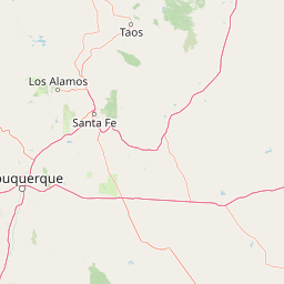
Streams
Park geography
Structured data on regional landscape features, elevation metrics, and spatial extent.
Detailed Geographic Profile and Mapped Boundaries of Santa Fe National Forest in New Mexico
This geographic profile details the physical scope of Santa Fe National Forest, spanning over 6,306 square kilometers across New Mexico. The analysis includes recorded mountain peaks, stream networks, and hydrologic features found within the boundaries, providing a comprehensive look at the regional terrain.
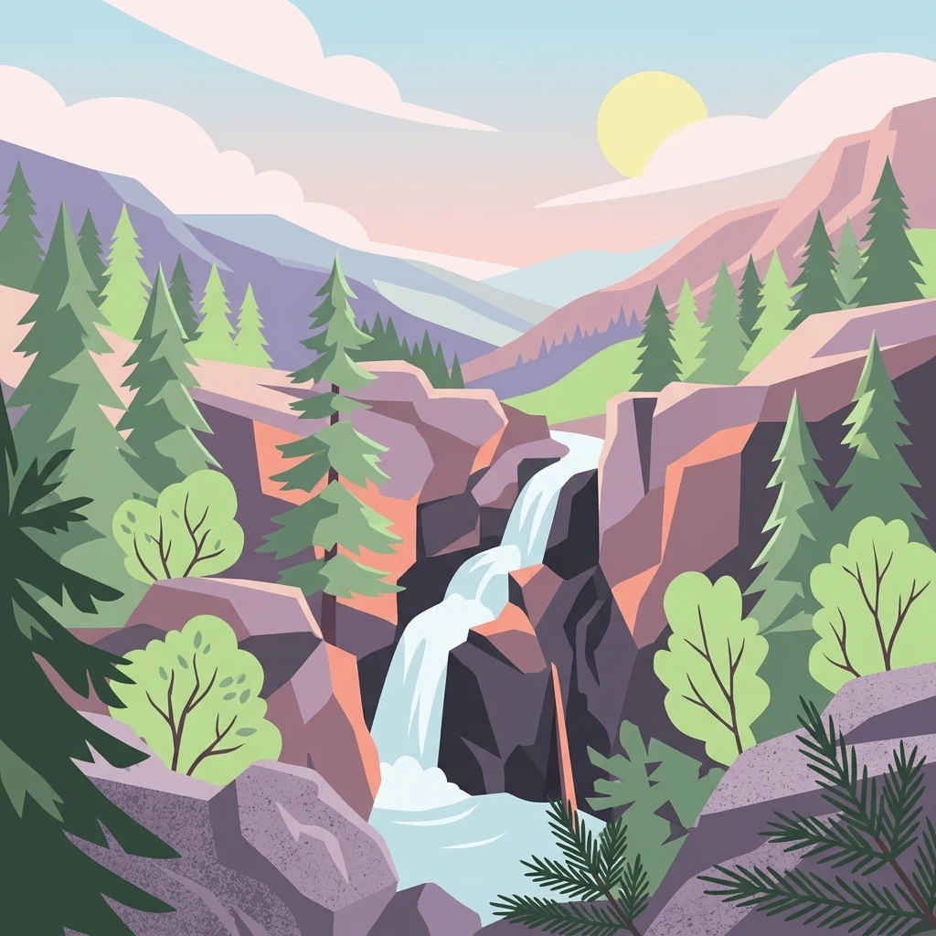
A vast mountain forest in northern New Mexico, spanning the Jemez and Sangre de Cristo ranges.
Santa Fe National Forest
Santa Fe National Forest is a large protected national forest in northern New Mexico, within the Southwestern United States. Managed by the U.S. Forest Service since 1915, it covers more than 1.5 million acres across a series of widely separated ranger districts in the Jemez Mountains, the Sangre de Cristo Mountains, and the foothills between them. The forest's elevation ranges from roughly 5,300 feet along its lower canyons to over 13,000 feet at the summit of Truchas Peak in the Pecos Wilderness, giving it an unusually broad gradient of climate zones and vegetation types. The landscape includes deep river canyons, high volcanic peaks, sweeping conifer forests, and large stands of quaking aspen that turn gold in autumn. The forest is closely associated with surrounding protected lands, including Bandelier National Monument, the Valles Caldera National Preserve, and several designated wilderness areas such as the Pecos, Dome, Chama River Canyon, and San Pedro Parks wildernesses. Santa Fe National Forest is an important destination for hiking, scenic driving, camping, and seasonal leaf-peeping tourism, while also supporting traditional uses and providing watershed and ecological functions for north-central New Mexico.
- Location
- United States of America
- Park type
- Protected landscape
- Established
- 1915
- Area
- 6,306.8 km²
- Highest point
- 4,000 m
Location overview
Recorded Country and Regional Administrative Data
Geographic Overview of Santa Fe National Forest
Santa Fe National Forest is situated within the United States of America and New Mexico. Administrative records verify the official regional memberships without coastal or transboundary designations.
- Countries
- United States of America
- Regions
- New Mexico
- Primary location
- New Mexico
- Geographic setting
- Inland
Boundary and coordinates
Santa Fe National Forest’s outline maps 6,306.83 km²
Santa Fe National Forest mapped boundary and 6,306.83 km² area
Santa Fe National Forest has mapped geometry spanning a documented 6,306.83 km². The outline conveys the forest’s expansive setting, while no land–marine allocation or perimeter is separately recorded.
- Boundary area
- 6,271.8 km²
- Boundary perimeter
- 2,819.1 km
- Northernmost point
- 36.5211° N
- Southernmost point
- 35.2307° N
- Easternmost point
- 105.1613° W
- Westernmost point
- 107.0282° W
- Geographic centre
- 35.9032° N, 106.231° W
- North–south span
- 143.2 km
- East–west span
- 168.6 km
Elevation and terrain
Explore recorded peaks, streams, and summit heights.
Santa Fe National Forest Terrain and Mountain Elevation Data
This elevation summary outlines the mountain terrain parameters recorded for the protected area. Corresponding feature cards detail the names, types, and spatial relationships of recorded natural features within the boundary.
- Highest point
- 4,000 m
Selected named natural features
Streams
La Madera Arroyo
Streams
Rio Cebolla
Peaks
Los Cerritos
2,529 m
Peaks
Mesa de los Datiles
2,116 m
Streams
Pueblo Canyon
Environmental setting
Mountain relief attributes, major water systems, and year-round patterns
Santa Fe National Forest Environmental Setting and Relief Classifications
Recorded environmental classifications organize the physical terrain and water presence into complementary interpretive categories. Mapped atlas links connect these classifications to related regional geography and protected areas.
- Relief
- Mountain
- Water
- Major water bodies
- Seasonality
- Year-round
Park atlas
Discover connected protected landscapes and regional mountain environments across New Mexico
Other Protected Areas and Parks Near Santa Fe National Forest for Regional Comparison
Compare Santa Fe National Forest with surrounding protected areas in the Jemez and Sangre de Cristo mountains. Evaluating adjacent natural reserves provides broader context for southwestern forest ecosystems and volcanic terrain.
Wildlife reserveSandoval County
Park boundaries overlap#1 closest
West

Dome Wilderness: Volcanic Domes and Protected Forest Geography in Sandoval County
High-desert wilderness area in the Jemez Mountains
Dome Wilderness is a protected natural area in Sandoval County, New Mexico, defined by its exposed volcanic domes and dramatic post-fire recovery landscape. Sitting within the Santa Fe National Forest, the terrain preserves both natural geological features and significant prehistoric archaeological sites. Its unique visual character, shaped by the 1996 Dome Fire, contrasts open, fire-swept slopes with dense coniferous forest stands.
- Area
- 21 km²
- Established
- 1980
- IUCN
- Ib
- Relief
- Mountain
Protected landscapeSandoval County
About 0 km away#2 closest
West
Jemez National Recreation Area: Geography and Protected Land Map Overview
Exploring volcanic plateaus and river canyons in northern New Mexico
Jemez National Recreation Area represents a key protected landscape in Sandoval County, encompassing diverse forested uplands and steep volcanic canyons. The area serves as a focal point for understanding the geological legacy of the Jemez Mountains, providing a clear window into how river incision and ancient volcanic activity have shaped the regional terrain. Its proximity to national forest lands and the Valles Caldera system makes it a vital unit for geographic study and mapped landscape exploration.
- Area
- 233.3 km²
- Established
- 1993
- Visitors
- 1.6M annual
- Relief
- Mountain

Protected landscapeColorado
58 km away#3 closest
North
Rio Grande National Forest: Atlas and Geographic Profile of a Southern Colorado Landscape
Watershed geography and Continental Divide terrain analysis.
Rio Grande National Forest represents an immense protected landscape encompassing diverse terrain from high desert steppe to rugged alpine peaks. This profile details the forest's hydrological significance as the source of the Rio Grande and its role as a massive ecological transition zone in the Mountain West. Examine the boundaries and mountain geography that define this critical protected area.
- Area
- 7,500 km²
- Established
- 1908
- Relief
- Mountain
- Climate
- Boreal
Protected landscapeColorado
58 km away#4 closest
Northwest
San Juan National Forest: Geographic Overview of a Major Southern Colorado Protected Landscape
Mapped terrain across the Southern San Juan Mountains
San Juan National Forest represents a massive protected landscape in western Colorado, defined by its rugged alpine peaks, dense conifer forests, and glacial valleys. This atlas entry details the forest boundary, its position along the Continental Divide, and the surrounding transition into the Colorado Plateau. It provides a structured look at the terrain that connects diverse ecosystems, from high-altitude tundra to expansive mesa country, within one of the largest national forests in the American West.
- Area
- 7,603.42 km²
- Established
- 1905
- Relief
- Mountain
- Climate
- Alpine
Wildlife reserveNew Mexico
75 km away#5 closest
Northeast
Latir Peak Wilderness: Mapped Geography of the Sangre de Cristo Mountains
High-elevation wilderness reserves in northern New Mexico
Latir Peak Wilderness presents a distinct vertical landscape within the northern Sangre de Cristo Mountains. This protected area features a unique combination of high-altitude summits, rounded alpine mesas, and cold-water trout habitats. Mapped terrain includes the significant Lake Fork of Cabresto Creek drainage and dense conifer forests that define this 20,506-acre wilderness unit.
- Area
- 82.98 km²
- Established
- 1980
- IUCN
- Ib
- Relief
- Mountain
Protected areaNew Mexico
83 km away#6 closest
South
Manzano Mountain Wilderness: Rugged Protected Landscapes in Central New Mexico
Canyon-scarred mountain geography and forest ecosystems.
Manzano Mountain Wilderness is a significant protected area defined by its deep, radiating canyons and compressed elevational ranges. From pinyon-juniper foothills to the spruce-fir heights of the crest, this landscape offers a detailed look at the varied natural terrain found within the Cibola National Forest in New Mexico.
- Area
- 149.23 km²
- Established
- 1978
- IUCN
- Ib
- Relief
- Mountain

Protected landscapeNew Mexico
87 km away#7 closest
East
Kiowa National Grassland: Protected Landscapes, Canyon Terrain, and Prairie Geography
Northeastern New Mexico shortgrass prairie and river canyon systems.
Kiowa National Grassland represents a distinctive protected landscape within the southwestern Great Plains, featuring a mix of rolling steppe, pinyon-juniper woodland, and the deep gorges of the Canadian River Canyon. This area offers significant insight into the regional geography of New Mexico, where historic Santa Fe Trail corridors and seasonal playa lakes define the local terrain and ecosystem.
- Area
- 554.95 km²
- Established
- 1960
- Relief
- Upland
- Climate
- Temperate

Protected landscapeColorado
133 km away#8 closest
North
San Isabel National Forest: Geographic Overview and Protected Mountain Landscape Atlas
Central Colorado alpine terrain and designated wilderness areas
Spanning eleven counties in central Colorado, San Isabel National Forest serves as a cornerstone of the Southern Rocky Mountains. The forest landscape is dominated by the Sawatch and Sangre de Cristo ranges, offering a unique atlas of alpine tundra, dense coniferous forests, and high-altitude peaks that define the character of the region. This protected area provides a vital habitat and a vast, rugged environment characterized by volcanic formations like the Spanish Peaks and glacial geological features.
- Area
- 4,533.42 km²
- Established
- 1902
- Relief
- Mountain
- Climate
- Alpine
MoriAtlas Explorer
Continue Exploring the Santa Fe National Forest Protected Landscape
Deepen your understanding of Santa Fe National Forest by investigating its diverse mountain ranges, expansive canyon systems, and protected wilderness boundaries within the MoriAtlas regional geography database. Gain insight into the volcanic terrain of the Jemez Mountains and the alpine summits of the Sangre de Cristo range across New Mexico.
Browse next
Global natural geography
Explore related park routes
Explore MoriAtlas Global ParksBrowse All MoriAtlas ParksGlobal Park Map DiscoveryMoriAtlas: Browse All CountriesBrowse All MoriAtlas ContinentsNational Park Environment AtlasGrand Canyon National Park AtlasYellowstone National Park AtlasYosemite National Park Atlas and GeographySerengeti National Park AtlasGalápagos National Park Protected LandscapeBanff National Park Geography and AtlasKruger National Park Atlas EntryUluṟu-Kata Tjuṯa National Park AtlasExplore Uluru-Kata Tjuta National Park GeographyPlitvice Lakes National Park AtlasFiordland National Park Protected LandscapeGreat Smoky Mountains National Park AtlasAfghanistan National Parks and Protected AreasAlbania National Parks and Protected AreasAlgeria National Parks and Protected AreasAmerican Samoa National Parks and Protected AreasAndorra National Parks and Protected AreasAngola National Parks and Protected AreasAntarctica National Parks and Protected AreasAntigua and Barbuda Park List