Mori Atlas logo
Park earthquake history

Reviewing documented epicentre distance, event depth, and magnitude data for regional occurrences.

Historical Earthquake Records and Recorded Seismic Activity Associated with the Soonwald Region

Explore a structured collection of historical earthquake records identified within the geographic vicinity of the Soonwald ridge system in Rhineland-Palatinate. This catalogue details individual seismic events by date, recorded magnitude, and depth to provide context for historical landscape observations. All provided information relies on standardized tracking of epicentre proximity rather than geological causality, ensuring a clear view of recorded data points surrounding this quartzite massif.

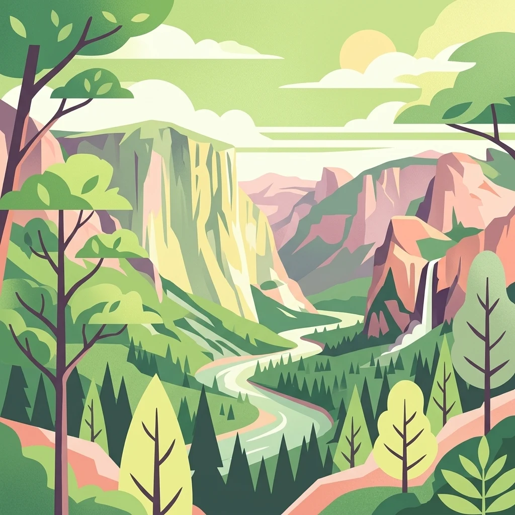
Stylized flat vector illustration of a scenic valley with steep rock cliffs, a winding river flowing through the center, a waterfall on the right, and pine forests in the foreground under a sunlit sky.

A forested quartzite ridge in the eastern Hunsrück, one of Germany's largest contiguous forest landscapes.

Soonwald

The Soonwald is a quartzite-dominated ridge system in the eastern part of the Hunsrück low mountain range in Rhineland-Palatinate, Germany. Rising to its highest point at the Ellerspring (657.5 m) and forming roughly 40 km of uninterrupted crestlines when the adjacent Lützelsoon and Binger Wald are included, it represents one of the most cohesive forested massifs of the German Mittelgebirge landscape. Geologically, its parallel ridges of hard Taunus quartzite over softer surrounding rocks have produced a tight, ridgeline-dominated terrain dissected by deeply incised streams. The whole Großer Soon lies within the Naturpark Soonwald-Nahe, and ecologically it is characterized by extensive mixed forest, old-growth nature reserves, and protected wet meadow fragments that shelter rare plants and breeding birds. Culturally, the Soonwald has been documented since 868 as a royal or monastic forest pasture, and it carries centuries of layered heritage: prehistoric barrows, medieval castle ruins overlooking the Nahe tributaries, Romantic-era literary attention from Hunsrück poets, and the persistent legend of the robber Schinderhannes. Although the region once stood as a candidate for a Rhineland-Palatinate national park, that designation was ultimately awarded to the nearby Hochwald instead.

Location
Germany
Park type
Protected landscape
Area
276.6 km²
Highest point
658 m
Soonwald Protected Landscape Atlas

Search Soonwald earthquake data by magnitude and distance

Study past earthquake observations in the area around Soonwald

Past earthquake observations around Soonwald are related to the protected forest through epicentre positions and calculated distance, not claimed as occurrences within it. Study dates, magnitudes, depths, location labels, distance measures, and sources without assigning seismic causes to forest or landscape features, assessing present danger, or predicting subsequent events.

Sort by
Magnitude
Location

This page describes catalogued earthquakes associated with the park by epicentre location and distance. It does not establish causation, assess current danger, or predict future earthquakes.

No earthquake records match the current filters

Park atlas

Move from Soonwald earthquake records to other destinations

Continue discovering parks and protected areas beyond Soonwald

Once the Soonwald earthquake records have been explored, continue to a separately curated range of parks and protected areas. Their appearance does not communicate common forests, legal designation, habitats, geology, seismic history, proximity, hazard conditions, risk, or equivalent source availability.
Nature reserveRhein-Hunsrück-Kreis
About 10 km away#1 closest

North

Struth Nature Reserve: Protected Wetland and Forest Geography in Rhein-Hunsruck-Kreis

Extensive wetland mosaic within the Hunsruck uplands

Struth is a sprawling nature reserve in Germany, known for its rare alder swamp woodlands and expansive wet meadows. Its geography reveals a transitional landscape between forested uplands and the Middle Rhine valley, offering a vital ecological corridor that includes protected habitat for threatened bat and beetle species across 871 hectares.

Area
8.71 km²
Established
1987
Relief
Upland
Scope
Terrestrial
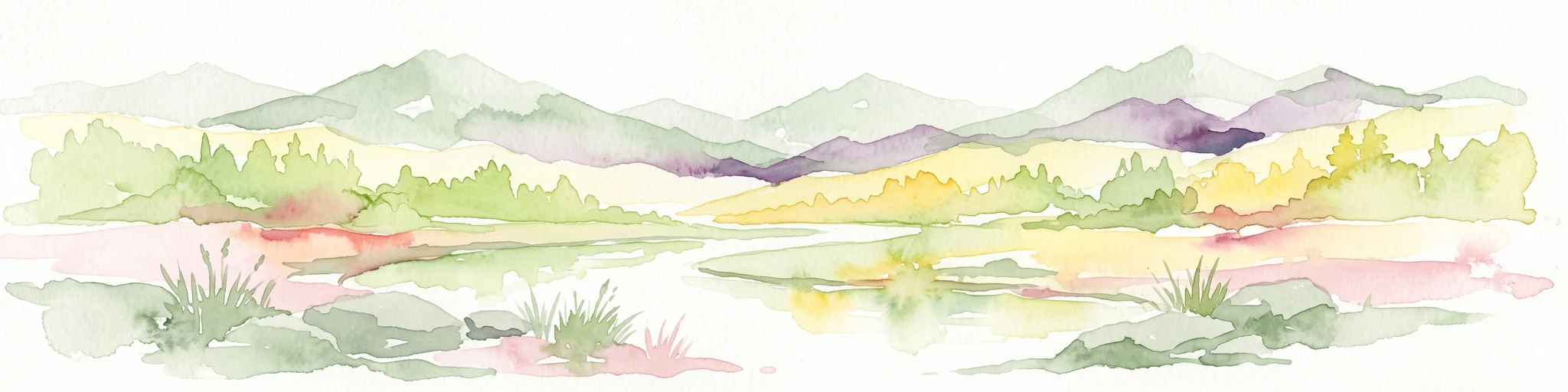
A horizontal watercolor painting showing a serene valley landscape with distant rolling mountains, a central winding river or stream, and grassy banks in soft muted colors.
Nature reserveGermany
About 14 km away#2 closest

Northeast

Morgenbachtal Nature Reserve: A Geographic Atlas of the Middle Rhine Slate Cliffs

Exploration of the Binger Wald protected valley and its geological terrain.

Morgenbachtal presents a unique geographic profile characterized by two distinct ridge lines of crystalline slate cliffs. This protected area in Germany balances strict conservation with a complex landscape of narrow ravines, mixed forests, and historical landmarks like the Steckeschlääferklamm gorge and medieval castle ruins along the Rhine.

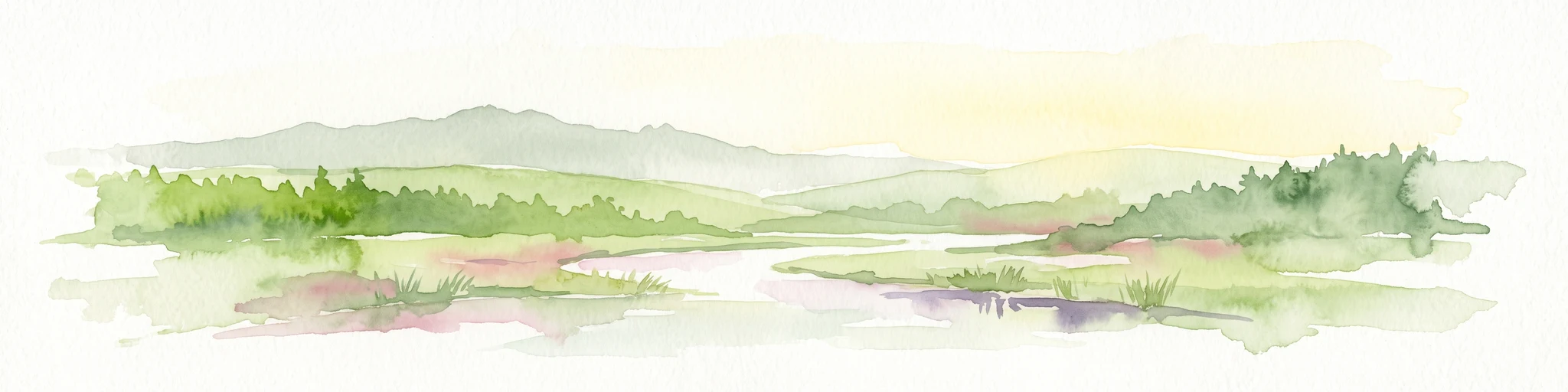
A watercolor painting showing a soft, atmospheric landscape with a river flowing through green hills and gentle, misty mountains.
Nature reserveRhineland-Palatinate
14 km away#3 closest

East

Inselrhein Nature Reserve, Rhineland-Palatinate: A Geographic and Protected-Area Atlas

River islands, floodplain forests, and Upper Rhine wetlands

Inselrhein features a chain of natural river islands and side channels forming a critical wetland habitat. The terrain transition from soft-wood to hardwood forest communities creates a layered landscape. Examine the protected boundaries and geographic significance of this river corridor between Mainz and Bingen, documented within the Rhineland-Palatinate atlas.

Relief
Lowland
Climate
Temperate
Access
Easy access
Scope
Terrestrial
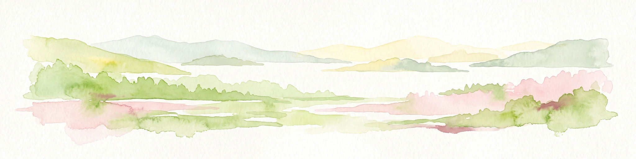
A horizontal watercolor painting showing a river winding through lush green islands and low hills in the background.
Nature reserveHesse
14 km away#4 closest

Northeast

Lorcher Werth Nature Reserve: Protected Rhine Island Geography and Floodplain Forest

An ecologically significant island pair in the Middle Rhine, Hesse.

Lorcher Werth is a unique river island complex in Hesse, Germany, designated as a nature reserve and European Habitats Directive site. These uninhabited islands act as a vital refuge for floodplain habitats, currently undergoing a transformation toward natural Auwald forest. This site provides a rare, flat fluvial counterpoint to the surrounding steep and narrow landscapes of the Middle Rhine corridor.

Area
0.129 km²
Relief
Lowland
Climate
Temperate
Access
Highly restricted
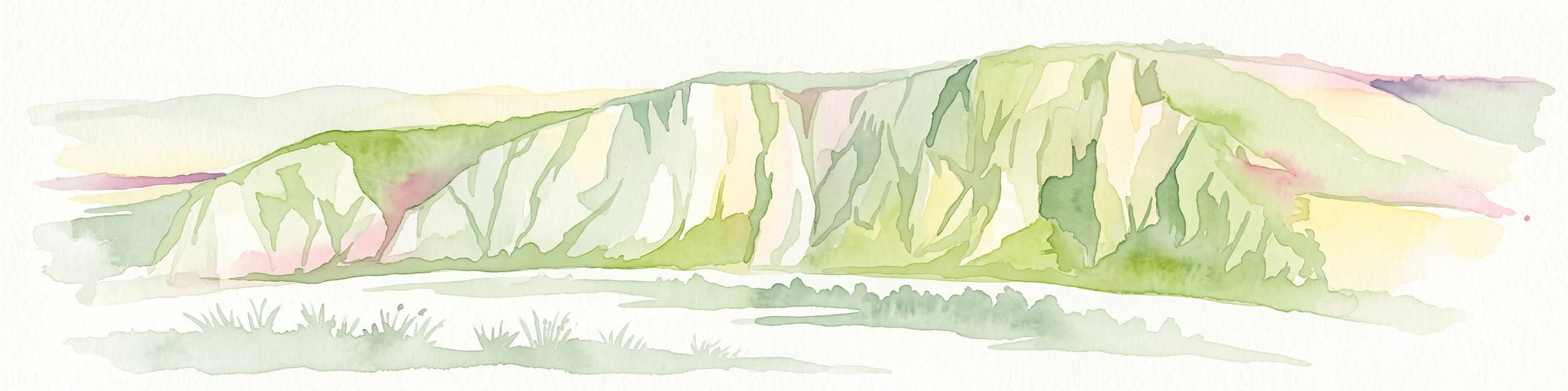
A horizontal watercolor painting depicting a wide, jagged rock cliff face with green hills, set against a plain background.
Nature reserveRheinland-Pfalz
About 15 km away#5 closest

Southeast

Rotenfels Nature Reserve: A Geographical Portrait of the Nahe Valley Rhyolite Cliff

Geological landscape and protected habitat in Rheinland-Pfalz.

The Rotenfels nature reserve is anchored by a massive 200 meter high rock wall formed from red rhyolite. This protected landscape is recognized for its vertical drop into the Nahe River valley, creating a distinct microclimate that supports specialized cliff vegetation and raptor habitats within a traditionally farmed viticultural region.

Area
0.91 km²
Established
1939
Relief
Mountain
Climate
Temperate
Watercolor painting of a river landscape with rolling green hills, distant slopes, and soft vegetation in shades of green and pink against a white background.
Nature reserveRheingau-Taunus-Kreis
19 km away#6 closest

East

Rüdesheimer Aue Nature Reserve and Upper Rhine Protected Landscape

Riverine geography and protected floodplain forest

Rüdesheimer Aue represents a rare, uninhabited island refuge along the Upper Rhine. Its geography features shifting sediment bars, mudflats, and softwood floodplain forest cover, offering an essential staging ground for migratory waterbirds within the Rheingau-Taunus district of Hesse.

Area
0.057 km²
Relief
Lowland
Climate
Temperate
Access
Remote access
Watercolor painting of a forested landscape with rolling hills and distant mountains under a pale sky
National parkSaarland
20 km away#7 closest

Southwest

Hunsrück-Hochwald National Park: Saarland Protected Area Atlas and Landscape Context

Explore the mapped terrain and protected geography of this German national park.

Delve into the specific geography and protected landscape of Hunsrück-Hochwald National Park in Saarland. This detail page provides an atlas-centric view of the park's mapped boundaries, regional context, and its role as a national park. It serves as a foundational point for understanding the park's landscape features and its placement within the broader geographic atlas.

Area
100 km²
Established
2015
IUCN
II
Relief
Mountain
Watercolor painting of rolling green hills, small forest patches, and rocky outcrops under a soft, white background.
National parkRheinland-Pfalz
20 km away#8 closest

Southwest

Nationalpark Hunsrück-Hochwald: An Atlas and Geographic Overview of Protected Lands

Upland forest ecosystems and quartzite mountain terrain

The Hunsrück-Hochwald region showcases the transition of industrial-era forests toward near-natural wilderness. Its mapped territory integrates significant beech wood blocks with smaller wetland systems, reflecting a commitment to long-term biodiversity within the German uplands. Explore the structural composition and landscape features that define this protected zone.

Area
101.2 km²
Established
2015
IUCN
II
Relief
Mountain
MoriAtlas Explorer

Continue Exploring the Soonwald Protected Landscape and Hunsrück Geography

Navigate the complex ridgeline terrain and forested massifs of the Soonwald within MoriAtlas. This resource provides detailed geographic insights into the quartzite structures and protected natural boundaries of the Rhineland-Palatinate mountain regions, helping users build a comprehensive understanding of this significant landscape entity.

Global natural geography