Mori Atlas logo
Park earthquake history

Review historical records including event magnitude, depth, and epicentre distance data.

Stellmoor und Weichel Earthquake History: A Recorded Collection of Nearby Seismic Events

This collection presents a catalogue of recorded seismic events associated with the geographical area surrounding Stellmoor und Weichel. Each record provides essential data points including event date, seismic magnitude, focal depth, and calculated distance from the nature reserve boundaries. These historical entries facilitate an examination of recorded activity patterns within the Lower Saxony region.

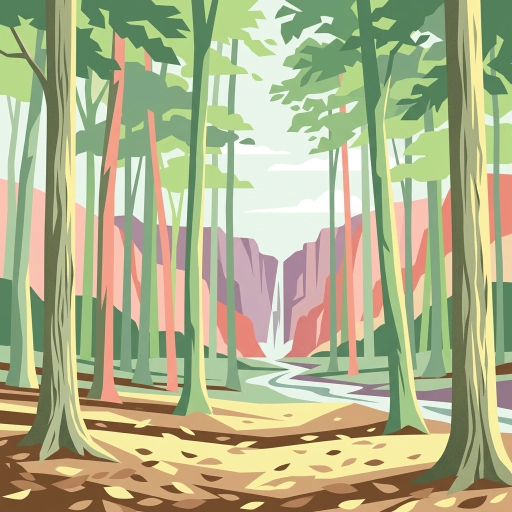
A graphic illustration of a forest with tall, slender trees in the foreground, a winding stream leading toward a distant waterfall, and rocky cliffs in the background.

A compact Lower Saxon nature reserve protecting oak, beech woodland and a fringed bog landscape on a low geest ridge.

Stellmoor und Weichel

Stellmoor und Weichel is a small nature reserve of roughly 218 hectares in the town of Rotenburg (Wümme), within the district of Rotenburg (Wümme) in Lower Saxony, northern Germany. It lies just north of the town, on a flat geest ridge where glacial-sand terrain gives way to a clinging bog complex along the edge of the higher ground. The protected area combines a mixed deciduous forest dominated by oak and beech with patches of conifer woodland, a large area left as a natural forest reserve since 1986, and an intricate mosaic of bog woodland, peat-moss floating mats, willow thicket, and partially silted-up standing water at the Stellmoor depression in the west. A few small meadows, managed as extensive hay meadows, are included along the margins. The site is almost exactly coextensive with a same-named European Fauna-Flora-Habitat (FFH) area, reflecting its importance for protected habitat types rather than for visitor scale. It was declared a nature reserve on 1 March 2018, absorbing the older landscape protection area "Stellmoor" that had been designated back in 1938. The reserve is administered by the district of Rotenburg (Wümme) as the lower nature conservation authority, while the site's habitats and species are managed with input from the Lower Saxon state agency for water management, coastal defence and nature conservation (NLWKN). Despite its modest size, the reserve preserves a layered cultural and ecological landscape that represents a typical, and increasingly rare, combination of northwestern German geest forest and bog. Stellmoor und Weichel stands out not for dramatic scenery but for the compact interplay of forest, mire and water on a low, flat terrain near the Wümme river system. It provides habitat continuity between the geest woodlands and the wetter bog margins, supports bog-forest and peat-forming communities, and shelters older, unmanaged forest structures within its long-established natural forest reserve.

Location
Germany
Park type
Nature reserve
Established
2018
Area
2.2 km²
Stellmoor und Weichel Nature Reserve Atlas

Inspect reported timing, depth and separation from this 2.18 km² German nature reserve

Trace earthquake records near Stellmoor und Weichel

Search earthquake observations around Stellmoor und Weichel, officially Naturschutzgebiet Stellmoor und Weichel, a 2.18 km² nature reserve; Reported dates, magnitudes, depths, localities and calculated distance support source-based spatial comparison. Absent protection, relief, water and landscape fields are not inferred, and proximity does not establish boundary occurrence, impacts, current danger or future events.

Sort by
Magnitude
Location

This page describes catalogued earthquakes associated with the park by epicentre location and distance. It does not establish causation, assess current danger, or predict future earthquakes.

No earthquake records match the current filters

Park atlas

Continue from Stellmoor und Weichel earthquake observations

Explore other protected destinations after Stellmoor und Weichel

Following the Stellmoor und Weichel earthquake observations, explore a stand-alone collection of parks and protected places. These options imply no common woodland or wetland environments, legal designation, biodiversity, geology, seismic experience, geographic closeness, hazards, risk, or equivalent source quality.
Nature reserveLandkreis Rotenburg (Wümme)
0.9 km away#1 closest

East

Wümmeniederung mit Rodau, Wiedau und Trochelbach: Protected Wetland and Heath Landscape

Regional geography and floodplain connectivity in Landkreis Rotenburg

This nature reserve protects a sprawling lowland landscape characterized by the Wümme, Rodau, Wiedau, and Trochelbach rivers. The terrain features a mosaic of near-natural meandering streams, species-rich wet meadows, and rare raised bog remnants, providing a comprehensive overview of northern German lowland ecology.

Area
28.96 km²
Established
2020
IUCN
IV
Relief
Lowland
Nature reserveLandkreis Rotenburg (Wümme)
About 4.8 km away#2 closest

Northwest

Westliches Borchelsmoor Nature Reserve: Geographic Profile and Protected Bog Landscape

A preserved peatland fragment in the Landkreis Rotenburg district.

Located in northern Lower Saxony, Westliches Borchelsmoor represents a significant remnant of the historical Borchelsmoor raised bog. The reserve showcases a complex topography of old drainage lines and birch woodland, providing a clear window into the ecological transition of modified moorland. This site serves as a core component of the local wetland mosaic and offers valuable insights into ongoing peatland restoration and bog conservation.

Area
1.25 km²
Established
2010
IUCN
IV
Relief
Lowland
Nature reserveLower Saxony
About 8.2 km away#3 closest

West

Wiestetal Nature Reserve: Mapping the Wieste Stream and Riparian Habitat Corridor

Protected floodplain geography in Lower Saxony, Germany

Wiestetal acts as a critical nature reserve between Mulmshorn and Ottersberg, protecting the unique ecological character of the Wieste lowland stream. The area is defined by its meandering water channels, flooded sand quarry ponds, and diverse forest edges that sustain local biodiversity. This protected landscape offers a detailed look at the interplay between glacial sand deposits and the vibrant aquatic ecosystems of Northern Germany.

Area
3.82 km²
Established
2013
IUCN
IV
Relief
Upland
Nature reserveLower Saxony
12 km away#4 closest

South

Wolfsgrund Nature Reserve: Geographic Overview of Protected Heathlands in Lower Saxony

Inland dune topography and alder swamp forest ecology

Wolfsgrund represents a core protected area in Lower Saxony, defined by its unique inland dune geography and the narrow valley of the Everser Bach. The reserve encompasses a diverse ecological gradient, protecting sensitive dry heath, moist heathlands, and alder swamp forests that serve as a crucial refuge for regional biodiversity. This structured geographic overview highlights the terrain transitions and conservation significance of this essential German nature reserve.

Area
0.458 km²
Established
1977
IUCN
IV
Nature reserveLower Saxony
13 km away#5 closest

South

Wedeholz Nature Reserve: Geographic Overview of Lower Saxony Protected Forest Landscapes

Ancient oak forests, Geest terrain, and protected wetland habitats

Wedeholz represents a dense forest conservation area in Lower Saxony, defined by its mature oak and beech communities. The reserve terrain transitions from dry sandy Geest soils to delicate pine swamp forests and floating bogs, supporting a high density of deadwood-dependent species and woodland biodiversity within a compact, protected boundary.

Area
1.83 km²
Established
2019
IUCN
IV
Relief
Upland
Nature reserveLower Saxony
About 15 km away#6 closest

Southwest

Waller Moor Nature Reserve: Geographic Context and Protected Landscape Profile

Mapping raised bog restoration in the Verden district of Lower Saxony

Waller Moor represents a focused effort to restore degraded peatland within Lower Saxony. By integrating grassland buffers and small pond habitats, the reserve preserves a specific lowland bog character. Its placement near the Spanger Holz woodland highlights the interplay between protected core habitats and managed regional terrain in northern Germany.

Area
0.25 km²
Established
1985
IUCN
IV
Relief
Lowland
Nature reserveNiedersachsen
About 18 km away#7 closest

Southwest

Waller Flachteiche Nature Reserve: Exploring the Geography of Protected Landscapes in Niedersachsen

Mapped habitats of a former sand quarry wetland

Waller Flachteiche is a state-recognized nature reserve covering over 22 hectares of sandy, lowland terrain in Germany. The protected area offers a look at a recovered industrial site, where periodically drying ponds and diverse scrubland create a specialized habitat for rare amphibians and wetland flora. Its defined boundaries highlight a critical Natura 2000 component within the broader Niedersachsen region.

Area
0.227 km²
Established
2018
IUCN
IV
Nature reserveLower Saxony
About 24 km away#8 closest

South

Verdener Moor Nature Reserve: Geographic Atlas and Protected Area Context

Preserving raised bog ecosystems in Lower Saxony, Germany

Located in the municipality of Kirchlinteln, Verdener Moor functions as a protected nature reserve that demonstrates lowland peatland conservation. The landscape features a distinct mosaic of open water resulting from historical peat extraction, wet heath, and rewilded forest edges. This site offers valuable insight into the restoration of bog habitats through rewetting and bush removal within the broader geography of Lower Saxony.

Area
0.91 km²
Established
1989
IUCN
IV
Relief
Lowland
MoriAtlas Explorer

Continue Exploring the Protected Landscapes of Stellmoor und Weichel

Deepen your understanding of North German protected areas by examining the specific terrain, forest composition, and wetland drainage patterns of Stellmoor und Weichel. MoriAtlas provides detailed context on the geographic interplay of this nature reserve, emphasizing its role in habitat preservation and regional landscape continuity.