Mori Atlas logo
Park earthquake history

A historical catalogue of regional seismic events documented by proximity to forest boundaries.

Recorded Earthquake History and Seismic Records Near Tahoe National Forest in California

This collection serves as a focused index of historical earthquake records associated by epicentre distance with the rugged terrain of Tahoe National Forest. Each entry provides technical data including recorded magnitude, focal depth, and event date sourced from established seismic monitoring records. This resource allows for the spatial and temporal review of seismic activity within the broader western Sierra Nevada region, providing context for the area's geological setting without implying hazard or causation.

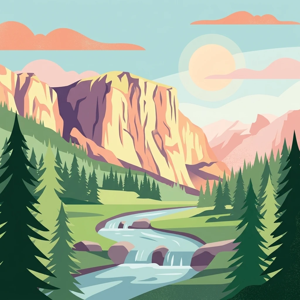
A stylized digital illustration of a scenic mountain landscape featuring steep cliffs, a flowing river with small cascades, and surrounding evergreen trees under a soft, warm sun.

A Sierra Nevada national forest of mountain rivers, granite canyons, alpine lakes, and the northernmost grove of giant sequoias.

Tahoe National Forest

Tahoe National Forest is a United States National Forest in California, situated northwest of Lake Tahoe and spanning parts of six counties: Sierra, Placer, Nevada, Yuba, Plumas, and El Dorado. With headquarters in Nevada City, the forest covers a large portion of the western Sierra Nevada, encompassing granite river canyons, hundreds of lakes and reservoirs, long ridgelines, and a portion of the Pacific Crest Trail. The forest rises from the canyons of the American River at around 1,500 feet to summits above 9,000 feet along the Sierra Crest, producing a layered tapestry of vegetation zones from mountain chaparral and mixed conifer up to red fir forest and eastside sage-pine slopes. It plays a key regional role as the headwaters supplying municipal water to communities in the Sacramento foothills and to Reno and Sparks in Nevada via the Truckee River, while also protecting old-growth habitat and the rare Placer County Big Trees Grove of giant sequoias, the northernmost grove of its kind. Tahoe National Forest is significant as both a working landscape managed for timber, water, and grazing resources under a federal charter, and as a heavily used recreation forest close to the Sacramento and Reno metropolitan areas. Its mix of rugged wilderness, accessible roads, campgrounds, and a network of trails makes it one of the most visited national forests in the Sierra Nevada.

Location
United States of America
Park type
Protected landscape
Established
1899
Area
3,526.8 km²
Highest point
2,617 m
Explore Tahoe National Forest Geography

Compare source-linked epicentres across Tahoe’s mountains, forests, lakes and rivers

Search earthquake geography around Tahoe National Forest

Review reported earthquakes around Tahoe National Forest, a 3,526.82 km² terrestrial mountain landscape with major water across forest, lakes and rivers; search time, magnitude, depth, locality and calculated forest distance while retaining each source. Geographic association does not confirm boundary occurrence, environmental impacts, seismic causation, present danger or future events.

Sort by
Magnitude
Location

This page describes catalogued earthquakes associated with the park by epicentre location and distance. It does not establish causation, assess current danger, or predict future earthquakes.

No earthquake records match the current filters

Park atlas

Go from Tahoe National Forest earthquake history to new parks

Continue to other protected destinations beyond Tahoe National Forest

After its Sierra Nevada rivers, granite canyons, lakes, and sequoias, discover protected places with their own identities. These recommendations are not seismic analogues, nearby substitutes, hazard comparisons, or sites with equivalent landscape and evidence.
A watercolor painting showing soft green hills, distant pink-hued mountains, and a pale blue lake in a serene, stylized landscape.
Protected landscapeNevada
Park boundaries overlap#1 closest

East

Humboldt, Toiyabe National Forest: Protected Landscape and Regional Mountain Geography

A vast network of Nevada mountain ranges and alpine wilderness

Humboldt, Toiyabe National Forest serves as a defining public land entity across Nevada and eastern California. As the largest national forest in the contiguous United States, it preserves a striking collection of isolated mountain ranges, including the Ruby Mountains and the rugged Jarbidge wilderness, within a broader basin-and-range landscape. Examine the boundaries and terrain that characterize this complex, high-desert ecosystem.

Area
25,454 km²
Established
1908
Relief
Mountain
Access
Easy access
Protected landscapeCalifornia
Park boundaries overlap#2 closest

North

Plumas National Forest: Mapped Geography and Protected Landscape Features in California

Exploring the Sierra Nevada watershed and wilderness terrain

Plumas National Forest serves as a critical protected landscape in northern California, anchoring the headwaters of the Feather River system. This atlas entry details the forest's rugged canyons, high elevation mountain lakes, and significant old growth conifer stands that define its role within the northern Sierra Nevada ecosystem.

Area
4,640 km²
Established
1907
Relief
Mountain
Climate
Mediterranean
Protected areaNevada
About 10 km away#3 closest

Southeast

Mount Rose Wilderness: Protected Landscape and Regional Geography in Northwestern Nevada

Carson Range alpine terrain and ecological transition mapping

Mount Rose Wilderness represents a significant protected area in the Carson Range, where 31,223 acres of terrain transition from the forested, subalpine slopes of the Sierra Nevada to the drier, sage-dominated Great Basin. The mapped landscape includes high granite peaks and meadows, offering a clear view of the complex environmental gradients that define this unique section of the American West.

Area
126.35 km²
Established
1989
Relief
Mountain
Climate
Temperate
A wide watercolor illustration showing a calm body of water surrounded by green hills, conifer trees, and reeds in the foreground.
Protected landscapeCalifornia
47 km away#4 closest

North

Lassen National Forest: Mapped Geography and Protected Landscapes of Northern California

Volcanic terrain and expansive old growth ecosystems

Lassen National Forest represents a vast protected landscape in Northern California, defined by its severe volcanic geology and resilient conifer forests. This atlas entry provides essential geographic context regarding the forest boundaries, the volcanic rim of Mount Tehama, and the intricate river systems shaping the region. Explore the terrain, from accessible lava tubes to the wilderness areas preserved within this significant mountain corridor.

Area
4,331.53 km²
Established
1905
Relief
Mountain
Climate
Temperate
Watercolor painting of green rolling hills, a tree-lined foreground, and a soft pink sunset sky.
Protected landscapeCalifornia
53 km away#5 closest

South

Stanislaus National Forest: Sierra Nevada Mountain Geography and Protected Wilderness Lands

California mountain terrain and forest landscape map

Stanislaus National Forest is a sprawling protected landscape located in the central Sierra Nevada of California. Characterized by volcanic and granite formations, the area protects critical watersheds, Wild and Scenic rivers, and large swaths of old growth forest that define the rugged mountain interior.

Area
3,634.48 km²
Established
1897
Relief
Mountain
Climate
Temperate
Wildlife reserveCalifornia
77 km away#6 closest

Northwest

Ishi Wilderness Wildlife Reserve: Mapping the Volcanic Canyons of the Cascade Foothills

Geographic atlas of protected northern California wilderness and cultural landscapes.

Ishi Wilderness represents a crucial protected area in northern California, where volcanic geology meets a deep-rooted cultural history. Explore the mapped ridgelines, river canyons, and diverse oak woodland habitats that define this unique wildlife reserve and its role within the Cascade foothills.

Area
167.29 km²
Established
1984
IUCN
Ib
Relief
Mountain
National parkCalifornia
87 km away#7 closest

Northwest

Lassen Volcanic National Park: Protected Landscape Identity and Geographic Context

Discover the mapped boundaries and natural terrain of this California national park.

Gain a structured understanding of Lassen Volcanic National Park as a protected landscape. This detail page provides essential geographic context, focusing on the park's mapped boundaries and its specific terrain characteristics within California. It is designed for users seeking detailed information about the park's protected status and its placement within the broader atlas of natural areas, emphasizing its unique geographic identity and conservation significance.

Area
430.8 km²
Established
1916
IUCN
II
Visitors
504.8K annual
Watercolor painting of a tranquil mountain lake surrounded by pine forests and distant rolling peaks in muted green and pink tones.
Wildlife reserveTuolumne County
91 km away#8 closest

Southeast

Emigrant Wilderness: A Detailed Geographic Atlas of Protected Sierra Nevada Landscapes

Mapping glaciated granite basins and volcanic ridges in Tuolumne County.

Emigrant Wilderness is a sprawling protected area defined by a distinct mix of granitic domes, cirques, and a unique volcanic sector in its northeastern reaches. Spanning from lower forest elevations to alpine peaks, the area provides a window into the complex geological history of the central Sierra Nevada. The terrain includes hundreds of high-country lakes and meadow systems that support diverse alpine ecosystems and represent the rugged nature of the Pacific Crest Trail corridor.

Area
454.37 km²
Established
1974
IUCN
Ib
Relief
Mountain
MoriAtlas Explorer

Continue Exploring the Protected Landscapes of Tahoe National Forest

Deepen your understanding of Tahoe National Forest by examining its mapped granite canyons, watershed connectivity, and alpine terrain. MoriAtlas provides a structured look at the geographic significance of this vast California protected landscape for regional and terrain-based exploration.