
Mori Atlas logo
Protected landscapeTalladega National Forest

Examining the ecological diversity and rugged mountain terrain of this protected forest

Talladega National Forest: A Mapped Exploration of Alabama Appalachian Landscapes

Talladega National Forest serves as a significant protected landscape spanning the southern edge of the Appalachian Mountains in Alabama. This expansive region encompasses two distinct geographic sectors, featuring both the rolling pine-oak woodlands of the Oakmulgee District and the dramatic high country of the Shoal Creek and Talladega Districts. Users can examine the park boundaries, explore the relief of Cheaha and Dugger Mountains, and trace the recovery of this diverse Appalachian forest habitat.

Appalachian forestsouthern Appalachiannational forestwilderness areasmixed mesophytic forestpine-oak woodland
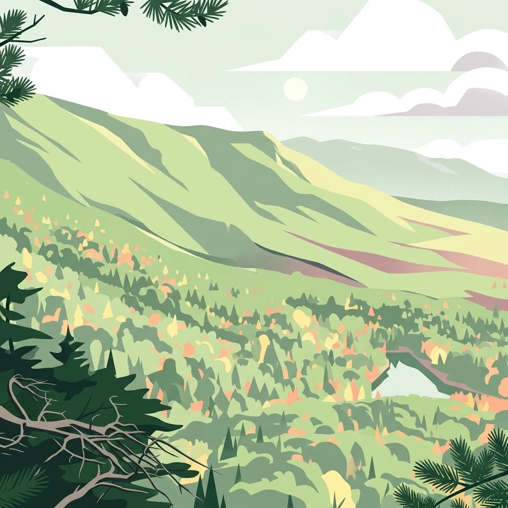
A flat-style digital illustration showing a lush, green mountain range under a light sky with simple clouds, with pine tree boughs framing the top and bottom corners.

Talladega National Forest

Protected landscape

Park overview

Structured park overview, official facts, and landscape profile for Talladega National Forest

Talladega National Forest park facts, protected area profile, and essential visitor context

Review the core facts for Talladega National Forest, including designation, size, terrain, visitor scale, habitats, and operating context in one park-focused overview.

About Talladega National Forest

Talladega National Forest occupies a long, irregular footprint across central and northeastern Alabama, sitting at the southern edge of the Appalachian range. Its terrain shifts from the rolling ridges and stream terraces of the Oakmulgee District in the central counties to the steeper uplands and low mountains of the Shoal Creek and Talladega Districts along the state's northeastern border. The two blocks are not connected as a single continuous tract, but together they define one of the most ecologically significant federal forests in Alabama.

The forest's elevation profile is led by Cheaha Mountain, which hosts the small Cheaha Wilderness and marks Alabama's high point, and by Dugger Mountain, which anchors the Dugger Mountain Wilderness. Around and below these summits, the forest spreads across hundreds of thousands of acres of pine and oak woodland in its western districts and Appalachian mixed mesophytic forest in its eastern districts. Varied topography, flowing streams, and a long history of regrowth produce the kind of habitat diversity that has helped the forest recover its ecological role.

Quick facts and research context for Talladega National Forest

Talladega National Forest is a federally managed forest in central and northeastern Alabama, established on July 17, 1936 and administered by the United States Forest Service. It is divided into three ranger districts, Oakmulgee, Shoal Creek, and Talladega, headquartered overall in Montgomery. The forest crosses parts of eleven Alabama counties, with Cleburne and Clay counties holding the largest shares of forest land. It now protects two designated wilderness areas, the Cheaha Wilderness and the Dugger Mountain Wilderness, on and around the highest peaks in the state.

Protection and recognition

Documented protection records and management frameworks for Talladega National Forest.

Talladega National Forest Protection Status and Terrestrial Conservation Scope

Terrestrial protection status and administrative designation details provide baseline context for conservation planning within Talladega National Forest. Official recognition records outline the scope of protected area management across the surrounding landscape.

Protection details

Protection scope
Terrestrial
Transboundary protection
No
Park context

Deeper park guide and search-rich context for Talladega National Forest

Talladega National Forest history, landscape, wildlife, and travel context

Explore Talladega National Forest through its history, landscape character, ecosystems, wildlife, conservation priorities, cultural context, and seasonal travel timing in a structured park guide built for atlas discovery and search intent.

Why Talladega National Forest stands out

Talladega National Forest is best known for encompassing Cheaha Mountain, the highest point in Alabama, and for protecting a large block of recovering southern Appalachian forest. It is also recognized for its two wilderness areas, Cheaha and Dugger Mountain, and for the broad ecological contrast between its central pine-oak ridges and its northeastern mixed mesophytic hardwood slopes. The forest carries a strong conservation identity because much of it was stripped and eroded in the early twentieth century and has since regrown into functioning habitat for black bear, white-tailed deer, red-cockaded woodpeckers, and other southeastern species. It stands as one of the state's most important examples of restored Appalachian forest landscape.
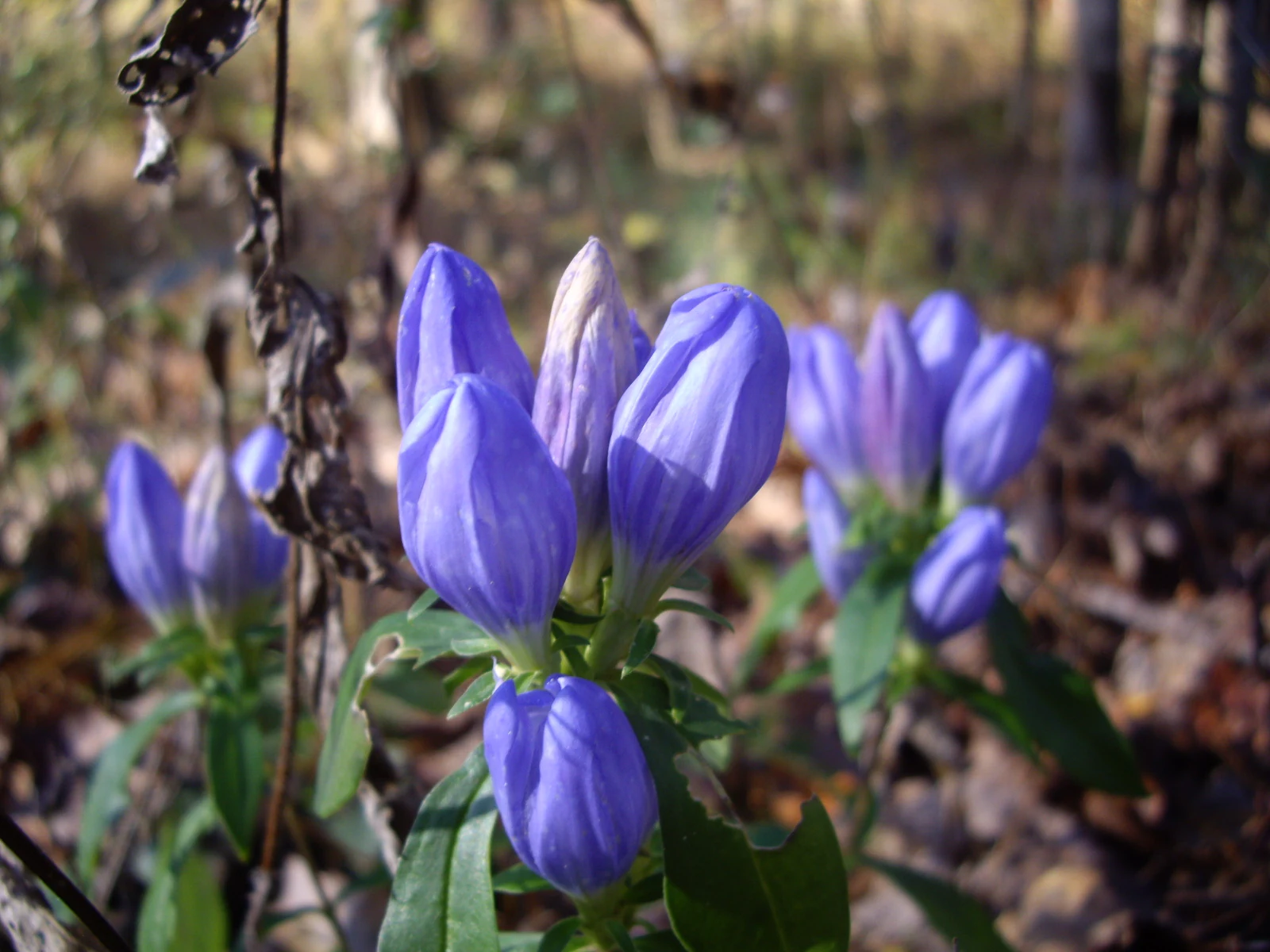
A close-up view of vibrant purple, closed, gentian-like flowers with green leaves, growing on a forest floor covered in dried leaves.
Alabama gentian wildflowers blooming in the forest floor understory.

Talladega National Forest history and protected-area timeline

The land that would become Talladega National Forest had been heavily logged and farmed for generations before the federal government acquired it. By the early twentieth century, much of the area was described as eroded and abused, ranking among the most degraded landscapes in Alabama. The U.S. Forest Service began purchasing these lands through the 1930s, and the forest was officially established on July 17, 1936. Since then, decades of regrowth have turned cutover and eroded country back into continuous forest cover.

Designation of wilderness areas later reinforced the forest's conservation role. The Cheaha Wilderness protects a portion of the high country around Cheaha Mountain, and the Dugger Mountain Wilderness surrounds Alabama's second-highest peak. Together with the surrounding national forest, these areas form a core network of protected southern Appalachian terrain in a state where such contiguous public forest is otherwise limited.

Talladega National Forest landscape and geographic character

Talladega National Forest spans two distinct landscape regions. In the central part of Alabama, the Oakmulgee District features level to moderately sloping terrain with broad ridges, stream terraces, and wide floodplains, characteristic of the Southeastern mixed forests ecoregion. The forest here reads as a long succession of pine and oak woodland interrupted by creek bottoms and open flats.

In the northeast, the Shoal Creek and Talladega Districts shift into upland hills and low mountains with predominantly moderately steep slopes. This is true Appalachian country, where higher elevations, cooler coves, and rocky outcrops create conditions for mixed mesophytic hardwood forests. The presence of Cheaha Mountain and Dugger Mountain gives this part of the forest dramatic relief and long-distance views that are rare elsewhere in Alabama.

Talladega National Forest ecosystems, habitats, and plant life

The forest's ecological identity is defined by the meeting of two major ecoregions. In its western districts, the Southeastern mixed forests ecoregion supports open pine and oak woodlands that have regrown across former cutover land. In its eastern districts, Appalachian mixed mesophytic forests take over, with richer hardwood communities suited to cooler, moister slopes and coves. This transition gives Talladega unusually high habitat diversity for a single national forest in Alabama.

Beyond the forests themselves, the network of streams, seeps, and springs across the higher elevations supports moisture-loving species and localized amphibian habitat. Wilderness protections around Cheaha and Dugger Mountain have helped stabilize parts of this forest cover, allowing natural processes to drive regeneration rather than active timber management.

Talladega National Forest wildlife and species highlights

Talladega National Forest hosts a rich mix of southeastern wildlife typical of recovering Appalachian and mixed pine-oak landscapes. Common mammals include white-tailed deer, coyote, black bear, raccoon, rabbit, wild turkey, bobwhite quail, gray and fox squirrels, and both gray and red fox. These species benefit from the forest's mix of mast-producing hardwoods, open pine stands, and edge habitat around streams and clearings.

The forest is also important for several protected or sensitive species, including the seepage salamander and the eastern spotted skunk. The red-cockaded woodpecker, a species of significant conservation concern in the Southeast, is found here as well, reflecting the value of older pine stands that the forest helps sustain. The presence of the critically endangered American chestnut, found in scattered form across the forest, ties modern Talladega to one of the great ecological losses of the eastern United States.

Talladega National Forest conservation status and protection priorities

Talladega National Forest matters as a conservation landscape primarily because it shows what large-scale forest recovery can achieve in the South. The land had been logged, farmed, and eroded before federal acquisition in the 1930s, but subsequent regrowth and U.S. Forest Service management have rebuilt continuous cover, helped stabilize soils, and restored habitat for wildlife across a major portion of Alabama's uplands.

Designated wilderness areas strengthen this conservation role. The 7,400-acre Cheaha Wilderness, surrounding Cheaha Mountain, and the Dugger Mountain Wilderness protect portions of Alabama's highest peaks under strict non-development management. The forest also supports populations of the red-cockaded woodpecker and species of concern like the seepage salamander and the eastern spotted skunk, and retains surviving American chestnut trees that give the forest an unusual connection to the broader history of eastern forest loss and restoration.

Talladega National Forest cultural meaning and human context

The landscape of Talladega National Forest carries a layered human history. Long before federal acquisition, the same Alabama uplands were worked by generations of loggers, farmers, and landholders whose activities left large parts of the region stripped and eroded. Federal purchases in the 1930s, during the broader New Deal era of land restoration, marked a turning point in how the landscape was managed and understood.

Top sights and standout views in Talladega National Forest

Talladega National Forest stands out for the scale of its recovery, for holding Alabama's highest and second-highest mountain peaks, and for protecting them through two distinct wilderness areas. Its combination of central Alabama pine-oak ridges and northeastern Appalachian hardwood forests gives it unusual ecological breadth within a single federally managed forest, and its populations of red-cockaded woodpecker, black bear, and surviving American chestnut add real conservation weight to an already distinctive landscape.

Best time to visit Talladega National Forest

Spring and fall are typically the most rewarding seasons to experience the character of Talladega National Forest. In spring, hardwood slopes in the Shoal Creek and Talladega Districts leaf out into rich green cover, wildflowers emerge across higher elevations, and temperatures are comfortable for exploring trails around Cheaha and Dugger Mountain. Fall brings strong color change to the northeastern hardwood forests, with cooler air and clearer views from the higher peaks. Summer is warm and humid across the state, but the higher elevations remain noticeably cooler than the surrounding lowlands, and winter offers the most open views from the ridgetops and summits.

Monthly climate preview

Long-term representative point measurements of temperature and precipitation rhythm

Talladega National Forest Climate Normals and Monthly Temperature Patterns

Historical climatology records outline the measured annual temperature range and monthly precipitation values captured at a representative coordinate within Talladega National Forest. Analyzing the complete twelve-month profile provides deeper insight into long-term meteorological trends across the protected landscape.
Annual mean17 °C
6 °C27 °C
Jan
Feb
Mar12°
Apr17°
May21°
Jun25°
Jul27°
Aug27°
Sep24°
Oct18°
Nov12°
Dec
Warmest month
July

27.2 °C

Coolest month
January

6.3 °C

Wettest month
February

4.7 mm/day

Driest month
October

2.5 mm/day

Park location guide

Geography guide, regional context, and park location map for Talladega National Forest

Talladega National Forest park geography, regions, and map view in United States of America

Understand where Talladega National Forest sits in United States of America through a broader geographic reading of the surrounding landscape, nearby location context, and its mapped position within the national park landscape.

How Talladega National Forest fits into United States of America

The United States of America is a federal presidential republic and one of the world's largest countries by area and population. It consists of 50 states across a vast territory spanning multiple time zones, with its capital in Washington, D.C. and largest city in New York City. The nation has a diverse economy, influential political system, and significant cultural and military presence globally.

Wider geography shaping Talladega National Forest in United States of America

The United States occupies a vast territory in North America, bordered by Canada to the north and Mexico to the south. The 48 contiguous states stretch from the Atlantic to the Pacific Ocean, while Alaska occupies the northwestern region and Hawaii is an archipelago in the Pacific. The country encompasses diverse terrain including the Rocky Mountains, Appalachian Mountains, Great Plains, and extensive river systems.

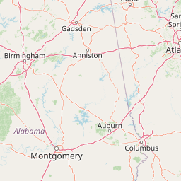
Map view of Talladega National Forest

Use this park location map to pinpoint Talladega National Forest in United States of America, understand its exact geographic position, and read its mapped placement within the surrounding landscape more clearly.

Pigeon | © OpenStreetMap contributors

Location context for Talladega National Forest

Alabama

Explore the recovering mountain terrain, mixed hardwood forests, and high country elevations.

Talladega National Forest Photos and Landscapes: Visualizing Appalachian Scenery

Talladega National Forest photos reveal the complex terrain of southern Appalachian mountain peaks and recovering pine woodlands. Protected area imagery provides visual context for understanding the varied habitats and regional topography of Alabama high country.

A close-up view of vibrant purple, closed, gentian-like flowers with green leaves, growing on a forest floor covered in dried leaves.

An elevated, wide-angle view of a dense forest spanning rolling hills and mountains in autumn, with a small lake visible in the lower right and cloudy skies above.

Park atlas

Compare nearby national forests and surrounding Appalachian mountain landscapes.

Parks Near Talladega National Forest and Related Protected Areas in the Region

Browse other parks near Talladega National Forest to compare recovering southern Appalachian ecosystems and regional protected landscapes. Examining adjacent forest districts and nearby mountain terrain provides a broader geographic view of southeastern conservation areas.
Watercolor painting of a mountain landscape with soft layers of green hills, trees, and a foreground area, rendered in a pale and minimalist style.
Wildlife reserveAlabama
About 104 km away#1 closest

Northeast

Dugger Mountain Wilderness: Mapping Alabama's Appalachian Ridge and Forest Landscapes

Protected mountain terrain and regional Appalachian geography

Dugger Mountain Wilderness acts as a primary anchor for ecological preservation in Alabama. This wildlife reserve preserves over 9,000 acres of steep, roadless ridges near the Appalachian margin. By studying the topographic boundaries and forest cover of this area, observers can better understand the regional mountain characteristics and the critical role this terrain plays in maintaining intact, uninterrupted natural corridors.

Area
37 km²
Established
2000
IUCN
Ib
Relief
Mountain
Protected landscapeAlabama
About 108 km away#2 closest

Northwest

William B. Bankhead National Forest: Cumberland Plateau Landscapes and Geography

Protected river gorges and forested ridges in northwestern Alabama

Covering extensive tracts across Lawrence, Winston, and Franklin counties, William B. Bankhead National Forest anchors the regional geography of the Cumberland Plateau. This atlas entry provides a detailed look at the forest's stream-carved terrain, limestone geology, and its central role in preserving the riparian corridors of the Sipsey Fork and its surrounding protected wilderness.

Area
733.4 km²
Established
1918
Relief
Upland
Scope
Terrestrial
Protected landscapeMacon County
About 113 km away#3 closest

Southeast

Tuskegee National Forest: A Protected Landscape in Macon County, Alabama

Mapped geography and forest terrain in the American South

Tuskegee National Forest represents a concentrated pocket of protected land in Macon County, Alabama. As the smallest national forest in the country, it provides a dense network of trails and stream terraces that demonstrate how compact forests sustain regional biodiversity and outdoor recreation.

Area
45.54 km²
Established
1959
Relief
Upland
Climate
Subtropical
A pale, soft-focus watercolor painting showing a river with gentle banks and distant hills, with tree branches hanging in the top right corner.
Protected landscapeGeorgia
About 201 km away#4 closest

Northeast

Chattahoochee River National Recreation Area: Protected Landscape Map and Regional Geography

River corridors, Piedmont forest, and historic tributary gorges

This protected landscape in northern Georgia preserves a vital 48-mile corridor along the Chattahoochee River. The terrain shifts from vertical palisade cliffs to wide shoals and forested tributary gorges, weaving through the metropolitan landscape of Atlanta. The area serves as a significant regional anchor for natural river ecosystems and historic industrial remnants.

Area
42.69 km²
Established
1978
IUCN
V
Visitors
3.5M annual
Protected landscapeMississippi
About 227 km away#5 closest

West

Tombigbee National Forest: Geographic Atlas and Protected Landscape Overview

Mapping the forest terrain and regional watershed in Mississippi

Tombigbee National Forest represents a complex protected landscape divided into two non-contiguous sections across northeastern Mississippi. From the pine-and-hardwood ridges of its northern unit to the reservoir-anchored southern portion, the forest offers a detailed case study in regional topography and watershed management within the southeastern United States.

Area
271.16 km²
Established
1959
Relief
Upland
Climate
Subtropical
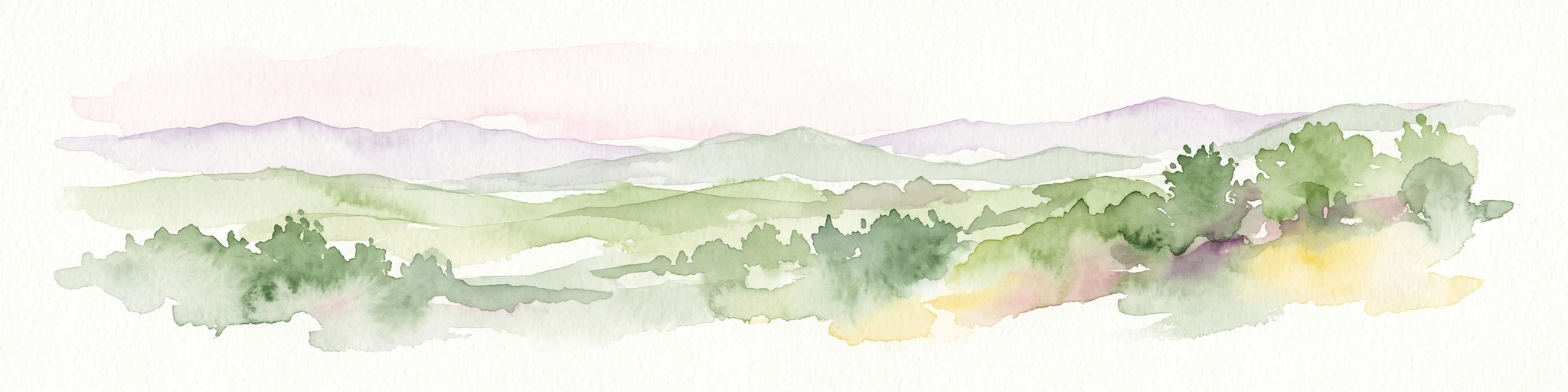
A wide watercolor painting showing a landscape of green rolling hills with trees in the foreground and layers of purple mountains in the background against a white background.
Protected areaGilmer County
About 254 km away#6 closest

Northeast

Rich Mountain Wilderness: Mapping Appalachian Ridges and Protected Terrain in Georgia

Explore the high-elevation forests of Gilmer County.

Rich Mountain Wilderness encompasses nearly 9,500 acres of undisturbed Appalachian mountain landscape. Characterized by its signature 4,050-foot peak and unique porter's loam soils, the area supports a diverse forest ecosystem shielded under federal wilderness protection within the Chattahoochee National Forest.

Area
38.35 km²
Established
1986
IUCN
Ib
Relief
Mountain
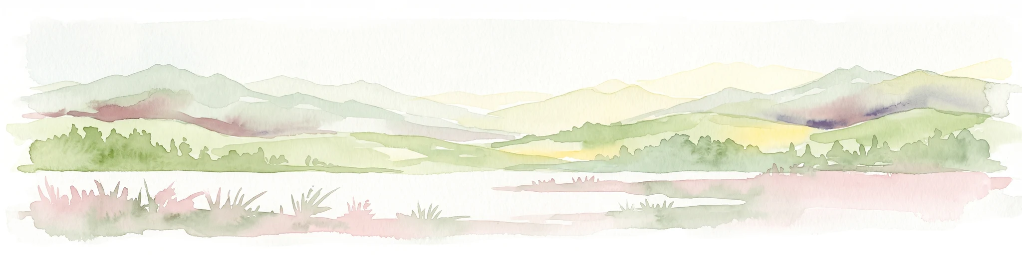
A soft watercolor illustration depicting a landscape of rolling hills and mountain silhouettes in shades of green, yellow, and faint red against a white background.
Protected landscapeGeorgia
About 263 km away#7 closest

Northeast

Ed Jenkins National Recreation Area and Southern Appalachian Mountain Geography

Protected forested ridges and trail gateway in northern Georgia

Covering over 23,000 acres, this protected area features the iconic southern terminus of the Appalachian Trail at Springer Mountain. The unit preserves a dense tapestry of hardwood forests, rolling ridges, and spring-fed stream valleys, representing a core portion of the Blue Ridge mountain range's continuous landscape in northern Georgia.

Area
94.4 km²
Established
1991
Relief
Mountain
Climate
Temperate
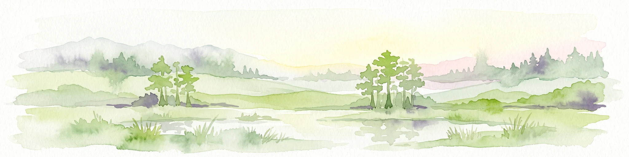
Watercolor painting of a green landscape featuring rolling hills, small clusters of trees, and a calm water feature in the foreground.
Protected landscapeMississippi
About 286 km away#8 closest

Northwest

Holly Springs National Forest: Geographic Context and Protected Landscape Boundaries

Northern Mississippi forest topography and ecological restoration geography.

Holly Springs National Forest occupies the rolling hills of north central Mississippi, where federal land tracts form a complex mosaic with private holdings. This protected area features diverse forest types including loblolly and shortleaf pine uplands alongside bottomland hardwood swamps. It serves as an essential watershed region, hosting multiple reservoirs like Chewalla Lake and Puskus Lake while protecting the headwaters of the Wolf River.

Area
629.94 km²
Established
1936
Relief
Upland
Climate
Subtropical

Common questions about visiting, size, designation, and location context for Talladega National Forest

Talladega National Forest FAQs for park facts, access, geography, and protected area context

Find quick answers about Talladega National Forest, including protected-area facts, park geography, trail and visitor context, and how the park fits into its surrounding country and regional landscape.
MoriAtlas Explorer

Continue Your Protected Areas Search Across the Global Atlas

Deepen your exploration by continuing the structured search for national parks and protected areas worldwide. Utilize the comprehensive filtering capabilities to compare different conservation landscapes and refine your understanding of global park geography. Discover more about the distribution and characteristics of protected natural areas.

Global natural geography