
Islands
Park geography
Technical analysis of park location, spatial extent, and marine landscape features
Comprehensive Geographic Profile and Mapped Boundaries of Teluk Cenderawasih National Park
Teluk Cenderawasih National Park represents an expansive marine protected area in West Papua spanning 14,535 square kilometers. This geographic profile details the park boundary coordinates, territorial perimeter, and the distribution of internal islands such as Pulau Rorebo and Pulau Nusariwanni, alongside significant bay systems.
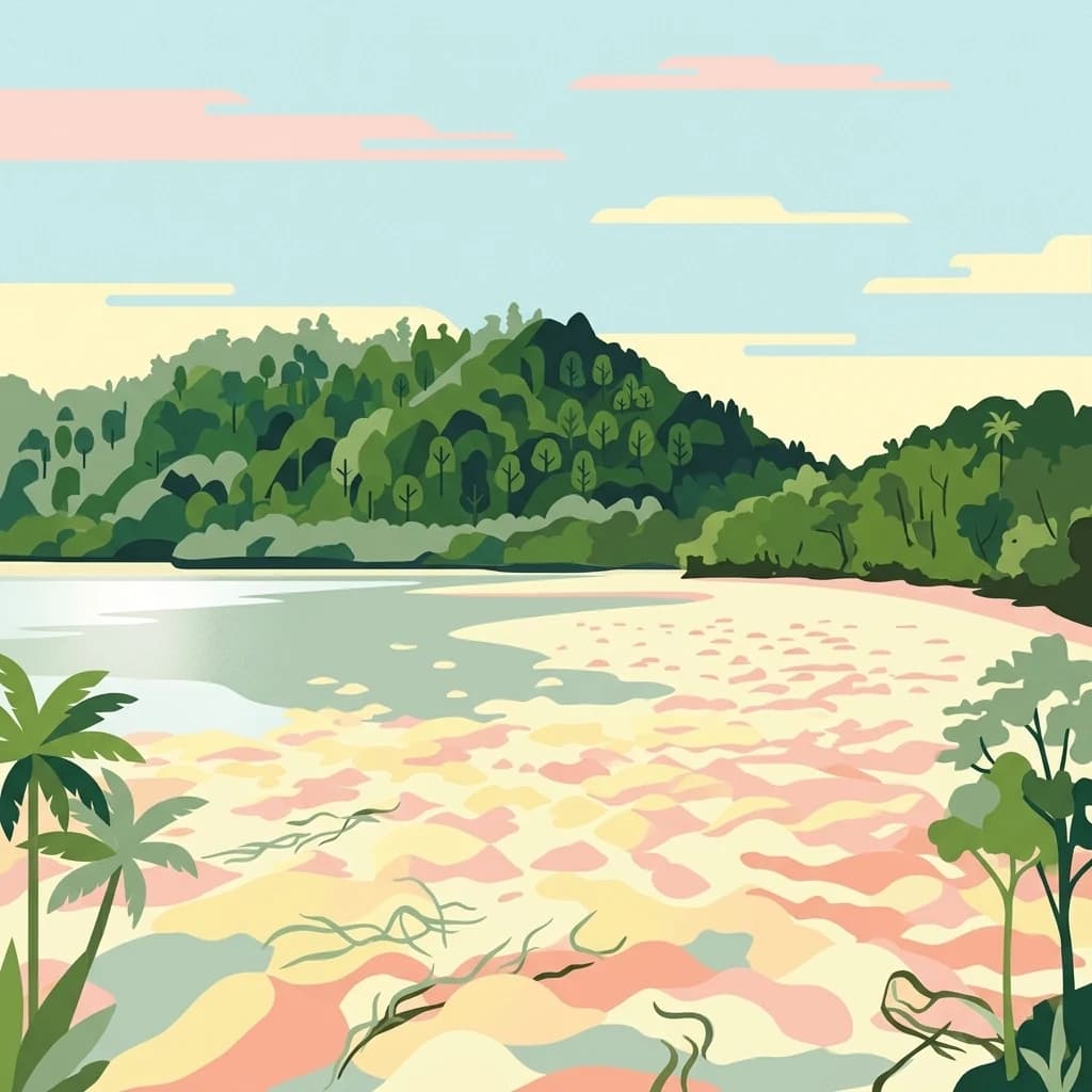
Indonesia's largest marine national park protecting the coral reefs and islands of Cenderawasih Bay
Teluk Cenderawasih National Park
Teluk Cenderawasih National Park is the largest marine national park in Indonesia, encompassing a vast stretch of ocean, islands, and coastal ecosystems in Cenderawasih Bay on the island of New Guinea. The park covers approximately 14,500 square kilometers of marine and island terrain, making it a globally significant protected area for tropical marine biodiversity. Located in West Papua province, the park protects a complex of islands including Mioswaar, Nusrowi, Roon, Rumberpon, Anggrameos, and Yoop, each supporting distinct ecological communities. The park lies adjacent to the Bird's Head Peninsula, one of the most biodiverse marine regions on Earth, and forms part of the Coral Triangle, a global center of marine species richness. The protected area was established to safeguard one of Indonesia's most important marine ecosystems, with extensive coral reefs, mangrove forests, and productive open waters supporting extraordinary marine life.
- Location
- Indonesia
- Park type
- National park
- Established
- 2002
- Area
- 14,535 km²
Location overview
Coastal, island, and marine zones in Indonesia and American Samoa
Geography and Location of Teluk Cenderawasih National Park
Teluk Cenderawasih National Park spans regional territories in West Papua, Indonesia, and American Samoa. Its mapped borders encompass protected marine areas alongside notable coastal and island environments.
- Countries
- Indonesia
- Regions
- West Papua
- Primary location
- West Papua
- Geographic setting
- Coastal · Island · Marine
Boundary and coordinates
Explore mapped protected area geometry and derived spatial measurements
Teluk Cenderawasih National Park Boundary Map and Spatial Extent
Interactive boundary mapping provides clear spatial context for the protected area and its surrounding region. Accompanying facts detail the recorded territorial extent, spatial center, and geographic span.
- Boundary area
- 19,040 km²
- Boundary perimeter
- 1,007.2 km
- Northernmost point
- 1.6914° S
- Southernmost point
- 3.3991° S
- Easternmost point
- 135.3766° E
- Westernmost point
- 134.0801° E
- Geographic centre
- 2.3749° S, 134.8496° E
- North–south span
- 188.8 km
- East–west span
- 144.2 km
Terrain and natural features
Mapped island formations, straits, and bays within boundaries
Teluk Cenderawasih National Park Terrain and Natural Features
Recorded natural features include multiple islands, straits, and bays situated entirely within protected marine limits. Linked feature cards supply official names, types, and spatial relationships for each mapped entry.
Selected named natural features
Islands
Kumburi
Islands
Rorebo
Islands
Pulau Rippon
Islands
Pulau Roriegi
Islands
Pulau Nusir
Environmental setting
Interpreting dominant water presence across the protected marine geography
Environmental Setting and Water Classifications of Teluk Cenderawasih National Park
Recorded environmental categories provide structured interpretive contexts for reading the physical setting of Teluk Cenderawasih National Park. Linked atlas classifications connect these dominant water presence indicators to relevant regional destinations.
- Water
- Water-dominated
Park atlas
Explore the Regional Spread of Marine Protected Landscapes and Coastal Ecosystems Surrounding Cenderawasih Bay
Discover Other Marine National Parks and Protected Areas Near Teluk Cenderawasih National Park
Browse other significant marine national parks and protected areas that share geographic context with Teluk Cenderawasih National Park, a critical part of Indonesia's Coral Triangle. Compare the diverse coral reef ecosystems, island formations, and marine biodiversity across adjacent protected landscapes, enhancing your atlas-style understanding of West Papua's conservation efforts.

National parkCentral Papua
About 313 km away#1 closest
Southeast
Lorentz National Park
Explore its regional geography and protected area boundaries.
Lorentz National Park, in Central Papua, Indonesia. Landscapes: mountains, forests, and wetlands.
- Area
- 25,056 km²
- Established
- 1997
- IUCN
- II
- Relief
- Mountain
National parkMaluku
About 530 km away#2 closest
West
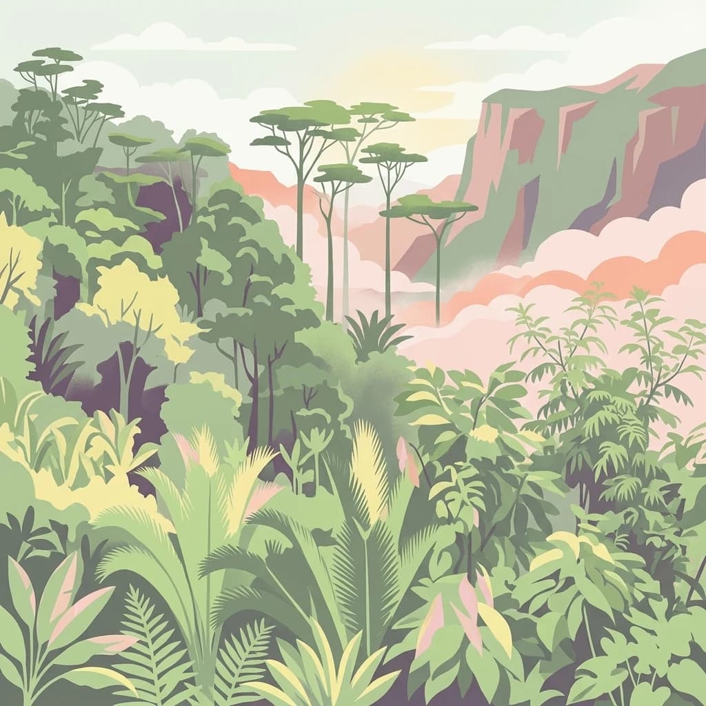
Manusela National Park: National Park Atlas Exploration and Geographic Context
Mapped protected landscape in Maluku, Indonesia
Manusela National Park serves as a key entity for understanding protected land distribution and regional geography within Indonesia. As a designated national park, it provides a unique opportunity for detailed atlas exploration, focusing on its mapped boundaries and specific landscape character. Discover the geographic significance and conservation context of this protected area in Maluku.
- Area
- 1,890 km²
- Established
- 1997
- IUCN
- II
- Relief
- Mountain
Marine protected areaNorthern Territory
638 km away#3 closest
South

Arafura Marine Park: Mapping Submarine Canyons and Protected Coral Environments
Offshore Northern Territory marine geography and conservation mapping
Covering over 22,000 square kilometres, Arafura Marine Park features a unique underwater landscape defined by its expansive continental shelf and deep offshore canyon systems. This reserve functions as a vital protected area in the Northern Territory, balancing conservation objectives with regulated use across its varied seafloor geomorphology, including the iconic Money Shoal.
- Area
- 22,924.1 km²
- Established
- 2018
- IUCN
- VI
- Climate
- Tropical
National parkNorth Maluku
About 719 km away#4 closest
Northwest
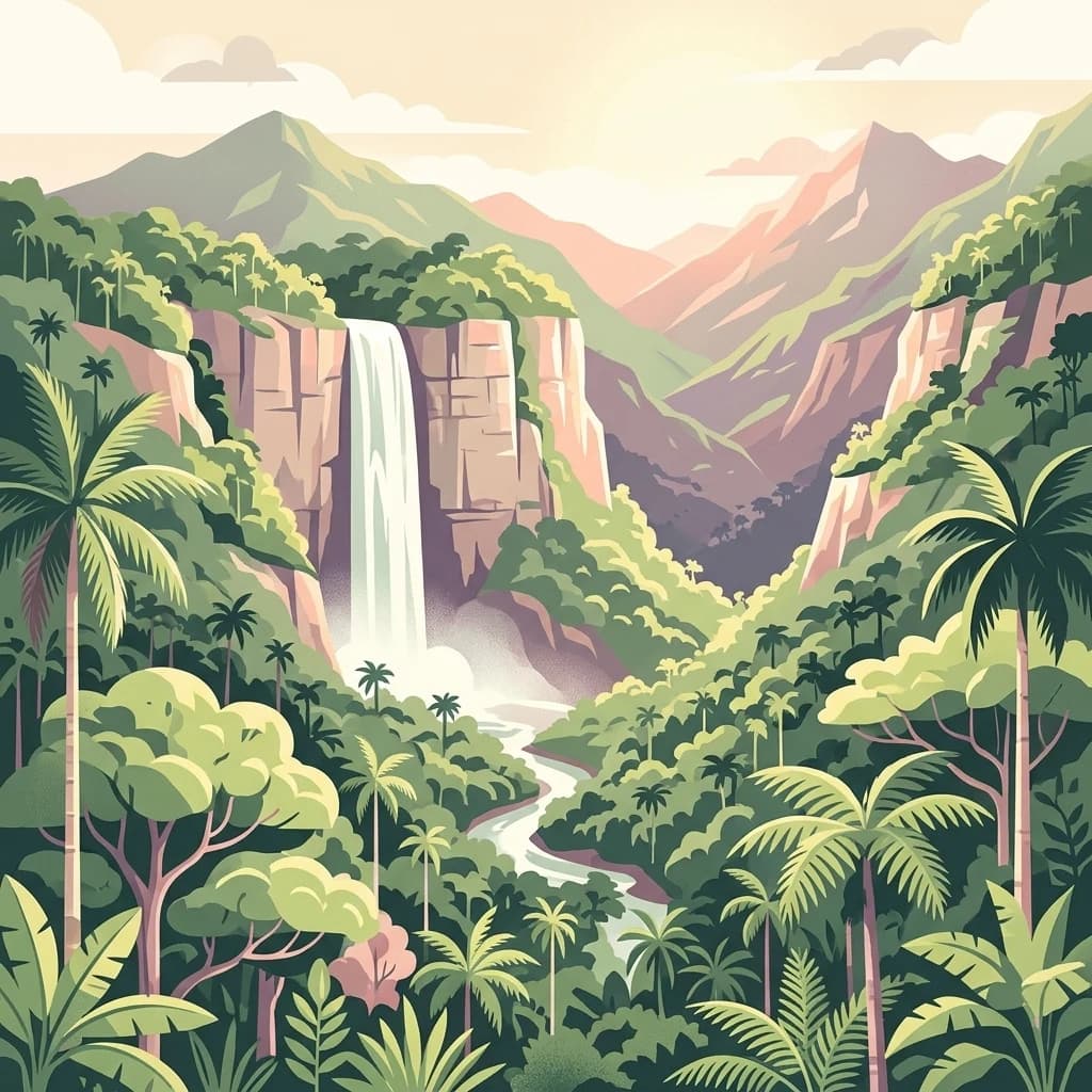
Aketajawe-Lolobata National Park: Protected Landscape and Geographic Context in North Maluku
Explore the national park's mapped boundaries and regional setting.
Aketajawe-Lolobata National Park represents a significant protected area within North Maluku, Indonesia. This national park detail page provides focused insight into its geographic identity, allowing for exploration of its mapped boundaries and its role within the regional landscape context. Delve into the specifics of this Indonesian national park and its place in a structured atlas of protected lands.
- Area
- 1,673 km²
- Established
- 2004
- IUCN
- II
- Relief
- Mixed relief
National parkSouth Papua
794 km away#5 closest
Southeast
Wasur National Park National Park: Mapped Protected Boundaries in South Papua
Explore the geographic context and park boundaries.
Delve into the specific protected area identity of Wasur National Park, a national park situated within the South Papua region. This page offers detailed geographic context, focusing on its mapped boundaries and its significance as a protected landscape. It provides a factual basis for understanding the park's place within Indonesia's network of natural areas for structured atlas exploration.
- Area
- 4,138 km²
- Established
- 1990
- IUCN
- II
- Visitors
- 2.3K annual
Marine protected areaNorthern Territory
822 km away#6 closest
Southwest
Oceanic Shoals Marine Park: A Regional Overview of Protected Marine Geography
Explore the seafloor features and protected shelf waters of Northern Australia.
Oceanic Shoals Marine Park is a sprawling marine protected area located off the coast of the Northern Territory. It serves as a cornerstone of the North Marine Parks Network, featuring distinctive geological formations such as the Van Diemen Rise and the pinnacles of the Bonaparte Basin. This atlas entry details the park's bathymetric diversity, ranging from shallow carbonate banks to the deep shelf break of the Arafura Sea, highlighting its role as a productive corridor for migratory marine megafauna and reef ecosystems.
- Area
- 71,743 km²
- Established
- 2018
- IUCN
- VI
- Relief
- Lowland
National parkNorthern Territory
899 km away#7 closest
South
Garig Gunak Barlu National Park: Northern Territory's Remote Protected Coastal Wilderness & Map Atlas
Explore its unique marine protected area and mapped landscape context.
Garig Gunak Barlu National Park is a significant protected coastal wilderness, covering the entire Cobourg Peninsula in Australia's Northern Territory. This national park designation protects extensive terrestrial landscapes alongside vital adjacent marine waters. The park is renowned for its comprehensive safeguarding of marine turtle habitats and its designation as a Ramsar Wetland, emphasizing its ecological importance. Understanding Garig Gunak Barlu National Park involves exploring its mapped protected boundaries and its role as a crucial element of Northern Territory's protected landscapes, offering a unique atlas-style view of coastal conservation.
- Area
- 2,260.06 km²
- Established
- 2000
- IUCN
- II
- Relief
- Lowland
Wildlife reserveWestern Province
About 924 km away#8 closest
Southeast

Tonda Wildlife Management Area: Atlas of Protected Wetlands and Savanna Landscapes
Geographic overview of Papua New Guinea's largest wetland conservation zone
Spanning nearly 6,000 square kilometres of floodplain, Tonda Wildlife Management Area is defined by its exceptionally flat terrain and shifting mosaic of monsoon forest, tidal channels, and freshwater marshes. This protected landscape functions as an essential ecological bridge within the Trans-Fly ecoregion, maintaining deep connections to international conservation partners while preserving the integrity of its native bird and mammal habitats.
- Area
- 5,900 km²
- Established
- 1975
MoriAtlas Explorer
Continue Exploring Teluk Cenderawasih National Park's Geography and Mapped Boundaries
To deepen your understanding of Teluk Cenderawasih National Park, continue exploring its specific geographic features and protected land status. Discover how this national park fits within the larger atlas of West Papua, examining its mapped extent and regional landscape context to build a comprehensive geographic appreciation.
Browse next
Global natural geography
Explore related park routes
Explore MoriAtlas Global ParksBrowse All MoriAtlas ParksGlobal Park Map DiscoveryMoriAtlas: Browse All CountriesBrowse All MoriAtlas ContinentsNational Park Environment AtlasGrand Canyon National Park AtlasYellowstone National Park AtlasYosemite National Park Atlas and GeographySerengeti National Park AtlasGalápagos National Park Protected LandscapeBanff National Park Geography and AtlasKruger National Park Atlas EntryExplore Uluru-Kata Tjuta National Park GeographyPlitvice Lakes National Park AtlasFiordland National Park Protected LandscapeGreat Smoky Mountains National Park AtlasZion National Park Protected Landscape AtlasAfghanistan National Parks and Protected AreasAlbania National Parks and Protected AreasAlgeria National Parks and Protected AreasAmerican Samoa National Parks and Protected AreasAndorra National Parks and Protected AreasAngola National Parks and Protected AreasAntarctica National Parks and Protected AreasAntigua and Barbuda Park List