
Why Unterer Niederrhein stands out
Unterer Niederrhein is best known for its large, open Rhine floodplain landscapes that serve as a nationally important refuge for migratory and wintering geese, especially the White-fronted Goose and the Bean Goose, as well as for breeding wetland birds such as Common Tern, Garganey, Black Tern, and Spotted Crake. The complex of seasonally flooded meadows, sand and mud banks, oxbows, old river channels, and silver willow forests gives the area its defining ecological identity. It stands out as one of the most significant river-floodplain bird protection areas in North Rhine-Westphalia and a key node in the network of EU-protected sites along the Lower Rhine.
Unterer Niederrhein history and protected-area timeline
Unterer Niederrhein was formally designated as a European Bird Protection Area through a 1983 ordinance issued by the Regierungspräsidium Düsseldorf, placing it within the legal framework of the EU Birds Directive. The Birds Directive aims to conserve all naturally occurring wild bird species across the European Union and to regulate the protection, management, and control of these species, their eggs, and their habitats.
The protected landscape itself is the product of centuries of interaction between the Rhine and human land use. The dike forelands and hinterland meadows, the network of oxbows and old channels, and the silver willow forests reflect the historical cultural landscape that evolved along the Lower Rhine. While the designation gives the area its modern conservation identity, the ecological value of the floodplain long predates the 1983 ordinance, with the river and its shifting channels continually shaping breeding and feeding conditions.
The site's institutional administration rests with the Regierungspräsidium Düsseldorf together with the Landesamt für Natur, Umwelt und Verbraucherschutz Nordrhein-Westfalen, located in Recklinghausen, ensuring that the area is managed as an integrated part of North Rhine-Westphalia's broader nature conservation framework and linked to FFH and national-level protections.
Unterer Niederrhein landscape and geographic character
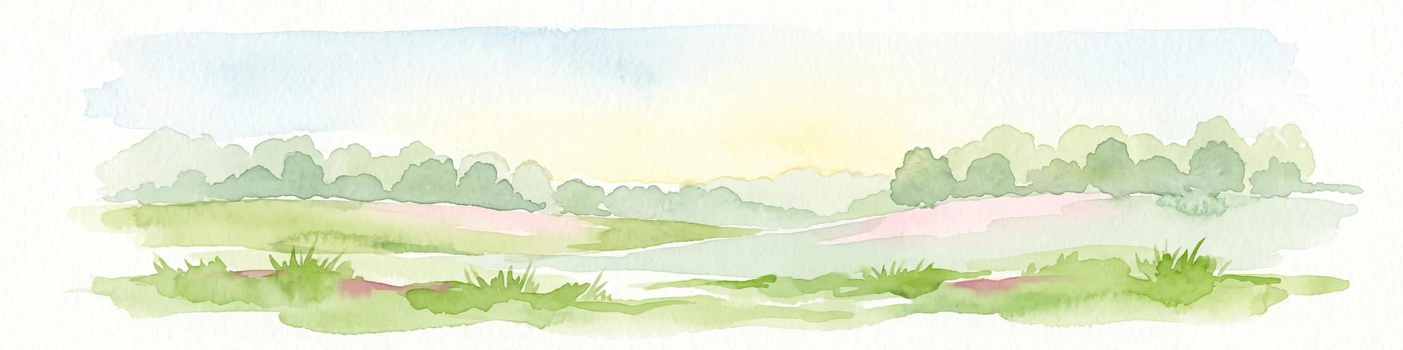
The landscape of Unterer Niederrhein is defined by the wide, low-lying floodplain of the Lower Rhine and the interplay between diked and undiked land. Sand and mud banks emerge along the river in late summer as water levels fall, while periodically flooded meadows stretch across the dike hinterland, patterning the ground with pastures and hay meadows.
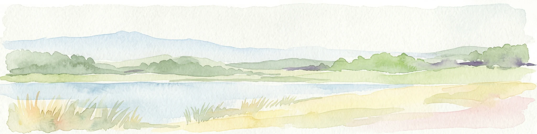
A defining feature of the area is its network of former and current river channels. Oxbows, abandoned channels, and deep scour pools are filled with floating-leaf and emergent reed vegetation, and silted-up zones have produced reedbeds and wet meadows. These water bodies are framed by silver willow woods and willow scrub, with hedgerows and pollarded head trees giving the agricultural land a characteristic small-scale structure.
Abstraction lakes and reclaimed gravel pits add standing water habitats to the mosaic, while fragments of deciduous woodland, plantation forest, and rocky or sandy inland habitats introduce additional variety. The richness of this landscape is in the diversity and connectivity of its elements rather than in any single dominant feature, creating an unusually complete floodplain environment along the German Lower Rhine.
Unterer Niederrhein ecosystems, habitats, and plant life
The nature of Unterer Niederrhein is essentially a floodplain ecology shaped by the seasonal dynamics of the Rhine and centuries of cultural land use. Improved and moist grasslands form the largest habitat class, complemented by arable land, open inland waters, mires and reedbeds, dry grassland and heath, deciduous woodland, plantation forest, and small patches of rocky or sandy inland surface.
Protected habitat types include nutrient-rich natural lakes, slow-flowing lowland rivers with aquatic vegetation, rivers with muddy pioneer plant communities, dry calcareous grasslands, tall herb floodplain fringes, species-rich hay meadows, and two key floodplain forest types: alder and ash floodplain forest, and hardwood floodplain oak forests with pedunculate oak and ash. Together these provide the structural backbone for the area's breeding, resting, and wintering bird populations.
The ecological character of the site is strongly tied to hydrology. High groundwater levels, natural flooding dynamics, and the renewal of open river habitats maintain the conditions required for pioneer species, while reedbeds, wet meadows, and small water bodies supply breeding habitat for a wide range of waterbirds. The result is a habitat mosaic that is both highly productive and strongly dependent on continued floodplain management.
Unterer Niederrhein wildlife and species highlights
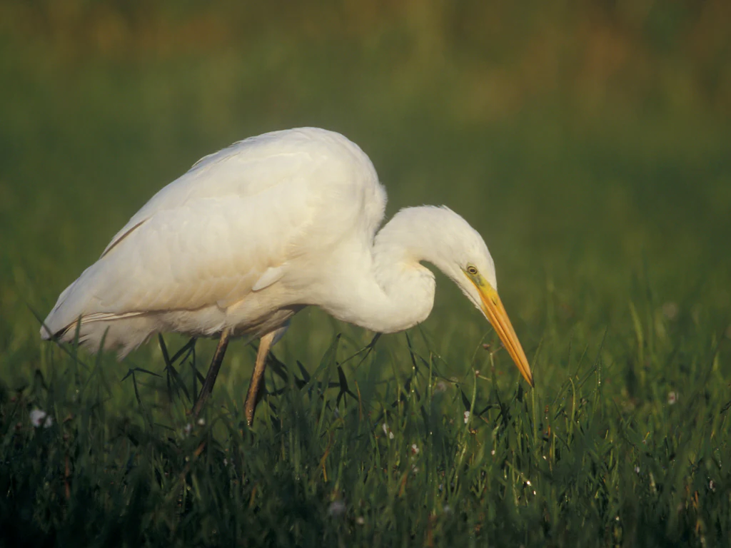
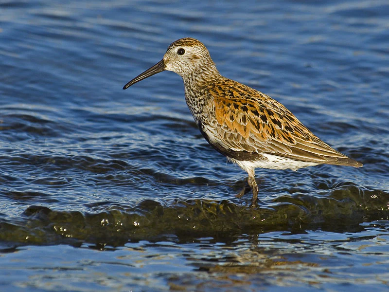
Unterer Niederrhein is unusually rich in birdlife, with formal protection goals defined for a long list of breeding species, migratory visitors, and winter guests. The area has state-wide importance for breeding populations of Common Tern, Garganey, Eurasian Reed Warbler, Black Tern, and Spotted Crake, and acts as a major resting and wintering area for White-fronted Goose, Bean Goose, Wood Sandpiper, Eurasian Bittern, Whooper Swan, Tundra Swan, and Smew, among others.
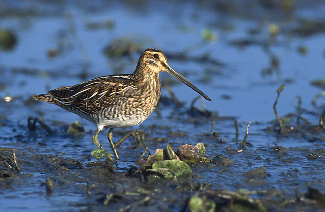
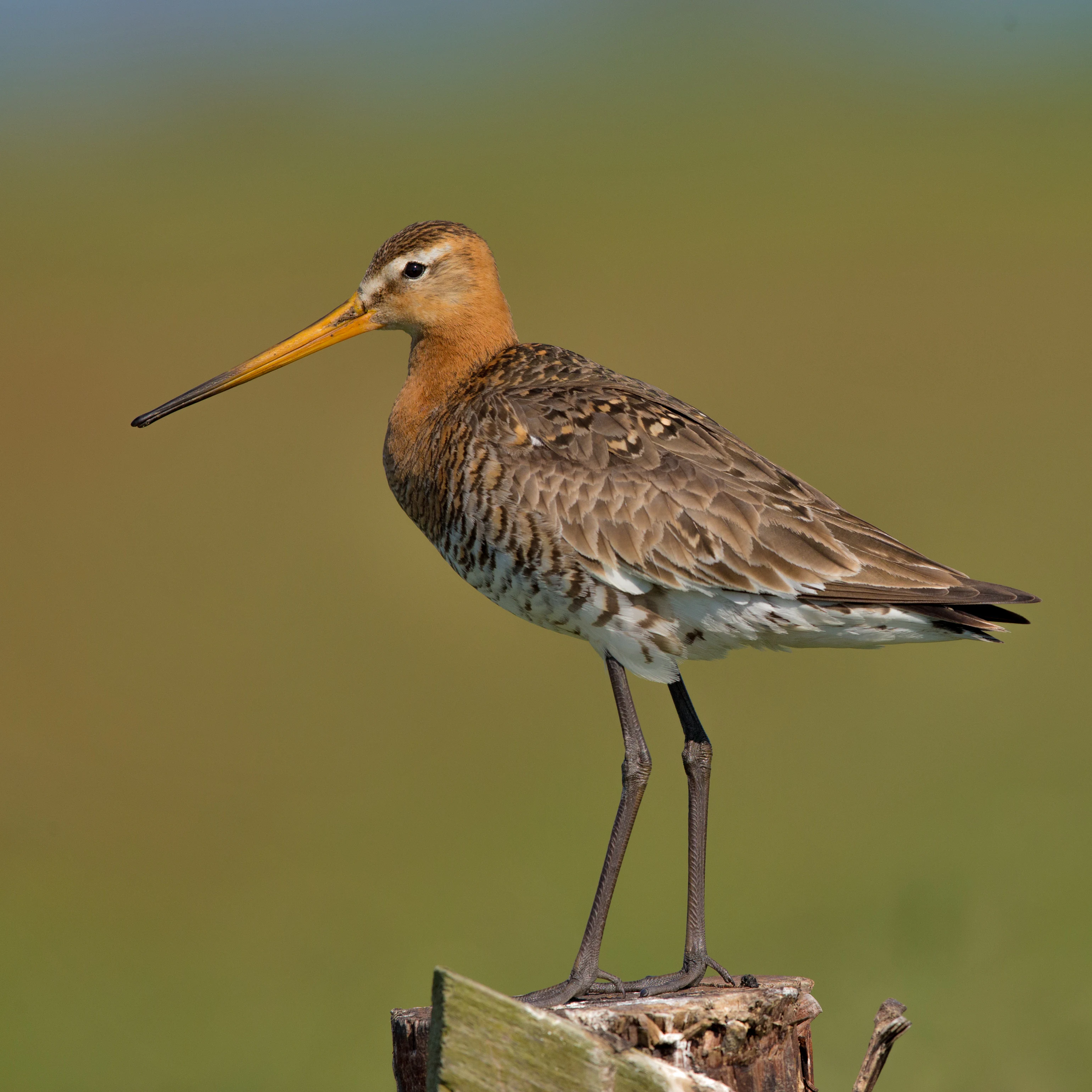
Breeding species of conservation interest span a wide ecological range. Wetland-dependent species such as Marsh Harrier, Water Rail, Spotted Crake, Eurasian Reed Warbler, Common Kingfisher, and Little Grebe use ponds, oxbows, and reedbeds. Open agricultural specialists, including Northern Lapwing, Black-tailed Godwit, Eurasian Curlew, and Common Snipe, depend on the wet meadows and clay-soil pastures. Tree-nesting species such as Common Redstart, Eurasian Golden Oriole, and Black Kite inhabit the floodplain woodlands and old orchard-like landscapes, while riparian specialists like Sand Martin and Common Tern rely on the dynamic riverbanks and gravel pits.
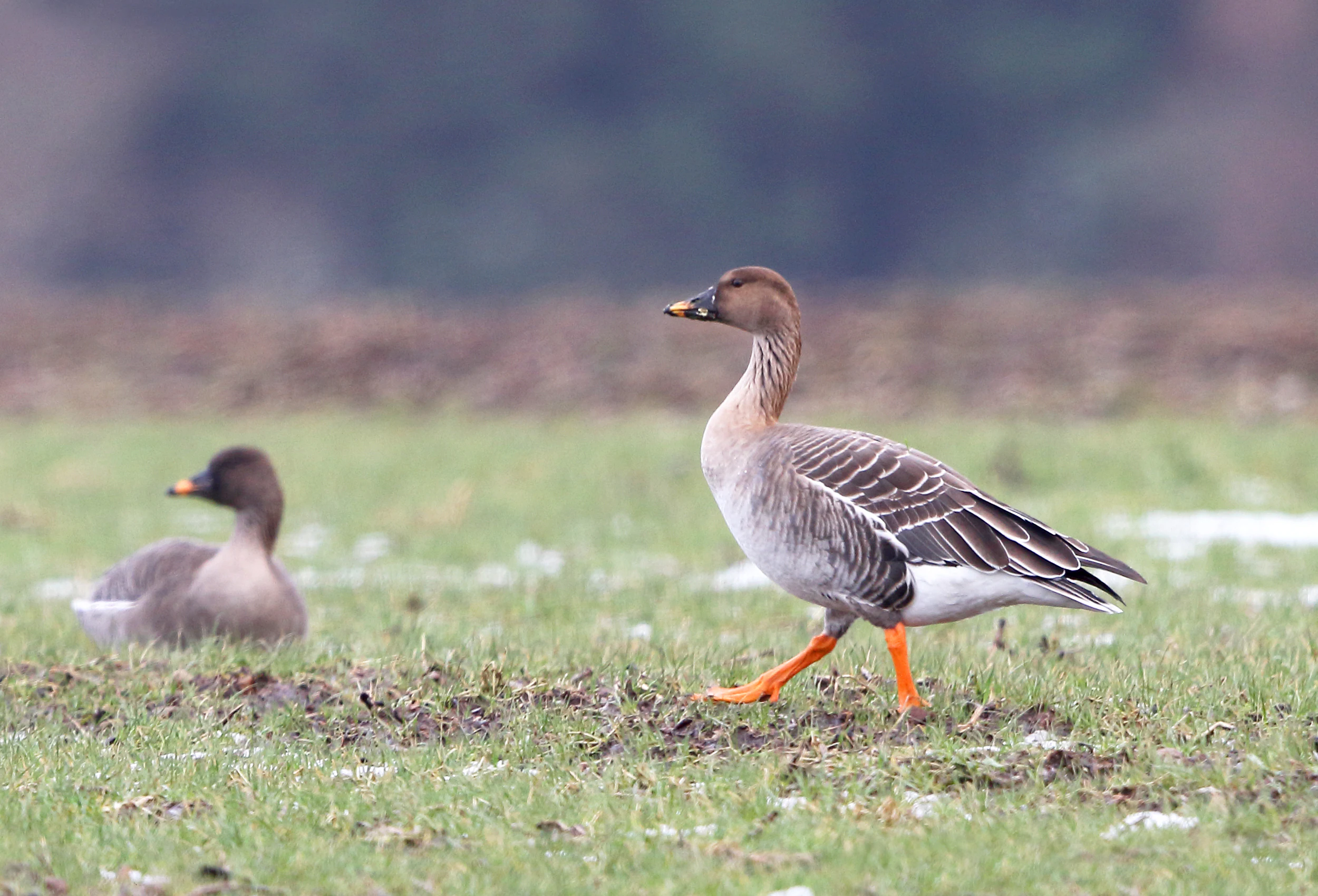
Wintering flocks of geese and swans make the open floodplain meadows especially visible during the colder months, with Bewick's Swan, Whooper Swan, and several goose species drawing on the area's mosaic of stubble fields, wet permanent grassland, and flooded depressions. White-tailed Eagle and Osprey have also been recorded, reflecting the broader significance of the area as hunting and resting habitat.
Unterer Niederrhein conservation status and protection priorities
Unterer Niederrhein is protected primarily because of its exceptional importance for breeding, resting, and wintering bird populations along a major European river corridor. Its central conservation goal is to maintain and improve the breeding and resting conditions of these populations and to avoid land use changes such as sealing of surfaces or habitat fragmentation that would degrade habitat quality.
The area is embedded in a layered conservation framework. National nature reserves such as Rheinaue Walsum, Bislicher Insel, Grietherorter Altrhein, Hübsche Grändort, and the Momm-Niederung protect the most sensitive sub-areas, while an overlapping FFH site at Kalflack extends habitat protection to other species and habitat types. The Nature 2000 designation ties the area into both EU-wide species protection and habitat protection frameworks.
Conservation measures focus on restoring and preserving the natural dynamics of the floodplain. They include the rewetting of meadows, the protection and creation of shallow water bodies, the maintenance of high groundwater levels, careful reed management that retains old reed stands, the extensification of grassland and arable use, and the reduction of disturbances at breeding and resting sites. Coordinated planning seeks to balance the continued agricultural use of the floodplain with the long-term needs of the bird populations that depend on it.
Unterer Niederrhein cultural meaning and human context
Unterer Niederrhein sits within a region where centuries of Rhine management have shaped both the landscape and local identity. The dike forelands, traditional hay meadows, planted willows, pollarded trees, hedgerows, and small-scale agricultural patterns all reflect long-standing human use of the floodplain, in which farming, fishing, and seasonal grazing have coexisted with the river's dynamic behavior.
The river itself has a strong cultural presence. The Lower Rhine has long defined settlement patterns, trade, and land tenure in the border region between Germany and the Netherlands, and the protected area's sub-areas include historically meaningful locations such as the Bislicher Insel and the Reeser Schanz floodplain. These landscape elements give the site a layered identity that combines natural floodplain dynamics with a working agricultural cultural landscape that continues to support rural communities along the Rhine.
Top sights and standout views in Unterer Niederrhein
Unterer Niederrhein stands out as the second largest EU bird protection area in North Rhine-Westphalia, combining eleven separately managed sub-areas into a single Lower Rhine floodplain complex. Its scale makes it one of the key breeding and wintering grounds for waterbirds and geese in western Germany.
The site's most distinctive qualities include its seasonally exposed sand and mud banks, its network of oxbows and former channels, its silver willow floodplain woodlands, and its large areas of wet grassland that support both traditional farming and high-priority bird populations. The connection with national nature reserves and FFH protections along the Rhine gives the area a strong, integrated conservation framework.
The combination of open agricultural landscapes, dynamic river habitats, mature floodplain forests, and wetland edge communities makes Unterer Niederrhein a particularly complete example of a working, ecologically rich Rhine floodplain.
Best time to visit Unterer Niederrhein
Visit timing in the Unterer Niederrhein area is strongly shaped by the seasonal rhythm of the Rhine and the bird calendar. Late autumn through early spring is the period when large numbers of geese and swans arrive to feed on the wet meadows and stubble fields, often producing the most dramatic concentrations of visible birdlife across the open floodplain.
Spring and early summer bring breeding activity for waterbirds and meadow-nesting species, with shorebirds, terns, and ducks using the oxbows, gravel pits, and reedbeds. Late summer exposes the sand and mud banks along the Rhine itself, restoring open pioneer habitats and attracting waders and other shorebirds. Each season offers a different character of the floodplain, from flooded winter meadows to the dry, exposed banks and meadows of late summer.