
Why Vodopády Satiny stands out
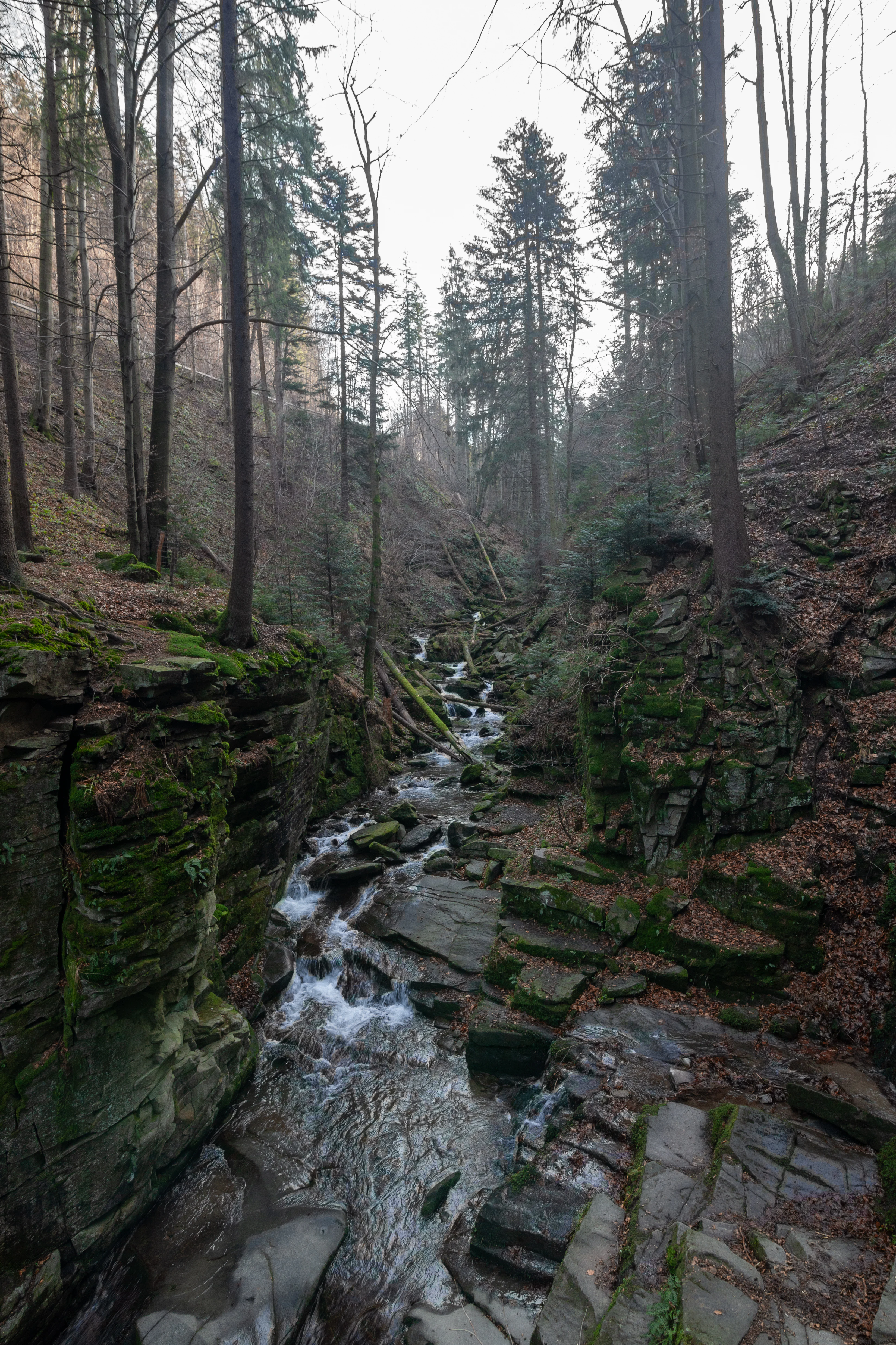
Vodopády Satiny is best known for its long, rocky stream channel and small waterfalls on the Satina brook beneath Lysá hora. Among Czech Carpathian streams, it stands out for the unusually continuous exposure of bedrock along the course, making it one of the longest rock-rimmed channels on the Czech side of the range. The locality is also valued for showing how flysch geology; alternating resistant sandstone and weaker shale beds; shapes the hydrology and scenery of the Beskydy. Where other Beskydy streams flow through soil and forest litter, the Satina here has cut down to clean rock steps, producing a clearly visible miniature gorge flanked by native mountain forest.
Vodopády Satiny history and protected-area timeline
The protected status of Vodopády Satiny is relatively recent. The site was declared a přírodní památka on 30 November 2006 by the administration of the Beskydy Protected Landscape Area, reflecting growing recognition of the geological and geomorphological value of the Satina stream channel within the broader Beskydy landscape.
Before formal protection, the channel had long been part of the local hiking tradition in the Beskydy, used by visitors approaching Lysá hora and the spring at U korýtka. Its elevation to a protected natural monument marked a shift from treating it as a scenic curiosity to recognizing it as a regionally significant example of flysch fluvial geomorphology on the Czech side of the Carpathians. Since then it has remained a small but stable part of the system of protected natural monuments managed within the Beskydy Protected Landscape Area.
Vodopády Satiny landscape and geographic character
The landscape of Vodopády Satiny is defined by the contrast between dense Beskydy forest and exposed rock along the Satina stream. The protected area occupies a section of the mountainside between roughly 495 and 580 meters above sea level, on slopes that fall away from the Lysá hora massif to the south.
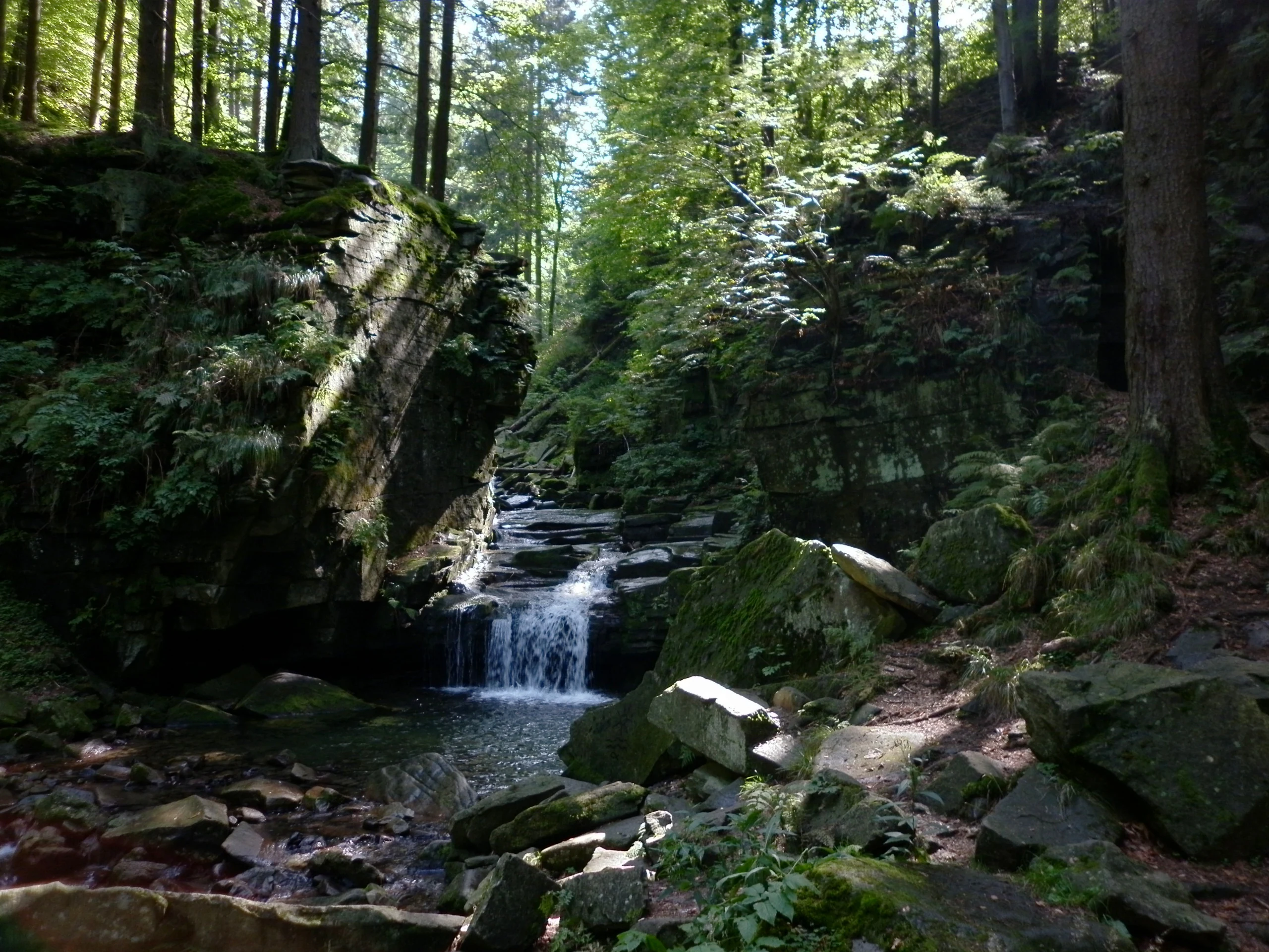
Geologically, the locality lies firmly within the flysch zone of the western Carpathians. The bedrock consists of Cretaceous sandstone interbedded with softer shale layers, and it is the differential erosion of these layers that gives the Satina its distinctive stepped profile. The main waterfall, around 1.7 meters high and set at about 570 meters of elevation, drops almost vertically (with a slope of roughly 80°) onto the rock platform below it, and the channel continues downstream as a series of shallow rock basins separated by low waterfalls.
Over the protection period, the channel has been recognized as one of the longest continuous rock-bed stream courses on the Czech side of the Carpathians. The surrounding terrain is heavily forested, and the transition from closed forest canopy above the channel to open bedrock along the stream creates a strikingly narrow ribbon of rocky terrain amid otherwise continuous woodland.
Vodopády Satiny ecosystems, habitats, and plant life
The ecological value of Vodopády Satiny lies primarily in the intact condition of its stream channel and the surrounding native forest. The Satina flows over durable Cretaceous sandstone, and because the bedrock is locally exposed along much of the course, water quality and bed substrate conditions differ from typical Beskydy streams that run through loose forest soils.
The forest stands bordering the channel form a continuous buffer of mountain woodland. They are part of the larger Beskydy forest complex, with the mix of native tree species and natural regeneration associated with long-established protected landscape status. The closed forest cover helps stabilize the slopes above the stream, which in turn protects the structural integrity of the rock sequence along the channel.
Within the broader flysch Carpathians, the clean rocky bed of the Satina also provides specific habitat conditions for moisture-loving plants and invertebrates adapted to cool, well-oxygenated, splash-zone environments. These microhabitats, while limited in area, are part of the reason the site was given separate protection from the surrounding landscape area.
Vodopády Satiny conservation status and protection priorities
The core conservation purpose of Vodopády Satiny is to preserve an unusually long and well-exposed rock stream channel in the flysch Carpathians. The monument status (IUCN category III) focuses on protecting the geological and geomorphological character of the Satina channel rather than a particular species or habitat type.
Protection of the channel also implicitly safeguards the surrounding forest stands, which control runoff, anchor the slopes, and determine how the rock sequence weathers and erodes. By keeping these slopes forested and limiting disturbance of the streambed, the reserve helps maintain the conditions under which the cascade morphology continues to form and to remain visible.
The site is managed as part of the wider system of small protected natural monuments within the Beskydy Protected Landscape Area. In this arrangement, Vodopády Satiny serves as a focused example of flysch fluvial geomorphology, complementing the broader landscape-level protection of forests, meadows, and mountain hydrology that defines the Beskydy as a whole.
Top sights and standout views in Vodopády Satiny
Vodopády Satiny's standout feature is the unusually long, clearly exposed rock channel of the Satina stream on the slopes below Lysá hora, recognized as one of the longest rock-rimmed stream courses in the Czech Carpathians.
Equally notable is the site's accessibility: as a small monument within a much larger protected landscape, it offers an easily reached geological showcase along popular Beskydy hiking routes, where visitors can move between forest, flysch rock exposures, and the working streambed within a short walk from trailheads near U korýtka.
Best time to visit Vodopády Satiny
Vodopády Satiny can be visited year-round, and each season gives the channel a different character. Spring snowmelt and early summer rainfall bring the highest flow rates on the Satina, making the cascades feel most powerful and the air around the channel noticeably cooler.

Late spring and early summer also bring fresh green foliage along the slopes and full canopy closure above the gorge, which frames the rocky stream channel tightly in vegetation. In winter, freezing temperatures and snow transform the falls and steps of the channel into ice formations, and the darker forest setting gives the locality a quieter, more austere atmosphere. Hikers approaching from the U korýtka junction usually find conditions most comfortable from late spring through autumn, when snow has cleared from the lower trails.