
Mori Atlas logo
Park guides

Essential geographic insights and seasonal planning for this diverse protected area

Expert Guides for Exploring the Volcán Nevado de Colima National Park Landscape

Explore the collection of available guides for Volcán Nevado de Colima National Park, covering key aspects of this high-elevation terrain. Access detailed information on weather dynamics and seasonal cycles to assist in understanding the optimal time for visiting the dormant massif and the active Volcán de Fuego.

Related tags

Volcanic landscapesActive volcanoProtected areaMexico national parksHigh-altitude ecosystems

Mexico's most active volcano protected alongside an ancient volcanic massif in the Sierra de Manantlán

Volcán Nevado de Colima National Park

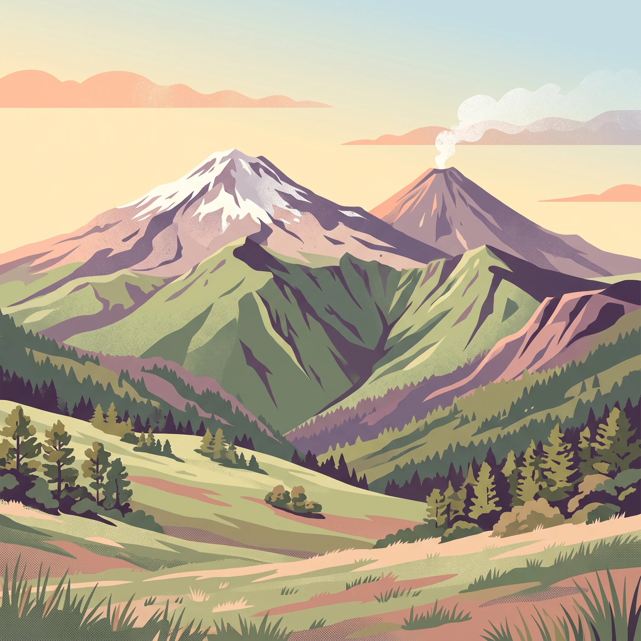
Volcán Nevado de Colima National Park occupies a remarkable position in Mexico's system of protected areas, preserving a volcanic landscape of exceptional geological and ecological significance. The park is located in the southern portion of the Sierra de Manantlán, a mountain range that forms part of the broader Trans-Mexican Volcanic Belt, a arc of volcanic activity that crosses central Mexico. The park's dual peaks represent distinct phases of volcanic evolution: Nevado de Colima is an older, eroded stratovolcano that has been inactive for thousands of years, while Volcán de Colima (Volcán de Fuego) is a younger, highly active cone that has been continuously erupting for centuries and remains the most active volcano in Mexico. The park covers approximately 65 square kilometers of mountainous terrain, with elevations ranging from the park boundary at 3,200 meters up to the summit of Nevado de Colima at 4,330 meters. The landscape is characterized by steep volcanic slopes, deep barrancas (canyons), and rocky terrain composed primarily of volcanic ash, basalt, and andesite. The park lies adjacent to the El Jabalí Flora and Fauna Protection Area to the southwest and is bordered by the Bosque Mesófilo Nevado de Colima State Park in Jalisco, which comprises several enclaves that adjoin the national park on the eastern and western flanks of the two peaks. This configuration creates an extended protected landscape that encompasses the entire volcanic complex.

Location
Mexico
Park type
National park
Established
1936
Area
65.6 km²
Highest point
4,330 m
Volcán Nevado de Colima National Park Atlas
1 guide

Compare available reference materials and targeted seasonal analysis topics

Published Guides and Regional Resources for Volcán Nevado de Colima National Park

Each published guide provides focused editorial coverage for Volcán Nevado de Colima National Park to address specific planning questions. Readers can review the seasonal weather themes regarding dry winter months and humid summer periods to match individual research needs.
MoriAtlas Explorer

Continue Your Atlas Exploration of Volcán Nevado de Colima National Park's Geography

Deepen your understanding of Volcán Nevado de Colima National Park by examining its specific geographic placement and protected landscape features. This section supports structured discovery of the park's mapped boundaries and regional context, enriching your atlas-based knowledge of Mexico's natural protected areas.