
Mori Atlas logo
Nature reserveWacholderheide bei Westernohe

A distinct juniper heath ecosystem maintained through traditional grazing and active habitat management

Wacholderheide bei Westernohe Nature Reserve and Mapped Protected Landscapes in Rheinland-Pfalz

(Naturschutzgebiet Wacholderheide bei Westernohe)

Wacholderheide bei Westernohe is a protected nature reserve in the Westerwald district of Germany, characterized by its open juniper heathland that contrasts sharply with the surrounding coniferous forest mosaic. Established in 1967, the reserve serves as a critical example of cultural landscape management where sheep grazing and mowing preserve rare heath plants against natural shrub encroachment. This geographically significant clearing represents a vital remnant of nutrient-poor upland heath habitats within the broader landscape of Rheinland-Pfalz.

juniper heathheathlandWesterwaldRhineland-Palatinatenature reservesheep grazing
A flat-style digital illustration depicting a river flowing through a deep mountain canyon flanked by pine forests, with sunlight in a clear sky.

Wacholderheide bei Westernohe

Nature reserve

Park overview

Structured park overview, official facts, and landscape profile for Wacholderheide bei Westernohe

Wacholderheide bei Westernohe park facts, protected area profile, and essential visitor context

Review the core facts for Wacholderheide bei Westernohe, including designation, size, terrain, visitor scale, habitats, and operating context in one park-focused overview.

About Wacholderheide bei Westernohe

Wacholderheide bei Westernohe lies in the northeastern part of the local community of Westernohe, in the Verbandsgemeinde Rennerod area of the Westerwaldkreis, Rhineland-Palatinate. Although the reserve is small, only 14 hectares, it represents a landscape type that has become increasingly rare across Central Europe: open juniper heath on nutrient-poor soils where species-rich grasses, herbs, and scattered juniper shrubs coexist.

The site's defining feature is its mix of typical heath grasses and herbs, including mat grass as the dominant species, alongside sweet grasses, heath grass, and cotton grasses. Among the flowering plants, arnica, burnet, common heather, and fingerwort cinquefoil are characteristic of the reserve. Despite the name, juniper itself covers only about half of the designated area, with the rest occupied by other components of the heath community. Surrounding spruce forest frames the open ground and visually isolates the reserve from neighbouring woodland.

Protection was placed on the area in 1967, recognising the value of the open heath community and the threat posed by natural succession. Because juniper heath depends on continued low-intensity land use, the reserve is not a passive wilderness. Sheep are brought in to graze the area twice a year, and the vegetation is regularly mown to suppress bushes and trees. This management preserves the open structure on which the heath flora depends, while supporting a habitat that would otherwise be lost to shading and shrub encroachment.

Quick facts and research context for Wacholderheide bei Westernohe

Wacholderheide bei Westernohe is a 14-hectare nature reserve in the Westerwaldkreis district of Rhineland-Palatinate, Germany, established under protection in 1967. It is classified as an IUCN Category IV habitat and species management area. The reserve consists of open juniper heath surrounded by spruce forest, and it is maintained through sheep grazing twice a year plus regular mowing.

Protection and recognition

Documented protected area designation history and administrative records

Wacholderheide bei Westernohe Protection Status and Registry Data

Wacholderheide bei Westernohe conservation parameters bring together official protected area designation records and registry identifiers. Systematic database entries outline the formal conservation framework governing the protected landscape.

Protection details

WDPA ID
82850
Park context

Deeper park guide and search-rich context for Wacholderheide bei Westernohe

Wacholderheide bei Westernohe history, landscape, wildlife, and travel context

Explore Wacholderheide bei Westernohe through its history, landscape character, ecosystems, wildlife, conservation priorities, cultural context, and seasonal travel timing in a structured park guide built for atlas discovery and search intent.

Why Wacholderheide bei Westernohe stands out

The reserve is best known for its relict juniper heath flora, a traditional open landscape type maintained through active grazing. It is also notable as a small but well-documented example of habitat management in the Westerwald, where open heathland communities have otherwise largely disappeared.
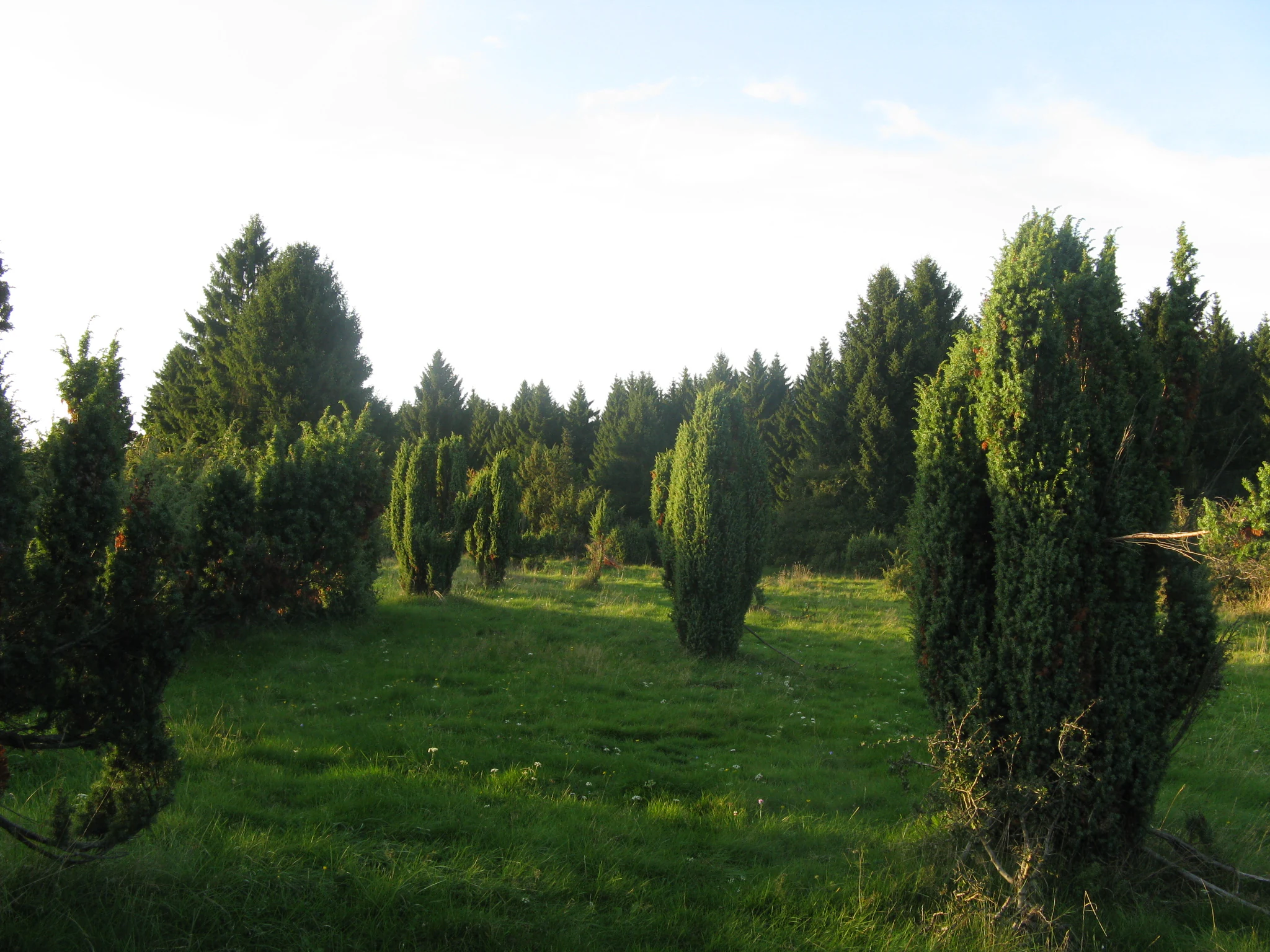
A meadow scattered with upright juniper bushes, backed by a dense conifer forest on a sunny day.
The juniper heath landscape of Wacholderheide bei Westernohe.

Wacholderheide bei Westernohe history and protected-area timeline

The Wacholderheide bei Westernohe has been under nature protection since 1967, when it was formally designated as a nature reserve (Naturschutzgebiet) by the Bezirksregierung Koblenz. The reserve was established to preserve a patch of open juniper heath that had been maintained through traditional land use and was threatened by abandonment and natural overgrowth. The regulatory framework for the site, still in force, explicitly addresses the management of juniper stands in the Westernohe area. Beyond this initial designation, no further historical milestones are documented in the available source.

Wacholderheide bei Westernohe landscape and geographic character

The landscape of the reserve is that of a small, open heath set within a wider forested environment. The ground is gently upland in character, typical of the Westerwald, with nutrient-poor soils that support heath rather than richer woodland.

Visually, the reserve contrasts sharply with its surroundings. Inside the protection area, low juniper shrubs scatter across a ground layer of grasses and herbs, while outside the boundary, dense spruce stands enclose the open space. This edge effect frames the reserve and makes it visible as a distinct clearing in the forest landscape. Although the site is modest in size, the combination of open ground, scattered juniper, and bordering spruce forest gives the heath a clear, characteristic profile.

Wacholderheide bei Westernohe ecosystems, habitats, and plant life

Ecologically, Wacholderheide bei Westernohe belongs to the juniper heath community, an open plant assemblage dominated by tough grasses and adapted herbs rather than by trees or tall shrubs. The dominant grass is mat grass, but the vegetation is enriched by sweet grasses, heath grass, and cotton grasses, all species that thrive in acidic, low-nutrient, sun-exposed conditions.

Among the more conspicuous flowering plants, arnica, burnet, common heather, and fingerwort cinquefoil are characteristic. Common heather especially gives the reserve a recognizable heathland appearance in late summer. The continued presence of these species is entirely dependent on keeping the site open, which is why active management is built into the reserve's identity. The juniper that gives the area its name occurs on roughly half of the designated surface, spreading across the open ground rather than forming a closed canopy.

Wacholderheide bei Westernohe conservation status and protection priorities

The reserve's conservation value lies in its role as a remnant of juniper heath, an open habitat type that has declined sharply across Western Europe as traditional grazing and mowing ceased. By maintaining an open, sun-exposed heath with characteristic grasses and herbs, the reserve protects a regionally rare plant community and the associated open-ground conditions.

Active management is central to this value. Twice-yearly sheep grazing and regular mowing prevent the gradual replacement of the heath community by shrubs and trees, a process known as Verbuschung. The site is classified under IUCN Category IV as a Habitat/Species Management Area, reflecting that its existence depends on ongoing intervention rather than a hands-off approach.

Top sights and standout views in Wacholderheide bei Westernohe

The Wacholderheide bei Westernohe is best understood through its combination of three qualities: a small but ecologically coherent juniper heath, a long-standing protection history dating back to 1967, and active management through grazing and mowing. The reserve is distinctive because its juniper, despite lending the site its name, occupies only part of the area, with grasses, heather, and other heathland plants completing the community.

Monthly climate preview

Long-term monthly temperature averages and precipitation patterns for Wacholderheide bei Westernohe

Wacholderheide bei Westernohe Climate Normals and Temperature Rhythms

Representative coordinate measurements record the long-term annual temperature cycle and monthly precipitation totals for Wacholderheide bei Westernohe from 1991 to 2020. Reviewing the complete twelve-month climate profile reveals precise variations in average minimum and maximum temperatures across the protected landscape.
Annual mean9 °C
0 °C19 °C
Jan
Feb
Mar
Apr
May12°
Jun16°
Jul19°
Aug18°
Sep14°
Oct
Nov
Dec
Warmest month
July

18.5 °C

Coolest month
January

-0.4 °C

Wettest month
December

2.5 mm/day

Driest month
April

1.6 mm/day

Park location guide

Geography guide, regional context, and park location map for Wacholderheide bei Westernohe

Wacholderheide bei Westernohe park geography, regions, and map view in Germany

Understand where Wacholderheide bei Westernohe sits in Germany through a broader geographic reading of the surrounding landscape, nearby location context, and its mapped position within the national park landscape.

How Wacholderheide bei Westernohe fits into Germany

Germany is a federal republic in Western and Central Europe with a population of over 83 million across sixteen constituent states. It is Europe's largest economy by nominal GDP and a major global exporter and importer. The capital is Berlin, and the country borders Denmark, Poland, Czech Republic, Austria, Switzerland, France, Luxembourg, Belgium, and the Netherlands.

Wider geography shaping Wacholderheide bei Westernohe in Germany

Germany is located in Western and Central Europe, spanning 357,022 km². It borders Denmark to the north, Poland and the Czech Republic to the east, Austria and Switzerland to the south, and France, Luxembourg, Belgium, and the Netherlands to the west. The country has coastlines on the Baltic Sea and North Sea to the north, with the Alps located in the southern region.

Map view of Wacholderheide bei Westernohe

Use this park location map to pinpoint Wacholderheide bei Westernohe in Germany, understand its exact geographic position, and read its mapped placement within the surrounding landscape more clearly.

Pigeon | © OpenStreetMap contributors

Location context for Wacholderheide bei Westernohe

Rheinland-Pfalz

Visual reference guide to juniper heath habitats and forest edges

Wacholderheide bei Westernohe Photos, Landscapes, and Protected Scenery

Visual documentation reveals the distinctive terrain and open juniper habitats preserved within the Westerwald region. Photographic records illustrate the stark contrast between protected grassland clearings and surrounding coniferous forest stands.

A meadow scattered with upright juniper bushes, backed by a dense conifer forest on a sunny day.

Park atlas

Discover related nature reserves and regional conservation areas in the Westerwald hills.

Explore Parks Near Wacholderheide bei Westernohe and Surrounding Protected Landscapes

Browse other parks near Wacholderheide bei Westernohe to compare similar heathland reserves and managed open landscapes across the region. Regional park comparison reveals broader ecological patterns and neighboring protected areas within the upland terrain.
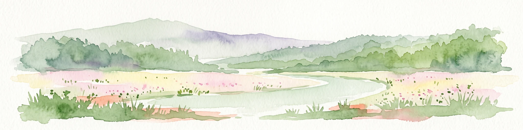
Watercolor painting of a soft, hazy landscape featuring rolling green hills, distant mountains, and water in the foreground.
Nature reserveWesterwaldkreis
About 3.7 km away#1 closest

Northwest

Breitenbachtalsperre Nature Reserve: Geography and Protected Habitat Mapping in Westerwaldkreis

Managed wetland and reservoir landscape in western Germany

Breitenbachtalsperre protects an important reservoir ecosystem, including shallow margins and wet meadows near Waigandshain. This nature reserve provides a focused look at habitat management in the Westerwald, where stream-fed waters sustain diverse plant societies and wildlife in a compact, protected basin.

Area
0.47 km²
Established
1988
IUCN
IV
A horizontal watercolor painting depicting a soft, green landscape with a winding stream through a flowery meadow and forested hills in the background.
Nature reserveHessen
About 4.4 km away#2 closest

Northeast

Die Heck bei Hohenroth Nature Reserve: Hessen Protected Forest and Geography

High-elevation woodland habitats in the Hoher Westerwald

Located in the Lahn-Dill district, Die Heck bei Hohenroth provides a specialized look at Mittelgebirge ecology. The reserve functions as a node within European conservation networks, protecting a mosaic of wet and dry forest patches that support rare lichens, fungi, and native bird populations across its rolling upland terrain.

Area
0.204 km²
Established
1998
IUCN
IV
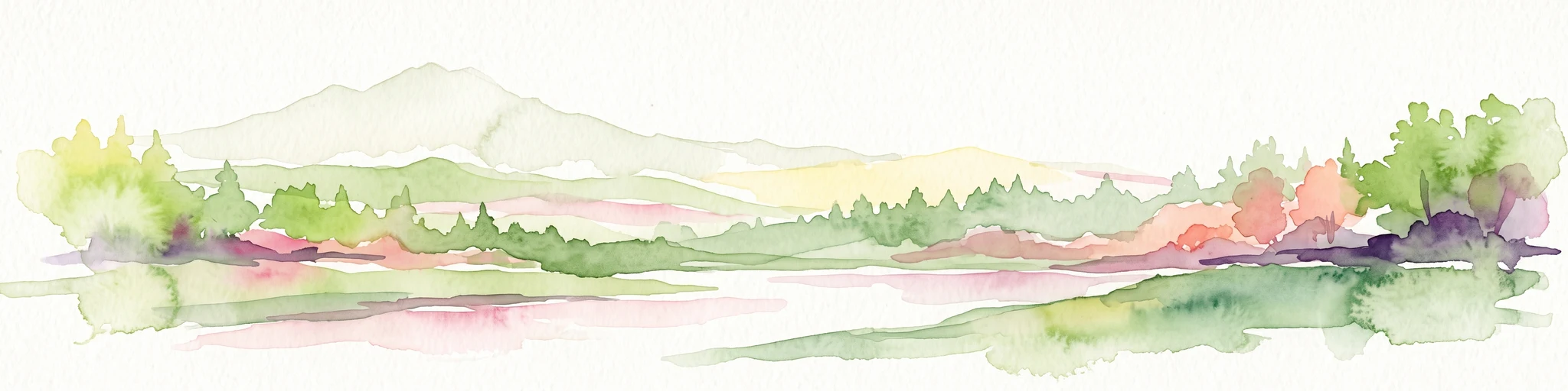
Watercolor painting of a soft, hazy landscape featuring gentle green hills, clusters of trees, and open fields against a white background.
Nature reserveHessen
About 5.7 km away#3 closest

Northeast

Bermershube bei Heisterberg Protected Area: Geography and Landscape Atlas

Nature reserve in the Hoher Westerwald region of Hessen

Located in the Lahn-Dill district, Bermershube bei Heisterberg represents a concentrated mosaic of upland natural features. The protected landscape combines deciduous slope forests with spring-fed wetlands and meadows, creating an essential ecological corridor within the Hoher Westerwald plateau. Detailed geographic insights reveal the interplay between the Amdorf brook drainage and the surrounding undisturbed forest ecosystems.

Area
0.449 km²
Established
1984
IUCN
IV
Relief
Upland
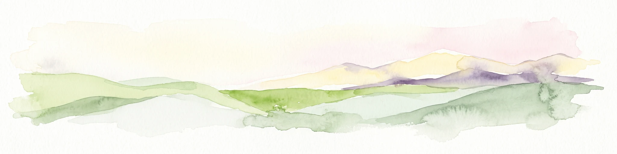
A soft watercolor painting showing green rolling hills in the foreground and faded purple and yellow mountain silhouettes against a white background.
Nature reserveRhineland-Palatinate
About 6.1 km away#4 closest

North

Fuchskaute Nature Reserve: Topographic Atlas and Protected Landscape Overview

Highland basalt summit of the Westerwald range in Rhineland-Palatinate

Fuchskaute represents a primary geographic landmark and nature reserve in the Hoher Westerwald. The site features an ancient, erosion-resistant basalt cap that supports rare upland heaths and species-rich meadows, distinct from the surrounding Devonian sediments. Our atlas data tracks its complex overlapping conservation status and provides a clear view of its summit plateau and surrounding hydrographic networks.

Area
0.402 km²
Established
1984
Relief
Mountain
Climate
Temperate
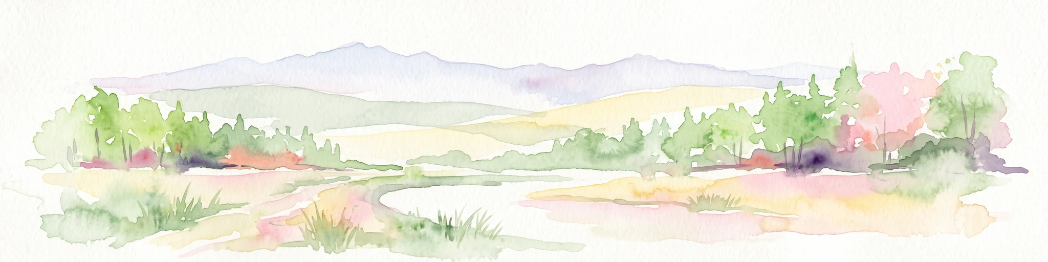
A horizontal watercolor painting depicting a soft, impressionistic landscape with rolling hills in the background and a line of green trees and meadow in the foreground.
Nature reserveHessen
About 6.7 km away#5 closest

North

Feuerheck bei Waldaubach Nature Reserve: Upland Forest and Habitat Geography in Hessen

Protected broadleaf woodland landscapes and high-elevation habitat patterns.

Located in the German central highlands of Hessen, Feuerheck bei Waldaubach stands as a meticulously protected 24-hectare nature reserve. The site features a sophisticated interplay of deciduous woodland and moist meadow clearings, driven by high annual rainfall and varied soil conditions. This atlas entry provides essential data on the reserve's topography, forest management status, and its role as a key habitat for specialized invertebrates and woodland birds.

Area
0.244 km²
Established
1984
IUCN
IV
Watercolor illustration of a winding stream flowing through a lush green valley with rolling hills in the background.
Nature reserveRheinland-Pfalz
About 7.6 km away#6 closest

Southwest

Holzbachdurchbruch: Basalt Gorge and Protected Nature Reserve in the Westerwald Highlands

Geological landscapes and protected stream valleys in Rheinland-Pfalz.

The Holzbachdurchbruch nature reserve is a focused, high-relief landscape defined by its classic breakthrough valley where the Holzbach cuts through resistant basalt bedrock. This protected area offers a look at the volcanic terrain and forest-stream mosaics that define the Westerwald, serving as a landmark site for understanding the regional geography and geological heritage of Germany.

Area
0.21 km²
Established
1961
IUCN
IV
Relief
Upland
A watercolor illustration of a forest edge with trees, mossy rocks, and ferns, featuring a soft, bright, and airy color palette.
Nature reserveHessen
About 8.8 km away#7 closest

North

Rabenscheider Holz Nature Reserve: Protected Landscapes and Stream Valleys in Hessen

Westerwald upland terrain and diverse woodland habitats

Rabenscheider Holz preserves a vital cross-section of Westerwald habitats, integrating mature broadleaf forests and traditionally managed grasslands. This nature reserve serves as an ecological anchor within the Ketzerbach stream valley, maintaining important woodland and meadow biodiversity in the state of Hessen.

Area
0.573 km²
Established
1994
IUCN
IV
A soft, painterly watercolor illustration of a rolling green landscape with a gentle stream or wetland area in the foreground and rounded hills in the background.
Nature reserveHessen
About 10 km away#8 closest

North

Aubachtal bei Rabenscheid Nature Reserve: Mapped Geography and Protected Area Data

A primary stream-valley habitat within the Hessen region

Aubachtal bei Rabenscheid offers a detailed look at a high-quality nature reserve in the Lahn-Dill-Kreis area of Hessen. The landscape is defined by the narrow valley of the Aubach, which supports a complex mosaic of wet meadows, alder swamp woodlands, and sedge mires. This site functions as a significant ecological refuge, contributing to the broader European network of protected areas through its distinct biodiversity and clean-water stream ecosystems.

Area
0.63 km²
Established
1984
IUCN
IV
Relief
Upland

Common questions about visiting, size, designation, and location context for Wacholderheide bei Westernohe

Wacholderheide bei Westernohe FAQs for park facts, access, geography, and protected area context

Find quick answers about Wacholderheide bei Westernohe, including protected-area facts, park geography, trail and visitor context, and how the park fits into its surrounding country and regional landscape.
MoriAtlas Explorer

Continue Your Protected Areas Search Across the Global Atlas

Deepen your exploration by continuing the structured search for national parks and protected areas worldwide. Utilize the comprehensive filtering capabilities to compare different conservation landscapes and refine your understanding of global park geography. Discover more about the distribution and characteristics of protected natural areas.

Global natural geography