Mori Atlas logo
Nearby park discovery

Geographic mapping of surrounding protected areas and regional heathland habitats

Protected Landscapes and Nature Reserves near Wacholderheide bei Westernohe in Rheinland-Pfalz

Examine the geographic distribution of protected sites situated in the immediate vicinity of the Wacholderheide bei Westernohe nature reserve. This regional atlas overview highlights adjacent protected landscapes and conservation areas across the Westerwald, clarifying the spatial context of these managed environments.

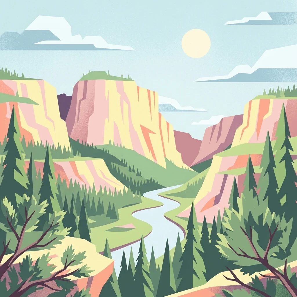
A flat-style digital illustration depicting a river flowing through a deep mountain canyon flanked by pine forests, with sunlight in a clear sky.

A small juniper heath reserve in the Westerwald, protected for its open grassland flora.

Wacholderheide bei Westernohe

Wacholderheide bei Westernohe is a small nature reserve in the Westerwald region of Rhineland-Palatinate, Germany. It protects an area of juniper heath, an open and species-rich landscape type that has become rare in central Europe due to land use change and shrub encroachment. The reserve is best understood as a cultural landscape refined by long-term grazing and mowing rather than a wild, untouched setting. The site covers 14 hectares near the village of Westernohe, in the Westerwaldkreis district. It was placed under protection in 1967 and is still actively maintained: sheep graze the area twice a year and the vegetation is regularly mown to prevent bushes and trees from reclaiming the open ground. This management is essential to keep the juniper heath community intact. The reserve is significant for the conservation of typical heathland plants and grasses, including arnica, burnet, common heather, and various mat and cotton grasses. Although the reserve is named for its juniper, the juniper itself grows on only roughly half of the protected area, with the rest covered by other characteristic heath species. The reserve is framed by coniferous forest, which emphasizes its character as an open landscape mosaic.

Location
Germany
Park type
Nature reserve
Established
1967
Area
0.1 km²
Wacholderheide bei Westernohe Nature Reserve Map
Regional park map

See the ranked park cluster in its geographic setting

Nearby parks around Wacholderheide bei Westernohe

This regional map shows the same 20 nearby parks ranked below around Wacholderheide bei Westernohe. Select a ranked marker to highlight that park’s boundary where boundary data is available.
Reference park: Wacholderheide bei WesternoheRanked nearby park20 nearby parks shown
20 nearby parks

Ranked distance collection for comparing regional park geography and surrounding landscapes

Parks and Protected Areas Geographically Near Wacholderheide bei Westernohe

Geographic distance measurements establish a ranked index of nearby protected areas surrounding Wacholderheide bei Westernohe for structural comparison. Country context and recorded environmental characteristics reveal broader protected landscape patterns across the region without assuming identical habitats.
Watercolor painting of a soft, hazy landscape featuring rolling green hills, distant mountains, and water in the foreground.
Nature reserveWesterwaldkreis
About 3.7 km away#1 closest

Northwest

Breitenbachtalsperre Nature Reserve: Geography and Protected Habitat Mapping in Westerwaldkreis

Managed wetland and reservoir landscape in western Germany

Breitenbachtalsperre protects an important reservoir ecosystem, including shallow margins and wet meadows near Waigandshain. This nature reserve provides a focused look at habitat management in the Westerwald, where stream-fed waters sustain diverse plant societies and wildlife in a compact, protected basin.

Area
0.47 km²
Established
1988
IUCN
IV
A horizontal watercolor painting depicting a soft, green landscape with a winding stream through a flowery meadow and forested hills in the background.
Nature reserveHessen
About 4.4 km away#2 closest

Northeast

Die Heck bei Hohenroth Nature Reserve: Hessen Protected Forest and Geography

High-elevation woodland habitats in the Hoher Westerwald

Located in the Lahn-Dill district, Die Heck bei Hohenroth provides a specialized look at Mittelgebirge ecology. The reserve functions as a node within European conservation networks, protecting a mosaic of wet and dry forest patches that support rare lichens, fungi, and native bird populations across its rolling upland terrain.

Area
0.204 km²
Established
1998
IUCN
IV
Watercolor painting of a soft, hazy landscape featuring gentle green hills, clusters of trees, and open fields against a white background.
Nature reserveHessen
About 5.7 km away#3 closest

Northeast

Bermershube bei Heisterberg Protected Area: Geography and Landscape Atlas

Nature reserve in the Hoher Westerwald region of Hessen

Located in the Lahn-Dill district, Bermershube bei Heisterberg represents a concentrated mosaic of upland natural features. The protected landscape combines deciduous slope forests with spring-fed wetlands and meadows, creating an essential ecological corridor within the Hoher Westerwald plateau. Detailed geographic insights reveal the interplay between the Amdorf brook drainage and the surrounding undisturbed forest ecosystems.

Area
0.449 km²
Established
1984
IUCN
IV
Relief
Upland
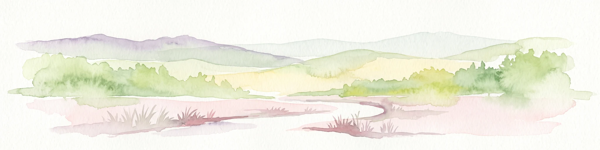
A soft watercolor painting showing green rolling hills in the foreground and faded purple and yellow mountain silhouettes against a white background.
Nature reserveRhineland-Palatinate
About 6.1 km away#4 closest

North

Fuchskaute Nature Reserve: Topographic Atlas and Protected Landscape Overview

Highland basalt summit of the Westerwald range in Rhineland-Palatinate

Fuchskaute represents a primary geographic landmark and nature reserve in the Hoher Westerwald. The site features an ancient, erosion-resistant basalt cap that supports rare upland heaths and species-rich meadows, distinct from the surrounding Devonian sediments. Our atlas data tracks its complex overlapping conservation status and provides a clear view of its summit plateau and surrounding hydrographic networks.

Area
0.402 km²
Established
1984
Relief
Mountain
Climate
Temperate
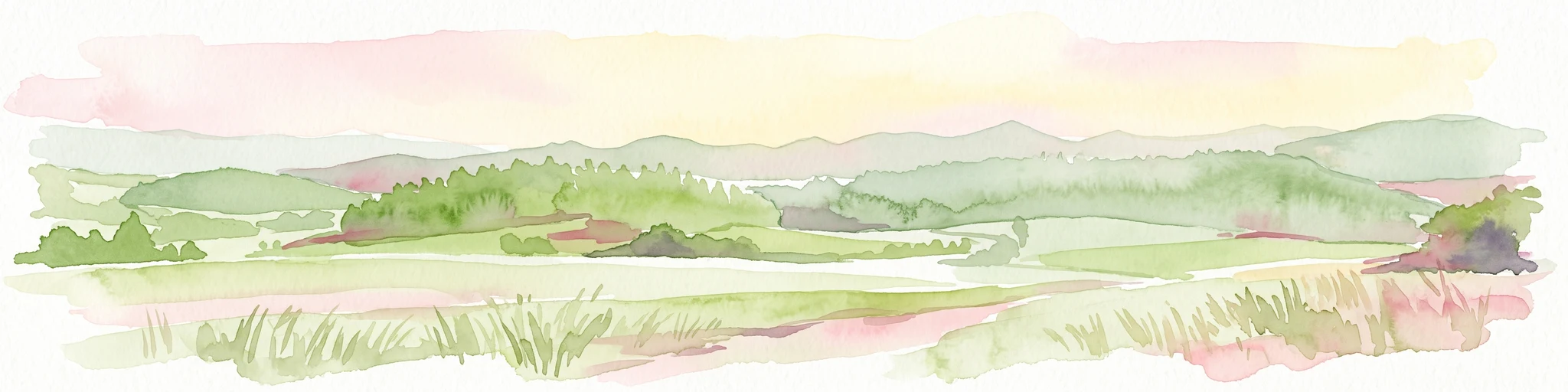
A horizontal watercolor painting depicting a soft, impressionistic landscape with rolling hills in the background and a line of green trees and meadow in the foreground.
Nature reserveHessen
About 6.7 km away#5 closest

North

Feuerheck bei Waldaubach Nature Reserve: Upland Forest and Habitat Geography in Hessen

Protected broadleaf woodland landscapes and high-elevation habitat patterns.

Located in the German central highlands of Hessen, Feuerheck bei Waldaubach stands as a meticulously protected 24-hectare nature reserve. The site features a sophisticated interplay of deciduous woodland and moist meadow clearings, driven by high annual rainfall and varied soil conditions. This atlas entry provides essential data on the reserve's topography, forest management status, and its role as a key habitat for specialized invertebrates and woodland birds.

Area
0.244 km²
Established
1984
IUCN
IV
Watercolor illustration of a winding stream flowing through a lush green valley with rolling hills in the background.
Nature reserveRheinland-Pfalz
About 7.6 km away#6 closest

Southwest

Holzbachdurchbruch: Basalt Gorge and Protected Nature Reserve in the Westerwald Highlands

Geological landscapes and protected stream valleys in Rheinland-Pfalz.

The Holzbachdurchbruch nature reserve is a focused, high-relief landscape defined by its classic breakthrough valley where the Holzbach cuts through resistant basalt bedrock. This protected area offers a look at the volcanic terrain and forest-stream mosaics that define the Westerwald, serving as a landmark site for understanding the regional geography and geological heritage of Germany.

Area
0.21 km²
Established
1961
IUCN
IV
Relief
Upland
A watercolor illustration of a forest edge with trees, mossy rocks, and ferns, featuring a soft, bright, and airy color palette.
Nature reserveHessen
About 8.8 km away#7 closest

North

Rabenscheider Holz Nature Reserve: Protected Landscapes and Stream Valleys in Hessen

Westerwald upland terrain and diverse woodland habitats

Rabenscheider Holz preserves a vital cross-section of Westerwald habitats, integrating mature broadleaf forests and traditionally managed grasslands. This nature reserve serves as an ecological anchor within the Ketzerbach stream valley, maintaining important woodland and meadow biodiversity in the state of Hessen.

Area
0.573 km²
Established
1994
IUCN
IV
A soft, painterly watercolor illustration of a rolling green landscape with a gentle stream or wetland area in the foreground and rounded hills in the background.
Nature reserveHessen
About 10 km away#8 closest

North

Aubachtal bei Rabenscheid Nature Reserve: Mapped Geography and Protected Area Data

A primary stream-valley habitat within the Hessen region

Aubachtal bei Rabenscheid offers a detailed look at a high-quality nature reserve in the Lahn-Dill-Kreis area of Hessen. The landscape is defined by the narrow valley of the Aubach, which supports a complex mosaic of wet meadows, alder swamp woodlands, and sedge mires. This site functions as a significant ecological refuge, contributing to the broader European network of protected areas through its distinct biodiversity and clean-water stream ecosystems.

Area
0.63 km²
Established
1984
IUCN
IV
Relief
Upland
A horizontal watercolor painting depicting a soft, scenic landscape of a park with rolling hills, a central body of water, and surrounding trees.
Nature reserveWesterwaldkreis
About 11 km away#9 closest

Northwest

Bacher Lay Nature Reserve: Basalt Quarry Landscapes in Westerwaldkreis, Germany

Protected landscape with significant geological geotope features

Bacher Lay provides an informative look at a compact nature reserve formed within a former basalt quarry. Featuring the striking Pfaffenmal columnar basalt formation and a mosaic of river valley habitats, the site serves as a vital protected area in the Westerwaldkreis region for studying habitat succession and geological formations.

Area
0.447 km²
Established
1996
IUCN
IV
Relief
Upland
Protected areaNordrhein-Westfalen
About 16 km away#10 closest

North

Wälder und Wiesen bei Burbach und Neunkirchen: Protected Area and Regional Geography

High Westerwald upland forests and mountain meadow mosaic

Situated across the tri-border area of North Rhine-Westphalia, this protected zone sustains a rare habitat combination of beech-dominated slopes and extensive montane grasslands. The basalt-influenced terrain supports specialized bird breeding populations, making the area a distinctive feature within the broader context of the central German uplands.

Area
46.546 km²
Established
2001
Relief
Upland
Climate
Temperate
Nature reserveWesterwaldkreis
About 17 km away#11 closest

West

Wölferlinger Weiher Nature Reserve: Geography and Protected Wetland Boundaries

Historic Westerwaldkreis pond and protected aquatic landscape

Wölferlinger Weiher represents a critical protected wetland within the Westerwaldkreis region of Germany. This detailed record highlights the pond's geographic role within the Westerwälder Seenplatte, covering its marshy fringes, shallow water zones, and surrounding moist meadows that define its protected area status.

Area
0.9 km²
Established
1979
Relief
Lowland
Climate
Temperate
Watercolor painting of a rolling landscape with green hills, a small body of water, and clusters of trees under a soft, pale sky.
Nature reserveHessen
About 19 km away#12 closest

East

Koppe Nature Reserve: Protected Basalt Hill and Geological Landmark in Central Hessen

A defined volcanic cone within the forested Hörre ridge range

Koppe stands as a prominent nature reserve in central Hessen, recognized for its unusual conical shape and exposed columnar basalt formations. This protected site integrates geological interest with varied woodland habitats, ranging from dense summit beech forests to open heath communities of pine and juniper. It remains a focal point for understanding the complex natural terrain and protected landscape transitions found throughout the wider Westerwald-Lahn-Taunus region.

Area
0.234 km²
Established
1931
Relief
Mountain
Climate
Temperate
Nature reserveRheinland-Pfalz
About 20 km away#13 closest

West

Westerwälder Seen: Nature Reserve Geography and Mapped Pond Landscape in Rhineland-Palatinate

Historic reservoir systems, wetland habitats, and upland plateau terrain

Westerwälder Seen is a sprawling nature reserve defined by its system of seven interconnected, man-made ponds and surrounding wetland fringes. Located in the heart of the Westerwald in Rhineland-Palatinate, this site serves as a prime example of historical land management evolving into a vital ecological refuge for waterbirds, amphibians, and diverse brook forest communities.

Area
2.28 km²
Established
1650
Relief
Upland
Climate
Temperate
A soft watercolor painting of a wide, flat landscape with a winding stream and light green hills under a hazy sky.
Nature reserveRhineland-Palatinate
About 20 km away#14 closest

West

Dreifelder Weiher Nature Reserve and Westerwälder Seenplatte Protected Geography

A historic pond ecosystem in the northern Westerwald highlands

Spanning 123 hectares, Dreifelder Weiher serves as a vital nature reserve within the Rhenish Massif. Its shallow basin and seasonal drawdown cycles sustain a diverse landscape of reedbelts and marshes, reflecting the deep integration of German noble history and contemporary habitat protection.

Area
1.23 km²
Established
1668
Relief
Lowland
Climate
Temperate
A horizontal watercolor painting showing a calm lake or pond with grassy banks, small trees, and soft hills in the background.
Protected areaGermany
About 21 km away#15 closest

West

Brinkenweiher Protected Area and Westerwald Lake District Geography

Historic wetland habitat in Rhineland-Palatinate

Brinkenweiher serves as a significant example of a seventeenth-century Waldweiher, shaped by human engineering to dam the Holzbach headwaters. Today, the site functions as a protected nature reserve, offering a varied landscape of shadowed forest fringes, marshy wetlands, and open meadows that support a coherent wetland ecosystem within the broader Westerwälder Seenplatte.

Area
0.21 km²
Established
1660
Relief
Lowland
Scope
Terrestrial
Protected areaNordrhein-Westfalen
About 21 km away#16 closest

North

Wildebach Protected Area: Mapping the Stream Valley Landscape of Nordrhein-Westfalen

Protected natural terrain and creek corridor geography

Wildebach represents a preserved 20-hectare stretch of valley habitat within the Siegerland region. This protected area offers a clear look at a natural stream course and damp meadows set against the backdrop of the Rothaargebirge foothills. Use this atlas resource to trace the park boundaries, stream morphology, and the microtopography that characterizes this segment of the Heller watershed.

Area
28.94 km²
Relief
Upland
Climate
Temperate
Scope
Terrestrial
A soft, light watercolor painting of rolling green hills, scattered trees, and a winding path under a pale, warm sky.
Nature reserveWesterwaldkreis
About 24 km away#17 closest

Southwest

Naturschutzgebiet Malberg: Geography and Protected Phonolite Landscapes in Westerwaldkreis

Geological exploration of a unique volcanic nature reserve

Naturschutzgebiet Malberg provides a focused look at a rare volcanic cupola in Germany. Centered on a 22-million-year-old phonolite summit, the reserve protects a complex environment of blockfields, craggy crevices, and natural rock caves that stand out as a sharp geographic anomaly amidst the gentle lowlands of the Montabaur Basin.

Area
0.96 km²
Established
1971
IUCN
IV
Relief
Mountain
A soft watercolor painting depicting a gentle landscape with rolling hills, meadows, and sparse vegetation, rendered in muted pastel tones.
Nature reserveHessen
About 31 km away#18 closest

East

Brühl von Erda Nature Reserve: Geographic Overview and Mapped Protected Landscapes

A diverse habitat mosaic in the Hessen region

Located in central Hessen, the Brühl von Erda nature reserve comprises 33 hectares of complex terrain including spring hollows, wet meadows, and dry grassland swards. This protected area acts as a focal point for regional conservation, preserving a transition zone between waterlogged fens and drier, thin-soil slopes within the Lahn-Dill-Kreis district.

Area
0.337 km²
Established
1979
IUCN
IV
Relief
Lowland
A watercolor painting showing a soft, pastoral landscape with green trees, rolling hills, and purple-toned wetland areas against a white background.
Nature reserveHessen
About 32 km away#19 closest

Southeast

Egelpfuhl bei Oberwetz Nature Reserve: A Protected Wetland Sanctuary in Hessen, Germany

Geographic overview of a protected wet meadow valley in the Lahn-Dill district.

Egelpfuhl bei Oberwetz occupies a 10.75-hectare valley hollow defined by its moist soils and near-natural brook course. This nature reserve supports a structured habitat for endangered meadow butterflies and birds, acting as an essential ecological bridge within the intensively farmed landscape of central Germany.

Area
0.108 km²
Established
1990
IUCN
IV
A horizontal watercolor painting depicting a soft-focus landscape of low green hills, wooded areas, and open fields under a pale sky.
Protected landscapeHessen
About 35 km away#20 closest

Northeast

Naturpark Lahn-Dill-Bergland: Protected Area Mapping and Geographic Landscape Overview

Regional Mittelgebirge terrain in the heart of Hessen

Naturpark Lahn-Dill-Bergland serves as a core protected landscape in western Hessen, spanning the districts of Marburg-Biedenkopf and Lahn-Dill-Kreis. This atlas entry details the park's topography, including the Bottenhorner Hochflächen and the expansive forest masses of the Schelder Wald, providing a clear geographic context for its layered ridges and scenic river valley systems.

Area
830.9 km²
Established
2007
Relief
Mountain
Climate
Temperate
Distance methodology

Geographic measurements, not driving distances

How nearby park distances are calculated

Distances use park boundaries whenever the available geometry allows it. When one or both boundaries are missing, the mapped park locations provide a clearly labelled estimate. Every value represents straight-line geographic separation and does not use roads or routing.

Boundary distance

Calculated between the nearest points of both park boundaries.

Location-to-boundary estimate

Estimated from one mapped park location to the nearest boundary of the other park.

Mapped-location estimate

Estimated between the mapped locations of both parks.

MoriAtlas Explorer

Examine the Protected Geography of Wacholderheide bei Westernohe Nature Reserve

Trace the boundaries and ecological profile of this preserved juniper heathland on the MoriAtlas map. This entry provides a detailed look at the land management, regional setting, and landscape characteristics of the protected site near Westernohe in Rheinland-Pfalz.