
Mori Atlas logo
Park earthquake history

Review historical seismic event records mapped by distance to the limestone hilltop terrain.

Recorded Earthquake History and Seismic Data Catalogue for Wahrberg Nature Reserve

This catalogue provides a structured overview of seismic activity recorded in the vicinity of Wahrberg in Lower Saxony. Each entry includes event date, magnitude, depth, and calculated epicentre distance to support geographic review of historical ground movement data. All information is derived from historical USGS records associated with the area, providing a factual basis for observing regional patterns of documented seismic events.

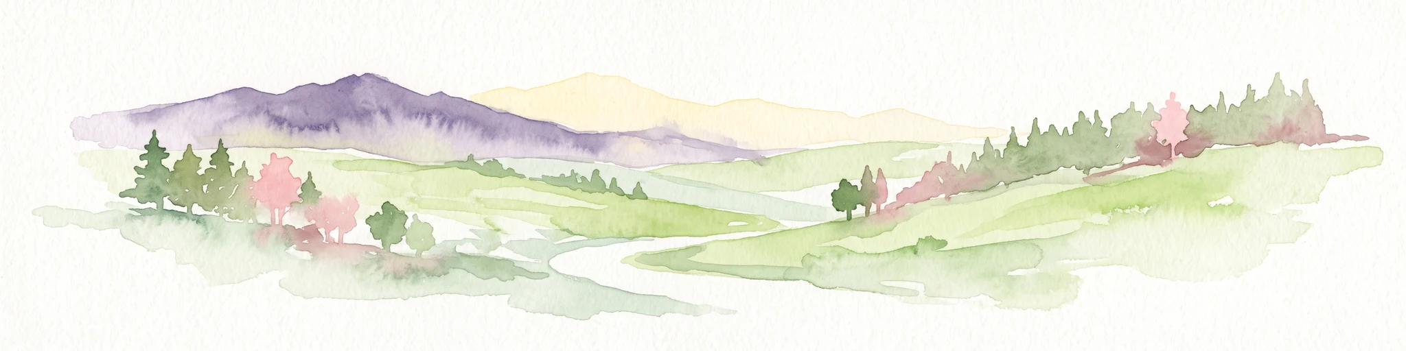
Digital illustration of a rolling rural landscape with fields, scattered trees, and a distant forested hill under a soft light.

A small limestone hilltop reserve in southern Lower Saxony protecting rare calcareous dry grassland

Wahrberg Nature Reserve

Wahrberg is a small nature reserve situated on a hilltop about four kilometers southwest of the town of Northeim in southern Lower Saxony, Germany. Covering around 25 hectares, the protected area is defined by its distinctive limestone geology, which has produced calcareous dry grassland communities of considerable botanical and ecological interest. The reserve lies at the western edge of the Leine valley within the Weser-Leine hill country. Historically shaped by grazing, the open landscape is maintained today through continued sheep and goat pasturing, together with active removal of non-native conifers. Together with adjacent FFH habitat designation, the area functions as an important refuge for warmth-loving plants and animals tied to calcium-rich soils.

Location
Germany
Park type
Nature reserve
Established
1991
Area
0.3 km²
Wahrberg Nature Reserve Map and Geography

Search Wahrberg earthquake events by date and distance

Explore historical earthquake records in the wider Wahrberg area

Wahrberg is the German protected-area anchor for this earthquake search. Each associated record keeps its own time, reported strength, focal depth, epicentral place, source citation, and calculated separation, enabling review without turning proximity into a claim about effects, danger, or future seismicity.

Sort by
Magnitude
Location

This page describes catalogued earthquakes associated with the park by epicentre location and distance. It does not establish causation, assess current danger, or predict future earthquakes.

No earthquake records match the current filters

Park atlas

Continue after Wahrberg earthquake records to new destinations

Discover more parks and protected places beyond Wahrberg

Continue from this Lower Saxon limestone hill and calcareous grassland to other protected destinations selected independently. The links do not imply shared geology, dry-grassland ecology, conservation status, seismic exposure, or documentation.
Nature reserveLower Saxony
About 6.6 km away#1 closest

North

Wasservogelreservat Northeimer Seenplatte Protected Nature Reserve and Wetland Mapping

A floodplain lake mosaic within the Lower Saxony river valley landscape

Wasservogelreservat Northeimer Seenplatte encompasses roughly 80 hectares of protected wetland in Lower Saxony. This nature reserve features a distinct series of gravel-pit lakes framed by agricultural grasslands, serving as a vital sanctuary for migratory and breeding waterbirds. The terrain represents a focused ecological complex positioned within the Leine floodplain, defined by its historical industrial origins and current conservation status.

Area
0.8 km²
Established
1984
IUCN
IV
Relief
Lowland
Nature reserveLower Saxony
About 9.4 km away#2 closest

West

Weper, Gladeberg und Aschenburg Protected Nature Reserve and Hilltop Mosaic

Calcareous grassland and forest network in Lower Saxony

Explore the geographic composition of the Weper, Gladeberg und Aschenburg nature reserve in Lower Saxony. This protected area encompasses a series of hill fragments and slopes characterized by sun-exposed calcareous grasslands and dense deciduous forest stands, providing essential habitat connectivity in the regional uplands.

Area
2.67 km²
Established
2020
Relief
Upland
Scope
Terrestrial
Nature reserveLower Saxony
10 km away#3 closest

West

Wald am Großen Streitrodt bei Delliehausen: Protected Beech Forests of Lower Saxony

Geographic overview of the eastern Solling upland nature reserve

The Wald am Großen Streitrodt bei Delliehausen nature reserve protects a rich, near-natural beech woodland matrix in the eastern Solling. Spanning gentle ridges and slopes, the area features significant deadwood habitats and a distinct southeastern meadow mosaic carved by the Kobbeke headwaters. This record details the park landscape and ecological boundaries within the broader forested context of southern Lower Saxony.

Area
228 km²
Established
2020
Nature reserveLower Saxony
13 km away#4 closest

Northwest

Wälder im Solling bei Lauenberg Nature Reserve: Geographic and Landscape Analysis

Protected oak pasture remnants in the Lower Saxony Solling

Analyze the mapped parcels of Wälder im Solling bei Lauenberg. This protected site integrates old growth oak forest with open meadows and brook corridors, showcasing the unique cultural and ecological legacy of the Solling region in southern Lower Saxony.

Area
3.22 km²
Established
2020
Nature reserveLower Saxony
14 km away#5 closest

West

Wälder im östlichen Solling Nature Reserve: Regional Geography and Forest Landscape

Protected beech woodland in the Lower Saxony eastern Solling range

Wälder im östlichen Solling is a specialized nature reserve in the German state of Lower Saxony, covering a vast landscape of broadleaf high forest and historical wood-pasture. This atlas entry focuses on its mapped terrain, featuring mature beech stands, alder-ash spring forests, and intact stream ecosystems along the Riepenbach and Wolfsbach, providing a clear view of its ecological boundaries.

Area
14.79 km²
Established
2020
Nature reserveLower Saxony
About 18 km away#6 closest

Southwest

Wälder am Schäferstein und am Hohen Rott bei Verliehausen: Protected Nature Reserve Landscape

Ancient woodland geography in the Southern Solling uplands

A significant nature reserve in Lower Saxony, these forest tracts at Schäferstein and Hohen Rott protect near-natural beech and oak stands. The site is characterized by an exceptional density of deadwood and historical relict oak pastures, serving as a vital sanctuary for specialized saproxylic beetles and cavity-nesting birds within the broader Solling ridge system.

Area
1.02 km²
Established
2020
Relief
Mountain
Climate
Temperate
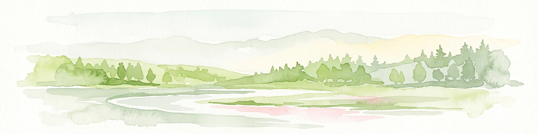
A soft watercolor painting depicting a gentle, winding river flowing through a forested landscape with rolling hills in the background.
Protected landscapeLower Saxony
About 23 km away#7 closest

West

Naturpark Solling-Vogler Protected Landscape: Regional Geography and Mapped Terrain

Extensive forested low-mountain region in Lower Saxony

Naturpark Solling-Vogler acts as a core protected region within the Weserbergland of Lower Saxony. This atlas entry details its dual landscape identity, bridging the wide upland Solling plateau with the sharp, narrow Vogler ridge. Explore the mapped river valleys and woodland habitats that define this important German nature park.

Relief
Mountain
Climate
Temperate
Scope
Terrestrial
Water
Major water bodies
Watercolor illustration of a mountainous landscape with forests and a winding path
National parkLower Saxony
26 km away#8 closest

East

Harz National Park: A Mapped Protected Landscape in Lower Saxony's Mountains

Explore geographic boundaries and regional terrain.

Harz National Park is a protected area defined by its unique mountain landscape and extensive forests in Lower Saxony, Germany. This MoriAtlas entry details its geographic scope, allowing for exploration of its mapped boundaries and its place within the regional geography. Understand the terrain, from its highest peaks to its alpine bogs, offering a structured view of this significant protected landscape for atlas-based discovery.

Area
247 km²
Established
2006
IUCN
II
Visitors
4M annual
MoriAtlas Explorer

Explore the Protected Geography and Map of Wahrberg Nature Reserve

Continue your regional discovery of Lower Saxony by examining the precise boundaries and natural terrain of Wahrberg. This MoriAtlas entry provides structured insights into the calcareous dry grassland ecology and hilltop landscape context of this distinctive German nature reserve.