Why Waimakariri River Regional Park stands out
The park is best known for being one of New Zealand's largest river-based regional parks, following the Waimakariri River across the Canterbury Plains and offering a rare combination of flood-protection forestry, native regeneration and braided-river habitat in a single managed corridor. It is also recognised for its braided-river birdlife, including wrybill, black-fronted tern, black-billed gull and banded dotterel, which breed on the open riverbed within the park. Its mix of recreational opportunities, ranging from mountain biking in McLeans Forest to wetland birdwatching at Te Rauakaaka, gives it a multi-use identity unusual among New Zealand's protected natural areas.
Waimakariri River Regional Park history and protected-area timeline
The Waimakariri River was historically a vast, unconstrained braided river that regularly overflowed its banks and reshaped the surrounding Canterbury Plains. European settlement of the region brought extensive drainage, stopbanks and flood-control works that gradually tamed the river and reduced its natural flooding, but also created a need for ongoing river management and land protection along its length.
Waimakariri River Regional Park was created as a way of bringing together Environment Canterbury's river-protection landholdings along the entire river into a single, formally recognised park. Rather than being established for scenic or wilderness purposes, it emerged from the practical need to manage large blocks of land already owned by the regional council for flood mitigation and riparian protection. Over time these blocks were progressively opened up and adapted for public recreation.
The park's more recent history has included management challenges as well as recreational development. In 2013 the park experienced incidents of dumped rubbish and vandalism, including decapitated dogs in one section and break-in damage at Baynons Brake, prompting increased attention to security and maintenance. Major flooding in June 2021 closed parts of the park and underlined the continuing role of the river-protection land in managing extreme weather events on the Canterbury Plains.
Waimakariri River Regional Park landscape and geographic character
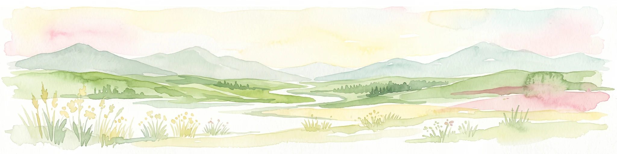
The park's landscape is defined by the Waimakariri River and the flat to gently undulating terrain of the Canterbury Plains. The river itself is a wide, braided system, characterised by shingle beds, shifting channels and gravel islands that change shape after each major flood. Within the park, this active riverbed sits alongside stopbanks, willow-lined banks and engineered flood-management features.
Inland sections such as McLeans Forest and West Melton Forest are dominated by planted exotic conifers, arranged in distinct forestry blocks separated by open grassland. These managed forests contrast with the river corridor, where willows and poplars line the banks and small patches of remnant native vegetation survive on islands and gullies.
Near the coast, the landscape softens into a mosaic of freshwater wetland, active saltmarsh and relict saltmarsh. Areas like Te Rauakaaka, Kaiapoi Island and Templars Island contain open water, reed beds and tidal flats, creating a low-lying, marshy environment markedly different from the drier, forested inland sections. Together these elements give the park an unusually varied topography for what is essentially a long, narrow corridor following a single river.
Waimakariri River Regional Park ecosystems, habitats, and plant life
Ecologically, Waimakariri River Regional Park combines three overlapping habitat types: plantation forest, regenerating native bush, and dynamic riverine and coastal wetlands. This layering reflects its history as land acquired for flood control that has gradually been enriched with native plantings and protected for wildlife.
In the forested inland sections, exotic pine and other plantation species dominate the canopy, but scattered remnant and planted natives add ecological value. West Melton Forest contains surviving kōwhai and kānuka, along with ground orchids such as bird orchids in the damp margins where firefighting waterholes and burrow pits create microhabitats. Baynons Brake, which has been a focus of native regeneration, supports lemonwood, titoki, wineberry, New Zealand fuchsia, five finger and several Coprosma species, providing both structural diversity and food sources for native birds.
The river and its margins form the park's most ecologically distinctive habitat. The braided shingle riverbed is nationally significant for breeding birds, while the freshwater wetlands and saltmarshes near the coast support a separate suite of species adapted to tidal and brackish conditions. Together these habitats give the park a layered ecological identity that bridges plantation forestry, river ecology and estuarine environments.
Waimakariri River Regional Park wildlife and species highlights
Birdlife is the most prominent feature of the park's fauna, particularly along the riverbed and in the wetland sections. The open Waimakariri riverbed within the park provides important breeding habitat for threatened braided-river birds including wrybill (ngutuparore), black-fronted tern (tarapirohe), black-billed gull, white-fronted tern (tara) and banded dotterel. The freshwater wetlands near the coast also support marsh crake (koitareke), which can sometimes be heard calling at night.
In the regenerating native sections, particularly Baynons Brake, the park supports a community of common native forest birds such as fantail (pōwakawaka), bellbird (korimako), grey warbler (riroriro) and kingfisher (kotare), with occasional visits from tomtit (miromiro) and New Zealand pipit (pihoihoi) in spring. The mix of wetland, riverbed and regenerating forest gives birdwatchers a varied list within a relatively compact area.
Mammals and other fauna are less prominent in the park's recorded character, which is strongly shaped by its birdlife and habitat structure rather than by larger animal species. The park's wildlife profile is therefore primarily a story of birds dependent on the braided-river and wetland habitats that the park helps protect.
Waimakariri River Regional Park conservation status and protection priorities
The park's conservation significance lies largely in its role as a refuge for braided-river bird species and coastal wetland habitats within a heavily modified landscape. The Canterbury Plains have been extensively drained and farmed, leaving very little natural habitat for ground-nesting birds such as wrybill and black-fronted tern. By managing large sections of the Waimakariri riverbed as protected land, the park helps maintain some of the remaining breeding sites for these threatened species, even though the surrounding land use is dominated by agriculture and urban development.
Its coastal sections, including Kaiapoi Island and Te Rauakaaka, add a second layer of conservation value through the protection of saltmarsh, relict saltmarsh and freshwater wetland. These habitats are rare on the Canterbury Plains and support specialised plant and bird communities adapted to brackish and tidal conditions. Regeneration efforts in places like Baynons Brake further extend the park's conservation role by restoring native forest cover on land that was previously cleared for farming or flood control.
More broadly, the park demonstrates how land acquired for flood mitigation can be progressively redesigned to deliver biodiversity outcomes alongside its original engineering function. This integration of river management, habitat protection and public recreation is a defining feature of the park's conservation profile.
Waimakariri River Regional Park cultural meaning and human context
The Waimakariri River holds deep significance in the history of Canterbury, both for Māori and for European settlers. The river's traditional Māori name and the presence of named sections such as Te Rauakaaka reflect the indigenous heritage of the river and its environs, while the surrounding plains were central to the agricultural development of Canterbury after European colonisation in the nineteenth century.
The park itself is a product of that settlement history. Its land base was assembled through flood-protection and river-management works that allowed European farming and urban growth to expand across what had previously been a much wilder river landscape. Tensions between those historic land uses and the park's modern conservation and recreational goals occasionally surface in incidents such as vandalism, illegal dumping and disputes over access, which have shaped the park's management approach over time.
Top sights and standout views in Waimakariri River Regional Park
The park's standout feature is its sheer length and continuity along one of New Zealand's major braided rivers, linking inland pine forests with coastal saltmarshes and freshwater wetlands in a single managed corridor.
It is also notable for combining multiple recreational uses, ranging from mountain biking in McLeans Forest to jet boating and whitebaiting at Kaiapoi Island and birdwatching at Te Rauakaaka, within a park that also delivers flood-protection services for the Canterbury Region.
Best time to visit Waimakariri River Regional Park
The park's character changes with the seasons in ways that reflect its riverine setting. Spring is generally the most rewarding time for birdwatching, with tomtit and pipit visiting regenerating areas and braided-river birds actively breeding on the open shingle beds. Summer brings drier conditions that make the inland forest sections more comfortable for cycling, walking and horse riding, and is the main period for swimming, picnicking and water-based recreation near the coast.
Winter and early spring can see parts of the park affected by flooding, which has on occasion forced temporary closures. Visitors interested in stable ground conditions and a broad mix of activities generally find late spring through autumn the most reliable period. Wet weather and flood events can also dramatically reshape the riverbed, which is part of the park's appeal for those interested in braided-river systems.