Mori Atlas logo
Nature reserveWiesenau

Understanding the mapped habitat mosaic and Spree River floodplain environment in Eastern Germany.

Wiesenau Nature Reserve: Protected Floodplain Landscapes and Regional Geography in Brandenburg

(Naturschutzgebiet Wiesenau)

Wiesenau is a protected nature reserve located in the district of Dahme-Spreewald within the German state of Brandenburg. The landscape forms a vital part of the broader Spreewald Biosphere Reserve, characterized by an unusual concentration of oxbow arms, wet meadows, dry grasslands, and mixed woodland types. This compact mosaic of floodplain habitats reflects the historical hydrological processes of the Spree River, offering significant insights into the regional biodiversity of the Brandenburg lowlands.

wetlandfloodplainmeadowoxbowpondgrassland

Wiesenau

Nature reserve

Park overview

Structured park overview, official facts, and landscape profile for Wiesenau Nature Reserve

Wiesenau Nature Reserve park facts, protected area profile, and essential visitor context

Review the core facts for Wiesenau Nature Reserve, including designation, size, terrain, visitor scale, habitats, and operating context in one park-focused overview.

About Wiesenau Nature Reserve

Wiesenau is a small but ecologically rich nature reserve in eastern Brandenburg, located within the broader landscape of the Spreewald, one of Germany's most distinctive floodplain regions. The reserve lies on the eastern side of the town of Lübben, in the district of Dahme-Spreewald, and is fully integrated into the Spreewald Biosphere Reserve, a UNESCO-designated biosphere reserve that protects the ecological and cultural character of the Spree River floodplain.

The defining feature of Wiesenau is the dense ecological mosaic found within its borders. Although the reserve covers only about 135 hectares, it contains an unusually wide range of habitat types. Former park areas have been deliberately left open to natural development, creating successional vegetation alongside more traditional cultural landscapes. Ponds and oxbow arms of the Spree contribute still water and backwater environments, while sedimentation zones along these water bodies support specialized wetland vegetation. Wet meadows, dry grasslands, and various forest types further diversify the habitat structure, allowing species with very different ecological requirements to coexist within a small area.

Hydrologically, the reserve is shaped by the Spree River, which flows through its western portion. To the north, the protected landscape extends into the adjoining Lachsluch II area, while the eastern boundary runs along the L 42 state road. This geography makes the reserve a transitional zone between active river floodplain, more isolated backwaters, and terrestrial woodland communities. Because of this interface character, Wiesenau plays a meaningful role in maintaining habitat connectivity and ecological gradients within the Spreewald.

As a formally designated nature reserve under German conservation law, Wiesenau carries a high level of protection that restricts damaging land use and aims to preserve the integrity of its habitat mosaic. Its placement inside the biosphere reserve adds an additional layer of landscape-scale protection, connecting the site to a wider network of similar protected areas in Dahme-Spreewald district. The result is a reserve that, despite its modest size, contributes meaningfully to regional biodiversity conservation in Brandenburg.

Quick facts and research context for Wiesenau Nature Reserve

Wiesenau is a nature reserve (Naturschutzgebiet) of approximately 135 hectares in Brandenburg, Germany, within the Dahme-Spreewald district and the town of Lübben.

The reserve lies inside the Spreewald Biosphere Reserve and is classified as IUCN Category IV, a habitat and species management area. It was established by legal ordinance on 1 October 1990, with the official designation number 1276, and is recognized under the World Database on Protected Areas entry 166301.

Protection and recognition

Analysis of recorded conservation designations and regulatory frameworks

Wiesenau Protection Status and Documented International Recognition

Wiesenau holds documented status under the Natura 2000 network framework alongside official database identifiers. Records compile verified protection measures and international designations associated with the protected area boundaries.
Park context

Deeper park guide and search-rich context for Wiesenau Nature Reserve

Wiesenau Nature Reserve history, landscape, wildlife, and travel context

Explore Wiesenau Nature Reserve through its history, landscape character, ecosystems, wildlife, conservation priorities, cultural context, and seasonal travel timing in a structured park guide built for atlas discovery and search intent.

Why Wiesenau Nature Reserve stands out

Wiesenau is best known for its compact but unusually varied habitat mosaic, where former parkland, ponds, oxbows, marshy floodplain edges, wet meadows, dry grassland, and multiple woodland types come together in a single protected landscape. This combination of dry and wet, open and forested habitats within the framework of the Spreewald Biosphere Reserve is what gives the site its conservation importance and sets it apart from purely forested or purely wetland reserves in the region.
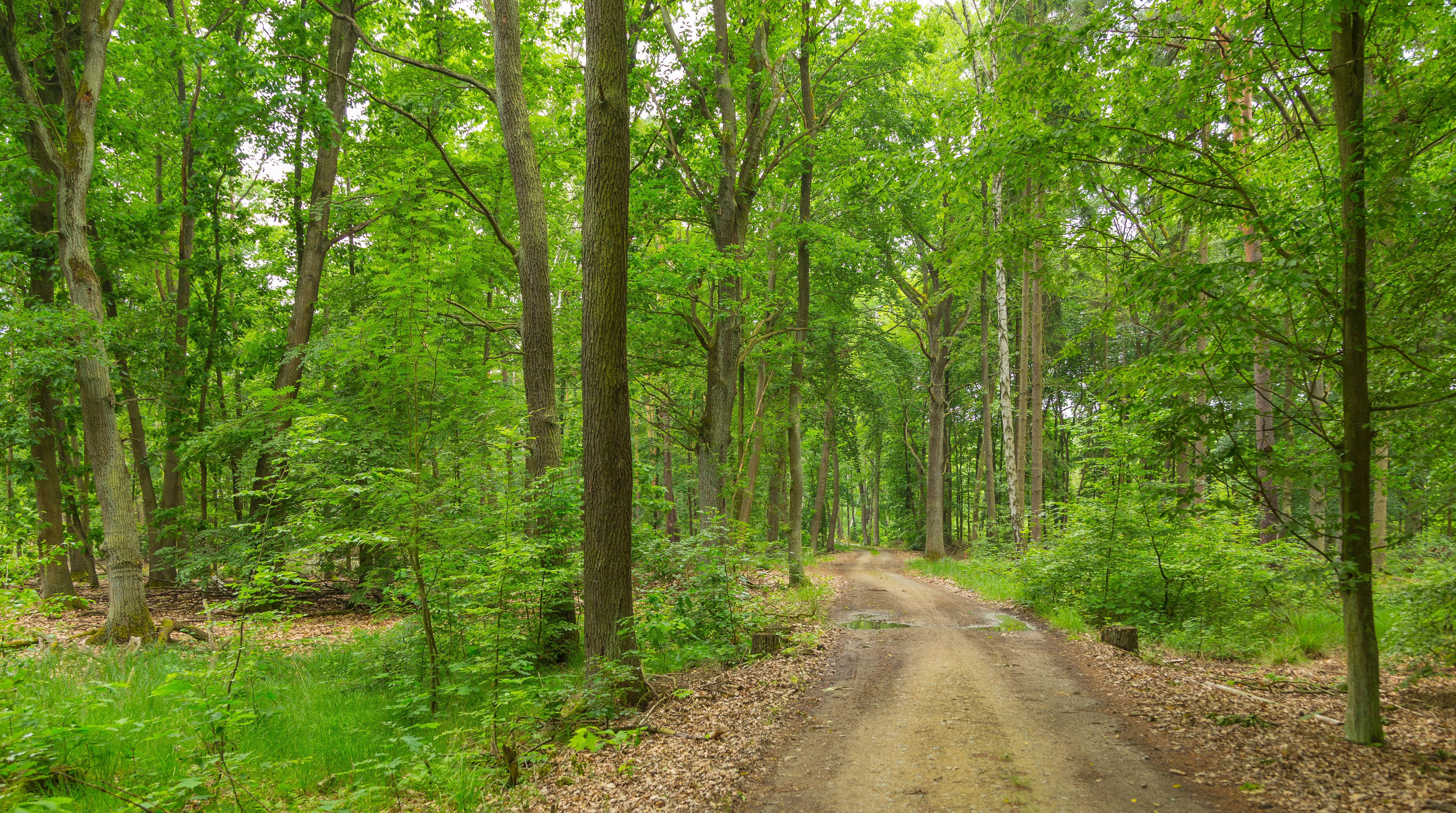
A dirt path leading into a dense deciduous forest with bright green leaves and tall tree trunks.
A peaceful dirt path winding through the lush green forests of Wiesenau Nature Reserve.

Wiesenau Nature Reserve history and protected-area timeline

Wiesenau was formally placed under nature protection on 1 October 1990, an ordinance-based designation that established it as an official nature reserve, or Naturschutzgebiet, under Brandenburg conservation law. The chosen date, just over a year after German reunification, reflects the broader early post-reunification effort in eastern Germany to systematically identify and legally protect ecologically valuable landscapes, including the floodplain systems of the Spreewald.

The site has retained the official identifier 1276 and was designed from the start to function as a long-term protected area, focused on preserving its habitat mosaic rather than on short-term management goals. Its inclusion in the Spreewald Biosphere Reserve further embedded it within a landscape-scale conservation framework that has continued to evolve since the early 1990s.

Wiesenau Nature Reserve landscape and geographic character

The landscape of Wiesenau is shaped by the influence of the Spree River, which flows through the western part of the reserve and contributes significantly to its hydrological character. The terrain is part of the broader Spreewald floodplain system, defined historically by glacial and fluvial processes that left behind a network of channels, meanders, and backwater features.

Within the protected area, the surface geography is highly varied for its size. Still water bodies, including ponds and oxbow arms, are interspersed with sediment-rich transitional zones where water and land meet. Open meadows, both wet and dry, contrast with patches of woodland, while elements of an older parkland landscape contribute a particular open-canopy character in parts of the reserve. To the east, the landscape is bounded by the L 42 state road, and to the north it transitions into the Lachsluch II area, extending the connected floodplain character beyond the formal reserve boundary.

Wiesenau Nature Reserve ecosystems, habitats, and plant life

Ecologically, Wiesenau is defined by its habitat diversity. The reserve contains a tightly packed mosaic of ecosystems: open park-like areas that have been left to develop naturally; ponds and oxbow arms with their characteristic aquatic and semi-aquatic vegetation; sedimentation zones where transitional wetland plant communities thrive; wet meadows tied to the floodplain hydrology; dry grasslands representing the drier end of the ecological gradient; and a range of woodland types that reflect different moisture and soil conditions.

This juxtaposition of dry and wet, open and forested, disturbed and undisturbed habitats within a single protected area gives Wiesenau its particular ecological significance. It supports a varied community of plants and animals tied to different successional stages and moisture regimes, and it functions as a refuge for species that depend on traditional floodplain meadows as well as those associated with more natural successional habitats. The inclusion of former parkland adds an additional ecological layer, since abandoned managed landscapes often develop into distinctive plant communities not found in purely natural or purely agricultural settings.

Wiesenau Nature Reserve wildlife and species highlights

Wiesenau supports the wildlife communities typical of a mixed floodplain and woodland reserve in the Brandenburg lowlands. The ponds, oxbow arms, and wet meadows provide habitat for amphibians, aquatic invertebrates, and wetland-associated birdlife, while the dry grasslands and open park areas offer conditions for insects and birds that prefer warmer, more open terrain. The variety of woodland types present in the reserve supports typical lowland forest bird species and small mammals.

Because the reserve functions as a habitat mosaic rather than a single uniform environment, it is able to sustain a broader range of species than its small size might suggest, and it contributes to ecological connectivity within the larger Spreewald Biosphere Reserve landscape.

Wiesenau Nature Reserve conservation status and protection priorities

Wiesenau holds formal nature reserve status under Brandenburg law and is also part of the Spreewald Biosphere Reserve, giving it both site-level and landscape-level protection. The conservation objective at the reserve scale is to maintain the integrity of the habitat mosaic, ensuring that the interplay between ponds, oxbows, wet meadows, dry grasslands, successional parkland, and woodland remains intact over time.

The biosphere reserve context adds a further conservation dimension, linking Wiesenau to broader efforts to preserve the ecological character of the Spreewald floodplain as a whole. This means that management decisions at the reserve take place within a wider strategy that values habitat connectivity, traditional floodplain dynamics, and the long-term protection of biodiversity in the region. The reserve's small size makes it a complementary rather than standalone component of this larger network, but its habitat diversity gives it a disproportionately high ecological value.

Wiesenau Nature Reserve cultural meaning and human context

The cultural context of Wiesenau is closely tied to the landscape history of the Spreewald, a region long shaped by the interaction between the Spree River floodplain and human settlement. The presence of former park areas within the reserve reflects a tradition of managed parkland in the region, and the meadow and grassland components point to historic land use that combined floodplain agriculture and pasture with natural hydrological dynamics.

As part of the Spreewald Biosphere Reserve, Wiesenau also sits within a region recognized not only for its ecological but also for its cultural landscape value, where traditional forms of land use have contributed to the maintenance of the habitat diversity that the modern conservation framework seeks to protect.

Top sights and standout views in Wiesenau Nature Reserve

The standout qualities of Wiesenau lie in the unusually compact concentration of contrasting habitat types within the reserve: ponds, oxbow arms, sediment zones, wet meadows, dry grasslands, successional parkland, and forest types all coexist in a single protected area.

Equally important is the reserve's position within the Spreewald Biosphere Reserve, which ties its local ecological richness to a much larger and internationally recognized floodplain conservation landscape. The combination of formal nature reserve status and biosphere reserve affiliation gives Wiesenau a stable conservation framework that supports both habitat preservation and landscape connectivity.

Best time to visit Wiesenau Nature Reserve

As a lowland floodplain reserve with a mix of wet meadows, grasslands, ponds, and woodland, Wiesenau is most expressive in late spring and early summer, when meadows are in bloom, water levels are typically stable in the oxbow arms and ponds, and bird activity across the different habitat types is at its peak.

Late summer and early autumn also offer a quieter, drier character, with dry grasslands taking on warmer tones and woodland paths becoming more accessible. Because the reserve is a protected site, visitors should focus on observation from marked paths and respect seasonal sensitivity, particularly during the breeding season in the wetter habitat zones.

Monthly climate preview

Monthly temperature ranges and precipitation rhythm across the park coordinate

Wiesenau Climate Normals and Measured Annual Temperature Patterns

Long-term NASA Power records outline the measured annual temperature swings and precipitation rhythm across Wiesenau at an elevation of 68 meters. Examining the full monthly climate profile reveals detailed temperature averages and precipitation totals for every month of the year.
Annual mean10 °C
-1 °C21 °C
Jan-1°
Feb
Mar
Apr
May14°
Jun18°
Jul21°
Aug20°
Sep15°
Oct
Nov
Dec
Warmest month
July

20.6 °C

Coolest month
January

-0.8 °C

Wettest month
July

2.5 mm/day

Driest month
April

1.1 mm/day

Park location guide

Geography guide, regional context, and park location map for Wiesenau Nature Reserve

Wiesenau Nature Reserve park geography, regions, and map view in Germany

Understand where Wiesenau Nature Reserve sits in Germany through a broader geographic reading of the surrounding landscape, nearby location context, and its mapped position within the national park landscape.

How Wiesenau Nature Reserve fits into Germany

Germany is a federal republic in Western and Central Europe with a population of over 83 million across sixteen constituent states. It is Europe's largest economy by nominal GDP and a major global exporter and importer. The capital is Berlin, and the country borders Denmark, Poland, Czech Republic, Austria, Switzerland, France, Luxembourg, Belgium, and the Netherlands.

Wider geography shaping Wiesenau Nature Reserve in Germany

Germany is located in Western and Central Europe, spanning 357,022 km². It borders Denmark to the north, Poland and the Czech Republic to the east, Austria and Switzerland to the south, and France, Luxembourg, Belgium, and the Netherlands to the west. The country has coastlines on the Baltic Sea and North Sea to the north, with the Alps located in the southern region.

Map view of Wiesenau Nature Reserve

Use this park location map to pinpoint Wiesenau Nature Reserve in Germany, understand its exact geographic position, and read its mapped placement within the surrounding landscape more clearly.

Pigeon | © OpenStreetMap contributors

Location context for Wiesenau Nature Reserve

Brandenburg

Explore detailed imagery of wetlands, floodplain meadows, and diverse lowland habitats.

Wiesenau Photos and Protected Area Landscapes: Visualizing Brandenburg Scenery

Visual documentation captures the varied terrain, open meadows, and oxbow water bodies defining the Wiesenau reserve. Examining field photography helps reveal the unique habitat mosaic and floodplain character protected within the broader Spreewald ecosystem.

A dirt path leading into a dense deciduous forest with bright green leaves and tall tree trunks.

Park atlas

Compare adjacent wetland reserves and regional floodplain ecosystems

Explore Other Parks Near Wiesenau and Connected Protected Landscapes

Browsing nearby protected areas allows researchers to compare the compact habitat mosaic of Wiesenau with surrounding lowland floodplains. Evaluating adjacent reserves reveals broader ecological patterns across regional river networks and protected habitats.
Nature reserveBrandenburg
3.6 km away#1 closest

Northwest

Meiereisee und Kriegbuschwiesen: A Protected Mosaic of Mires, Dunes, and Floodplain Meadows

Geographic analysis of a specialized Brandenburg nature reserve

The Meiereisee und Kriegbuschwiesen nature reserve is defined by its complex geological and ecological layout, spanning four separate zones that range from dystrophic lakes and kettle bogs to dry sand dunes and low-intensity hay meadows. This protected entity provides a critical refuge for wetland species within the larger Spreewald Biosphere Reserve area of Brandenburg.

Area
1.172 km²
Established
2000
Relief
Lowland
Climate
Temperate
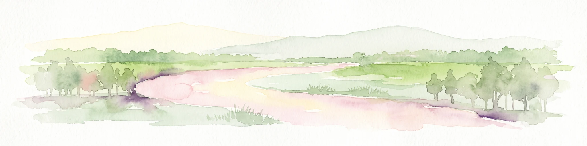
A pale, soft-toned watercolor painting showing a wetlands landscape with rolling green hills, a calm river or stream, and sparse red vegetation in the foreground.
Nature reserveBrandenburg
About 8.2 km away#2 closest

North

Kockot Nature Reserve: Protected Hardwood Forest and Brandenburg Hydrology

A core zone of the Spreewald Biosphere Reserve

Kockot represents an essential piece of Brandenburg lowland geography. This nature reserve protects a water-influenced hardwood forest mosaic on peat and gley soils, offering a focused look at non-intervention forest dynamics within the Spree river floodplain system.

Area
2.868 km²
Established
1990
IUCN
IV
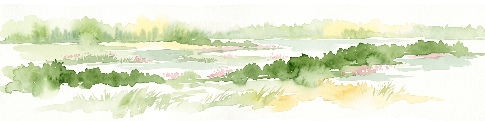
A horizontal watercolor painting showing a soft, impressionistic landscape with a winding stream, surrounding marshy vegetation, trees, and distant rolling hills in pale green and pink tones.
Nature reserveBrandenburg
About 20 km away#3 closest

Southwest

Borcheltsbusch und Brandkieten: Nature Reserve and Protected Landscape in Brandenburg

Wetland and forest mosaic on the Lower Lusatian land ridge.

Borcheltsbusch und Brandkieten is a nature reserve in Brandenburg, preserving critical moorland and forest habitats. Its geography includes the Berste river corridor and a connection to nearby protected forest zones. This site provides a clear view into the region's managed peatland and lowland forest ecosystems and their long-term conservation importance.

Area
1.42 km²
Established
1981
IUCN
IV
Scope
Terrestrial
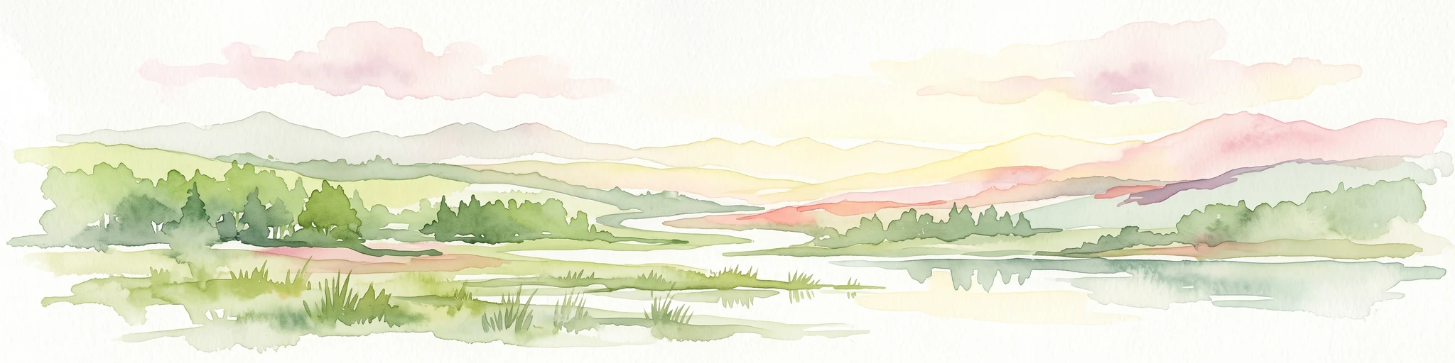
A watercolor painting showing a panoramic view of the Spree River mouth with green trees, reeds, and marshy water areas.
Nature reserveBrandenburg
22 km away#4 closest

Northeast

Alte Spreemündung Nature Reserve: Protected Wetland and River Geography in Brandenburg

A preserved mosaic of river mouths and lake shorelines

Alte Spreemündung serves as a focal point for understanding the transition between the River Spree and the Schwielochsee in Brandenburg. This protected area covers a compact, water-shaped terrain characterized by riparian habitats and ancient river arms. It remains a key site for examining the glacial geomorphology and lowland water dynamics prevalent across northeastern Germany.

Area
1.08 km²
Established
1990
IUCN
IV
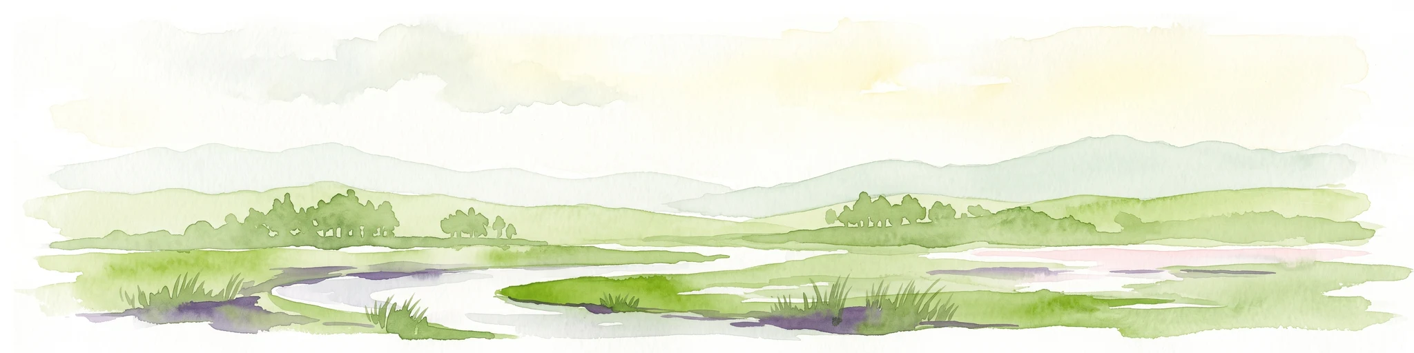
A soft watercolor painting of a wetland featuring grassy foregrounds, a winding stream, distant rolling hills, and a pale sky.
Protected areaBrandenburg
About 22 km away#5 closest

Northeast

Reichardtsluch Protected Area: A Wetland Geography Overview in Brandenburg, Germany

Glacial moraine terrain and seasonal amphibian habitats

Reichardtsluch acts as a vital, two-hectare wetland refuge within the Beeskower Platte region of Brandenburg. This protected landscape is defined by its dramatic seasonal hydrology, alternating between full inundation and dry spells. The site remains a core component of the broader Natura 2000 network, offering insight into postglacial drainage patterns and forest-fringed amphibian breeding ecology in eastern Germany.

Area
0.29 km²
Established
2003
Relief
Lowland
Climate
Temperate
Nature reserveBrandenburg
22 km away#6 closest

Northwest

Stintgraben Nature Reserve: Protected Stream Landscapes in Southern Brandenburg

Ecological connectivity between glacial lakes and river corridors.

Located in the Dahme-Spreewald district, Stintgraben is a protected stream corridor defined by its lowland riparian habitats and position between the Klein Köriser See and the Dahme river. This nature reserve provides essential ecological continuity within the broader Dahme-Heideseen region, offering a clear example of how small-scale protected areas maintain the natural integrity of Germany's glacial lake districts.

Area
1.09 km²
Established
1995
IUCN
IV
Nature reserveBrandenburg
23 km away#7 closest

North

Groß Schauener Seenkette Nature Reserve: Mapped Wetlands and Brandenburg Lake Geography

An undisturbed chain of shallow lakes and protected fen landscapes

This protected nature reserve in Brandenburg preserves a vital chain of six interconnected lakes. The geography is defined by extensive reedbeds, sedge stands, and rare inland saline meadows, providing a crucial habitat mosaic. Learn how these wetlands connect to the surrounding Dahme-Heideseen region through a network of terrain-focused conservation areas and historic trails.

Area
21.249 km²
Established
2000
Relief
Lowland
Climate
Temperate
Protected landscapeBrandenburg
About 23 km away#8 closest

South

Naturpark Niederlausitzer Landrücken: A Protected Landscape in Brandenburg, Germany

Mapped terrain, post-mining wetlands, and glacial moraine features.

Located in the Lower Lusatia region of Brandenburg, Naturpark Niederlausitzer Landrücken showcases a remarkable geological and ecological narrative. The area contrasts traditional farmsteads and the forested Rochauer Heide with a vast, water-filled mosaic of opencast mining pits. This park serves as a primary site for understanding how industrial legacies evolve into significant wildlife habitats and protected natural terrain within the German state.

Area
587 km²
Established
1997
Relief
Upland
Climate
Temperate

Common questions about visiting, size, designation, and location context for Wiesenau Nature Reserve

Wiesenau Nature Reserve FAQs for park facts, access, geography, and protected area context

Find quick answers about Wiesenau Nature Reserve, including protected-area facts, park geography, trail and visitor context, and how the park fits into its surrounding country and regional landscape.
MoriAtlas Explorer

Continue Your Protected Areas Search Across the Global Atlas

Deepen your exploration by continuing the structured search for national parks and protected areas worldwide. Utilize the comprehensive filtering capabilities to compare different conservation landscapes and refine your understanding of global park geography. Discover more about the distribution and characteristics of protected natural areas.

Global natural geography