Mori Atlas logo
Park earthquake history

Reviewing seismic event data, epicentre distances, and magnitudes within the Canadian Rocky Mountain region

Historical Catalogue of Recorded Earthquake Activity Near Yoho National Park

Explore the historical catalogue of seismic events recorded in the vicinity of Yoho National Park. This geographic record presents data on earthquakes identified by their epicentre location relative to the park boundaries, offering insight into the documented seismic history of the surrounding Canadian Rockies terrain. Each entry includes technical details such as magnitude, depth, and distance to assist in localized geographic study.

Related tags

Mountain ParksWaterfallsGlacial LakesWorld Heritage SitesFossil Sites

Dramatic peaks and waterfalls in the Canadian Rockies

Yoho National Park

Yoho National Park is a protected wilderness area in southeastern British Columbia, Canada, situated along the western slope of the Continental Divide within the Canadian Rockies. Established in 1886, it is the smallest of the four contiguous national parks that form the Canadian Rocky Mountain Parks World Heritage Site, covering 1,313 square kilometres of spectacular mountain terrain. The park is renowned for its massive ice fields, towering peaks, and dramatic waterfalls, including Takakkaw Falls, which ranks among the tallest in Canada. The name Yoho derives from the Cree expression "yo-ho!" an exclamation of surprise, chosen in 1901 by Surveyor General Édouard-Gaston Deville. The park's landscape showcases the geological power of the Rockies, with the Kicking Horse River carving a natural bridge through solid rock and numerous glacial-fed lakes dotting the valleys.

Location
Canada
Park type
National park
Established
1886
Area
1,313 km²
Highest point
3,567 m
Yoho National Park Geographic Atlas

Explore Yoho National Park records by date and distance

Study documented earthquake observations near Yoho National Park

Yoho National Park’s earthquake observations are connected through mapped epicentres and measured distance from the park, not presented as events inside its Canadian Rockies boundary. The record time, magnitude, depth, locality, separation, and sources support study without interpreting mountain characteristics as seismic causes, evaluating current hazard, or projecting future activity.

Sort by
Magnitude
Location

This page describes catalogued earthquakes associated with the park by epicentre location and distance. It does not establish causation, assess current danger, or predict future earthquakes.

No earthquake records match the current filters

Park atlas

Continue beyond Yoho National Park earthquake records

Explore other parks and protected areas after Yoho National Park

Following the Yoho National Park earthquake records, explore a stand-alone assortment of parks and protected areas. These recommendations do not signal shared mountain environments, national park status, ecosystems, geology, seismic history, proximity, hazard exposure, risk, or equivalent documentation depth.
National parkCanada
Park boundaries overlap#1 closest

East

Banff National Park: Exploring Canada's Iconic National Park Protected Landscape and Geography

Mapped park boundaries and regional geographic context for Banff National Park.

Gain a structured understanding of Banff National Park as a key protected area within Canada. This resource details its identity as a national park, providing insights into its geographic setting and mapped landscape. It serves as a vital point for atlas-based discovery, helping to contextualize Banff National Park's significance within Canada's protected lands and natural terrain.

Area
6,641 km²
Established
1885
IUCN
II
Visitors
4.1M annual
National parkBritish Columbia
Park boundaries overlap#2 closest

Southeast

Kootenay National Park: National Park Protected Landscape and Geographic Context

Explore Kootenay National Park's mapped terrain and regional geography.

Kootenay National Park is a protected national park located in British Columbia, Canada. This dedicated detail page provides an atlas-style exploration of its geographic identity, focusing on its mapped boundaries and the surrounding natural terrain. Understand how Kootenay National Park fits into the larger regional geography, offering rich context for protected landscape discovery and analysis.

Area
1,406 km²
Established
1920
IUCN
II
Visitors
574.1K annual
National parkColumbia-Shuswap Regional District
31 km away#3 closest

West

Glacier National Park: A National Park within Canada's Protected Landscape Atlas

Explore its mapped boundaries and regional geography.

Glacier National Park represents a significant protected area entity within the broader Canadian geography. This page offers an atlas-oriented perspective on its identity as a national park, focusing on its mapped geographic spread and role as a conservation landscape. Users can explore the park's place within the Columbia-Shuswap Regional District and understand its distinct contribution to the national protected area framework.

Area
1,349 km²
Established
1886
IUCN
II
Visitors
4M annual
National parkAlberta
70 km away#4 closest

Northwest

Jasper National Park National Park: Mapped Protected Landscape and Alberta Geography

Explore Alberta's regional park context and natural terrain.

Jasper National Park is a key protected national park in Alberta, Canada, offering extensive natural landscapes. This park page details its precise geographic location, outlines its protected boundaries, and provides context within the regional geography of Western Canada. Discover the mapped terrain and the park's significance as a protected area within a broader atlas perspective.

Area
10,878 km²
Established
1907
IUCN
II
Visitors
2.4M annual
National parkBritish Columbia
83 km away#5 closest

West

Mount Revelstoke National Park: Explore Protected Landscape Geography and Mapped Boundaries

British Columbia's National Park Atlas Entry

Delve into the protected landscape of Mount Revelstoke National Park, a critical national park located in British Columbia. This entry provides a detailed look at its mapped geographic extent and protected area identity, offering valuable context for regional atlas exploration. Understand the park's distinct contribution to the mapped natural landscapes of Canada.

Area
260 km²
Established
1914
IUCN
II
Visitors
775.2K annual
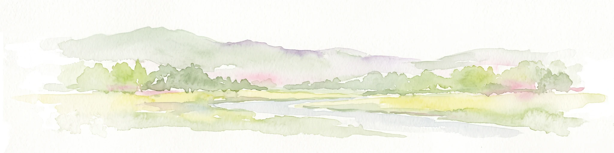
A soft watercolor illustration of a low lying river valley with trees and distant hills against a white background.
Wildlife reserveAlberta
About 161 km away#6 closest

East

Inglewood Migratory Bird Sanctuary: Federal Wildlife Reserve and Riparian Corridor Map

Protected riparian ecosystems along the Bow River in Alberta.

Analyze the geography of the Inglewood Migratory Bird Sanctuary, a federal wildlife reserve in Calgary, Alberta. This site preserves rare cottonwood floodplain forest and river habitats that serve as a critical stopover for migratory birds, offering a unique look at how protected landscapes persist within urban environments.

Area
1.11 km²
Established
1929
Relief
Lowland
Scope
Terrestrial
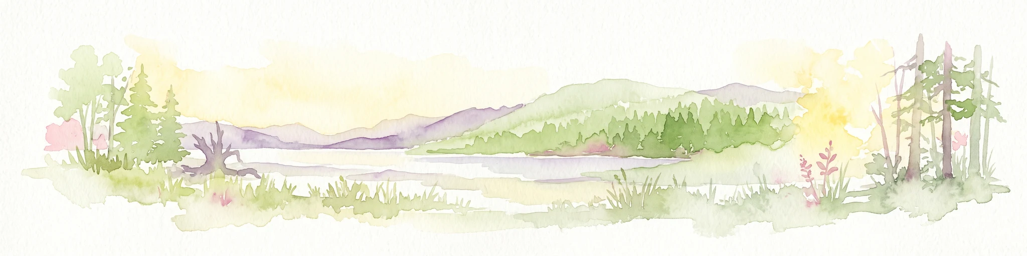
A watercolor painting showing a serene lake view with forested shoreline, grassy foreground, and rolling mountains in the distance, set against a soft, light background.
State or regional parkBritish Columbia
About 174 km away#7 closest

West

Mara Provincial Park: Protected Shoreline and Geographic Features in British Columbia

Mapping the Shuswap region's essential day-use lakeshore environment

Situated on the southern edge of Mara Lake, Mara Provincial Park functions as a key protected site in the Shuswap region of British Columbia. This area provides public access to sandy beaches and serves as the primary boat launch for the surrounding interior lake system, preserving natural terrain against private lakeshore development.

Area
0.05 km²
Established
1958
IUCN
II
Relief
Lowland
State or regional parkBritish Columbia
About 189 km away#8 closest

Northwest

Pyramid Creek Falls Provincial Park: Mapped Geography and Protected Natural Landscape

Glacial cascades and North Thompson River valley terrain

This protected area centers on a vertical, two-stage waterfall spilling from a hanging valley high above the North Thompson River. Characterized by its glacier-fed creek and steep forested slopes, the park functions as a key geological landmark within the rugged, mountainous interior of British Columbia.

MoriAtlas Explorer

Continue Exploring Yoho National Park's Geographic and Protected Landscape Atlas

Dive deeper into the structured geographic data for Yoho National Park, understanding its role as a protected national park within British Columbia. This MoriAtlas resource offers detailed insights into mapped park boundaries, regional terrain, and landscape context essential for a comprehensive atlas-driven discovery of this Canadian protected area.

Global natural geography