Mori Atlas logo
Countries

Navigate regional geographic distributions and mapped forest landscapes through our structured country-wide park database.

Puerto Rico: parks and protected areas

Explore maps and profiles of protected areas in Puerto Rico, including Guánica Dry Forest and Cambalache State Forest.

Related tags

U.S. territoryCaribbean islandcommonwealthtropical destinationarchipelago
Park system

Puerto Rico Park System, Protected Area Profile and System Snapshot

Analysis of known park sizes, historical designations, and ecological habitats across the archipelago

Calculations across current atlas records reveal patterns in protected area coverage, median park size, and regional habitat distributions. Comparing these metrics provides clear context for evaluating conservation boundaries and park classifications throughout the territory.

Known protected area

99.6 km²

Area data available for 7 of 10 parks.

Median park size

9.3 km²

Median across 7 parks with known area.

Oldest known park

Established in 1918.

Largest known park

Recorded area: 40 km².

About

Explore mapped terrain, regional conservation zones, and forest reserves across the archipelago

National Parks and Protected Areas in Puerto Rico: A Comprehensive Park Atlas

Browse protected areas and national parks across Puerto Rico through structured geographic maps and regional distribution records. The territory provides essential context for analyzing tropical forest reserves, mountain ranges, and island conservation corridors.

Puerto Rico is a Caribbean archipelago and island territory of the United States, classified as an unincorporated and organized territory under commonwealth status. Located in the North Atlantic Ocean east of the Dominican Republic, it serves as a significant cultural and economic hub in the region. The territory maintains its own constitution, governor, and legislative assembly while being represented in Congress by a resident commissioner.

Puerto Rico is a Caribbean island territory of the United States, officially known as the Commonwealth of Puerto Rico. Originally colonized by Spain, the island was ceded to the United States in 1898 following the Spanish-American War. Under the Commonwealth system established in 1952, Puerto Rico maintains internal self-governance while remaining under U.S. sovereignty. The territory uses the United States dollar as its currency and participates in U.S. federal programs. The population is predominantly Hispanic, with Spanish and English serving as official languages.

Largest city:San Juan
Currency code:USD
ISO code:PR
Parks count
10
Capital
San Juan
Area
13,792 km²
Population
3,184,195 (2,025)
Elevation
1,338 m

Coastal
Island
Mountainous
Landlocked
Park atlas10 parks

Explore mapped park geography and conservation landscapes across the archipelago

Protected Areas and National Parks in Puerto Rico

Browse state forests, mountain reserves, and coastal protected areas anchored across the Caribbean territory. Regional park lists and mapped terrain provide direct access to detailed conservation profiles.
Watercolor painting of a coastal dry forest scene with mangrove-like trees and hills in the background.
State or regional parkPuerto Rico

Guánica State Forest: Mapped Geography and Protected Landscapes in Puerto Rico

A diverse Caribbean subtropical dry forest reserve spanning karst terrain and coastal habitats

Guánica State Forest serves as a primary protected natural area in southwestern Puerto Rico, defined by its arid subtropical climate and exceptional ecological diversity. This reserve incorporates a complex mosaic of ecosystems, including deciduous dry forest, mangrove channels, salt flats, and offshore keys. The landscape provides critical habitat for numerous endemic species while preserving the integrity of the Southern Karst geological zone and its surrounding maritime boundaries.

Area
39.97 km²
Established
1919
Relief
Lowland
Climate
Tropical
A wide watercolor illustration showing a forest scene with trees in the foreground, a winding path or river, and green hills in the background.
Nature reservePuerto Rico

Cambalache Forest Reserve: A Detailed Look at Northern Puerto Rico Karst Geography

Protected karst landscape and forest mosaic

Focusing on the rugged limestone mogotes that define the Northern Karst Belt, Cambalache Forest Reserve serves as a vital protected area for endemic flora and fauna. This record provides geographic context on its low-elevation forest structure, the ecological significance of its varied microclimates, and its role as a persistent research site since the mid-twentieth century.

Established
1943
Relief
Upland
Access
Easy access
Scope
Terrestrial
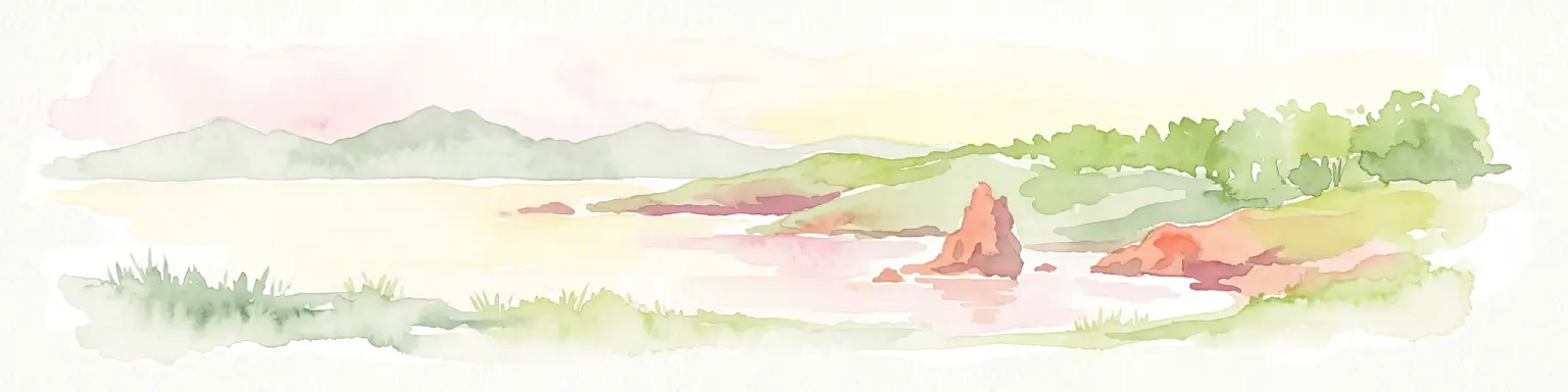
A soft watercolor illustration featuring a coastal scene with a calm bay, rocky outcroppings, green hills in the background, and pale pinkish lighting.
State or regional parkPuerto Rico

Boquerón State Forest: Geographic Overview of Protected Coastal Wetlands in Puerto Rico

Coastal karst geology and mangrove-lined estuarine habitats

Spanning across Cabo Rojo, Lajas, and Mayagüez, Boquerón State Forest forms an essential protected landscape on the southwestern coast of Puerto Rico. The area provides a detailed atlas of ecological convergence, where extensive mangrove systems meet the dramatic limestone cliffs of the Los Morrillos peninsula and historic salt flats. This resource provides a deep look into the spatial distribution of these coastal habitats and their critical function in supporting Caribbean biodiversity and migratory bird flyways.

Established
1918
Relief
Lowland
Climate
Tropical
Access
Easy access
Watercolor painting of a coastal landscape with green hills, wetlands, and distant mountains in a soft palette.
State or regional parkLoíza

Piñones State Forest: Mapped Geography and Protected Coastal Terrain in Loíza, Puerto Rico

Coastal mangrove reserve and protected forestland

Piñones State Forest is a significant protected area on the northern coast of Puerto Rico. This reserve features a low-lying landscape defined by intricate mangrove systems, coastal dunes, and rare endemic plant populations. Its proximity to the San Juan metropolitan area provides an important ecological buffer, offering a unique opportunity to map and study the intersection of Caribbean coastal woodlands and protected natural boundaries.

Relief
Lowland
Climate
Tropical
Access
Easy access
Scope
Terrestrial
A soft watercolor illustration of green hills and foliage against a pale background.
State or regional parkPuerto Rico

Guajataca State Forest: Geography and Protected Karst Landscapes in Puerto Rico

Explore the mogotes and cave systems of this regional forest

Guajataca State Forest protects a significant limestone karst landscape in northwestern Puerto Rico. The area is defined by its conical mogote hills, deep sinkhole drainage, and complex cave networks, including the notable Cueva del Viento. As a key part of the regional forest system, it offers a window into the geological and ecological makeup of the Northern Karst belt.

Area
9.26 km²
Established
1943
Relief
Upland
Climate
Tropical
Watercolor painting of a tropical mountain landscape with lush vegetation and palm trees in the foreground and rolling hills in the background.
State or regional parkPuerto Rico

Carite State Forest: Volcanic Mountain Geography and Protected Watersheds in Puerto Rico

Mapping the Sierra de Cayey ecosystem and river headwaters.

Carite State Forest protects 2,600 hectares of rugged, volcanic mountain landscape in southeastern Puerto Rico. Known for its subtropical moist forest and high-elevation dwarf zones, the terrain provides a critical habitat for rare endemic species. The forest serves as a vital hydrological watershed, sustaining regional river systems through its complex network of ravines and forested mountain slopes.

Area
26 km²
Established
1935
Relief
Mountain
Climate
Tropical
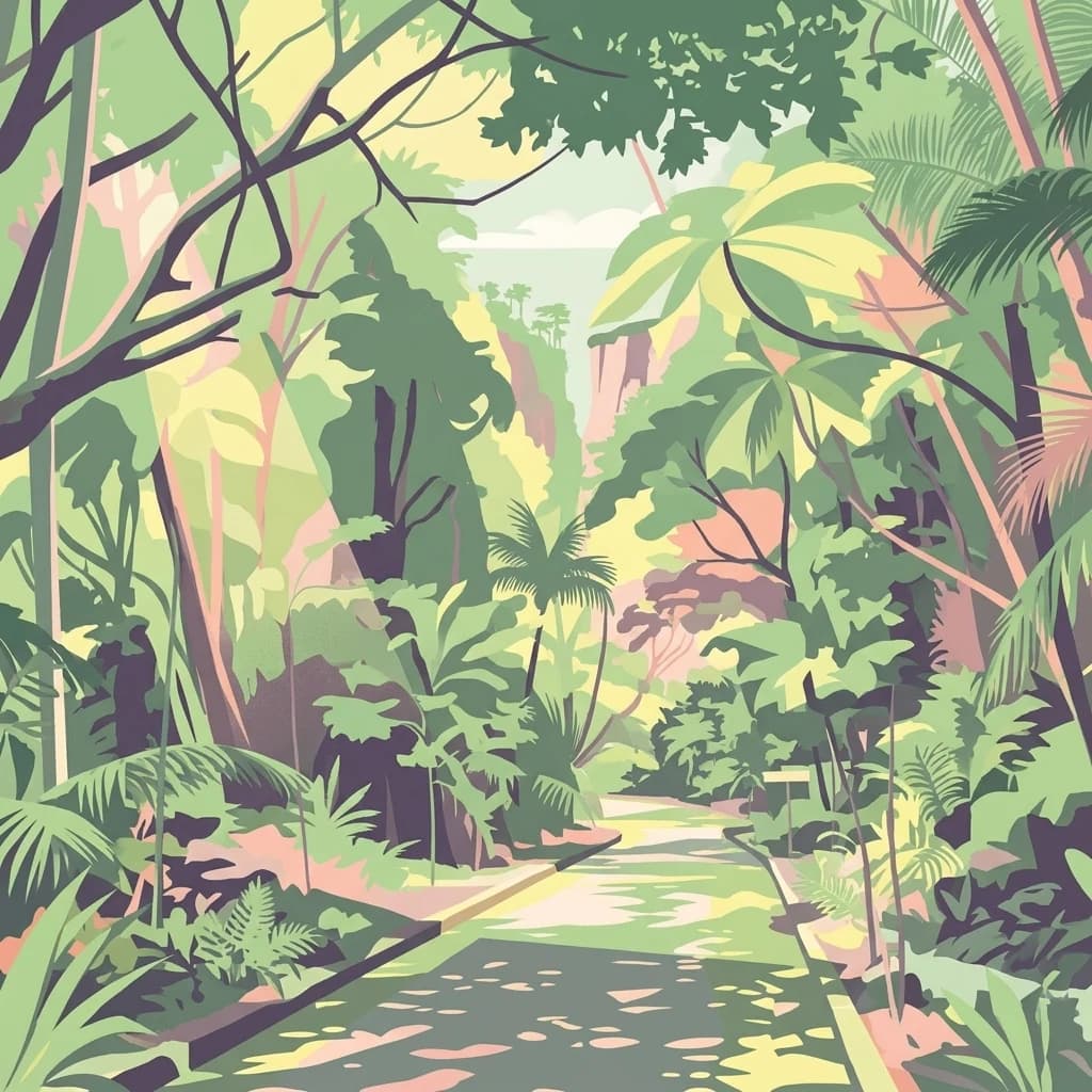
A stylized digital illustration showing a walking trail disappearing into a lush tropical forest in Puerto Rico with palm trees, ferns, and soft natural lighting.
State or regional parkPuerto Rico

Guilarte State Forest: Protected Mountain Ecosystems and Cordillera Central Geography

Highland conservation and mapped mountain terrain in central Puerto Rico

Guilarte State Forest represents a essential protected area in the Cordillera Central of Puerto Rico. The reserve encompasses steep altitudinal shifts, ranging from mid-slope palm forests to summit-level cloud forests. As a headwater region for major river basins, the forest is a focal point for understanding the island's mountainous geography and conservation priorities for endemic species.

Area
19.514 km²
Established
1935
Relief
Mountain
Climate
Tropical
State or regional parkSan Juan

San Patricio State Forest: Protected Urban Karst and Mogote Terrain in San Juan

Mapping subtropical moist forest geography in Puerto Rico

San Patricio State Forest represents a unique conservation success as a reclaimed secondary forest within the San Juan metropolitan region. This protected area maintains the distinctive karst geology of Puerto Rico, featuring a prominent mogote landmark that provides habitat for endemic species and native plant communities amidst an urban environment.

Area
0.283 km²
Established
2000
Relief
Upland
Climate
Tropical
State or regional parkSan Juan

Nuevo Milenio State Forest: Protected Urban Woodland and Ecological Corridor in San Juan

A resilient secondary forest remnant serving the San Juan Bay estuary watershed.

Nuevo Milenio State Forest acts as a rare pocket of regenerating subtropical moist woodland within the dense urban fabric of San Juan. Its existence provides a stable habitat corridor and serves as a natural defense for the regional watershed, offering a unique opportunity to map and study urban-adjacent forest preservation in Puerto Rico.

Area
1.58 km²
Established
1998
Relief
Lowland
Climate
Tropical
Protected areaAdjuntas

Bosque del Pueblo: Protected Forest Geography and Cordillera Central Landscape

A mountain watershed and ecological corridor in Adjuntas

Bosque del Pueblo represents a key protected landscape within the central mountains of Puerto Rico. As a critical forest reserve located in Adjuntas, it preserves headwaters and supports rare bird populations, serving as a permanent ecological link between several major state forest units.

Area
2.987 km²
Established
1995
Relief
Mountain
Climate
Tropical
Landscape and environment

Understand how Puerto Rico is shaped by terrain, ecosystems, and seasonal conditions

Puerto Rico geography, nature, climate, and landscape context for park-focused travel research

Explore the physical geography, natural setting, and climate patterns of Puerto Rico through a location-first overview built for travel research, national park discovery, and broader regional context. This section helps explain how landscapes, habitats, and environmental conditions shape what people search for, where they travel, and how they experience protected areas in Puerto Rico.

Puerto Rico geography and landscape

Puerto Rico is a Caribbean island archipelago located in the North Atlantic Ocean, approximately 1,600 kilometers southeast of Florida. The main island spans about 177 kilometers in length and 65 kilometers in width, with a total land area of approximately 8,868 km². The terrain ranges from coastal plains to mountainous interior regions, with the highest point at Cerro Punta reaching 1,338 meters. The island is bordered by the Atlantic Ocean and Caribbean Sea.

Puerto Rico nature and environment

Puerto Rico features diverse ecosystems including tropical rainforests, coastal mangroves, and coral reefs. The El Yunque National Forest represents the only tropical rainforest in the U.S. National Forest System. The island's coastline includes beaches, cliffs, and natural reserves supporting various wildlife species. Marine environments around the archipelago support significant biodiversity.

Puerto Rico climate and seasonal conditions

Puerto Rico experiences a tropical climate with consistently warm temperatures year-round. The island receives significant rainfall, particularly in the mountain regions, with a wet season from May to November. Coastal areas tend to be drier while interior mountainous areas receive more precipitation. The territory is occasionally affected by hurricanes during the Atlantic hurricane season.

Explore this place

Related topics and popular queries

Ways to explore Puerto Rico

Useful phrases, related topics, and discovery prompts connected to Puerto Rico.
what is Puerto RicoPuerto Rico U.S. territory statusCaribbean island Puerto Rico geographyPuerto Rico population and capitalPuerto Rico official languages currencyPuerto Rico territoryCaribbean U.S. territoryCommonwealth of Puerto RicoPuerto Rico islandBorinquenLa Isla del EncantoPuerto Rico CaribbeanU.S. commonwealth
Park map

Trace park distribution across mountain forests, state forests, and Caribbean terrain

Puerto Rico National Parks Map and Protected Areas Geography Preview

Preview mapped park locations across Puerto Rico to understand how protected forests and ecological corridors span the territory. Open the complete interactive map to examine regional boundaries and geographic coordinates in detail.

Common questions regarding Caribbean island park geography and conservation landscapes

Puerto Rico National Parks and Protected Areas FAQ

Understanding national parks and protected areas in Puerto Rico requires examining regional park geography, watershed protection zones, and forest reserves across the archipelago. These frequently asked questions clarify the spatial distribution and conservation context of protected landscapes throughout the territory.
Other countries

Compare Caribbean and regional park geographies across the international protected lands directory.

Explore Other Countries with Protected Areas and National Parks Near Puerto Rico

Browse neighbouring island territories and continental nations to examine diverse tropical forest reserves and coastal conservation zones. Expanding the geographic scope allows researchers to trace broader ecological corridors and regional protected landscapes beyond Puerto Rico.

Dominican Republic: parks and protected areas

Parks and protected areas in Dominican Republic, including Jaragua and Los Haitises.

11 parks

Antigua and Barbuda: parks and protected areas

Parks and protected areas in Antigua and Barbuda, including Nelson's Dockyard and Green Castle Hill.

3 parks

Curaçao: parks and protected areas

Parks and protected areas in Curaçao, including Christoffelpark.

1 park

Protected area types

Examine the Protected Area Categories and Land Designations of Puerto Rico

Understand the organizational structure of protected landscapes across Puerto Rico by browsing through official designation categories. This MoriAtlas utility helps you navigate the geography of the islands through a focused, classification-led perspective that highlights how specific land types are defined and managed.

Puerto Rico Protected Area Designations
MoriAtlas Explorer

National parks and protected areas worldwide

Find a park and explore its geography, habitats, and monthly climate.

Global natural geography