
Mori Atlas logo
Country designation

Mapping regional biodiversity hubs and essential protected terrain across the country.

Comprehensive Atlas of Protected Area Landscapes and Conservation Sites in Sierra Leone

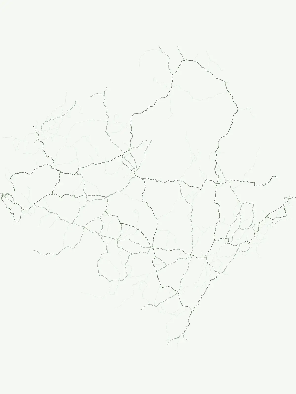
Browse the geographic distribution of protected area sites within Sierra Leone. This indexed resource provides a clear view of natural lands that serve as critical conservation zones, capturing a variety of terrains from coastal wetlands to inland habitats. Gain a deeper understanding of the country's protected geography through our mapped record of these vital environmental areas.

Comprehensive Atlas of Protected Area Landscapes and Conservation Sites in Sierra Leone

Navigating the broader protected natural areas and unique wetland reserves across Sierra Leone.

Protected Area in Sierra Leone: Exploring Flexible Conservation Sites

General protected areas in Sierra Leone encompass vital wetland habitats and river islands that fall outside standard park classifications. Examining these flexible conservation sites helps map the diverse regional geography and ecological networks across the country.

Protected area
Mapped park1
Share of country parks20%
Largest mapped parkFoge Islands42.287 km²
Oldest mapped parkFoge Islands2,008
Parks in this designationBrowse verified conservation sites and localized protected natural areas across Sierra Leone.1
See all parks

Protected Area Index and Mapped Park List for Sierra Leone

Explore the complete inventory of protected areas in Sierra Leone, featuring specialized wetland habitats and river island sanctuaries. Analyze regional conservation geography through filtered park listings and structured natural feature records.

Protected areaSierra Leone

Foge Islands

Key protected area in Sierra Leone

The Foge Islands function as a vital protected area characterized by dynamic wetland landscapes and shifting fluvial boundaries. This resource provides a focused geographic overview of the island terrain, detailing the environmental features and regional placement within the wider Sierra Leone landscape. Understand the physical composition and ecological importance of this unique protected site through detailed map-driven analysis.

42.287 km²2008TropicalWater-dominated
More designation routesCompare Sierra Leone conservation categories and national park systems1

Other Park Designations and Protected Area Types in Sierra Leone

Compare adjacent conservation categories to understand the full spectrum of Sierra Leone protected areas. Evaluating national parks alongside general reserves reveals how different legal frameworks shape local conservation landscapes.

Explore Sierra Leone's national park geography and protected areas.

National park

80%

This route provides a detailed atlas view of Sierra Leone's national parks. It focuses on the geographic context, mapped park boundaries, and the significance of these protected landscapes. Understand how each national park contributes to the country's overall protected area identity and discover their place within the broader West African natural landscape.

Share of country parks80%
4Mapped parksSierra Leone National Park Atlas
Sierra Leone National Park Atlas
MoriAtlas Explorer

Continue Exploring Sierra Leone's Protected Areas and Park Geography

Deepen your understanding of Sierra Leone's natural heritage by continuing your exploration of its national parks and protected landscapes. This pathway offers a structured approach to comparing the mapped geography and regional distribution of conservation areas, empowering detailed atlas-driven discovery across the nation's diverse terrain and protected lands.

Global natural geography