
A comprehensive index of geographic landmarks, terrain types, and mapped environmental features
Named Natural Features and Protected Landscapes Found Across the South Korea National Park System
This collection presents an overview of named natural features distributed within the protected areas of South Korea. Users can examine the relationship between specific landscape types and their associated park boundaries to understand the broader regional geography. The database catalogs various geological and hydrological formations, providing a clear map-oriented perspective on the diverse natural terrain defining the Korean Peninsula.
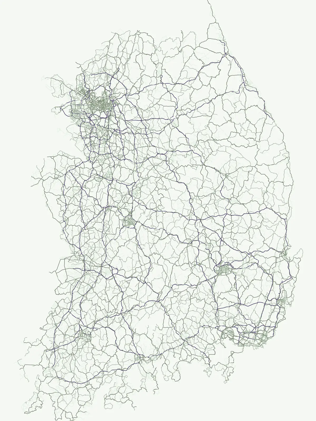
Six named features connected with three South Korean national parks
Compare South Korea’s island, peak and peninsula records
Atlas of protected insular geography and coastal terrain
Islands
Investigate the range of islands associated with South Korea's protected areas. This collection maps each island's physical presence within the country's national park geography, providing a focused view of landforms entirely surrounded by water across varying scales and formations.
Topographic data and summit geography in protected regions
Peaks
Investigate verified peaks and individual summits located throughout South Korea. Each entry provides clear topographic context, including primary mountain relationships, ridge positioning, and elevation metrics. Use this collection to compare summit features across different protected natural landscapes and mountain systems within the country.
Mapped geography of peninsula land-water configurations
Peninsulas
Access a structured collection of peninsula features found throughout protected natural landscapes in South Korea. Each entry details the land-water geometry, coastal projection, and spatial relationship to adjacent bays and islands, providing a clear geographic view of these distinct landforms.
Continue Exploring South Korea's National Park Geography and Protected Landscapes
Deepen your understanding of South Korea's natural heritage by continuing to explore its mapped national parks and protected areas. This atlas interface facilitates a structured review of the country's conservation landscape distribution, offering insights into regional geography and the extent of protected lands. Investigate further to uncover the unique geographic context of each park and its place within the nation's protected territory.