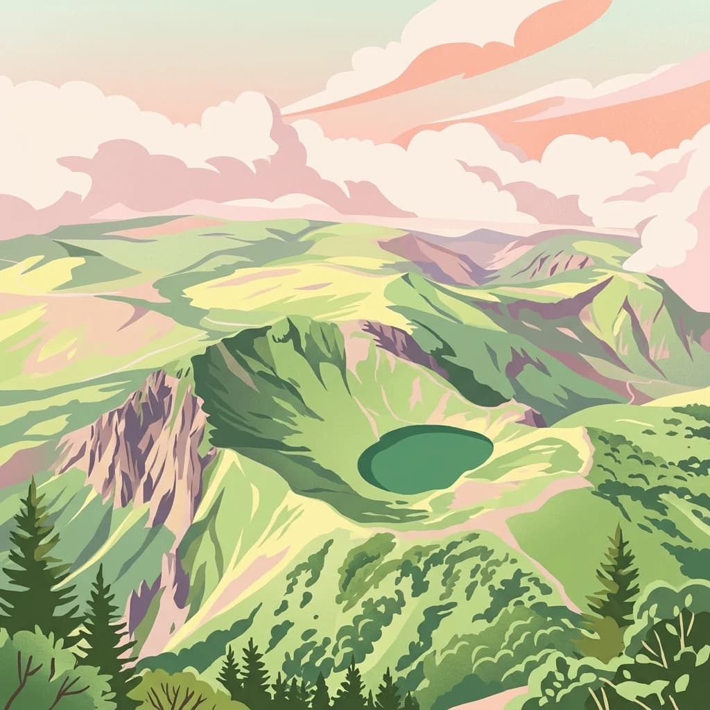
Hallasan National Park
Volcanic Terrain and Mapped Protected Boundaries
Hallasan National Park, in Jeju Province, South Korea. Landscapes: mountains, forests, and lakes.
- Area
- 153.11 km²
- Established
- 1970
- IUCN
- II
- Relief
- Mountain

Browse and compare mapped protected landscapes across South Korea's diverse geography.
Explore maps and profiles of protected areas in South Korea, including Hallasan and Seoraksan.

Analyze the scale, establishment history, and diverse ecological zones across the peninsula.
Known protected area
Area data available for 21 of 21 parks.
Median park size
Median across 21 parks with known area.
Explore mapped protected landscapes across the Korean Peninsula, from coastal regions to mountain parks and forest reserves.
South Korea is a presidential republic on the Korean Peninsula in East Asia. It has a population of about 51 million and Seoul as its capital and largest city. The country is known for its rapid economic development, high technology industry, and cultural exports.
South Korea is a developed country with a high GDP per capita and very high Human Development Index. It occupies the southern half of the Korean Peninsula, bordered by North Korea to the north and surrounded by the Yellow Sea to the west and the Sea of Japan to the east. Over half the population lives in the Seoul metropolitan area. The country's history includes ancient kingdoms, the Joseon dynasty, Japanese colonial rule, and post-World War II division.
Browse an Atlas of South Korean Protected Areas, from Volcanic Peaks to Temperate Forests

Volcanic Terrain and Mapped Protected Boundaries
Hallasan National Park, in Jeju Province, South Korea. Landscapes: mountains, forests, and lakes.

Explore mapped boundaries and regional protected-area distribution.
Seoraksan National Park is a crucial protected area offering a unique lens into the natural landscapes of Gangwon Province. This national park serves as a key geographic anchor, detailed here with its mapped boundaries and regional context for comprehensive atlas exploration. Understand its role as a conservation landscape and discover its place within South Korea's protected lands.

Explore the landscape context of this national park.
Bukhansan National Park, in Gyeonggi Province, South Korea. Landscapes: mountains, cliffs, and forests.

Explore the mapped terrain and protected area geography.
Jirisan National Park, in South Korea. Landscapes: mountains and forests.

Mapped landscape context and regional geography.
Delve into the protected landscape of Dadohaehaesang National Park, a significant national park located in South Korea. This entry provides critical geographic information, detailing the park's mapped boundaries and its place within the broader regional terrain. It serves as an essential resource for understanding the park's protected status and its unique natural features for those exploring national parks and protected areas within an atlas framework.

Discover Protected Landscape and Regional Terrain
Gayasan National Park presents a distinct protected-area entity within South Gyeongsang Province, serving as a crucial point for atlas-driven geographic exploration. As a designated national park in South Korea, it offers insights into its specific mapped boundaries and the surrounding natural terrain. Understanding this park's role within the regional geography provides a foundational element for comprehending broader landscape patterns and protected land distribution across the country.

Explore its protected land boundaries and regional landscape context.
Examine Deogyusan National Park, a designated national park situated in the Jeollabuk-do region of South Korea. This entry provides critical geographic context, focusing on the park's mapped boundaries and its role as a protected landscape. Users can gain a structured understanding of its natural terrain and regional significance, contributing to a broader atlas of protected areas.

Discover its mapped mountain terrain and protected landscape identity.
Woraksan National Park offers a detailed view of protected mountain landscapes within South Korea's Gyeongsangbuk-do region. The park is characterized by its prominent Mount Worak, steep ridgelines, and dense forested terrain, contributing significantly to the nation's network of protected areas. Users can explore the geographic context, mapped boundaries, and ecological significance of this vital national park, understanding its place in the broader regional atlas and natural landscape context.

Explore mapped protected area boundaries and natural terrain.
As a designated national park in South Korea, Hallyeohaesang National Park offers a distinct geographic profile crucial for atlas exploration. This entry focuses on its protected landscape features, mapped territorial extent, and regional context within the Republic of Korea. Understand the park's specific geographical markers and its significance as a mapped protected area.

South Korea's protected coastal terrain.
Explore the precise geographic identity of Taean Seaside National Park, a key protected area within South Korea. This page offers an atlas-style perspective on its landscape context, mapped boundaries, and regional distribution across the Korean Peninsula. Understand its role as a national park and its contribution to the mapped natural terrain of East Asia.

Explore the mapped boundaries and regional terrain of this national park.
Access detailed geographic information and atlas-style exploration for Odaesan National Park, a protected National Park located in Gangwon-do, South Korea. Understand its distinct landscape character and mapped boundaries, contributing to a broader understanding of protected areas within the regional geography. This resource is designed for users interested in the specific geographic identity and mapped context of individual park entities.

Discover the park's protected boundaries and regional context.
Investigate Naejangsan National Park, a protected area within South Korea, through its mapped geography and landscape context. This detailed atlas entry provides insight into the park's specific geographic identity and its role as a national park, offering a structured understanding of its protected natural features for focused exploration and research.
Understand how South Korea is shaped by terrain, ecosystems, and seasonal conditions
South Korea occupies the southern half of the Korean Peninsula in East Asia. It borders North Korea along the Demilitarized Zone to the north, the Yellow Sea to the west, and the Sea of Japan to the east. The terrain is predominantly mountainous with coastal plains along the southern and eastern shores.
South Korea features mountainous terrain, extensive forests, and coastlines along the Yellow Sea and Sea of Japan. The country contains several national parks including Jirisan, Seoraksan, and Gyeongju.
South Korea has a humid continental climate with four distinct seasons, influenced by its peninsula location and surrounding seas.
Related topics and popular queries
Visualize the geographic spread of South Korea's national parks, tracing protected landscapes and terrain.
Explore mapped geography, regional spread, and protected landscapes across the Korean Peninsula.
Compare South Korea's Protected Landscapes with Neighboring Regions and Broader East Asian Park Geography
Parks and protected areas in Philippines, including Underground River and Panglao Seascape.
Parks and protected areas in Japan, including Fuji-Hakone-Izu and Shiretoko.
Parks and protected areas in China, including Jiuzhaigou and Wulingyuan.
Parks and protected areas in Mongolia, including Khövsgöl National Park and Buir Lake.
Parks and protected areas in Taiwan, including Kenting and Yushan.
Parks and protected areas in Jordan, including Mujib and Dana Reserve.
Parks and protected areas in Laos, including Phou Hin Poun NBCA and Phou Xieng Thong NPA.
Parks and protected areas in North Korea, including Pujŏn.
Protected area types
Deepen your understanding of South Korea's protected areas by tracing the specific classification pathways for its National Parks and other designation types. This structured approach allows for detailed examination of conservation strategies and the geographic distribution of protected lands, offering a clearer map-based perspective on the country's natural heritage.
Find a park and explore its geography, habitats, and monthly climate.