
Analyzing the physical terrain and landform distributions across protected swiss territories
Comprehensive Geographic Atlas of Natural Features Within Switzerland National Parks
This geographic collection tracks the varied natural features integrated into the protected landscapes of Switzerland. By examining landforms from the high altitude terrain of the Alps to unique valley systems, the data provides a clear view of how geological and ecological elements define the country's national park boundaries. Use this resource to trace the connection between specific natural formations and the wider regional geography.
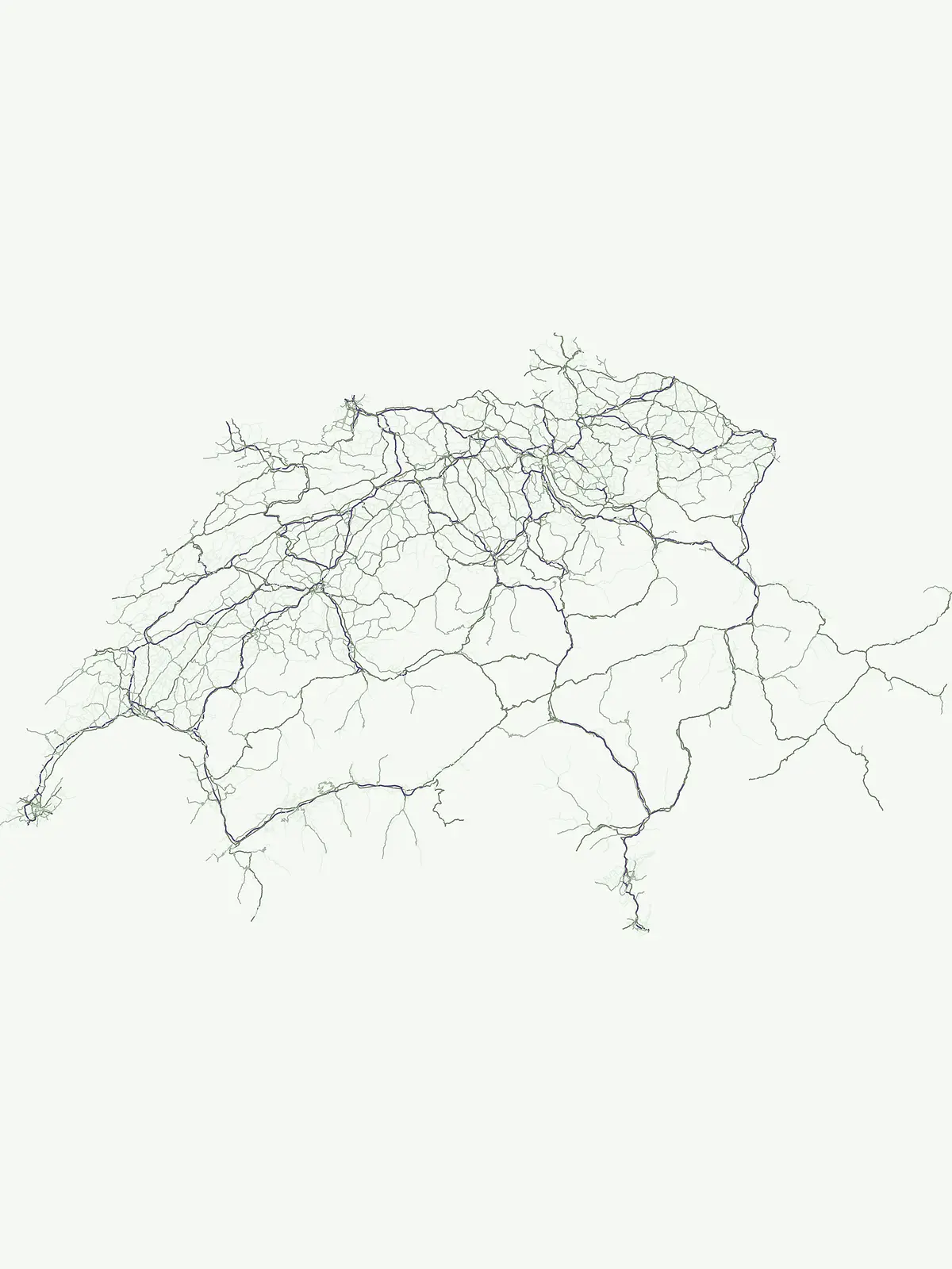
Connect individual landmarks with parks across mountain terrain
Explore Switzerland's named natural features in protected Alpine settings
Hydrological paths across the Swiss alpine geography
Rivers
Explore the geographic distribution of named rivers throughout Switzerland. This collection documents watercourse segments and hydrological networks found within protected areas, providing an atlas-based view of how major river systems traverse the country's diverse alpine, plateau, and mountain terrain.
Regional alpine geography and protected mountain landscapes
Mountain ranges
Access a curated collection of mountain range systems that intersect with protected lands across Switzerland. The collection focuses on the physical connectivity, geological extent, and structural complexity of regional massifs and highland basins, providing a spatial perspective on the country's diverse mountain geography and significant topographical features.
Continue Exploring Switzerland's National Parks and Protected Landscapes
Deepen your understanding of Swiss geography by browsing the full range of protected natural areas. MoriAtlas provides a clear map-based context for every national park, reserve, and conservation landscape, helping you trace the natural terrain of the Swiss cantons.