

Mori Atlas logo
Country natural feature index

Analyzing the geographic distribution and landscape role of river channels within protected areas

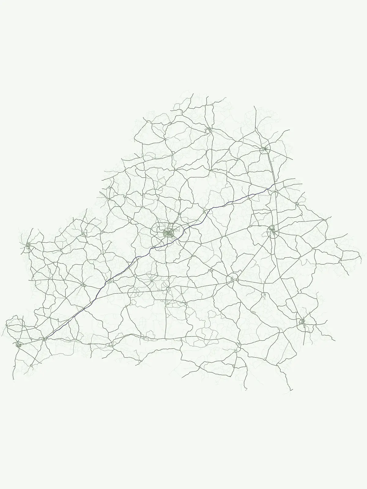
River Systems and Mapped Watercourse Features Across National Parks in Belarus

This geographic collection documents river features linked to protected areas and national parks throughout Belarus. Each entry traces the path of watercourses as they flow through diverse terrain, offering a visual and data-driven perspective on how these natural channels interact with conserved environments. Examine the specific reach of these rivers to better understand their contribution to the surrounding regional landscape and protected ecosystems.

River Systems and Mapped Watercourse Features Across National Parks in Belarus

Trace the flow of vital river systems and waterways crossing Belarus conservation lands.

Browse Mapped River Systems and Watercourses in Belarus Protected Areas

Belarus river segments and basin channels connected to national parks reveal how key watercourses shape regional wetlands and forested flatlands. Detailed river watershed comparisons offer geographic context on how Belarus hydrology networks connect protected wetlands and forest reserves.

No natural features found

Other countries

Compare the Mapped Geography and Protected Landscapes of Countries Across the MoriAtlas.

Explore Other Countries with National Parks and Protected Areas Beyond Belarus

From Belarus, browse national parks and protected areas in neighboring Eastern European countries and diverse global geographies within the MoriAtlas. This provides an invaluable atlas view to compare conservation landscapes, understand regional contexts, and explore unique ecological features.
New Zealand

New Zealand Rivers: Atlas of Mapped Natural Watercourses in Protected Park Territories

Investigate the geographic significance of major river systems flowing through New Zealand protected areas. This structured data resource provides insights into natural watercourse channels, their regional connections, and how they define the physical landscape within various national parks and wild spaces.

233 features

United Kingdom

River Landscapes and Watercourses in United Kingdom National Parks and Protected Areas

Examine named river systems and their segments across United Kingdom protected landscapes. This collection highlights the connection between natural watercourses and park boundaries, offering a clear geographic overview of riverine terrain, tributaries, and floodplains found within these conserved regions.

146 features
Australia

Atlas of River Systems and Natural Watercourses in Australia Protected Landscapes

Examine the distribution of river systems associated with national parks and protected areas throughout Australia. This atlas provides structured data on natural watercourses, focusing on their role in defining terrain and landscape character within established regional conservation boundaries.

118 features
United States of America

Rivers in the United States of America: A National Park and Protected Landscape Atlas

Browse the diverse river systems found within the protected regions and national parks of the United States of America. This collection maps individual watercourses and their relationships to local terrain, providing a clear perspective on the geography of natural river channels and basin landscapes.

80 features
France

France Rivers within National Parks and Protected Landscapes: A Regional Atlas

Access a curated record of rivers identified within the national parks and protected land systems of France. This atlas provides geographic clarity on watercourses, their basin relationships, and their presence within specific protected natural zones across the French territory.

53 features
Canada

Rivers and Major Watercourses across Canada National Parks and Protected Areas

Review identified rivers and watercourse segments located within Canada national parks. This collection offers a structured way to observe how major river systems carve through protected landscapes, focusing on the mapping of channels, tributaries, and basins throughout the country.

41 features
Italy

Italy River Network: Geographic Analysis of Protected Park Watercourses

Access a structured inventory of rivers associated with the protected geography of Italy. This collection provides regional context for natural watercourses, identifying how individual river segments, basins, and seasonal reaches correlate with formal park boundaries across the peninsula.

39 features
South Africa

Rivers and Major Waterways within South Africa Protected National Parks Atlas

Gain insight into the rivers associated with protected areas across South Africa. This collection maps significant watercourses and explores their relationship with the natural landscapes of national parks, focusing on geographic markers, flow channels, and basin topography within the country.

36 features
Natural feature types

Map the full diversity of physical, ecological, and hydrological features across national parks.

Exploring Belarus Protected Landscapes Beyond Rivers and Watercourses

Broadening your geographic focus beyond flowing river basins reveals other crucial physical, ecological, and landform categories protected within national boundaries. Belarusian park discovery benefits from comparing varied habitat classifications to understand how different geological and environmental zones shape the regional landscape.

Streams

A stream is a natural flowing watercourse contained within a channel, generally smaller than a river but defined primarily by local naming and hydrological context. Streams may be perennial, seasonal, intermittent, spring-fed, glacial, or ephemeral and often form tributaries within larger drainage networks. No universal width or discharge threshold cleanly separates a stream from a river.

2 features1 park
Explore features
Explore features

Forests

A forest in this taxonomy is a named, geographically identifiable area dominated by trees and associated vegetation. It is modeled as an individual mapped natural feature rather than as the generic forest habitat or biome category used to classify broad ecological conditions. Its identity may come from local geography, administrative recognition, traditional naming, or a distinct woodland area, none of which alone establishes composition or ecological condition.

1 feature1 park
Explore features
Explore features

Lakes

A lake is an inland body of standing water occupying a natural or substantially natural basin and supplied by precipitation, groundwater, streams, rivers, meltwater, or combinations of these sources. Lakes can form through tectonic, volcanic, glacial, karst, fluvial, coastal, or impact processes and may drain externally or remain closed. Size alone does not consistently separate lakes from ponds, so the established entity name should be respected.

1 feature1 park
Explore features
Explore features

Reservoirs

A reservoir is a body of stored water created or substantially modified through a dam, impoundment, excavation, diversion, or other managed water-control system. Although it can become integrated into surrounding landscapes and ecosystems, its form or water regime is materially influenced by human infrastructure. It must therefore remain distinct from a naturally formed lake in generated descriptions.

1 feature1 park
Explore features
Explore features

Wetlands

A wetland is a named geographic area where water permanently or seasonally covers the surface or saturates the soil sufficiently to shape hydrology, soils, and biological communities. The category can include marshes, swamps, bogs, fens, floodplains, wet meadows, tidal wetlands, and other water-influenced systems when the source does not provide a narrower normalized type. It is both a physical geographic feature and an ecological setting, but it should not be reduced to a generic habitat label.

1 feature1 park
Explore features
Explore features
MoriAtlas Explorer

Explore the Geographic Diversity of Protected Natural Features in Belarus

Navigate through the varied terrain and mapped landscapes of protected areas across Belarus. Use this MoriAtlas resource to identify specific natural features and understand their geographic distribution within the national park system, providing a clear window into the country's protected wilderness.





