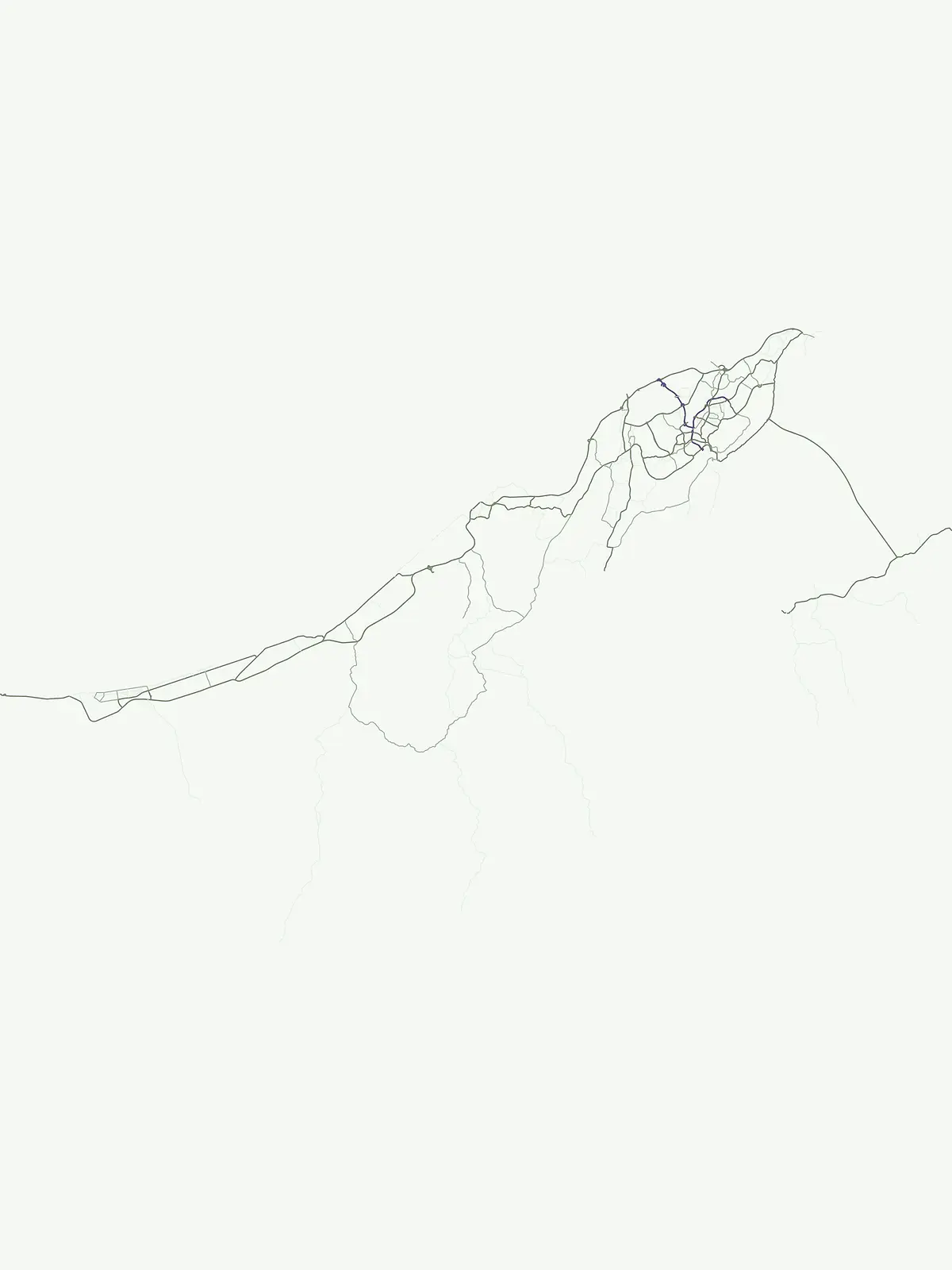
Browse a flexible index of Brunei's protected natural areas and conservation sites.
Brunei Protected Areas: Explore Protected Sites Across the Sultanate's Geography
This MoriAtlas designation page offers a comprehensive view of protected areas within Brunei, focusing on sites that serve as important conservation spaces but may not fit into sharper, normalized park categories. Explore the geographic distribution and mapped boundaries of these protected natural areas across the Sultanate, providing a foundational layer for understanding Brunei's conservation landscape.
This designation provides a general overview of protected areas in Brunei, encompassing diverse sites such as Tasek Merimbun Heritage Park and Bukit Shahbandar Forest Recreation Park. It serves as a flexible index for various conservation landscapes, allowing users to browse areas that are clearly protected within Brunei's unique Borneo geography.
Brunei's Protected Areas: Discover National Conservation Sites and Parks
Explore the comprehensive list of Protected areas throughout Brunei, showcasing a range of conservation sites and natural reserves across its varied geography. This focused national park list offers clear geographic context, allowing users to compare how these protected landscapes are distributed and managed within the country.
Protected areaBrunei
Tasek Merimbun Heritage Park
Mapped boundaries and regional natural context for this Brunei protected area.
Tasek Merimbun Heritage Park represents a distinct protected area within the geography of Brunei. This page provides detailed insight into its protected landscape, offering a map-centric view of its boundaries and its placement within the broader natural context of Borneo. Understand the park's geographic significance and explore its unique attributes for structured atlas exploration.
Explore Brunei's unique recreational forest terrain and mapped natural features.
Bukit Shahbandar Forest Recreation Park is a notable protected area within the Brunei-Muara District, distinguished by its prominent grassy ridge and a network of challenging hiking trails that traverse its varied terrain. The park's landscape is characterized by rolling hills, including peaks that reach nearly 470 feet, offering strategic vantage points. As a recreational forest, it provides a distinct example of protected land use, blending modified natural vegetation with opportunities for outdoor activity and geographic discovery. Its unique topography and trail system offer a clear focus for atlas-based exploration.
More designation routesTrace the full spectrum of conservation landscapes and mapped park geography throughout Brunei.2
Compare Brunei's Protected Area Designations, National Parks, and Nature Reserves
Browse the national parks and nature reserves within Brunei to understand the country's diverse protected landscapes beyond general protected areas. Compare these specific designation families to gain a comprehensive view of Brunei's complete system of conservation sites and mapped natural geography.
Mapped protected areas for nature conservation in Brunei.
Nature reserve
40%
This atlas segment details Brunei's nature reserves, focusing on their role in conserving specific ecosystems, habitats, and sensitive natural features. Understand the geographic distribution and the ecological importance of these protected areas within the nation's conservation landscape. The provided context highlights reserves relevant for biodiversity and habitat preservation, offering a focused discovery route.
This resource provides a dedicated view into Brunei's national parks, focusing on their role as protected landscapes and key elements of the country's geography. Browse the distribution and mapped features of these nationally significant park areas, offering an atlas perspective on conservation and natural heritage within Brunei. Understand the significance of these protected areas as cornerstones of the nation's environmental identity.