
Mori Atlas logo
Country designation

A curated atlas of distinctive geological formations and scenic natural sites across the Danish landscape.

Natural Monuments and Protected Landmarks within the Geography of Denmark

This collection highlights the natural monuments of Denmark, focusing on singular landmarks and concentrated landscapes of exceptional geological and ecological significance. Users can examine specific protected sites that exemplify the country's unique natural heritage, from coastal formations to distinctive terrain features. These records provide a structured view of areas preserved for their intrinsic scientific and scenic value within the national geography.

Natural Monuments and Protected Landmarks within the Geography of Denmark

Discover singular natural features and protected landscapes across Danish coastal geography.

Natural Monuments in Denmark: Protected Landmarks and Geological Sites

Natural monuments in Denmark designate exceptional geological formations and distinctive coastal habitats across the Nordic archipelago. Such protected natural sites highlight singular landscape features, ranging from shallow marine environments to specialized bird reserves.

Natural monument
Mapped park1
Share of country parks1%
Largest mapped parkRudmose Aggerø0.275 km²
Oldest mapped parkEstablished-year data is not available yet for the oldest mapped park in this designation.
Parks in this designationExplore distinctive geological features and coastal protected sites across national geography1
See all parks

Natural monument in Denmark: Mapped Protected Landmarks

Browse registered natural monuments in Denmark to examine specialized coastal terrain, fjord islands, and protected marine habitats. Filter through localized protected-area records to understand how singular ecological landmarks span regional geography.

Natural monumentRudmose Aggerø

Rudmose Aggerø

Protected shallow-water habitats and rural island geography

Rudmose Aggerø presents a unique study in protected coastal geography. Situated in the western Limfjorden, this low-lying island features managed nature reserves and essential intertidal ecosystems. Its geography is shaped by the interplay of sandbanks and shallow marine environments, offering a serene perspective on Denmark's protected fjord landscapes.

0.275 km²TemperateMajor water bodies
More designation routesExplore alternative conservation categories and protected area types across the country.5

Compare Other Protected Designation Families in Denmark

Evaluate how different protected area types in Denmark structure regional conservation landscapes beyond singular landmarks. Comparing adjacent designation families reveals the full scope of national parks, nature reserves, and protected landscapes.

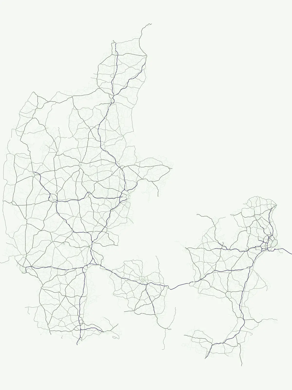
Regional map of protected natural sites across Denmark

Protected area

43%

Trace the geographic reach of Denmark through a curated collection of 37 protected areas and conservation sites. This resource offers a structured way to navigate regional landscape diversity, from coastal habitats and river valleys to expansive heathlands and vital wetlands located across the nation.

Share of country parks43%
37Mapped parksDenmark Protected Areas Atlas
Denmark Protected Areas Atlas

Regional biodiversity and habitat preservation mapping.

Nature reserve

41%

Discover the network of nature reserves in Denmark through a structured geographic lens. This collection provides mapped insights into the conservation areas that define the ecological character of the Jutland peninsula and the surrounding islands.

Share of country parks41%
36Mapped parksDenmark Nature Reserves Atlas
Denmark Nature Reserves Atlas

Regional geography, scenic stewardship, and landscape parks

Protected landscape

8%

Discover seven significant protected landscapes found throughout Denmark. This geographic index covers areas where conservation is tied to scenic character and the interaction between natural terrain and cultural land management. Explore the distribution of these regions within the Danish atlas.

Share of country parks8%
7Mapped parksDenmark Protected Landscapes
Denmark Protected Landscapes

Discover 4 nationally recognized parks and their landscapes.

National park

6%

This country-detail page provides an atlas-centric view of Denmark's national park system. Understand the geographic distribution, landscape characteristics, and protected area significance of these nationally recognized sites, facilitating focused exploration of Danish natural heritage.

Share of country parks6%
5Mapped parksDenmark National Parks and Atlas
Denmark National Parks and Atlas

Regional conservation and animal habitat mapping.

Wildlife reserve

1%

Browse the geographic details of wildlife reserves throughout Denmark. This record provides a structured look at protected habitats and conservation zones, helping you understand the placement and regional importance of these vital areas within the broader Danish geography.

Share of country parks1%
1Mapped parkDenmark Wildlife Reserves Atlas
Denmark Wildlife Reserves Atlas
MoriAtlas Explorer

Continue Exploring Denmark's Protected Landscapes and Park Geography

Deepen your understanding of Denmark's natural heritage by exploring its full spectrum of national parks and protected areas. This focused country-level atlas provides the context needed to trace the geographic distribution of conservation lands and appreciate their unique regional characteristics. Use this resource to navigate further into specific park details or compare protected territories across the nation.