Mori Atlas logo
Countries

Discover the mapped boundaries and natural landscapes of Ivory Coast's protected territories.

Ivory Coast National Parks and Protected Areas: A Geographic Atlas Explorer

Ivory Coast, a key nation in West African geography, features a collection of national parks and protected areas vital for landscape conservation. MoriAtlas provides a structured geographic view, enabling users to explore the mapped extent of these protected lands. Understand the distribution of natural terrains and conservation sites, using this country as an atlas entry point to browse and compare distinct protected territories across the nation.

Related tags

west africacountryfrancophonecocoa producercoastal country
About

Map the diverse park geography and protected landscape distribution across Ivory Coast.

Discover National Parks and Protected Areas in Ivory Coast: An Atlas of West African Conservation Landscapes
Explore the national parks and protected areas within Ivory Coast, a key West African country. Discover the mapped geographic spread of its conservation landscapes, offering a structured entry point for understanding the region's diverse ecosystems.

Ivory Coast, officially the Republic of Côte d'Ivoire, is a West African country with a coastline on the Gulf of Guinea. It gained independence from France in 1960 and is now a presidential republic. The country is a major producer of cocoa and coffee, with Abidjan serving as its largest city and economic hub, while Yamoussoukro is the official capital.

Ivory Coast is a West African nation located on the southern coast along the Gulf of Guinea. The country achieved independence from France in 1960 and operates as a unitary presidential republic. It borders Guinea, Liberia, Mali, Burkina Faso, Ghana, and the Atlantic Ocean. French is the official language, though numerous indigenous languages are widely spoken. The economy is driven by agriculture, particularly cocoa and coffee production. The population is religiously diverse, with significant Muslim and Christian communities.

Largest city:Abidjan
Currency code:XOF
ISO code:CI
Parks count
4
Capital
Yamoussoukro
Area
322,462 km²
Population
31,500,000 (2,024)

Coastal
Island
Mountainous
Landlocked
Park atlas4 parks

Map the diverse national parks, forest reserves, and conservation sites across Ivory Coast's distinct geography.

National Parks in Ivory Coast: Explore West Africa's Protected Areas and Landscapes
Discover the national parks and protected areas of Ivory Coast, featuring significant UNESCO sites like Comoé and Taï National Parks, along with diverse forest and savanna ecosystems. Explore a curated atlas view of this West African country's conservation landscapes, understanding their geographic spread and ecological importance.
National parkIvory Coast

Comoé National Park: A UNESCO World Heritage Site and Ivory Coast's Largest National Park

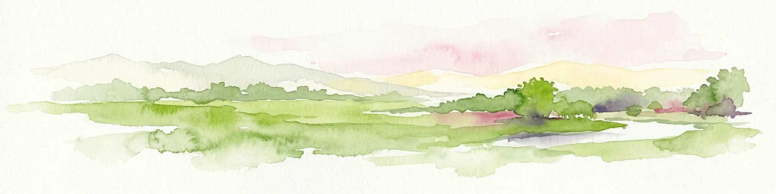
Explore its diverse savanna ecosystems and gallery forest geography.

Comoé National Park is a landmark protected area in West Africa, celebrated as the most biodiverse savanna on Earth. Situated across northeastern Ivory Coast, it encompasses a unique geographic gradient from Guinea savanna to Sudanian zones, supporting varied habitats from expansive savannas to dense gallery forests along the Comoé River. Its status as a national park highlights its critical role in wildlife conservation and its significant contribution to the understanding of transitional ecological landscapes.

Area
11,500 km²
Established
1983
IUCN
II
Relief
Lowland
National parkIvory Coast

Taï National Park: A Primary Rainforest Protected Area in Ivory Coast

Explore mapped boundaries and critical primate habitats in West Africa.

Taï National Park in Ivory Coast stands as a monumental protected landscape, comprising the largest contiguous area of primary rainforest remaining in West Africa. Its designation as a national park highlights its critical role in preserving biodiversity and unique geographic features. Users exploring this destination can delve into its mapped terrain, understand its regional landscape context within Ivory Coast, and appreciate its significance as a vital habitat for endangered species and an integral part of the Upper Guinean forest ecosystem.

Area
3,300 km²
Established
1972
IUCN
II
National parkIvory Coast

Îles Ehotilé National Park: A Protected Island Ecosystem within Ivory Coast's National Park Network

Explore its island terrain and mapped coastal geography.

Îles Ehotilé National Park stands as a protected island ecosystem within the national park system of Ivory Coast. This area is distinguished by its island landscapes, coastal zones, and the surrounding marine environments characteristic of the Gulf of Guinea. As a designated national park, it plays a crucial role in preserving unique West African island biodiversity and providing a mapped protected area for ecological study and appreciation. The park's conservation focus highlights the importance of safeguarding coastal habitats within the region.

IUCN
II
National parkAbidjan

Banco National Park National Park: Primary Forest Landscape and Abidjan Geography

Explore mapped boundaries and urban conservation.

Banco National Park is a globally significant protected area, uniquely preserving dense primary tropical forest within the urban sprawl of Abidjan, Ivory Coast. This national park offers critical insights into urban conservation, featuring rare tree species and providing essential ecosystem services like water supply and carbon sequestration for the surrounding region. Its landscape, characterized by the Gbangbo River and rare mahogany and avodire trees, forms a vital geographic element within the metropolitan atlas.

Area
30 km²
Established
1953
IUCN
II
Relief
Lowland
Landscape and environment

Understand how Ivory Coast is shaped by terrain, ecosystems, and seasonal conditions

Ivory Coast geography, nature, climate, and landscape context for park-focused travel research
Explore the physical geography, natural setting, and climate patterns of Ivory Coast through a location-first overview built for travel research, national park discovery, and broader regional context. This section helps explain how landscapes, habitats, and environmental conditions shape what people search for, where they travel, and how they experience protected areas in Ivory Coast.

Ivory Coast geography and landscape

Ivory Coast is situated on the southern coast of West Africa along the Gulf of Guinea. It borders Guinea to the northwest, Liberia to the west, Mali to the northwest, Burkina Faso to the northeast, Ghana to the east, and the Atlantic Ocean to the south. The terrain includes coastal plains, interior highlands, and forested regions.

Ivory Coast nature and environment

Ivory Coast features diverse ecosystems including coastal forests, inland savanna, and forest reserves. The country has several protected areas and national parks preserving its biodiversity.

Ivory Coast climate and seasonal conditions

Ivory Coast has a tropical climate with wet and dry seasons. The southern coastal areas receive more rainfall, while the northern regions experience drier conditions.

Explore this place

Related topics and popular queries

Ways to explore Ivory Coast
Useful phrases, related topics, and discovery prompts connected to Ivory Coast.
where is ivory coastivory coast country west africacapital of ivory coast yamoussoukrolargest city abidjan ivory coastivory coast population areaivory coast official language frenchivory coast countrycôte d'ivoire west africaabidjan largest cityyamoussoukro capitalivory coast populationivory coast geographycocoa producing country
Park map

Explore the Spatial Spread of Protected Landscapes Across West Africa's Ivory Coast

Map of National Parks in Ivory Coast: Trace Protected Areas and Geographic Distribution
Browse the geographic placement of national parks and protected areas across Ivory Coast, including key conservation landscapes like Comoé and Taï National Parks. Uncover how these essential West African protected areas are distributed within the country's diverse terrain, providing valuable context for deeper atlas exploration.

Understand the mapped geography, park distribution, and conservation context across Ivory Coast.

Frequently Asked Questions About National Parks and Protected Areas in Ivory Coast
Explore comprehensive answers to frequently asked questions concerning Ivory Coast's national parks, wildlife reserves, and protected natural areas. Gain valuable geographic insights into park distribution, conservation efforts, and the unique West African landscapes across the country.
Other countries

Expand your atlas exploration: Compare West African protected landscapes and their unique park geography.

Discover Other Countries with National Parks and Protected Areas Near Ivory Coast
Browse national parks and protected areas in neighboring West African countries to continue your atlas exploration beyond Ivory Coast. This comparative country view helps trace regional park geography and discover diverse conservation efforts across various protected landscapes.

Ghana

12 parks

National Parks and Protected Areas of Sierra Leone: An Atlas Overview

MoriAtlas offers a structured view of Sierra Leone's national parks and protected areas. Navigate through the country's conservation territories, understanding their geographic placement and natural landscape features. This atlas entry serves as a gateway to detailed information on protected areas, aiding in the discovery of regional geography and the distribution of significant natural reserves across Sierra Leone.

4 parks

Liberia National Parks and Protected Areas: Explore Geographic Distribution and Mapped Landscapes

Access a structured overview of Liberia's national parks and protected areas. This atlas-style exploration details the geographic spread and mapped boundaries of conservation lands, offering insight into the country's natural terrain and regional ecological significance. Understand where protected landscapes are situated across Liberia and their relation to broader West African geography.

3 parks

Burkina Faso National Parks and Protected Areas: Mapped Geographic Distribution

Navigate the protected areas and national parks of Burkina Faso, a landlocked country in West Africa. This atlas provides a geographic lens to understand the spread of conservation landscapes, from savanna ecosystems to gallery forests. Examine mapped park boundaries and their placement within the country's regional geography for structured discovery.

3 parks

Togo National Parks and Protected Areas: An Atlas Exploration of Natural Landscapes

Access a structured geographic overview of Togo's national parks and protected natural areas. This atlas-style resource details the mapped boundaries and regional spread of conservation landscapes, offering insight into the country's protected terrain. Understand how Togo's protected areas fit into the broader West African geographic context.

2 parks

Benin National Parks and Protected Areas: Geographic Overview and Map Exploration

Navigate the protected natural areas of Benin through an atlas-focused approach. This resource highlights the geographic spread of national parks and conservation landscapes, offering a clear view of the country's protected territories. Understand the regional context and mapped boundaries of Benin's natural heritage, facilitating structured discovery for those interested in conservation geography and landscape analysis.

2 parks

Guinea National Parks and Protected Areas Atlas: Browse Protected Landscapes

Understand the breadth of protected lands across Guinea. This atlas provides a geographic overview, detailing the mapped boundaries and regional context of national parks and other protected areas. Explore the distribution of Guinea's natural landscapes and understand their placement within the country's diverse terrain.

1 park

Mali National Parks and Protected Areas: Browse Protected Landscapes and Geography

Navigate Mali's protected natural areas, from the Sudanian savanna to woodland ecosystems, using this comprehensive atlas view. Explore the geographic distribution and mapped boundaries of national parks and conservation lands across this West African nation. Gain structured insight into the country's natural terrain and its importance for regional geography and habitat protection.

1 park
MoriAtlas Explorer

Continue Your Global Geographic Exploration with MoriAtlas Park Discovery

Dive deeper into the world's protected landscapes and national parks through MoriAtlas's structured atlas interface. Discover how continents and countries are organized, and how individual park geography fits into the broader map. Our platform is built for understanding the distribution and context of protected areas worldwide, facilitating your journey through global natural geography.

Global natural geography