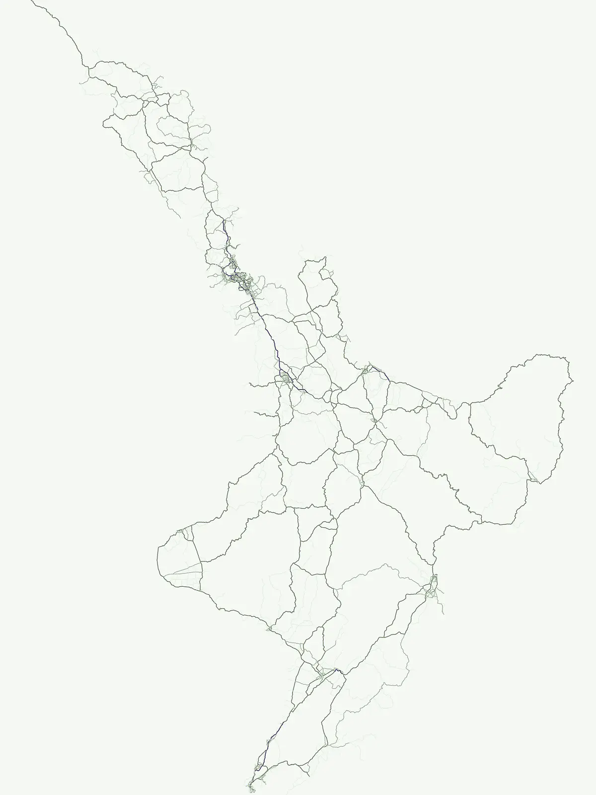
Explore diverse natural reserves and protected lands across the North and South Islands
Comprehensive Atlas of Protected Area Sites and Conservation Landscapes in New Zealand
This geographic collection identifies protected area sites within New Zealand that function as essential conservation landscapes. The atlas organizes these sites to provide a clearer understanding of how various protected lands are distributed throughout the country geography. Users can examine these areas to learn about the specific terrain and regional context of sites that exist outside conventional park classification systems.
Navigating diverse natural environments across the islands of New Zealand.
Protected Areas in New Zealand: Flexible Conservation Sites and Reserves
General protected areas in New Zealand encompass flexible conservation sites that exist outside standard park categories. Browsing these diverse natural habitats helps reveal unique regional reserves and specialized ecological zones across the country.
Protected Area Index and Mapped Park List for New Zealand
Browse filtered protected areas in New Zealand, ranging from estuarine reserves to expansive backcountry mountain forests. Examining these diverse conservation units provides clear insight into regional park geography and native habitat distribution.
Protected areaManawatu-Whanganui RegionMountain
Kaimanawa Forest Park
Remote backcountry wilderness within the Manawatu-Whanganui Region
Spanning the high country of the Rangitikei District, Kaimanawa Forest Park offers a vast, forested wilderness experience distinct from the surrounding volcanic cones. This atlas entry details the park's structural role as a protected conservation area, tracing its boundaries across rugged mountain ridges and deep valleys that define the heart of New Zealand's central North Island landscape.
A protected offshore sanctuary near Great Barrier Island
Rakitu Island is an uninhabited 253-hectare protected area that represents a distinct volcanic landscape off the northeast coast of New Zealand. Formed from eroded rhyolite domes, the island features high coastal cliffs and a central valley that now supports native forest regrowth. This predator-free sanctuary offers an essential map perspective on small-scale island conservation and rugged maritime terrain.
Native bushland, valley systems, and conservation geography.
Coromandel Forest Park comprises an expansive system of forested hills and valleys covering the heart of the Coromandel Peninsula. This protected area features dense native ecosystems, ranging from the accessible Kauaeranga Valley to the ecologically significant southern blocks. Use this atlas perspective to understand the terrain, boundaries, and conservation value of this essential Waikato Region landscape.
A coastal shellbank island refuge within the Waitematā Harbour.
Motumānawa / Pollen Island is an essential protected area near the Rosebank Peninsula, serving as a sanctuary for native bird populations and estuarine vegetation. Its status as both a scientific and marine reserve highlights the importance of small-scale coastal conservation within a major metropolitan harbour landscape in New Zealand.
Volcanic summits and native podocarp forest boundaries
Gain a deeper understanding of Pirongia Forest Park through its complex volcanic geology and dense native vegetation. This resource outlines the park's fragmented ridges, limestone stream systems, and its role as a biogeographic bridge within the Waikato landscape of New Zealand.
More designation routesExplore alternative conservation classifications and park families across New Zealand6
Compare Other Protected Area Types and Designations in New Zealand
Browse adjacent park categories and conservation classifications to evaluate different protected area types across New Zealand. Comparing alternative designation pathways clarifies the broader spectrum of regional reserves and national landscapes.
Atlas of protected habitats and island sanctuaries
Nature reserve
27%
Explore the geographic distribution of 24 nature reserves across New Zealand. These protected areas prioritize the conservation of native ecosystems, ranging from island sanctuaries and coastal forests to sensitive geological features, providing a vital layer to the national landscape.
Examine the geographic distribution of marine protected areas across the New Zealand archipelago. These designated zones encompass critical coastal features, including fiords, rocky shores, and island habitats, providing a clear window into the nation's marine conservation landscape.
Discover the country's national park system and mapped protected areas.
National park
15%
Delve into the specifics of New Zealand's national parks, a key designation for landscape conservation and biodiversity. This resource provides a clear view of each park's geographical placement and role within the nation's protected area strategy. Use this to browse and understand the distribution of these significant natural landscapes across the islands.
Browse the collection of regional parks in New Zealand to understand their role in local landscape protection. Our atlas data helps you visualize these protected areas, offering a clear perspective on how they function as distinct geographic and natural units within the broader national terrain.
Mapped protected areas and stewardship territories
Protected landscape
11%
Discover ten notable protected landscapes throughout New Zealand. This index examines how these territories balance ecological health with scenic character, providing a comprehensive look at land-scale conservation and regional geography across the North and South Islands.
Regional mapping of essential animal habitat reserves.
Wildlife reserve
7%
Browse the geographic distribution of wildlife reserves within New Zealand. This collection focuses on protected areas that prioritize habitat continuity and the restoration of native animal populations, offering a clear view of the regions where critical conservation efforts are currently concentrated.