Mori Atlas logo
Park earthquake history

A geological catalogue of historical earthquakes mapped by distance from the protected park boundaries.

Recorded Seismic Activity and Earthquake History Near Bikin National Park in Primorsky Krai

This collection provides a structured overview of recorded earthquake events associated with the surrounding terrain of Bikin National Park. Users can examine historical seismic data, including specific magnitude measurements, epicentral depths, and calculated proximity to the old-growth forests of the Sikhote-Alin mountain range. The data offers an objective perspective on regional seismic activity recorded near this wilderness area without implying future hazard trends.

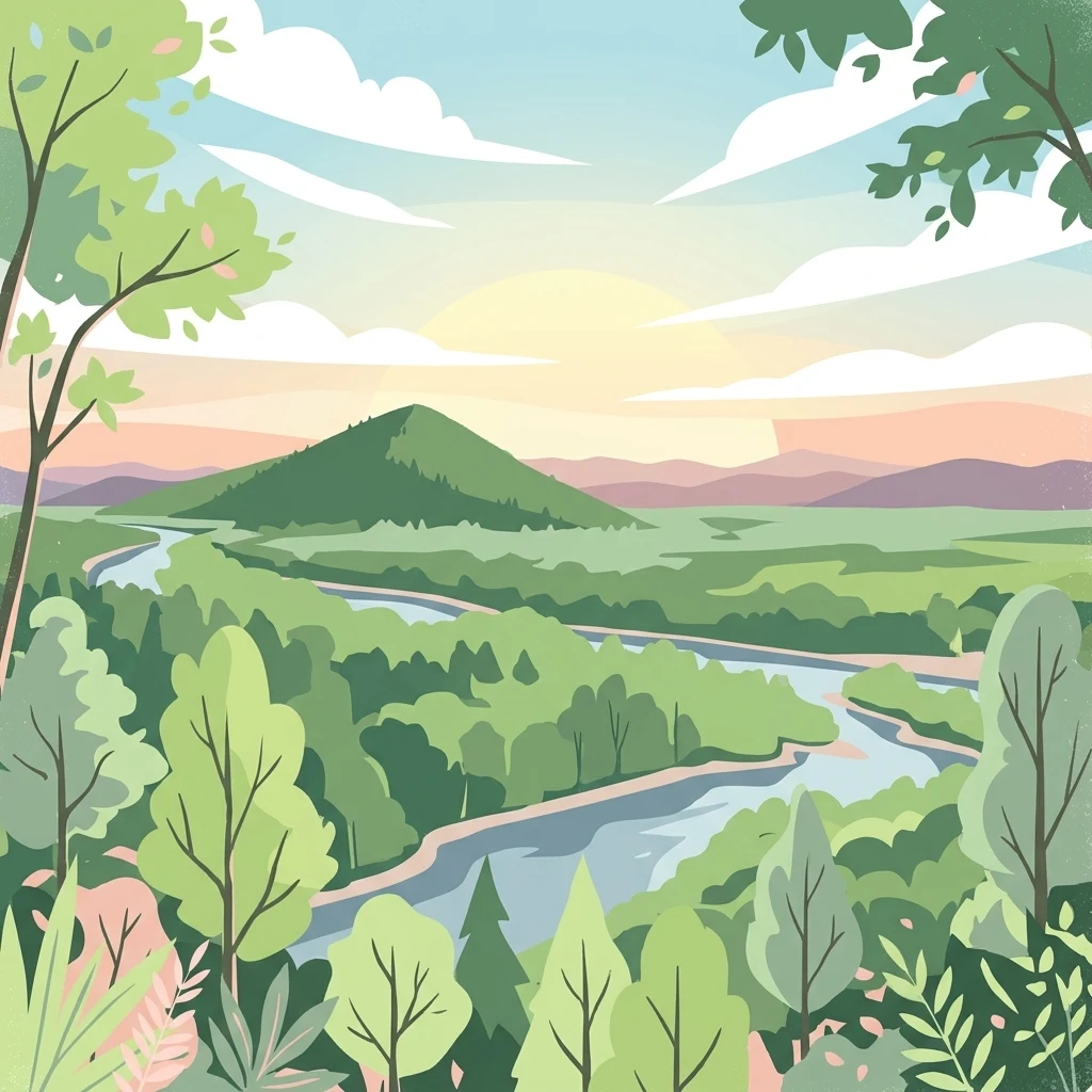
Illustration of a winding river flowing through a dense forest with a mountain in the background under a partly cloudy sky

Pristine old-growth forest sanctuary in the Russian Far East protecting 10% of the world's Amur tigers

Bikin National Park

Bikin National Park is a vast protected area in the Russian Far East, established in November 2015 to safeguard the largest remaining old-growth mixed forest in the Northern Hemisphere. Located in Primorsky Krai on the western slope of the Sikhote-Alin mountain range, the park encompasses over 1.16 million hectares of largely unbroken temperate rainforest. The park holds exceptional global significance as the habitat of approximately 10% of all wild Amur tigers, making it one of the most critical conservation areas for this endangered subspecies. The Bikin River flows westward through the heart of the park, connecting the Amur River basin with the maritime regions of the Russian Far East. The park's ecological importance extends far beyond its tiger population. It represents one of the most biodiverse temperate forest ecosystems in the world, supporting a remarkable array of flora and fauna within its pristine boundaries. The old-growth forests here have remained largely untouched by industrial development, providing a rare window into the natural dynamics of a healthy boreal and temperate forest ecosystem. The park also holds cultural significance as the ancestral homeland of the Udeghe and Nanai indigenous peoples, whose traditional forest-based lifestyle of fishing, hunting, and pine nut gathering continues within the region. In 2018, the Bikin River Valley was inscribed as a World Heritage Site through an extension of the existing Central Sikhote-Alin World Heritage property, recognizing its outstanding universal value as one of the last great wilderness areas in temperate Asia.

Location
Russia
Park type
National park
Established
2015
Area
11,600 km²
Explore Bikin National Park Geography

Inspect Bikin National Park dates, magnitudes, depths, locations, and park distances

Review historical earthquake observations near Bikin National Park

Bikin National Park spans 11,600 km² of temperate mountain forest and river valleys in Russia, giving the earthquake records a broad geographic setting. Read each source-linked observation through its timestamp, magnitude scale, depth, epicentre description, and computed distance to the park while keeping regional proximity separate from claims about forest impacts, hazard level, or future activity.

Sort by
Magnitude
Location

This page describes catalogued earthquakes associated with the park by epicentre location and distance. It does not establish causation, assess current danger, or predict future earthquakes.

No earthquake records match the current filters

Park atlas

Move from Bikin National Park earthquake records into broader atlas discovery

Find additional protected parks beyond Bikin National Park

After the Bikin National Park earthquake catalogue, an independent set of protected destinations creates new exploration routes. The suggestions do not indicate common Russian geography, forest or river landscapes, legal status, earthquake data, geological traits, nearby locations, seismic conditions, hazard, or risk.
A soft watercolor illustration showing a winding river through a forested valley with rolling hills in the background.
National parkPrimorsky Krai
Mapped location lies within the park boundary#1 closest

East

Bikin National Park: Protected Landscape Map and Regional Geography in Primorsky Krai

A vast wilderness corridor in the Sikhote-Alin mountain range

Bikin National Park is a prominent protected area in Primorsky Krai, encompassing the Bikin River valley and surrounding mountain ridges. This wilderness preserve is integral to the survival of the Amur tiger and features a distinct mix of coniferous and broadleaf forest ecosystems. The geography highlights a transition between boreal and temperate forest zones, maintained as a largely untouched natural landscape within the Russian Far East.

Area
11,604.7 km²
Established
2015
IUCN
II
Relief
Mountain
Watercolor painting of a landscape featuring green forests, distant mountains, and a body of water in the foreground
National parkPrimorsky Krai
About 74 km away#2 closest

Southwest

Udegeyskaya Legenda National Park: National Park with Mapped Protected Boundaries

Explore Protected Landscape Geography in Primorsky Krai

Gain an atlas-level understanding of Udegeyskaya Legenda National Park, a designated national park situated in Russia's Primorsky Krai. This resource provides insights into the park's geographic setting and the extent of its protected landscape. It is designed for users interested in the mapped features and regional context of protected natural areas, offering a clear view of the park's role within its geographic domain.

Area
1,037 km²
Established
2007
IUCN
II
Relief
Mountain
Watercolor painting of a river flowing through green hills with pink flowering trees and distant mountains under a light sky
National parkKhabarovsk Krai
About 241 km away#3 closest

North

Anyuysky National Park: Geographic and Protected Landscape Discovery in Khabarovsk Krai

Ecological corridors from the Amur River to the Sikhote-Alin mountains.

Anyuysky National Park represents a critical, remote expanse in the Russian Far East. Its boundaries protect a continuous gradient of habitats, linking the flat wetlands of the Amur River floodplain with the forested slopes of the Sikhote-Alin highlands. The park serves as a key area for habitat preservation and environmental mapping.

Area
4,294 km²
Established
1999
IUCN
II
Relief
Mixed relief
Watercolor illustration of a serene river landscape with birch trees in the foreground, forest in the midground, and soft-colored mountain ranges in the background.
National parkKhabarovsk Krai
About 241 km away#4 closest

North

Anyuysky National Park: Protected Sikhote-Alin Forests and River Valley Geography

An intact wilderness refuge in Khabarovsk Krai, Russia.

Anyuysky National Park stands as a primary reference for intact East Asian ecosystems. The park encompasses a dramatic landscape of forested ridges, riparian zones, and the signature Anyui Pillars. These sandstone rock formations overlook a valley that remains largely untouched by human activity, serving as a critical habitat within the greater Sikhote-Alin range. This geography offers a rare look at the transition from high-mountain terrain to the expansive Amur River basin.

Area
4,293 km²
Established
2007
IUCN
II
Relief
Mountain
National parkHokkaido
About 305 km away#5 closest

East

Rishiri-Rebun-Sarobetsu National Park: Volcanic Islands and Coastal Wetlands of Northern Hokkaido

Explore its mapped geography and unique subarctic alpine flora.

Rishiri-Rebun-Sarobetsu National Park in Hokkaido, Japan, offers a unique exploration of dramatic volcanic islands and vital coastal wetland ecosystems. This protected area showcases striking geological formations, from the conical peaks of Rishiri and Rebun islands to the vast peat bogs of the Sarobetsu Plain. Its subarctic environment supports a rich tapestry of alpine flora, providing a distinct case study in protected landscape geography and mapping for the region.

Area
241.66 km²
Established
1974
IUCN
II
Visitors
730K annual
National parkPrimorsky Krai
About 339 km away#6 closest

South

Zov Tigra National Park: Regional Geography and Sikhote-Alin Protected Landscape Analysis

A core conservation area in the southern Russian Far East.

Zov Tigra National Park encompasses an essential segment of the Sikhote-Alin mountain range, featuring deep river gorges and soaring ridges that reach the highest elevations in Primorsky Krai. This protected expanse integrates diverse forest types and serves as a key habitat link for rare species. Our atlas data details the terrain, elevation gradients, and river corridors that define this significant Russian conservation zone.

Area
834.9 km²
Established
2007
IUCN
II
Relief
Mountain
Watercolor painting of a valley landscape with a river, hills, trees, and a sky with sunrise colors
National parkPrimorsky Krai
About 339 km away#7 closest

South

Zov Tigra National Park: Geography and Protected Wilderness of the Sikhote-Alin Range

A rugged mountain landscape and critical conservation area in Primorsky Krai.

Zov Tigra National Park features a dramatic, forest-covered terrain within the southern Sikhote-Alin mountains. With peaks rising to 1,854 meters and deep river canyons, this protected area serves as a cornerstone for wildlife recovery and ecological monitoring in the region. Explore the topographical characteristics of this unique mountain habitat and its position in the broader Primorsky Krai geography.

Area
834 km²
Established
2007
IUCN
II
Relief
Mountain
Watercolor illustration of rolling green hills, scattered trees, and distant mountains under a pale sky.
National parkPrimorsky Krai
454 km away#8 closest

Southwest

Land of the Leopard National Park: Protected Area Map and Geographic Context in Primorsky Krai

Atlas exploration of Russia's critical Amur leopard habitat.

Investigate Land of the Leopard National Park, a nationally significant protected area situated in Primorsky Krai, Russia. This park is celebrated as the exclusive remaining sanctuary for the critically endangered Amur leopard, making it a focal point for global conservation efforts. Its varied landscape, characterized by forested slopes and mountainous terrain, serves as essential habitat not only for leopards but also for Siberian tigers. The park provides a rich geographic setting for understanding protected land distribution and regional ecosystems within the Russian Far East.

Area
2,799 km²
Established
2012
IUCN
II
Relief
Mixed relief
MoriAtlas Explorer

Explore the Mapped Geography and Protected Wilderness of Bikin National Park

Continue your study of Bikin National Park to understand its unique role in the Sikhote-Alin mountain system. MoriAtlas provides a clear look at the park boundaries, river basins, and old-growth forest extent that define this crucial Russian Far East conservation region.