Mori Atlas logo
Park earthquake history

A structured geographical catalogue of historical seismic events mapped by epicentre distance

Recorded Earthquake History and Seismic Records Associated with Cévennes National Park

Explore a detailed record of historical earthquake events that have occurred within proximity to the varied terrain of Cévennes National Park. This catalogue provides a chronological overview of seismic activity through data points including magnitude, depth, and distance from park boundaries. These historical entries facilitate a clearer understanding of local seismic records while maintaining a focus on the geographical context of this protected French landscape.

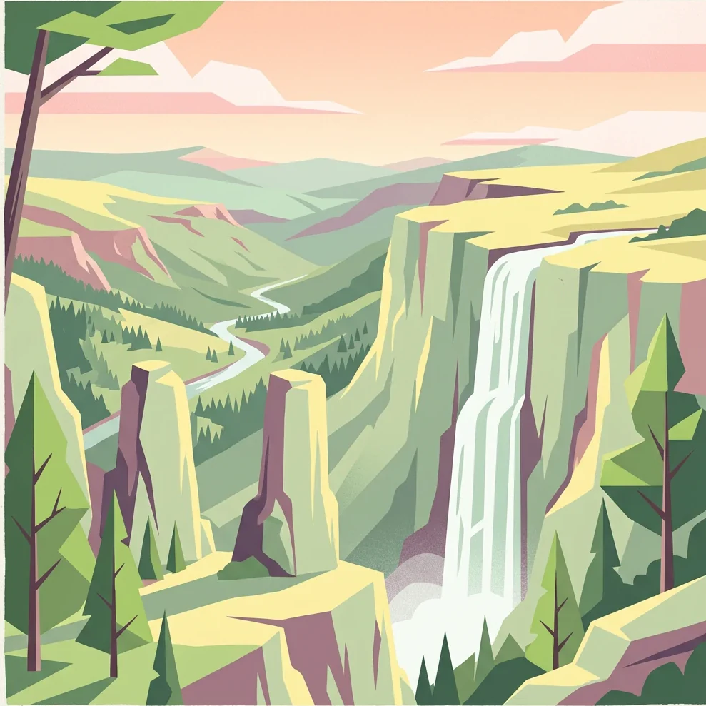
Stylized illustration of a mountain valley with cliffs, waterfall, and forested hills

France's unique mid-mountain national park with Mediterranean landscapes, living cultural heritage, and exceptional biodiversity

Cévennes National Park

Cévennes National Park is a French national park established in 1970 and located in the mountainous Cévennes region of Southern France. It spans four departments—Lozère, Gard, Ardèche, and Aveyron—making it the French national park covering the greatest number of departments. The park is distinctive as the only French national park situated in mid-mountain terrain and one of only two in metropolitan France where the core protected zone contains permanent residents engaged in agriculture and hunting. The park protects a remarkable diversity of landscapes, from the granite peaks of Mont Lozère and Mont Aigoual to the limestone causse plateaus and the steep schist valleys known as vallées cévenoles. In 2011, the park became part of the UNESCO World Heritage Site recognizing The Causses and the Cévennes, Mediterranean agro-pastoral Cultural Landscape, acknowledging the region's centuries-old balance between human activity and natural environments.

Location
France
Park type
National park
Established
1970
Area
937 km²
Highest point
1,699 m
Explore Cévennes National Park protected landscape

Trace regional epicentres, chronological event data, and measured depths across Southern France

Searchable Historical Earthquake Records for Cévennes National Park

Recorded seismic events associated with Cévennes National Park are mapped and catalogued by epicentre proximity to document historical regional activity. Individual dataset entries detail the exact origin date, measured magnitude, focal depth, reported location, calculated distance from the park boundaries, and primary monitoring source.

Sort by
Magnitude
Location

This page describes catalogued earthquakes associated with the park by epicentre location and distance. It does not establish causation, assess current danger, or predict future earthquakes.

No earthquake records match the current filters

Park atlas

Expand your geographic discovery with mapped reserves and international park profiles.

Explore National Parks and Protected Landscapes Beyond Cévennes National Park

Global conservation records offer direct pathways to examine diverse wilderness sanctuaries and national parks across different continents. Structured geographic data assists in comparing regional borders, legal protection categories, and documented terrain profiles worldwide.
Watercolor illustration of coastal mountains and shoreline with scattered trees
National parkBouches-du-Rhône
157 km away#1 closest

Southeast

Calanques National Park: Mediterranean Limestone Cliffs and Marine Protected Area

France's First Peri-Urban National Park

Calanques National Park, situated in the Bouches-du-Rhône department, represents a significant protected landscape where dramatic limestone geology meets the Mediterranean Sea. This atlas-focused entry details the park's iconic calanques, its combined terrestrial and marine protected zones, and its rich prehistoric cultural significance. Understand its unique geographic setting and its importance as a conservation area accessible for map-based discovery and regional landscape context.

Area
520 km²
Established
2012
IUCN
II
Relief
Mountain
Watercolor illustration showing mountains, a winding river, and pine trees in a landscape
National park
168 km away#2 closest

East

Écrins National Park: Alpine Glaciated Terrain and Protected Landscape Details

Mapped boundaries and regional geography of a major French National Park.

Delve into Écrins National Park, a defining national park within the French Alps. This page provides a comprehensive overview of its protected landscape, focusing on its dramatic glaciated terrain, significant peaks such as the Barre des Écrins, and its position within the regional geographic context. Explore the mapped extent and understand the unique alpine environment of this protected area.

Area
925 km²
Established
1973
IUCN
II
Visitors
800K annual
Watercolor illustration of a mountainous landscape featuring a river, rolling hills, and green vegetation
National park
211 km away#3 closest

East

Mercantour National Park: Mapped Alpine Protected Landscape and Regional Geography

Explore France's dramatic Alps, park boundaries, and unique ecotones.

Mercantour National Park stands as a premier protected area within the French Alps, distinguished by its remarkable geographic diversity and ecological significance. This national park encompasses mountainous terrain featuring dramatic peaks, deep glacial valleys, and a unique ecotone where Mediterranean and Alpine ecosystems converge. MoriAtlas facilitates a detailed atlas-style exploration of Mercantour National Park, highlighting its mapped protected boundaries, varied natural landscapes, and its pivotal role in regional geography and conservation efforts.

Area
679 km²
Established
1979
IUCN
II
Visitors
800K annual
Watercolor painting of a river winding through a valley with green fields, trees, and distant hills
Protected area
About 221 km away#4 closest

Southwest

Parc Natural Comunal de les Valls del Comapedrosa: Andorra's Highest Protected Alpine Landscape

Explore the Pyrenean terrain and mapped boundaries of Andorra's summit park.

Parc Natural Comunal de les Valls del Comapedrosa is the primary high-altitude protected area in Andorra, defined by its rugged alpine terrain and the presence of Coma Pedrosa, the country's highest peak. This protected landscape offers a significant geographic anchor for exploring the Pyrenees, highlighting the unique mountain conservation efforts. Its mapped boundaries encompass dramatic valleys and steep ridges, providing a clear context for understanding Andorra's mountainous geography through a structured atlas lens.

Area
15.43 km²
Established
2003
IUCN
IV
Relief
Mountain
Watercolor painting depicting mountains, a river, and trees under a light sky
National parkSavoie
230 km away#5 closest

Northeast

Vanoise National Park: Explore France's Original National Park in the Savoie Alps

Mapped Alpine geography, glacial terrain, and protected landscape.

Vanoise National Park is France's pioneering national park, a protected landscape of immense alpine beauty situated in the Savoie department. Renowned for its dramatic glacial terrain, over 100 peaks above 3,000 meters, and the iconic Alpine ibex, this park offers a profound geographic context. Explore its mapped boundaries and discover the unique atlas-level insights into France's mountainous protected areas and their ecological significance.

Area
534 km²
Established
1963
IUCN
II
Relief
Mountain
Watercolor painting of a landscape with trees, hills, and a body of water
National park
About 245 km away#6 closest

Southeast

Port-Cros National Park: French Mediterranean Island National Park & Marine Sanctuary

Discover mapped protected land and unique Mediterranean ecosystems.

Port-Cros National Park offers a glimpse into a pioneering model of integrated terrestrial and marine conservation within the Mediterranean. This park protects a distinctive island geography marked by rugged terrain, endemic species, and vital underwater habitats, including crucial posidonia meadows and rich marine life. Through MoriAtlas, explore the mapped boundaries and ecological significance of Port-Cros, understanding its role as a vital protected landscape in the European atlas.

Area
46 km²
Established
1963
IUCN
II
Visitors
1M annual
Watercolor illustration of a mountainous landscape with a river, green vegetation, and distant peaks under a light sky
National parkProvince of Lleida
246 km away#7 closest

Southwest

Aigüestortes i Estany de Sant Maurici National Park: Pyrenean High Mountain National Park Landscape

Explore glacial lakes and winding waterways in Catalonia.

Aigüestortes i Estany de Sant Maurici National Park is a premier national park in the Pyrenees, celebrated for its extensive network of almost 200 glacial lakes and the dramatic natural beauty of the Sant Maurici lake. Its landscape is defined by high mountain terrain, characterized by U-shaped valleys, sharp ridges, and unique hydrological features like the Aigüestortes plain's meandering streams. This protected area in the Province of Lleida offers a rich setting for understanding alpine environments and Pyrenean geography through detailed mapping and atlas exploration.

Area
141 km²
Established
1955
IUCN
II
Visitors
525K annual
Watercolor illustration depicting green valleys, forests, and distant mountain peaks
National park
273 km away#8 closest

Northeast

Gran Paradiso National Park: Italy's National Park Protected Landscape Atlas

Mapped boundaries and regional geography for a key Italian protected area.

Gran Paradiso National Park is a distinct national park entity within Italy, offering rich potential for atlas-driven geographic discovery. This MoriAtlas profile focuses on its protected landscape identity, providing essential context for understanding its mapped boundaries and its role within the regional geography of Italy. Explore the structured geographic details that make Gran Paradiso National Park a valuable component of any mapped landscape analysis.

Area
703 km²
Established
1922
IUCN
II
Relief
Mountain
MoriAtlas Explorer

Continue Exploring the Geographic Atlas of Cévennes National Park

Delve deeper into the structured geographic information for Cévennes National Park. Understand its specific location within Occitanie, its mapped terrain, and the protected landscape context that defines this unique area. Our platform provides detailed insights to support your exploration of national parks and their surrounding regional geography.