Mori Atlas logo
Park earthquake history

Review historical seismic data and epicentre proximity for this Swedish protected area.

Documented Earthquake History and Recorded Seismic Activity for Färnebofjärden National Park

This resource provides a structured catalogue of recorded earthquakes associated by geographic proximity to Färnebofjärden National Park. Each entry includes event timing, magnitude, depth, and epicentre distance, offering researchers and geography enthusiasts a clear overview of the seismic history within this specific region of Sweden. The data collection focuses on transparency and historical context for the Dalälven River landscape.

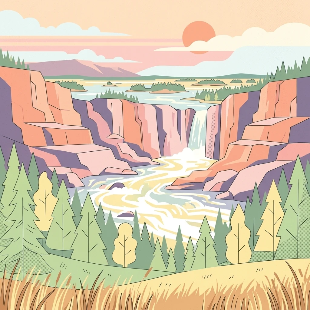
Stylized illustration of a river flowing through rocky cliffs with a waterfall, surrounded by forests and grassy fields under a sunset sky

Riverine wetlands and old-growth forests at Sweden's ecological north-south frontier

Färnebofjärden National Park

Färnebofjärden National Park is a Swedish national park situated along the Dalälven River approximately 140 kilometers north of Stockholm, spanning the borderlands between the historical regions of Svealand and Norrland. Established in 1998, the park encompasses over 10,100 hectares of diverse landscapes including river channels, wetlands, islands, and forests, with roughly 4,100 hectares being open water. The park occupies a unique position along the ecological frontier known as the Limes Norrlandicus, where northern and southern species mix, creating exceptional biodiversity. The park's character is defined by the Dalälven River, which winds through a flat terrain dotted with eskers left by the last ice age, creating a distinctive landscape of rapids, wide bays called fjärdar, and over 200 islands and skerries. This hydrographic complexity, combined with the transition between boreal and temperate environments, supports coniferous forests, mixed woodlands, and extensive wetland systems. The floodplain experiences dramatic spring flooding that reshapes the landscape and sustains the ecological processes upon which the park's biodiversity depends. Färnebofjärden holds significant conservation recognition as both a Ramsar-designated wetland and part of the European Natura 2000 network. The Lower Dalälven region was designated as a UNESCO biosphere reserve in 2011. The park is particularly renowned for its bird populations, especially woodpeckers and owls, with the Ural owl serving as the park's symbolic species. Its combination of protected riverine habitats, old-growth forests, and position at a biological crossroads makes it one of Sweden's most ecologically significant protected areas.

Location
Sweden
Park type
National park
Established
1998
Area
101 km²
Färnebofjärden National Park Protected Landscape

Compare Färnebofjärden National Park observations across time and distance

Search historical earthquake records near Färnebofjärden National Park

Färnebofjärden National Park earthquake entries are related by epicentres and park distance, not verified occurrence inside the boundary. Dates, magnitudes, depths, locations, distance readings, and sources support historical inquiry without attributing park effects, claiming seismic cause, identifying present hazard, or predicting events.

Sort by
Magnitude
Location

This page describes catalogued earthquakes associated with the park by epicentre location and distance. It does not establish causation, assess current danger, or predict future earthquakes.

No earthquake records match the current filters

Park atlas

Go beyond Färnebofjärden National Park earthquake history

Explore more protected parks after Färnebofjärden National Park

After the Färnebofjärden National Park earthquake catalogue, an independent selection opens other protected park routes. These links do not imply shared national-park status, landscapes, earthquake evidence, geological context, closeness, seismic importance, hazards, risk, or the same record scope.
Watercolor painting of a grassy field with trees and a soft sky
National parkStockholm County
122 km away#1 closest

Southeast

Ängsö National Park: Flower-Rich Cultural Landscape in Stockholm County's Archipelago

Mapped protected area and historic island geography

Ängsö National Park, a protected national park in Stockholm County, offers a rare glimpse into a flower-rich cultural landscape shaped by history and nature. The island's mapped boundaries encompass idyllic meadows, mature deciduous forests, and a unique archipelago setting. MoriAtlas highlights its significance as one of Sweden's earliest national parks, providing context for its distinctive natural terrain and protected landscape identity within the Roslagen region.

Area
1.68 km²
Established
1909
IUCN
II
Relief
Lowland
National parkStockholm County
About 134 km away#2 closest

Southeast

Tyresta National Park: Explore Protected Old-Growth Forest and Rift Valley Landscape

Stockholm County National Park, Sweden

Tyresta National Park stands as a crucial protected area, showcasing one of southern Sweden's largest expanses of old-growth coniferous forest, featuring trees up to 400 years old. Its distinctive rift valley terrain, lakes, and post-fire recovery zones offer a rich geographic profile for atlas exploration. Within Stockholm County, this national park provides essential context for understanding the preservation of ancient forest ecosystems and unique geological formations.

Area
20 km²
Established
1993
IUCN
II
Relief
Mixed relief
Watercolor illustration of a forest landscape with pink flowers, green trees, and a yellow sky
National parkÖrebro County
137 km away#3 closest

Southwest

Garphyttan National Park: Pioneer Protected Landscape and Historic Swedish Terrain

Explore meadows, forests, and historic geography in Örebro County.

Garphyttan National Park, established in 1909, is a testament to early Swedish nature conservation efforts. This protected landscape features rolling forested terrain and distinctive flower-rich meadows, maintained through traditional practices that highlight Sweden's cultural heritage. Located within Örebro County, the park offers valuable insights into regional geography and the formation of mapped protected areas, making it a key destination for understanding historical landscape preservation.

Area
1.11 km²
Established
1909
IUCN
II
Relief
Lowland
Watercolor illustration of a lake surrounded by trees and distant hills with a soft sky
National parkGävleborg County
191 km away#4 closest

Northwest

Hamra National Park: Ancient Forests, Mires, and Protected Landscape in Gävleborg County

Discover pristine Swedish nature and mapped park boundaries.

Hamra National Park in Gävleborg County, Sweden, protects an extraordinary natural landscape. At its heart lies a distinct moraine hill adorned with some of central Sweden's oldest coniferous trees, some reaching 400 years. Surrounding this ancient forest is a vast, unbroken expanse of mire and wetland, a landscape preserved from drainage and modification. This park offers a profound insight into pristine ecosystems and geographic context, making it a key destination for atlas exploration of protected natural areas.

Area
13.83 km²
Established
1909
IUCN
II
Relief
Lowland
Watercolor illustration of a forest landscape with rocks, trees, and distant hills
National parkSweden
192 km away#5 closest

Southwest

Tiveden National Park: Sweden's Protected Granite Landscape and Ancient Forest

Explore protected wilderness, fracture valleys, and geological heritage.

Tiveden National Park is a protected area in southern Sweden renowned for its ancient forests and rugged granite landscape. The park's terrain features deep fracture valleys, formed by ancient geological events, and stands as one of the last large remnants of older forest in the region. Discover the park's unique topography, mapped boundaries, and its significance as a protected natural landscape for atlas-based exploration.

Area
20.3 km²
Established
1983
IUCN
II
Relief
Mixed relief
Watercolor illustration showing a coastal landscape with small islands, green vegetation, and calm water
National parkFinland
228 km away#6 closest

East

Archipelago National Park: Mapped Protected Landscape and Geographic Context in Finland

Explore protected area boundaries and natural terrain.

Archipelago National Park represents a vital component of Finland's protected lands. This page serves as an atlas-focused entry point, detailing the park's specific geographic context, its mapped protected area boundaries, and the nature of its landscape. Understand how this national park contributes to the broader regional geography of Finland and the Nordic region, aiding structured discovery through maps and geographic data.

Area
500 km²
Established
1983
IUCN
II
Visitors
78.8K annual
Watercolor painting of a coastal landscape featuring rocky shore, trees, and distant island under pink and blue sky
National parkVästra Götaland County
228 km away#7 closest

Southwest

Djurö National Park: Sweden's Lake Archipelago National Park in Västra Götaland County

Mapped island geography and protected aquatic landscapes.

Djurö National Park stands as a singular example of Sweden's protected natural areas, characterized by its unique position as a national park comprising a complete archipelago within Lake Vänern. This page focuses on the geographic identity of Djurö National Park, detailing its island distribution, protected land status, and the distinct landscape it preserves. Users will find context for its place within Västra Götaland County, facilitating an atlas-based understanding of this exceptional aquatic environment and its mapped boundaries.

Area
24 km²
Established
1991
IUCN
II
Relief
Mixed relief
Watercolor illustration showing a coastal landscape with green vegetation in the foreground, light-colored water or sand in the middle ground, and pastel sky colors in the background
National parkSweden
234 km away#8 closest

Southeast

Gotska Sandön National Park: Unique Baltic Island Protected Landscape & Dune Atlas

Mapped geography and ancient pine forests on a Swedish island.

Delve into Gotska Sandön National Park, a distinct national park encompassing an entire Baltic island renowned for its significant sand dune systems and ancient pine forests. This protected area showcases a rare sandy island ecosystem and a unique landscape shaped by coastal influences. MoriAtlas provides structured geographic context to understand the mapped boundaries and natural terrain of Gotska Sandön, highlighting its role as a vital protected natural landscape in the Scandinavian region.

Established
1963
IUCN
II
Scope
Terrestrial
Water
Minor water
MoriAtlas Explorer

Continue Exploring Färnebofjärden National Park's Riverine Geography

Delve deeper into the mapped terrain and protected landscape of Färnebofjärden National Park. Understand its significance as a vital riverine ecosystem and a key area for birdlife within the broader geography of Västmanland County. Use MoriAtlas to navigate this protected area's features and its place in the regional atlas.