Mori Atlas logo
Park earthquake history

Review documented seismic events, epicentre distances, and magnitude records for the surrounding region

Recorded Historical Earthquake Activity Associated with Frank Hann National Park Geography

This historical collection archives seismic activity data linked by proximity to the landscape of Frank Hann National Park in Western Australia. The catalogue provides structured details for recorded earthquake events, including magnitude, depth, and calculated distance from the park boundaries. Access these records to analyze regional seismic trends and the historical frequency of earth movements observed within the broader Eastern Mallee bioregion context.

Related tags

Heathland ReserveWestern AustraliaSemi-arid WildernessMallee EcosystemsWildflower Displays

A vast inland heathland reserve in Western Australia's wheatbelt, protecting diverse mallee and wildflower ecosystems.

Frank Hann National Park

Frank Hann National Park is a protected area in the southern wheatbelt region of Western Australia, situated approximately 428 kilometres east-southeast of Perth near the township of Lake King within the Shire of Lake Grace. Established in 1970 and named after Frank Hann, an early explorer of the district, the park covers an area of 675.5 square kilometres across the Eastern Mallee bioregion. The reserve sits on an extensive inland sandplain, predominantly composed of heathland and scrubland habitats that support remarkable biodiversity. This relatively remote park offers visitors an authentic experience of Western Australia's semi-arid interior landscapes, though it operates without visitor facilities or entrance fees, appealing to those seeking untouched natural environments.

Location
Australia
Park type
National park
Established
1970
Area
675.5 km²
Frank Hann National Park Atlas

Navigate Frank Hann National Park events by place, depth, and distance

Examine historical earthquake observations near Frank Hann National Park

Frank Hann National Park’s earthquake view relates reported epicentres to its Western Australian sandplain by calculated park distance, without assigning seismic meaning to heathland, scrub, or mallee. Dates, magnitudes, depths, localities, sources, and distance values make the historical records comparable without implying occurrence inside the park, ecological effects, or current risk.

Sort by
Magnitude
Location

This page describes catalogued earthquakes associated with the park by epicentre location and distance. It does not establish causation, assess current danger, or predict future earthquakes.

No earthquake records match the current filters

Park atlas

Expand beyond Frank Hann National Park historical earthquake data

Browse further protected parks after Frank Hann National Park

Frank Hann National Park's earthquake catalogue closes before discovery expands from its Western Australian mallee and semi-arid heathland to other protected destinations. The next pages do not imply shared national-park status, vegetation, proximity, geology, seismic observations, hazards, risk, wildflower context, or comparable information coverage.
National parkWestern Australia
31 km away#1 closest

East

Peak Charles National Park: A National Park in Western Australia's Mapped Landscape

Discover its protected area status and geographic setting.

Peak Charles National Park is a vital component of Western Australia's protected natural areas. This dedicated page provides an atlas-centric view, focusing on the park's geographic scope, its mapped boundaries, and the surrounding regional landscape context. It serves as an essential resource for understanding the park's protected land identity and its contribution to the broader geography of Western Australia.

Area
399.59 km²
Established
1979
IUCN
II
Relief
Mountain
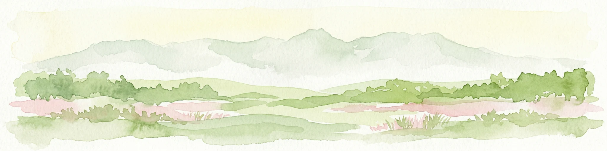
Watercolor illustration showing mountains in the background, green vegetation, and pink meadows
National parkWestern Australia
70 km away#2 closest

Southwest

Fitzgerald River National Park: A Western Australian Protected Landscape of Global Botanical Importance

Discover its mapped terrain, endemic flora, and UNESCO Biosphere Reserve status.

Fitzgerald River National Park stands as a protected landscape of immense ecological value in Western Australia. This national park is celebrated for its extraordinary botanical diversity, featuring more endemic plant species than any other conservation reserve in Australia. Its varied terrain, from rugged mountain ranges to coastal cliffs, provides a rich tapestry of natural habitats. As a designated UNESCO Biosphere Reserve, it offers a unique opportunity to explore mapped geographic features and understand the critical role of protected areas in conserving rare flora and distinct Mediterranean ecosystems.

Area
2,972.11 km²
Established
1973
IUCN
II
Visitors
40K annual
Marine protected areaWestern Australia
103 km away#3 closest

Southeast

South-west Corner Marine Park: An Atlas of Deep-Sea Landscapes and Marine Protected Areas

Western Australia offshore marine and seabed geography

South-west Corner Marine Park represents one of the most ecologically diverse marine reserves in Australian Commonwealth waters. Stretching from the coast of Western Australia into the depths of the Southern Ocean, the park protects unique underwater terrain including extensive reef systems, submarine canyons, and isolated plateaus. This area serves as a primary migratory corridor for whales and provides a vital, mapped environment for threatened shark and seabird populations within the regional marine food web.

Area
271,833 km²
Established
2013
Climate
Temperate
Access
Remote access
National parkWestern Australia
109 km away#4 closest

Southeast

Stokes National Park National Park: Mapped Boundaries and Regional Geography

Western Australia's protected landscape identity.

Stokes National Park represents a significant protected entity within the expansive geography of Western Australia. This detailed page provides users with essential mapping information, focusing on the park's designated boundaries and its role within the broader atlas of Australian conservation landscapes. Explore the specific geographic context that defines this national park and understand its natural landscape features.

Area
97.26 km²
Established
1976
IUCN
II
Relief
Lowland
Marine protected areaWestern Australia
111 km away#5 closest

South

Bremer Marine Park: An Offshore Atlas of Western Australia's Protected Marine Geography

Submarine canyon mapping and regional marine environment

Bremer Marine Park protects a vast, complex submarine landscape off the south coast of Western Australia. Dominated by the deep Bremer Canyon system, this protected area serves as a primary hub for studying deep sea geomorphology, coral gardens, and the nutrient-rich upwelling processes that define this unique section of the Southern Ocean.

Area
4,472 km²
Established
2013
IUCN
II
Relief
Mixed relief
National parkGoldfields-Esperance
147 km away#6 closest

North

Goldfields Woodlands National Park: Explore Protected Area Geography and Mapped Boundaries

Discover the mapped landscape context of this national park.

Delve into Goldfields Woodlands National Park, a key protected area within the Goldfields-Esperance region. This resource provides detailed atlas-style information, focusing on the park's mapped geography, its protected status, and its role within the broader regional landscape. Understand its specific topographic features and its place in the natural atlas.

Area
646.28 km²
Established
2000
Climate
Arid
Scope
Terrestrial
Nature reserveWestern Australia
152 km away#7 closest

Southwest

Beringa Reserve Nature Reserve: Western Australia Protected Woodland Geography

Restoration landscapes and riparian corridors near Peniup Creek

Beringa Reserve serves as a significant private nature reserve in Western Australia, focusing on the restoration of eucalyptus woodland and mallee heath. This landscape acts as a functional buffer within the Gondwana Link, protecting riparian vegetation along Peniup Creek and fostering the recovery of native mammal habitats through intensive revegetation efforts.

Area
25.06 km²
Established
2007
Relief
Lowland
Climate
Mediterranean
National parkWestern Australia
161 km away#8 closest

North

Boorabbin National Park: Exploring Western Australia's National Park Landscape and Boundaries

Mapped protected area context within Western Australia's geography.

Boorabbin National Park represents a distinct protected landscape within the expansive geography of Western Australia. This entry provides focused insight into the park's identity as a national park, highlighting its specific mapped boundaries and its contribution to the regional atlas of protected areas. Understanding Boorabbin National Park's geographic setting allows for a deeper appreciation of Western Australia's natural terrain and conservation efforts.

Area
281.53 km²
Established
1977
IUCN
II
Relief
Upland
MoriAtlas Explorer

Continue Exploring Frank Hann National Park's Protected Landscape and Regional Geography

Deepen your understanding of Frank Hann National Park by delving into its specific geographic features and mapped protected area status. This detailed view supports structured atlas exploration, allowing you to grasp the park's unique landscape identity and its place within the wider geography of Western Australia. Continue your discovery of this significant conservation area.

Global natural geography