Mori Atlas logo
Protected landscapeGrădiștea Muncelului-Cioclovina Natural Park

Understand the mapped boundaries and regional setting of this protected area in Hunedoara County.

Grădiștea Muncelului-Cioclovina Natural Park: Protected Landscape Geography & Atlas Context

Grădiștea Muncelului-Cioclovina Natural Park is a designated protected landscape in Romania, situated within Hunedoara County. This page provides a detailed geographic overview, focusing on its mapped boundaries and the surrounding natural terrain. Explore how this protected area fits into the regional landscape context of western Romania, offering an atlas-driven perspective for discovery and understanding of its protected status.

Carpathian MountainsKarst LandscapeNature ParkRomaniaCaves and CanyonsProtected Landscape

Grădiștea Muncelului-Cioclovina Natural Park

Protected landscape

Park overview

Structured park overview, official facts, and landscape profile for Grădiștea Muncelului-Cioclovina Natural Park

Grădiștea Muncelului-Cioclovina Natural Park park facts, protected area profile, and essential visitor context
Review the core facts for Grădiștea Muncelului-Cioclovina Natural Park, including designation, size, terrain, visitor scale, habitats, and operating context in one park-focused overview.

About Grădiștea Muncelului-Cioclovina Natural Park

Grădiștea Muncelului-Cioclovina Natural Park occupies a substantial area of mountainous terrain in the Șureanu Mountains, a subrange of the Southern Carpathians in Romania. The park's landscape is characterized by its rugged terrain, where forested slopes give way to open pastures and meadows in the higher elevations. The geological character of the area is dominated by karst formations, which have developed over millennia through the dissolution of limestone bedrock by groundwater. This process has created an extensive network of caves, sinkholes, underground passages, and surface canyons that define much of the park's distinctive character. The Crivadia Canyon represents one of the most visually dramatic features, where the river has carved a deep gorge through the karst landscape. Within the park's boundaries, several specific protected areas have been designated to preserve the most significant geological and ecological features, including the karstic complex, individual cave systems, and the fossil reserve.

Quick facts and research context for Grădiștea Muncelului-Cioclovina Natural Park

This IUCN Category V protected landscape sits in the central-southern part of Hunedoara County, spanning the administrative territories of Baru, Boșorod, Bănița, Orăștioara de Sus, and Pui communes. The park protects a mountainous landscape combining forest-covered slopes with karst formations. Within its boundaries lie several significant protected sites including the Ponorâci-Cioclovina Karstic Complex, multiple cave systems such as Tecuri Cave, Șura Mare Cave, and Bolii Cave, the Crivadia Canyon, and the Ohaba-Ponor Fossil Reserve. The nearest settlement is Petrila.

Park context

Deeper park guide and search-rich context for Grădiștea Muncelului-Cioclovina Natural Park

Grădiștea Muncelului-Cioclovina Natural Park history, landscape, wildlife, and travel context
Explore Grădiștea Muncelului-Cioclovina Natural Park through its history, landscape character, ecosystems, wildlife, conservation priorities, cultural context, and seasonal travel timing in a structured park guide built for atlas discovery and search intent.

Why Grădiștea Muncelului-Cioclovina Natural Park stands out

Grădiștea Muncelului-Cioclovina Natural Park is best known for its outstanding karst landscape, which distinguishes it among Romania's protected areas. The park shelters a remarkable concentration of caves, including the extensive Ponorâci-Cioclovina Karstic Complex, alongside the Tecuri, Șura Mare, and Bolii cave systems. The Crivadia Canyon cuts dramatically through the limestone terrain, while the Fossil Reserve Ohaba-Ponor preserves important geological specimens. The combination of forested mountain slopes, open alpine pastures, and these exceptional karst and canyon formations creates a distinctive protected landscape that supports both ecological diversity and significant geological heritage.

Grădiștea Muncelului-Cioclovina Natural Park history and protected-area timeline

The Grădiștea Muncelului-Cioclovina Natural Park was officially established through Law Number 5 on March 6, 2000, with its designation formally published in the Romanian Official Paper on April 12, 2000. However, the park's protected status traces back to 1979, when initial protective measures were first applied to the area. This long-standing protection reflects the recognition of the region's ecological and geological significance within Romania's protected areas system. The park's designation as an IUCN Category V protected landscape indicates its role in preserving a landscape where natural processes continue alongside sustainable human activities, maintaining the area's traditional character while ensuring the long-term protection of its natural values.

Grădiștea Muncelului-Cioclovina Natural Park landscape and geographic character

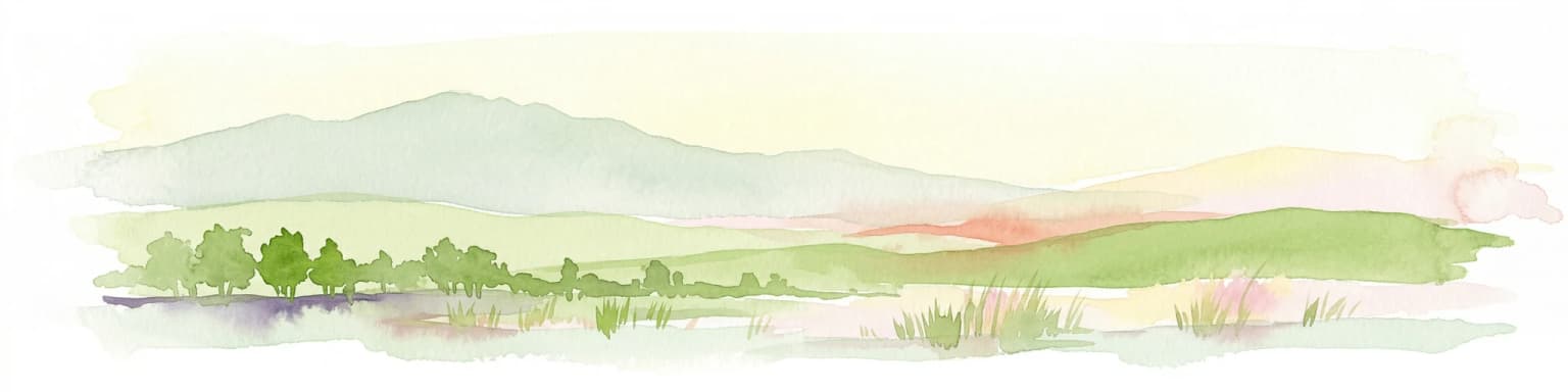
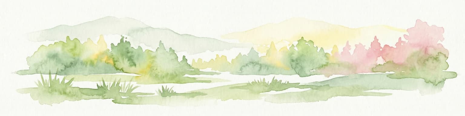
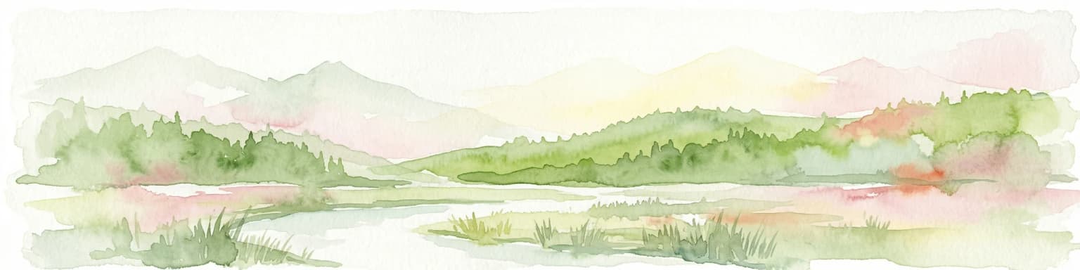
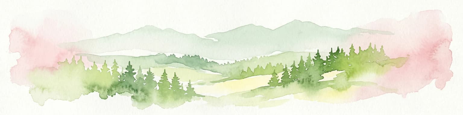
The landscape of Grădiștea Muncelului-Cioclovina Natural Park is defined by its position within the Șureanu Mountains, presenting a characteristic Carpathian mountain environment shaped by both geological and ecological processes. The terrain ranges from forested lower slopes, where mixed deciduous and coniferous forests cover the hillsides, to alpine meadows and pastures that open up at higher elevations. The most distinctive geological features are the karst formations that dominate significant portions of the park. Limestone outcrops have been carved by water into a complex landscape of caves, canyons, and surface karst features. The Crivadia Canyon provides a dramatic contrast to the more gentle mountain ridges, while the various cave systems represent hidden underworlds of stalactites, stalagmites, and other speleological formations. Valleys traverse the park, connecting these diverse landscape elements and providing corridors for both water and wildlife movement.

Grădiștea Muncelului-Cioclovina Natural Park ecosystems, habitats, and plant life

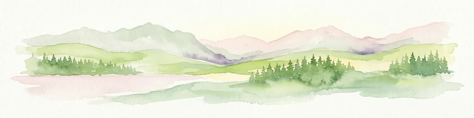
The nature of Grădiștea Muncelului-Cioclovina Natural Park reflects the Carpathian ecological character, with vegetation zones that follow the elevation gradient from forested slopes to alpine meadows. The forests of the lower and middle elevations include both deciduous species and coniferous trees, creating a layered landscape that provides diverse habitats. At higher elevations, the forest gives way to mountain pastures and meadows that support different plant communities adapted to the cooler, more exposed conditions. The karst areas host specialized habitats both above and below ground, with cave systems providing unique environments for troglobitic species adapted to perpetual darkness. The combination of forest, grassland, and karst habitats creates a mosaic of ecological communities that contributes to the overall biodiversity of the protected area.

Grădiștea Muncelului-Cioclovina Natural Park conservation status and protection priorities

As an IUCN Category V protected landscape, Grădiștea Muncelului-Cioclovina Natural Park represents a conservation approach that maintains the balance between natural protection and traditional land use. The park preserves both ecological values, including forest ecosystems and biodiversity, and geological heritage, particularly the significant karst formations and fossil deposits. The designation of specific protected sites within the park, such as the karstic complex, individual caves, canyon areas, and the fossil reserve, reflects a targeted approach to preserving the most vulnerable or significant features. This structured protection ensures that the geological processes and formations that make the area unique are maintained for future study and appreciation.

Top sights and standout views in Grădiștea Muncelului-Cioclovina Natural Park

The park's highlights center on its exceptional karst landscape, which is among the most significant in Romania. The Ponorâci-Cioclovina Karstic Complex represents a major underground system, while the individual caves including Tecuri, Șura Mare, and Bolii each offer distinct speleological features. The Crivadia Canyon provides a spectacular surface landscape where water has carved through limestone to create a dramatic gorge. The Ohaba-Ponor Fossil Reserve preserves important paleontological specimens within the park's boundaries. Together with the forested mountain slopes and alpine meadows, these features create a protected landscape of considerable diversity and scientific value.

Park location guide

Geography guide, regional context, and park location map for Grădiștea Muncelului-Cioclovina Natural Park

Grădiștea Muncelului-Cioclovina Natural Park park geography, regions, and map view in Romania
Understand where Grădiștea Muncelului-Cioclovina Natural Park sits in Romania through a broader geographic reading of the surrounding landscape, nearby location context, and its mapped position within the national park landscape.

How Grădiștea Muncelului-Cioclovina Natural Park fits into Romania

Romania is a unitary semi-presidential republic located in Southeast and Central Europe. It borders Ukraine, Hungary, Serbia, Bulgaria, Moldova, and the Black Sea. The country has a population of approximately 19 million and covers an area of 238,397 km². Bucharest is the capital and largest city. Romania joined the European Union in 2007.

Wider geography shaping Grădiștea Muncelului-Cioclovina Natural Park in Romania

Romania lies on the lower course of the Danube River, north of the Balkan Peninsula, and on the northwestern shore of the Black Sea. The terrain is varied, featuring the Carpathian Mountains in the center, the Transylvanian Plateau, the Moldavian Plateau, and plains along the Danube and in the south. The country has a diverse landscape that includes forests, meadows, and wetland areas.

Map view of Grădiștea Muncelului-Cioclovina Natural Park

Use this park location map to pinpoint Grădiștea Muncelului-Cioclovina Natural Park in Romania, understand its exact geographic position, and read its mapped placement within the surrounding landscape more clearly.

Pigeon | © OpenStreetMap contributors

Location context for Grădiștea Muncelului-Cioclovina Natural Park

Hunedoara County
Park atlas

Explore adjacent protected landscapes and mountain forests, charting the regional park geography of Hunedoara County.

Explore Other Protected Areas Near Grădiștea Muncelului-Cioclovina Natural Park
Browse national parks and protected areas geographically adjacent to Grădiștea Muncelului-Cioclovina Natural Park, expanding your exploration of Hunedoara County's distinct protected landscapes. Compare their unique karst formations, mountain forests, and conserved ecosystems to deepen your atlas-style understanding of Romania's natural heritage.
National parkGorj County

Defileul Jiului National Park: Romania's Protected National Park Landscape in Gorj County

Explore maps, geography, and protected area context.

Defileul Jiului National Park is a vital protected natural area situated in Gorj County, Romania. This MoriAtlas page serves as a detailed entry point for understanding the park's specific geography, its mapped perimeters, and its significance within the regional landscape atlas. Discover the park's topographic features and its relationship to the surrounding terrain of the Southern Carpathians, providing essential context for geographic exploration.

Area
111.27 km²
Established
2005
IUCN
II
Relief
Mountain
Watercolor illustration of a mountain range with forests, a lake, and distant hills under a light sky
National parkHunedoara County

Retezat National Park National Park: Protected Landscape and Regional Geography

Mapped boundaries and landscape context in Hunedoara County.

Retezat National Park is a key protected area featured within MoriAtlas, offering structured geographic data and map-based insights. This national park's protected landscape is situated in Hunedoara County, Romania, contributing significantly to the regional topography and natural context of the Southern Carpathians. Explore its mapped boundaries and understand its role as a distinct natural entity.

Area
380.47 km²
Established
1935
IUCN
II
Relief
Mountain
Watercolor illustration of a landscape with mountains, trees, and a river
Protected landscapeSibiu County

Cindrel Natural Park: Protected Landscape within Sibiu County's Regional Geography

Mapped natural landscapes and protected area context.

Delve into the protected landscape of Cindrel Natural Park, situated in Sibiu County, Romania. This page offers a detailed geographic perspective, highlighting the park's mapped boundaries and its role within the broader natural terrain of the Southern Carpathians. Understand the structured atlas data that defines Cindrel Natural Park and its regional significance for protected land discovery.

Area
98.73 km²
Established
2000
IUCN
V
Relief
Mountain
Protected landscapeSibiu County

Dumbrava Sibiului Natural Park: Protected Landscape Atlas and Geographic Discovery

Explore the mapped natural terrain and regional context.

Dumbrava Sibiului Natural Park is a designated protected landscape offering a unique lens into Romania's natural geography. This entry provides detailed atlas-level information on the park's protected boundaries and its setting within Sibiu County, part of the historic Transylvania region. Understand the park's landscape character and its role in the regional geography through structured map data.

Area
9.93 km²
Established
2000
IUCN
V
Relief
Lowland
National park

Domogled-Valea Cernei National Park: National Park with Mapped Protected Landscape

Explore its protected boundaries and regional geography.

Domogled-Valea Cernei National Park is recognized as a National Park, offering a distinct protected landscape for atlas-based discovery. This page provides focused insights into its mapped geographic extent and the character of its natural terrain. Understand the park's role within Romania's protected areas network and its unique geographic identity. Utilize this structured view to navigate the park's features and its surrounding landscape context for informed exploration.

Area
612.11 km²
Established
2000
IUCN
II
Relief
Mountain
National parkVâlcea County

Buila-Vânturarița National Park: Romania's National Park in Vâlcea County Geography

Mapped protected landscape within Vâlcea County.

Delve into the specifics of Buila-Vânturarița National Park, a designated national park in Vâlcea County, Romania. This detailed entry focuses on its protected landscape identity and geographic placement, offering precise mapped boundary information relevant for atlas exploration. Understand how this national park contributes to the regional geography and protected area network, providing a foundational element for structured discovery of Romania's natural environments.

Area
41.86 km²
Established
2005
IUCN
II
Relief
Mountain
Watercolor painting showing green hills, trees, and a river
National parkVâlcea County

Cozia National Park: Protected Landscape and Regional Geography in Vâlcea County

Discover the mapped protected area in Romania's landscape.

Cozia National Park is a key national park situated within Vâlcea County, Romania. This page facilitates the exploration of its protected landscape, offering detailed insights into its geographic context and mapped features. Understand how Cozia National Park contributes to the regional geography and atlas of Romania's protected areas, providing a foundation for structured landscape discovery.

Area
171 km²
Established
2000
IUCN
II
Relief
Mountain
Watercolor illustration showing rolling hills, scattered trees, and a soft pink sky
Protected landscapeMehedinți County

Mehedinți Plateau Geopark Protected Landscape: Karst Geography and Regional Context

Explore Romania's unique limestone formations and karst landscapes.

The Mehedinți Plateau Geopark in Mehedinți County, Romania, is a significant protected landscape celebrated for its extensive karst features. This page offers detailed insights into the park's mapped boundaries, including its famous natural bridges like Podul lui Dumnezeu, vast limestone pavements, and cave systems. Understand its position within the broader regional geography of southwestern Romania, providing a solid foundation for atlas-driven exploration of this geologically rich area.

Area
1,065 km²
Established
2005
IUCN
V
Relief
Upland

Common questions about visiting, size, designation, and location context for Grădiștea Muncelului-Cioclovina Natural Park

Grădiștea Muncelului-Cioclovina Natural Park FAQs for park facts, access, geography, and protected area context
Find quick answers about Grădiștea Muncelului-Cioclovina Natural Park, including protected-area facts, park geography, trail and visitor context, and how the park fits into its surrounding country and regional landscape.
MoriAtlas Explorer

Continue Your Protected Areas Search Across the Global Atlas

Deepen your exploration by continuing the structured search for national parks and protected areas worldwide. Utilize the comprehensive filtering capabilities to compare different conservation landscapes and refine your understanding of global park geography. Discover more about the distribution and characteristics of protected natural areas.

Global natural geography