Mori Atlas logo
Protected landscapeCindrel Natural Park

Atlas exploration of mapped protected areas and natural landscapes within Romania.

Cindrel Natural Park: Protected Landscape Geography and Map Context in Sibiu County

(Parcul Natural Cindrel)

MoriAtlas provides a structured geographic view of Cindrel Natural Park, a protected landscape situated within Sibiu County, Romania. Users can explore the park's mapped boundaries, understand its regional geographic context within the Southern Carpathians, and discover its place in the broader atlas of protected areas. This page serves as the definitive entry point for understanding the specific natural landscape and mapped terrain of Cindrel Natural Park.

Carpathian MountainsNature ParkProtected LandscapeOld-Growth ForestsGlacial LakesAlpine Meadows
Illustrated landscape with green mountains, forests, and a yellow sun setting over the horizon

Cindrel Natural Park

Protected landscape

Park overview

Structured park overview, official facts, and landscape profile for Cindrel Natural Park

Cindrel Natural Park park facts, protected area profile, and essential visitor context
Review the core facts for Cindrel Natural Park, including designation, size, terrain, visitor scale, habitats, and operating context in one park-focused overview.

About Cindrel Natural Park

Cindrel Natural Park occupies a significant position within Romania's protected area network, preserving a substantial portion of the Cindrel Mountains in the Southern Carpathians. The park's territory extends across the administrative boundaries of four communes: Gura Râului, Jina, Rășinari, and Tilișca, encompassing the core high-altitude zones of the range where the most distinctive Carpathian ecosystems are found. The landscape is characterized by its glacial heritage, with U-shaped valleys, cirques, and morainic deposits marking the passage of Pleistocene glaciers that once sculpted these peaks. The park protects a complete altitudinal gradient of Carpathian vegetation, from beech-dominated forests in the lower montane zone through mixed spruce-fir communities to subalpine shrublands and alpine grasslands. This vertical zonation creates a mosaic of habitats that supports remarkable biodiversity, with the park serving as a critical corridor for wildlife movement through the Southern Carpathians. The protection status recognizes both the ecological significance of the Carpathian forest ecosystems and the need to preserve this representative mountain landscape for future generations.

Quick facts and research context for Cindrel Natural Park

Cindrel Natural Park is located in Sibiu County, southern Romania, within the Southern Carpathians (Meridional Carpathians). The park covers 9,873 hectares across the Cindrel and Lotrului mountain ranges, with the highest peaks being Vârful Cindrel at 2,244 meters and Vârful Șteflești at 2,242 meters. The area was established as a protected natural park in 2000 and is part of the European Natura 2000 ecological network. The landscape features glacial topography including cirques, moraines, glacial lakes, and rocky cliffs, along with valleys, springs, and dolines.

Park context

Deeper park guide and search-rich context for Cindrel Natural Park

Cindrel Natural Park history, landscape, wildlife, and travel context
Explore Cindrel Natural Park through its history, landscape character, ecosystems, wildlife, conservation priorities, cultural context, and seasonal travel timing in a structured park guide built for atlas discovery and search intent.

Why Cindrel Natural Park stands out

Cindrel Natural Park is best known for its representative Carpathian mountain landscape with dramatic glacial morphology, extensive old-growth beech and spruce forests, and the distinctive vertical zonation of habitats from montane forests through subalpine zones to alpine meadows. The park protects important populations of large carnivores including brown bear, gray wolf, and Eurasian lynx, as well as chamois in the rocky alpine zones. Its designation as part of Natura 2000 reflects the presence of rare Carpathian forest ecosystems and the conservation significance of its biodiversity.

Grassy meadow with tall green grass in foreground, metal signpost, and forested mountain hills under a partly cloudy sky
Grassy hillside with forested mountains in the background near Rasinari, Romania

Cindrel Natural Park history and protected-area timeline

Cindrel Natural Park was established in 2000 through Law No. 5 of March 6, 2000, which approved the National Territory Planning Plan Section III on Protected Areas. This legislation designated the area as a natural park within Romania's national protected areas system, recognizing its ecological and landscape values. The park's establishment came during a period of significant expansion of Romania's environmental protection framework in the late 1990s and early 2000s, which sought to bring the country's conservation legislation in line with European standards. Subsequent to its designation, the park was incorporated into the Natura 2000 network of protected areas, specifically as part of the Frumoasa Site of Community Importance, which established additional European-level protection for the site's biodiversity and habitats. The park's management operates within the framework of Romanian protected area legislation, with administrative responsibilities shared among local authorities in Sibiu County.

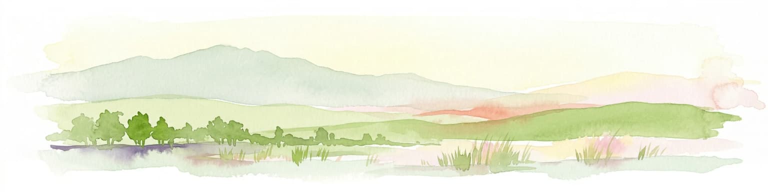
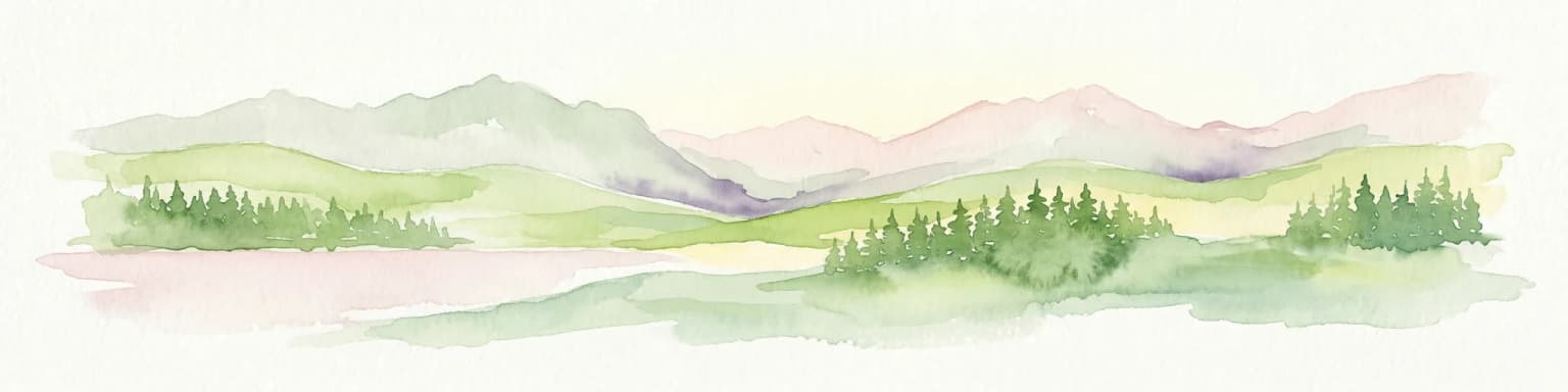
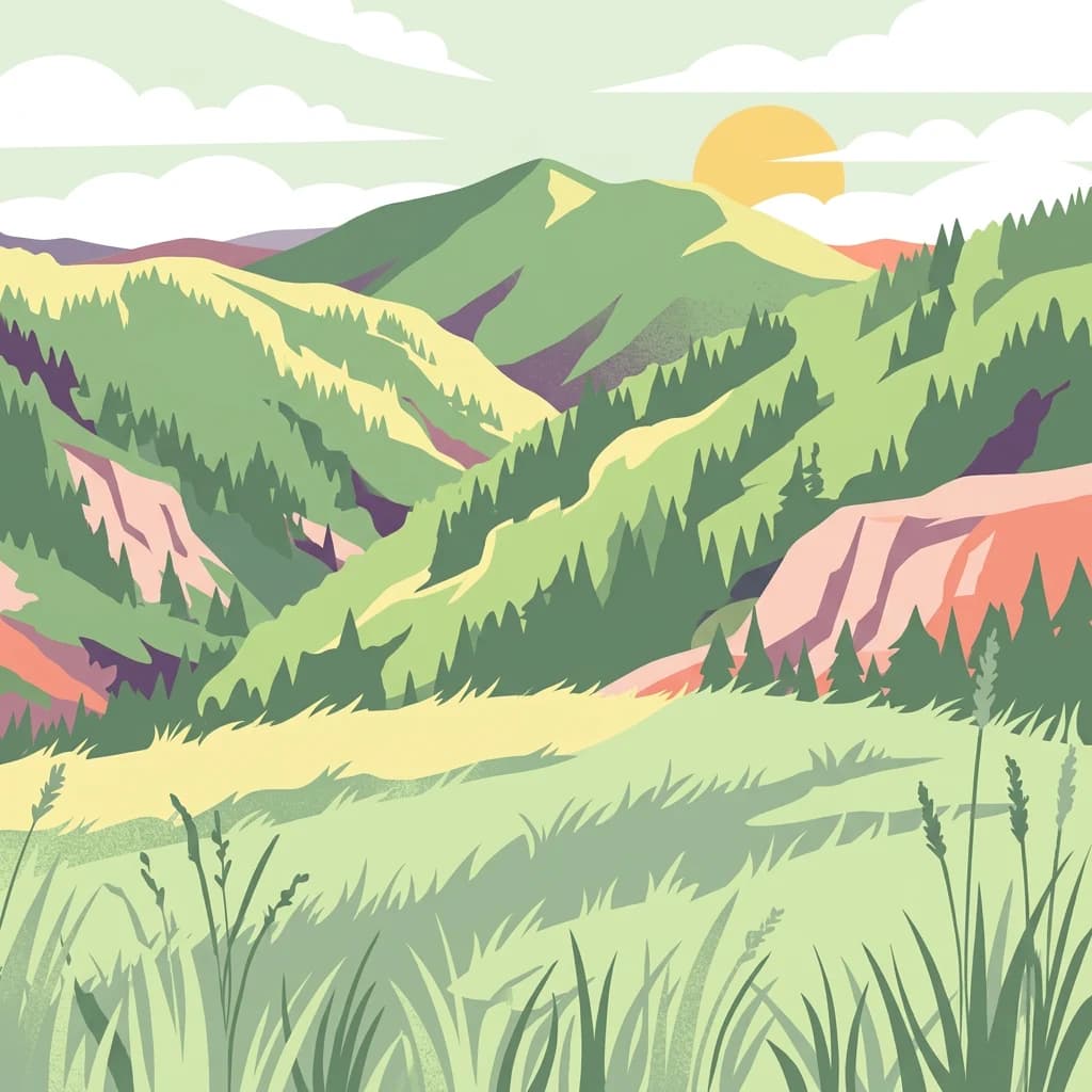
Cindrel Natural Park landscape and geographic character

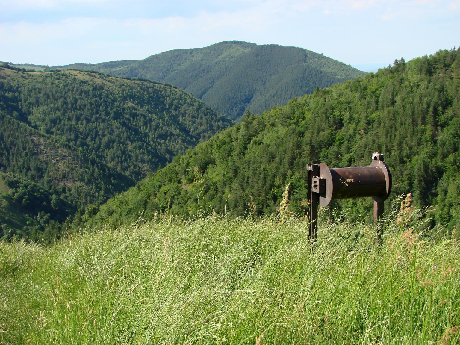
The park's landscape is defined by the mountainous terrain of the Cindrel and Lotrului ranges, which form part of the larger Parâng Mountains group in the Southern Carpathians. The geology is dominated by crystalline rocks that give rise to rugged topography with steep-sided valleys and exposed rock faces. The highest peaks include Vârful Cindrel at 2,244 meters and Vârful Șteflești at 2,242 meters, both of which exceed the treeline and support alpine vegetation. Glacial processes have left a distinctive imprint on the landscape, creating cirques (knife-edge ridges and amphitheater-like valleys), glacial valleys, moraines, and the characteristic U-shaped profiles of former glacier channels. The park contains glacial lakes in the higher terrain, along with numerous springs and streams that drain the catchments. Dolines and karst features are present where limestone occurs within the largely crystalline substrate. The overall terrain is characterized by dramatic elevation changes, with ridges and peaks contrasting with the valley floors, creating a visually striking mountain landscape typical of the Carpathian high ranges.

Close-up view of a blue flowering plant with green buds and leaves
Close-up of blue Veronica bellidioides flowers with green buds

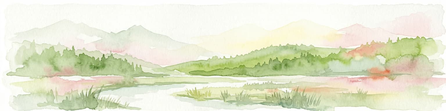
Cindrel Natural Park ecosystems, habitats, and plant life

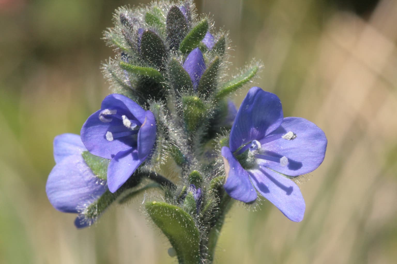
The natural ecosystems of Cindrel Natural Park represent a well-preserved example of Carpathian mountain ecology, with notable vertical zonation from forests through subalpine zones to alpine habitats. The forest ecosystems include several habitat types of conservation significance: Luzulo-Fagetum beech forests on acidic soils, Dacian beech forests of the Symphyto-Fagion alliance, and montane spruce forests within the Vaccinio-Piceetea community. These forest types host diverse tree species including European beech, sessile oak, Norway spruce, and scattered elements such as Swiss stone pine in the subalpine zone. The park also protects areas of boreal and alpine grasslands on silicious substrates, Alpine and subalpine shrublands, and montane meadow communities. The presence of hygrophilous fringe communities along watercourses adds to the habitat diversity. This range of habitats supports the park's ecological significance within the Carpathian mountain system, maintaining ecological processes and species populations across the altitudinal gradient.

Cindrel Natural Park wildlife and species highlights

Cindrel Natural Park supports a diverse fauna characteristic of the Southern Carpathians, with notable populations of large mammals including brown bear, gray wolf, Eurasian lynx, red deer, roe deer, chamois, and wild boar. The chamois population inhabits the rocky zones above the treeline, while the forested areas provide habitat for deer species and wild boar. The predator community includes all three of Europe's large carnivores, with the park providing sufficient habitat connectivity to support viable populations. The avifauna includes several species of conservation importance, particularly forest-dwelling birds such as the hazel grouse and Western capercaillie, both characteristic species of Carpathian old-growth forests. The park also provides habitat for various reptile and amphibian species, including protected amphibians such as yellow-bellied toad and great crested newt. The diverse communities reflect the park's role as a biodiversity reservoir within the Carpathian mountain system.

Cindrel Natural Park conservation status and protection priorities

The park's conservation significance is underscored by its inclusion in the Natura 2000 network, specifically as part of the Frumoasa Site of Community Importance, which provides European-level protection under the Habitats Directive. The protected area framework addresses the preservation of Carpathian forest ecosystems, which are recognized as having high conservation value due to their biodiversity and relatively limited distribution within Europe. The park's multiple habitat types, from beech forests through spruce communities to alpine grasslands, represent a continuum of Carpathian ecosystems that support both common and rare species. The presence of large carnivore populations indicates a relatively intact ecological community with adequate habitat connectivity. Conservation management aims to maintain the natural dynamics of these ecosystems while allowing for sustainable traditional uses that are compatible with conservation objectives.

Cindrel Natural Park cultural meaning and human context

The territory of Cindrel Natural Park is interspersed with traditional rural communities whose cultural practices have shaped the landscape over centuries. The surrounding communes of Gura Râului, Jina, Rășinari, and Tilișca contain historical churches and architectural heritage, including the Church of the Holy Archangels in Tilișca (built in 1782) and the Church of Saint Paraschiva in Gura Râului from the 18th-19th century. The area is associated with the legacy of Metropolitan Andrei ȇaguna, whose tomb is located in Rășinari. Traditional pastoral activities have influenced the subalpine and alpine zones, with mountain pastures supporting transhumance practices that have contributed to the open grassland habitats above the forest limit. The region has literary connections through the poet Octavian Goga, whose memorial house is located nearby.

Top sights and standout views in Cindrel Natural Park

The dramatic glacial landscape of the Cindrel Mountains, with cirques, moraines, and glacial lakes above 2,200 meters, represents one of the most visually striking mountain environments in Romania. The old-growth beech and spruce forests of the Southern Carpathians provide a glimpse of the forest ecosystems that once covered much of Europe's mountains. The presence of brown bear, gray wolf, and Eurasian lynx makes the park significant for large carnivore conservation in Eastern Europe. The vertical zonation of habitats, from valley forests through subalpine zones to alpine meadows, creates ecological diversity within a relatively compact area. The park forms part of a larger protected area network in the Southern Carpathians that maintains connectivity for wildlife populations across the mountain chain.

Best time to visit Cindrel Natural Park

The summer months from June through September offer the most accessible conditions for exploring Cindrel Natural Park, with warm temperatures in the valleys and alpine conditions above the treeline. The winter season transforms the park into a wilderness snowscape, but access is more limited and specialized equipment is required for mountain travel. Spring brings melting snow and flowing streams in the valleys, while autumn offers the opportunity to experience the changing colors of the beech forests and potentially encounter wildlife activity as animals prepare for winter. The higher elevations are snow-free for only a few months each year, making summer the optimal period for experiencing the full range of the park's landscapes and ecosystems.

Park location guide

Geography guide, regional context, and park location map for Cindrel Natural Park

Cindrel Natural Park park geography, regions, and map view in Romania
Understand where Cindrel Natural Park sits in Romania through a broader geographic reading of the surrounding landscape, nearby location context, and its mapped position within the national park landscape.

How Cindrel Natural Park fits into Romania

Romania is a unitary semi-presidential republic located in Southeast and Central Europe. It borders Ukraine, Hungary, Serbia, Bulgaria, Moldova, and the Black Sea. The country has a population of approximately 19 million and covers an area of 238,397 km². Bucharest is the capital and largest city. Romania joined the European Union in 2007.

Wider geography shaping Cindrel Natural Park in Romania

Romania lies on the lower course of the Danube River, north of the Balkan Peninsula, and on the northwestern shore of the Black Sea. The terrain is varied, featuring the Carpathian Mountains in the center, the Transylvanian Plateau, the Moldavian Plateau, and plains along the Danube and in the south. The country has a diverse landscape that includes forests, meadows, and wetland areas.

Map view of Cindrel Natural Park

Use this park location map to pinpoint Cindrel Natural Park in Romania, understand its exact geographic position, and read its mapped placement within the surrounding landscape more clearly.

Pigeon | © OpenStreetMap contributors

Location context for Cindrel Natural Park

Sibiu County

Detailed imagery showcasing the dramatic glacial morphology, old-growth forests, and diverse habitats of this Carpathian protected area.

Cindrel Natural Park Photos: Explore Carpathian Mountain Landscapes and Protected Scenery
Explore captivating Cindrel Natural Park photos to visually grasp its unique Carpathian mountain landscape, characterized by dramatic glacial cirques, high peaks, and extensive old-growth forests. This imagery offers a comprehensive understanding of the park's diverse ecosystems, from alpine meadows to subalpine spruce communities, providing essential context for its protected status and biodiversity.

Grassy meadow with tall green grass in foreground, metal signpost, and forested mountain hills under a partly cloudy sky

Snow-covered field with scattered bushes and distant mountain range under clear blue sky

Close-up view of a blue flowering plant with green buds and leaves

Park atlas

Explore the geographic context of surrounding parks and connected protected landscapes across Sibiu County

Discover Related Protected Areas Near Cindrel Natural Park in Romania
After exploring Cindrel Natural Park's dramatic glacial terrain and old-growth forests, browse other protected areas within Romania's Carpathian Mountains. Compare park geography and ecological diversity across Sibiu County, tracing connected protected landscapes for deeper atlas discovery.
Protected landscapeSibiu County

Dumbrava Sibiului Natural Park: Protected Landscape Atlas and Geographic Discovery

Explore the mapped natural terrain and regional context.

Dumbrava Sibiului Natural Park is a designated protected landscape offering a unique lens into Romania's natural geography. This entry provides detailed atlas-level information on the park's protected boundaries and its setting within Sibiu County, part of the historic Transylvania region. Understand the park's landscape character and its role in the regional geography through structured map data.

Area
9.93 km²
Established
2000
IUCN
V
Relief
Lowland
National parkVâlcea County

Buila-Vânturarița National Park: Romania's National Park in Vâlcea County Geography

Mapped protected landscape within Vâlcea County.

Delve into the specifics of Buila-Vânturarița National Park, a designated national park in Vâlcea County, Romania. This detailed entry focuses on its protected landscape identity and geographic placement, offering precise mapped boundary information relevant for atlas exploration. Understand how this national park contributes to the regional geography and protected area network, providing a foundational element for structured discovery of Romania's natural environments.

Area
41.86 km²
Established
2005
IUCN
II
Relief
Mountain
Protected landscapeHunedoara County

Grădiștea Muncelului-Cioclovina Natural Park: Protected Landscape in Hunedoara County Atlas

Explore protected area geography and mapped boundaries.

Gain a structured understanding of Grădiștea Muncelului-Cioclovina Natural Park, a significant protected landscape located in Romania's Hunedoara County. This resource details its geographic position and mapped protected area extent, providing essential context for atlas exploration and regional landscape analysis. It serves as a focused entry point for understanding the park's unique geographic identity within its natural setting.

Area
381.84 km²
Established
2000
IUCN
V
Relief
Mountain
Watercolor painting showing green hills, trees, and a river
National parkVâlcea County

Cozia National Park: Protected Landscape and Regional Geography in Vâlcea County

Discover the mapped protected area in Romania's landscape.

Cozia National Park is a key national park situated within Vâlcea County, Romania. This page facilitates the exploration of its protected landscape, offering detailed insights into its geographic context and mapped features. Understand how Cozia National Park contributes to the regional geography and atlas of Romania's protected areas, providing a foundation for structured landscape discovery.

Area
171 km²
Established
2000
IUCN
II
Relief
Mountain
National parkGorj County

Defileul Jiului National Park: Romania's Protected National Park Landscape in Gorj County

Explore maps, geography, and protected area context.

Defileul Jiului National Park is a vital protected natural area situated in Gorj County, Romania. This MoriAtlas page serves as a detailed entry point for understanding the park's specific geography, its mapped perimeters, and its significance within the regional landscape atlas. Discover the park's topographic features and its relationship to the surrounding terrain of the Southern Carpathians, providing essential context for geographic exploration.

Area
111.27 km²
Established
2005
IUCN
II
Relief
Mountain
Watercolor illustration of a mountain range with forests, a lake, and distant hills under a light sky
National parkHunedoara County

Retezat National Park National Park: Protected Landscape and Regional Geography

Mapped boundaries and landscape context in Hunedoara County.

Retezat National Park is a key protected area featured within MoriAtlas, offering structured geographic data and map-based insights. This national park's protected landscape is situated in Hunedoara County, Romania, contributing significantly to the regional topography and natural context of the Southern Carpathians. Explore its mapped boundaries and understand its role as a distinct natural entity.

Area
380.47 km²
Established
1935
IUCN
II
Relief
Mountain
National park

Domogled-Valea Cernei National Park: National Park with Mapped Protected Landscape

Explore its protected boundaries and regional geography.

Domogled-Valea Cernei National Park is recognized as a National Park, offering a distinct protected landscape for atlas-based discovery. This page provides focused insights into its mapped geographic extent and the character of its natural terrain. Understand the park's role within Romania's protected areas network and its unique geographic identity. Utilize this structured view to navigate the park's features and its surrounding landscape context for informed exploration.

Area
612.11 km²
Established
2000
IUCN
II
Relief
Mountain
National park

Piatra Craiului National Park: Protected Landscape Atlas and Geographic Context

Explore Romania's unique national park and its mapped terrain.

Navigate the protected geography of Piatra Craiului National Park, a key national park entity. This page details its mapped boundaries and situates its natural landscape within Romania's regional geography, offering a structured point of discovery for geographic atlas enthusiasts. Understand the park's identity as a protected natural area and its contribution to the mapped terrain of the region.

Area
147.66 km²
Established
2000
IUCN
II
Relief
Mountain

Common questions about visiting, size, designation, and location context for Cindrel Natural Park

Cindrel Natural Park FAQs for park facts, access, geography, and protected area context
Find quick answers about Cindrel Natural Park, including protected-area facts, park geography, trail and visitor context, and how the park fits into its surrounding country and regional landscape.
MoriAtlas Explorer

Continue Your Protected Areas Search Across the Global Atlas

Deepen your exploration by continuing the structured search for national parks and protected areas worldwide. Utilize the comprehensive filtering capabilities to compare different conservation landscapes and refine your understanding of global park geography. Discover more about the distribution and characteristics of protected natural areas.

Global natural geography