

Streams
Park geography
A comprehensive analysis of protected landscape features, highland terrain, and riverine environments.
Geographic Profile and Mapped Boundaries of Guy Fawkes River National Park, New South Wales
Examine the detailed geographic configuration of Guy Fawkes River National Park, spanning over 1,000 square kilometers within the New South Wales region of Australia. This profile maps internal relief including extensive plateau and valley systems, alongside documented natural features like Chaelundi Mountain, the Guy Fawkes River, and various scenic viewpoints.
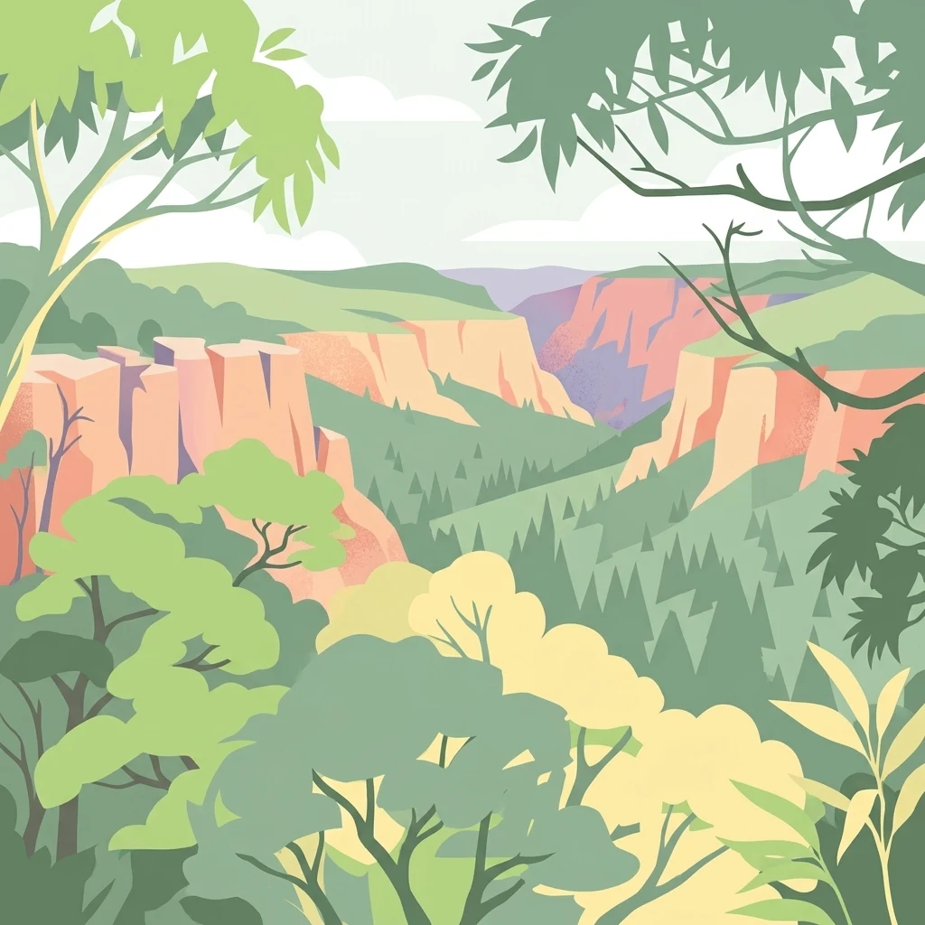
Wilderness landscape of deep gorges and ancient fault lines on the Northern Tablelands
Guy Fawkes River National Park
Guy Fawkes River National Park is a vast wilderness protected area spanning over 1,000 square kilometres along the eastern edge of the New England Tablelands and the western edge of the Dorrigo Plateau in north-eastern New South Wales, Australia. The park encompasses dramatic landscape character where the Guy Fawkes River plunges off the Northern Tablelands at Ebor Falls, carving deeply incised valleys through ancient fault lines. This rugged terrain of steep gorges, steep-sided valleys, and remote wilderness Characterises the park's interior, which remains largely untouched and inaccessible. The area supports over 40 distinct vegetation communities, including significant old-growth forests, making it one of the most botanically diverse protected areas in New South Wales.
- Location
- Australia
- Park type
- National park
- Established
- 1972
- Area
- 1,005.9 km²
Location overview
Administrative placement and regional boundaries within New South Wales
Guy Fawkes River National Park Geographic Setting and Regional Mapping
Guy Fawkes River National Park is situated within the regional borders of New South Wales, Australia. Factual mapping details confirm its status as an entirely inland, non-transboundary terrestrial reserve.
- Countries
- Australia
- Regions
- New South Wales
- Primary location
- New South Wales
- Geographic setting
- Inland
Boundary and coordinates
Spatial extents and calculated area of 1005.9 square kilometers
Guy Fawkes River National Park Boundary Mapping and Extents
Mapped boundary data reveals the spatial footprint of Guy Fawkes River National Park. Corresponding geographic metrics highlight the calculated area of 1005.9 square kilometers alongside coordinate limits.
- Boundary area
- 1,082.4 km²
- Boundary perimeter
- 888.6 km
- Northernmost point
- 29.7706° S
- Southernmost point
- 30.4131° S
- Easternmost point
- 152.3948° E
- Westernmost point
- 152.0102° E
- Geographic centre
- 30.0363° S, 152.2426° E
- North–south span
- 71.2 km
- East–west span
- 37.1 km
Terrain and natural features
Explore recorded highland relief classifications and internal natural features
Guy Fawkes River National Park Terrain and Named Natural Features
Stored highland terrain classifications define the regional relief across the protected landscape. Linked feature cards supply recorded names, types, and spatial relationships for interior streams and viewpoints.
Selected named natural features
Streams
Kangaroo Hills Creek
Viewpoints
Banbai Lookout
Streams
Bough Yard Creek
Streams
Petrogate Creek
Streams
Bullock Creek
Environmental setting
Highland relief, major water systems, and forest habitats
Guy Fawkes River National Park Environmental Classifications
Recorded classifications group highland relief, major water systems, and forest habitats into interpretive categories for the protected landscape. Associated records link these environmental types to related geographic destinations across the park atlas.
- Relief
- Highland
- Water
- Major water bodies
- Forest cover
- Mostly forested
Landscape features
Plateau · Valleys · Cliffs · Forest · Rivers · Waterfalls
Habitat types
Temperate broadleaf forest · Montane forest · Riverine habitat
Park atlas
Map nearby protected areas and national parks to extend your exploration beyond Guy Fawkes River National Park, comparing diverse regional landscapes.
Explore Related National Parks and Protected Areas Near Guy Fawkes River National Park
After exploring Guy Fawkes River National Park's wilderness gorges and old-growth forests, discover other national parks and protected areas that share its regional geography in New South Wales. This curated selection allows for direct comparison of adjacent conservation landscapes, helping you trace the geographic distribution of Australia's remarkable natural heritage.
National parkNorthern Tablelands
Park boundaries overlap#1 closest
East

Chaelundi National Park: Landmark Old-Growth Forest Protection in the Northern Tablelands
Mapped protected area landscape and regional geography.
Chaelundi National Park stands as a vital component of protected natural landscapes on Australia's Northern Tablelands. This national park is celebrated for its extensive old-growth forest, a direct result of significant environmental legal battles that highlighted its ecological importance. With declared wilderness areas covering thousands of hectares, the park offers a substantial glimpse into the region's conservation values and the complex interplay between landscape, law, and protected land status, providing rich context for geographic exploration.
- Area
- 191.74 km²
- Established
- 1997
- IUCN
- II
- Relief
- Highland
National parkNew South Wales
0.2 km away#2 closest
South
Cathedral Rock National Park: New South Wales Protected Landscape and Geography
Explore mapped boundaries and regional natural context.
Delve into Cathedral Rock National Park, a designated national park located in New South Wales, Australia. This detailed view focuses on its protected landscape characteristics, offering insights into its mapped geographic features and its position within the broader regional atlas. Understand the park's terrain and its contribution to the natural landscape context of its location for comprehensive exploration.
- Area
- 89 km²
- Established
- 1978
- IUCN
- II
- Relief
- Mountain
National parkNew South Wales
5.2 km away#3 closest
North
Barool National Park: National Park Discovery and Geographic Context
Mapped protected area within New South Wales.
Barool National Park is identified as a protected national park, contributing to the rich tapestry of natural landscapes across New South Wales. Understanding its specific location and mapped boundaries is essential for appreciating its role within the regional geography of Australia. This entry provides a factual basis for exploring the park's identity as a defined protected area, offering a unique point of reference for geographic discovery.
- Area
- 112.44 km²
- Established
- 1999
- IUCN
- II
- Climate
- Temperate
National parkNew South Wales
5.5 km away#4 closest
South
New England National Park: Escarpment Landscape and Protected Area Discovery in New South Wales
Explore dramatic cliffs, ancient rainforests, and diverse ecosystems.
New England National Park represents a critical protected landscape on the eastern edge of New South Wales' Northern Tablelands. This area is characterized by its spectacular escarpment country, featuring impressive cliffs, rugged ridges, and deep valleys that cradle some of Australia's most botanically rich environments. As a designated national park, it preserves ancient ecosystems and offers unique opportunities for atlas-based geographic discovery of its mapped terrain and wilderness character.
- Area
- 673 km²
- Established
- 1937
- IUCN
- Ib
- Relief
- Mountain
Nature reserveNew South Wales
About 7.6 km away#5 closest
Southeast
Mount Hyland Nature Reserve: An Ancient Rainforest Sanctuary in the New England Highlands
High-elevation protected terrain in New South Wales
Mount Hyland Nature Reserve protects a 2,519-hectare tract of highland country dominated by a triple-peaked mountain mass. This important conservation area features ancient temperate rainforests of common sassafras and provides a critical habitat for rare fauna in the rugged landscape of the New England region.
- Area
- 25.19 km²
- Established
- 1984
- IUCN
- Ia
- Relief
- Mountain
National parkNew South Wales
8 km away#6 closest
West
Warra National Park: Protected Landscape Identity and Geographic Setting in New South Wales
Mapped boundaries and regional natural terrain context.
Warra National Park represents a key protected area, offering critical insights into the natural geography of New South Wales, Australia. This detail page focuses on its identity as a national park, detailing its mapped boundaries and the surrounding landscape context. Understand the specific geographic features and the protected land designation that define Warra National Park, enhancing your atlas exploration with precise regional details.
- Area
- 19.2 km²
- Established
- 1999
- IUCN
- II
- Relief
- Highland
National parkNew South Wales
8.8 km away#7 closest
Northeast
Nymboida National Park: A Protected National Park in New South Wales with Mapped Geographic Context
Explore its protected landscape and regional park geography
Nymboida National Park is a key protected area within the state of New South Wales, Australia. This page provides essential details for atlas exploration, focusing on its mapped boundaries and the geographic context it occupies. Understand the park's identity as a national park and its contribution to the protected landscape of the region, offering insights into its natural terrain and regional distribution.
- Area
- 316 km²
- Established
- 1980
- IUCN
- Ib
- Relief
- Mountain
Nature reserveNew South Wales
About 10 km away#8 closest
Northwest
Mann River Nature Reserve: Geography and Protected Forest Terrain in New South Wales
Highland river valleys and Great Dividing Range landscapes
Spanning over 7,000 hectares of rugged highland terrain, Mann River Nature Reserve provides a vital protected habitat within the Northern Tablelands. The landscape is defined by the incision of the Mann River through deep, forested gorges and sharp mountain ridges, creating a distinct physical setting that serves as a sanctuary for native Australian wildlife.
- Area
- 71.28 km²
- Established
- 1985
- IUCN
- II
- Relief
- Mountain
MoriAtlas Explorer
Continue Exploring Guy Fawkes River National Park's Protected Landscape Geography
Deepen your understanding of Guy Fawkes River National Park by exploring its specific map context and protected landscape features. This entry serves as a gateway to comprehending the park's geographic significance within New South Wales and its atlas representation. Continue to trace the protected boundaries and natural terrain to build a more complete picture of Australia's conservation territories.
Browse next
Global natural geography
Explore related park routes
Explore MoriAtlas Global ParksBrowse All MoriAtlas ParksGlobal Park Map DiscoveryMoriAtlas: Browse All CountriesBrowse All MoriAtlas ContinentsNational Park Environment AtlasGrand Canyon National Park AtlasYellowstone National Park AtlasYosemite National Park Atlas and GeographySerengeti National Park AtlasGalápagos National Park Protected LandscapeBanff National Park Geography and AtlasKruger National Park Atlas EntryUluṟu-Kata Tjuṯa National Park AtlasExplore Uluru-Kata Tjuta National Park GeographyPlitvice Lakes National Park AtlasFiordland National Park Protected LandscapeGreat Smoky Mountains National Park AtlasAfghanistan National Parks and Protected AreasAlbania National Parks and Protected AreasAlgeria National Parks and Protected AreasAmerican Samoa National Parks and Protected AreasAndorra National Parks and Protected AreasAngola National Parks and Protected AreasAntarctica National Parks and Protected AreasAntigua and Barbuda Park List