Mori Atlas logo
Park earthquake history

A comprehensive catalogue of historical seismic events associated with the surrounding terrain of southern Indiana

Recorded Earthquake History and Seismic Activity Records for Hoosier National Forest

Explore a structured collection of historical earthquake records mapped to the vicinity of Hoosier National Forest. This catalogue provides data on past seismic activity, including event magnitudes, depths, and epicentre distances, calculated for the surrounding hardwood hills and karst landscapes of southern Indiana. The information offers context on the regional seismic environment without indicating future activity or current ground conditions.

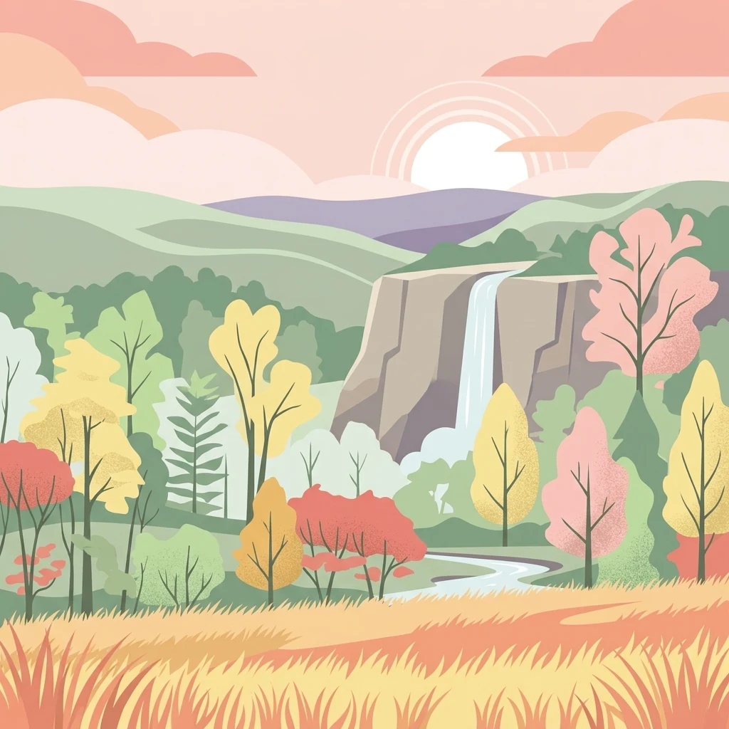
A flat-style digital illustration showing a tranquil landscape with a waterfall cascading over a cliff, surrounded by a lush forest in autumn hues of orange, yellow, and green, set against a background of rolling hills and a sunlit sky.

A rolling, forest-covered public landscape in the hills of southern Indiana.

Hoosier National Forest

Hoosier National Forest is a federally managed forest in the hills of southern Indiana, administered by the United States Forest Service. Spread across four noncontiguous sections made up of many separate parcels, it covers more than 200,000 acres of mixed woodland, rugged terrain, and river bluffs in one of the more heavily forested parts of the Midwest. The forest is the only National Forest in Indiana and contains the state's sole designated wilderness area, the Charles C. Deam Wilderness. It blends recreation, natural heritage, and working forest land, offering extensive trails, small recreation lakes, scenic sandstone features, and several pockets of unusually rare habitat such as the prairie-like Clover Lick Barrens along the Ohio River. Hoosier National Forest is significant both ecologically and culturally. It preserves karst landscapes, caves, old-growth remnants, and relict prairies, while also protecting archaeological sites and historic settlement places that reflect the layered human history of southern Indiana, from Native American hunting grounds to early European American communities.

Location
United States of America
Park type
Protected landscape
Established
1961
Area
826.8 km²
Hoosier National Forest Geography and Maps

Review Hoosier National Forest dates, depths, places, and distances

Study historical earthquake records around Hoosier National Forest

Hoosier National Forest’s earthquake entries are arranged by epicentre and distance from southern Indiana hardwood forest, karst, caves, hills, lakes, and rivers. Time, magnitude, depth, locality, separation, and source can be compared without concluding that events crossed the boundary or that karst terrain caused effects, signals current danger, or predicts later activity.

Sort by
Magnitude
Location

This page describes catalogued earthquakes associated with the park by epicentre location and distance. It does not establish causation, assess current danger, or predict future earthquakes.

No earthquake records match the current filters

Park atlas

Go beyond Hoosier National Forest earthquake history in the atlas

Discover other protected parks after Hoosier National Forest

Following Hoosier National Forest’s earthquake catalogue, this section opens other protected-place profiles beyond its hardwood forest and karst setting. Inclusion does not establish shared Indiana geography, forest status, geological character, proximity, seismic evidence, hazard, risk, or earthquake-page coverage; each destination carries its own documented identity.
National parkKentucky
75 km away#1 closest

South

Mammoth Cave National Park: Kentucky's Premier National Park for Protected Landscape Exploration

Explore its mapped boundaries and regional geography.

Mammoth Cave National Park in Kentucky presents a profound opportunity for protected-area discovery, anchored by its status as a national park. This resource focuses on providing a factual atlas-style view of its landscape, emphasizing its geographic context within the region and the extent of its protected boundaries. Users can engage with detailed information designed for structured exploration, understanding the park not just as a location but as a key component of natural landscape data.

Area
210.46 km²
Established
1941
IUCN
II
Visitors
747K annual
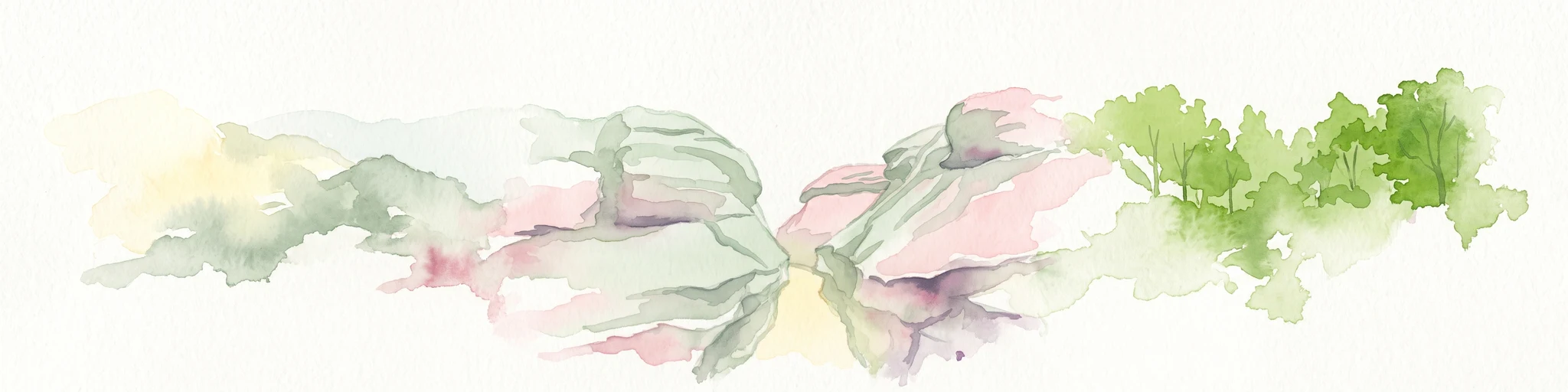
Watercolor painting of a wide, rolling landscape featuring layered sandstone bluffs and green forested hills against a light background.
Protected landscapeIllinois
125 km away#2 closest

Southwest

Shawnee National Forest: Exploring the Protected Landscapes of the Illinois Shawnee Hills

Mapped sandstone formations and glacial terrain in southern Illinois

Spanning nearly 289,000 hectares, Shawnee National Forest is the largest body of public land in Illinois. The area is defined by its dramatic sandstone bluffs, deep canyons, and seven designated wilderness areas that provide a rare rugged topography within the American Midwest. Explore the complex geography of this forest, from its glacial-sculpted river watersheds to its diverse hardwood habitats and historic reforestation sites.

Area
2,017.83 km²
Established
1933
Relief
Upland
Climate
Temperate
Watercolor painting of rock formations and surrounding green trees on a plain white background.
Wildlife reserveIllinois
146 km away#3 closest

Southwest

Garden of the Gods Wilderness: A Protected Sandstone Plateau in Southern Illinois

Explore geologic boundaries, sandstone hoodoos, and forested wilderness terrain

Garden of the Gods Wilderness represents a critical protected area within the Shawnee National Forest, notable for its unglaciated sandstone geography. This 3,318-acre wilderness offers an intimate view of ancient carboniferous rock formations, including prominent hoodoos and clifftop overlooks that provide expansive sightlines across the southern Illinois landscape.

Area
13.43 km²
Established
1990
Relief
Upland
Climate
Temperate
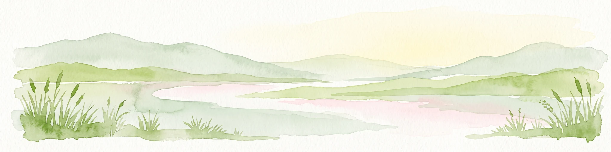
A watercolor painting showing a stylized landscape with rolling green hills, a band of trees, and a pale pink lake surface under a soft morning sky.
Protected landscapeUnited States of America
154 km away#4 closest

Southwest

Land Between the Lakes National Recreation Area: Mapped Geography and Protected Landscapes

An inland peninsula preserved between two major river reservoirs.

Land Between the Lakes National Recreation Area occupies a distinct narrow land bridge between Kentucky Lake and Lake Barkley. This protected landscape contains a dense mix of forested ridges, stream valleys, and managed wildlife prairies. The area is integral to the lower Ohio River Valley geography, showcasing the results of long-term watershed management and large-scale ecological restoration within the United States.

Area
693.1 km²
Established
1963
Visitors
2M annual
Relief
Lowland
Wildlife reserveIllinois
159 km away#5 closest

Southwest

Lusk Creek Wilderness: An Atlas of Protected Sandstone Canyons and Forests in Southern Illinois

Mapping rugged wilderness terrain and forest ecological recovery.

Lusk Creek Wilderness serves as a key protected landscape in southern Illinois, featuring extensive sandstone canyon systems and dense hardwood woodland. This area offers a unique look at the geological and forested character of the Shawnee region, documented through its boundaries, elevation changes, and natural landmarks. Use this geographic entry to examine the rugged, roadless character of the state largest wilderness designation and its place within the wider regional drainage system.

Area
25.47 km²
Established
1990
IUCN
Ib
Relief
Upland
National parkUnited States of America
277 km away#6 closest

North

Indiana Dunes National Park: Protected Landscape Geography and Map Exploration

Explore the National Park's geographic boundaries and regional context.

Indiana Dunes National Park represents a distinct protected area within the United States of America, characterized by its unique landscape setting. This entry provides a detailed atlas-style view, highlighting the park's mapped boundaries and its contribution to the regional geography. Understanding this National Park means appreciating its specific natural terrain and its place within the conservation landscape of North America.

Area
62.12 km²
Established
1966
IUCN
II
Visitors
2.8M annual
A watercolor painting showing a wide, panoramic view of a soft, green prairie landscape with rolling hills in the background and grassy reeds in the foreground.
Protected landscapeWill County
282 km away#7 closest

North

Midewin National Tallgrass Prairie: A Protected Landscape Map in Will County Illinois

Federal tallgrass prairie restoration and ecological geography

Located in Will County, Midewin National Tallgrass Prairie is a cornerstone of American grassland conservation. This protected landscape combines diverse dolomite prairies, woodland corridors, and open grasslands, offering a deep look into the recovery of rare Midwestern ecosystems. The site functions as a living laboratory for research into native biodiversity and large-grazer ecological impact.

Area
73.76 km²
Established
1996
Relief
Lowland
Climate
Temperate
National parkMissouri
291 km away#8 closest

West

Gateway Arch National Park: National Park Geographic Atlas and Map Boundaries

Explore protected landscape context and regional setting.

Gateway Arch National Park represents a unique protected landscape within Missouri, contributing to the broader national park atlas. This entry focuses on its specific geographic identity and mapped boundaries, offering structured data for understanding its role. Discover the factual landscape context and regional importance of Gateway Arch National Park for informed geographic exploration.

Area
0.78 km²
Established
2018
IUCN
II
Visitors
1.2M annual
MoriAtlas Explorer

Explore the Geographic Boundaries and Terrain of Hoosier National Forest

Investigate the unique land features and protected boundaries of Indiana's primary federal forest. MoriAtlas provides a spatial look at how this forest interacts with regional karst geography and diverse ecosystems, providing a deeper understanding of its environmental significance.