A Blue Ridge wilderness of rugged ridges, quartzite boulder fields, and old growth along the James River
James River Face Wilderness
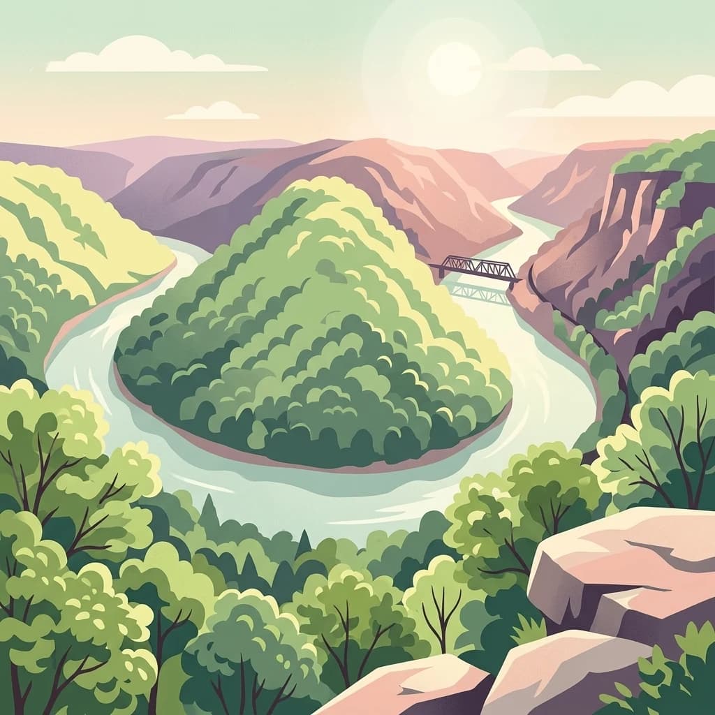
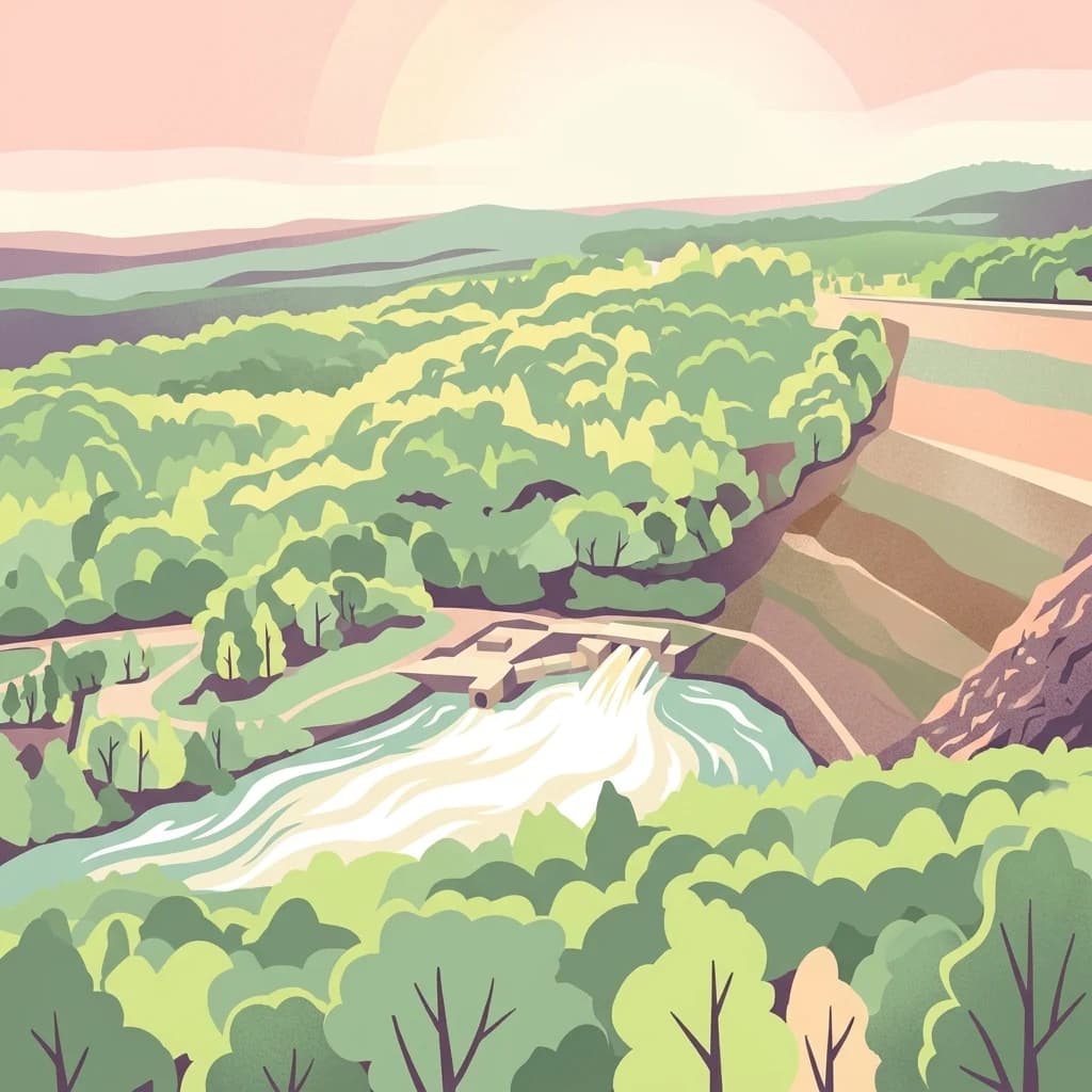
James River Face Wilderness is an 8,907-acre federally designated wilderness in the Blue Ridge Mountains of Virginia, managed by the U.S. Forest Service within the Jefferson National Forest. It sits a short distance from Natural Bridge Station, with its northeastern edge defined by the James River and its southern boundary marked by the Blue Ridge Parkway. The wilderness is part of the Glenwood Cluster of Virginia's mountain wildlands and was protected under the Eastern Wilderness Act of 1975 to preserve its natural character and ecological diversity.
The area is defined by dramatic topographic contrast. Highcock Knob rises sharply above the James River, with the elevation changing several thousand feet over a short horizontal distance. Piney Ridge and Gunter Ridge form tall flanking ridgelines, while quartzite boulders the size of school buses pile up at the Devils Marbleyard rock outcrop. Creeks descend rapidly through narrow drainages, producing waterfalls and sheltered coves, and the Appalachian Trail passes through the wilderness as it crosses the James River.
Ecologically, the wilderness shelters a mix of dry ridge-top oak and pine forest, rich mesic coves with white oak, basswood, and tulip poplar, and remnant old growth in the Matt's Creek watershed and along the James River. The Allegheny woodrat, a species of conservation concern, has been documented at the Devils Marbleyard outcrops. Together, the combination of steep terrain, varied forest communities, and old growth presence gives James River Face Wilderness its distinctive identity within the Blue Ridge.