Mori Atlas logo
Protected areaJegrička Nature Park

Discover the riverine wetlands and marsh ecosystems of this key protected area.

Jegrička Nature Park Protected Area: Mapped Landscape and Geographic Context

Jegrička Nature Park represents a vital protected area within Serbia's Pannonian Plain, offering a unique glimpse into a well-preserved riverine wetland ecosystem. This page provides detailed geographic context and map-based insights into the park's terrain, which is characterized by the meandering Jegrička river, expansive marshlands, and riparian forests. Explore the ecological significance of this protected landscape as a critical habitat for waterfowl and a significant stopover for migratory birds within Eastern Europe.

wetlandsriver ecosystemsprotected areabirdwatchingmarshlandfreshwater habitat

Jegrička Nature Park

Protected area

Park overview

Structured park overview, official facts, and landscape profile for Jegrička Nature Park

Jegrička Nature Park park facts, protected area profile, and essential visitor context
Review the core facts for Jegrička Nature Park, including designation, size, terrain, visitor scale, habitats, and operating context in one park-focused overview.

About Jegrička Nature Park

Jegrička Nature Park protects a stretch of the Jegrička river and its surrounding wetlands in the Vojvodina region of northern Serbia. The Pannonian Plain, where the park is located, is characterized by its flat to gently rolling agricultural landscapes, making the riverine wetlands of the Jegrička particularly significant as islands of natural habitat in an otherwise heavily farmed region. The river flows through a landscape that has been shaped by both natural hydrological processes and centuries of agricultural activity, creating a complex mosaic of wetlands, meadows, and riparian zones. The protected area was established to preserve this important freshwater ecosystem and the biodiversity it supports, particularly the bird populations that depend on wetland habitats for breeding and migration.

Quick facts and research context for Jegrička Nature Park

Jegrička Nature Park is situated in the Vojvodina province of Serbia, protecting a river corridor and its associated wetlands along the Jegrička river. The reserve safeguards one of the region's significant freshwater ecosystems, characterized by marshes, reed beds, and floodplain forests. This wetland area plays an important role in regional biodiversity, particularly for waterfowl and migratory bird species that use the Pannonian flyway.

Park context

Deeper park guide and search-rich context for Jegrička Nature Park

Jegrička Nature Park history, landscape, wildlife, and travel context
Explore Jegrička Nature Park through its history, landscape character, ecosystems, wildlife, conservation priorities, cultural context, and seasonal travel timing in a structured park guide built for atlas discovery and search intent.

Why Jegrička Nature Park stands out

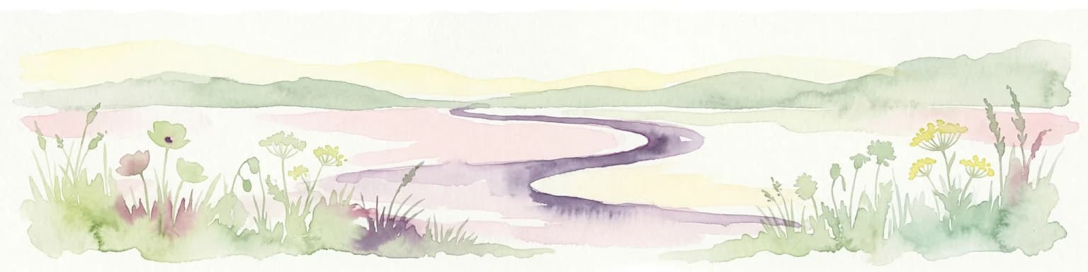
Jegrička Nature Park is best known for its riverine wetlands and marsh ecosystems along the Jegrička river. The protected area provides essential habitat for diverse waterfowl populations and serves as an important stopover point along major migratory bird routes in the Pannonian Basin. The park's floodplain landscapes, reed-dominated marshes, and meandering river channels create a distinctive wetland character within Serbia's generally flat agricultural terrain.

Jegrička Nature Park landscape and geographic character

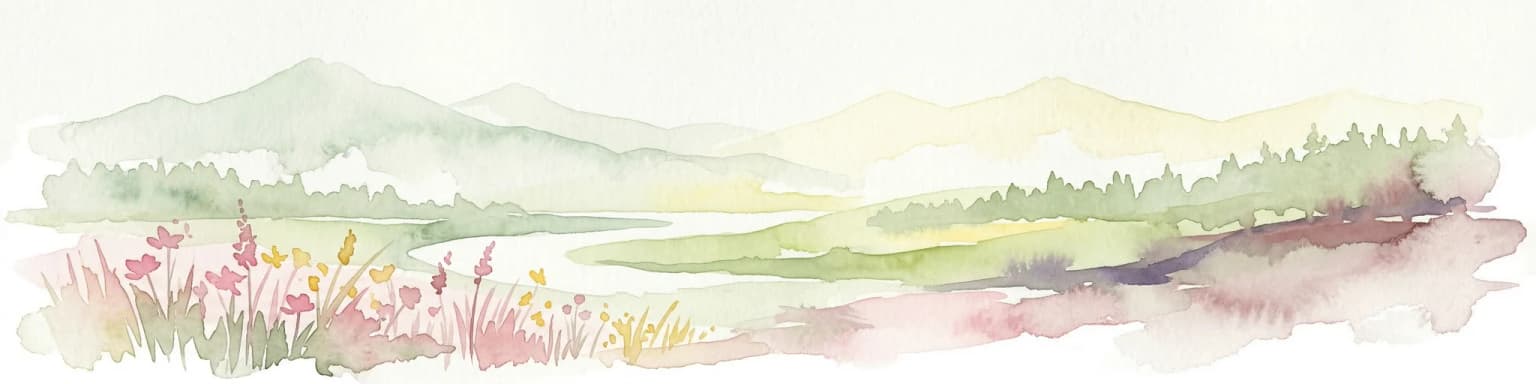
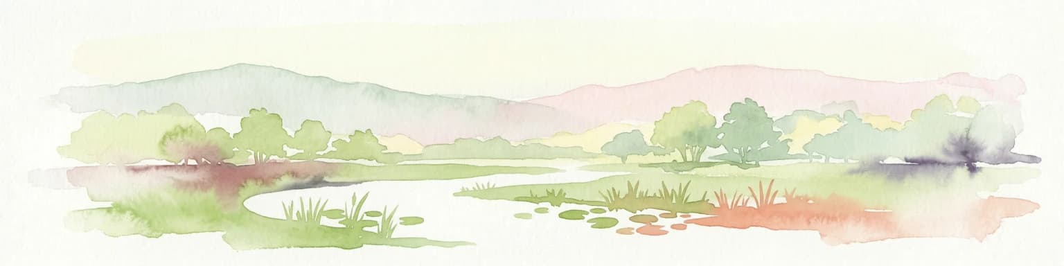
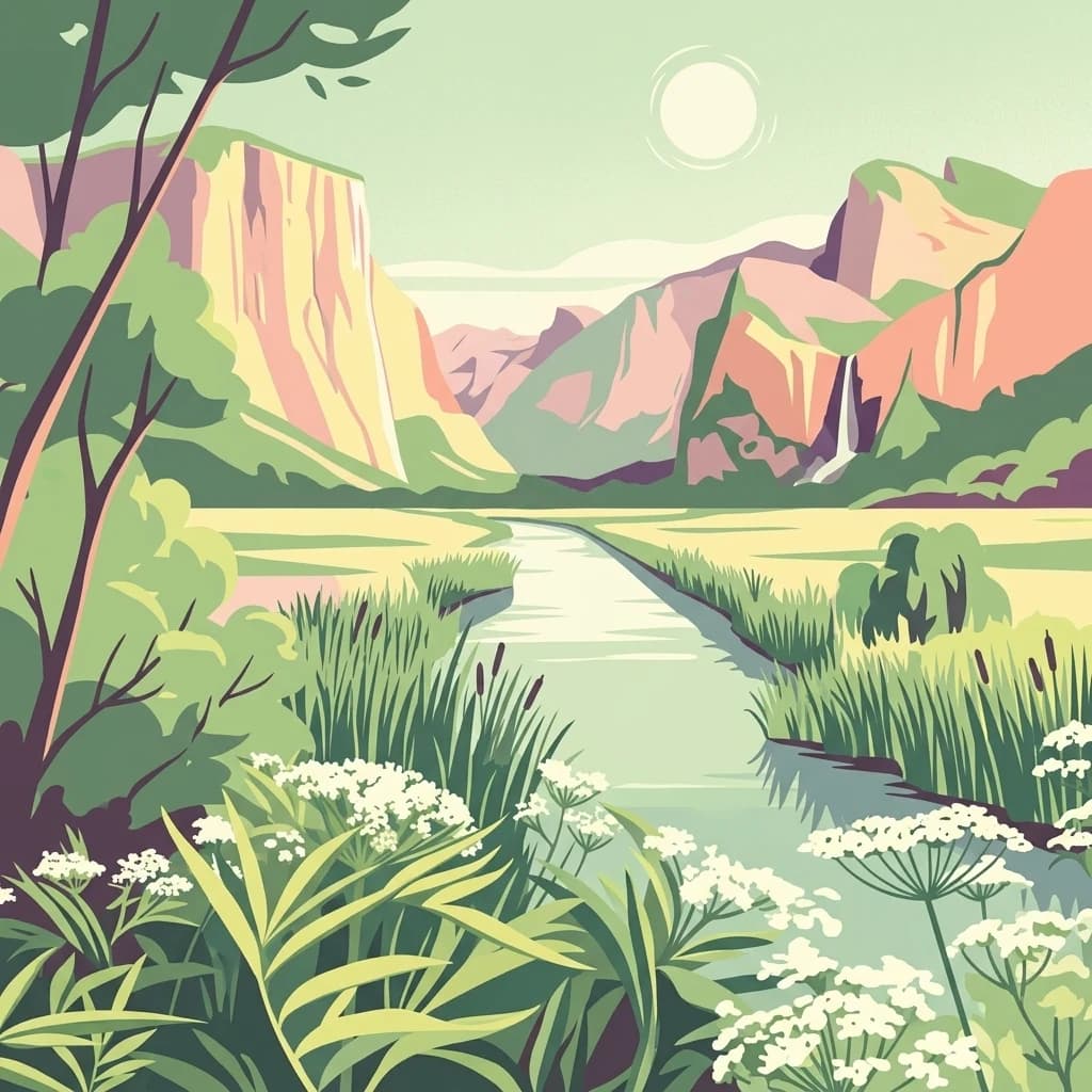
The landscape of Jegrička Nature Park centers on the meandering course of the Jegrička river as it flows through the flat terrain of the Vojvodina lowlands. The river corridor is flanked by marshlands, reed beds, and areas of riparian vegetation, creating a linear oasis of wetland habitat within the surrounding agricultural plains. The floodplain character of the area means that seasonal water level fluctuations influence the extent and distribution of wetland habitats, with broader marsh areas forming in the wider river valley. The terrain is predominantly flat, consistent with the broader Pannonian Basin geography, with the river channel and its associated wetlands providing the primary topographic variation.

Jegrička Nature Park ecosystems, habitats, and plant life

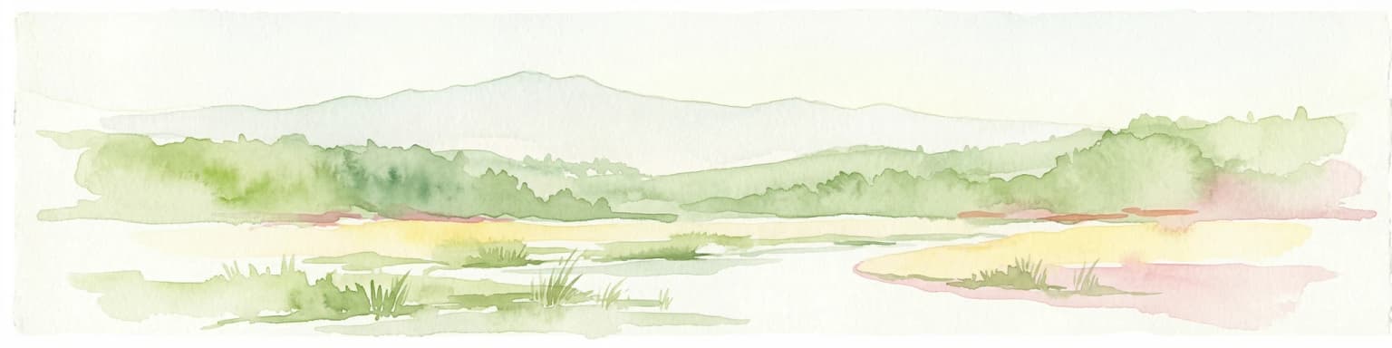
The nature of Jegrička Nature Park is defined by its riverine wetland ecosystems. The Jegrička river and its floodplain support extensive reed beds, marshes, and wet meadows that provide critical habitat for a range of wetland species. The combination of flowing water, standing marshes, and riparian vegetation creates diverse microhabitats within a relatively compact protected area. This wetland complex serves as an important ecological corridor within the Vojvodina agricultural landscape, connecting to broader regional ecosystems and supporting biodiversity in an area otherwise dominated by farmland.

Jegrička Nature Park wildlife and species highlights

Jegrička Nature Park supports significant populations of waterfowl and wetland-dependent bird species. The marshes and floodplain habitats provide nesting grounds for various duck species, herons, and other waterbirds, while the reed beds offer important cover for marsh-nesting birds. The wetland area serves as a feeding and resting site for migratory birds traveling through the Pannonian flyway, making it significant for both breeding and migratory bird populations. The river and its associated wetlands also support fish populations and other aquatic organisms that form the base of the wetland food web.

Jegrička Nature Park conservation status and protection priorities

Jegrička Nature Park represents an important conservation priority within Serbia's protected areas system as one of the significant wetland reserves in Vojvodina. The protection of this riverine ecosystem helps preserve biodiversity in a region where extensive agricultural development has reduced natural habitats. The park plays a role in maintaining ecological connectivity within the Pannonian Basin, providing refuge for species that depend on wetland environments. Conservation of the Jegrička wetlands also contributes to broader regional efforts to protect migratory bird routes and maintain ecosystem services such as water filtration and flood regulation.

Jegrička Nature Park cultural meaning and human context

The Jegrička river and its wetlands exist within the broader context of Vojvodina's agricultural landscape, a region with a long history of farming and settlement. The fertile soils of the Pannonian Plain have made this area important for agriculture for centuries, and the river valleys have traditionally provided both water resources and natural grazing areas. The wetlands exist as remnants of the region's more extensive historical wetland systems, much of which has been converted to agricultural use over time.

Top sights and standout views in Jegrička Nature Park

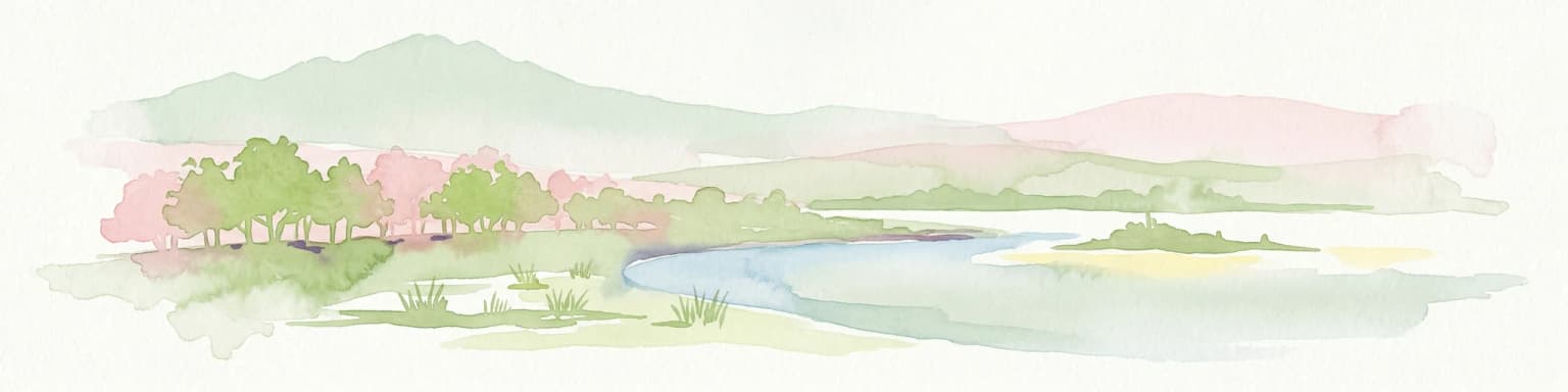
Jegrička Nature Park stands out as a preserved wetland corridor in northern Serbia's agricultural heartland. The park protects one of Vojvodina's significant riverine wetland systems, with its reed marshes, meandering river channels, and floodplain forests providing crucial habitat for waterfowl and migratory birds. The protected area represents a rare example of intact freshwater wetland ecosystem in a region dominated by intensive agriculture, making it an important ecological refuge and biodiversity hotspot.

Park location guide

Geography guide, regional context, and park location map for Jegrička Nature Park

Jegrička Nature Park park geography, regions, and map view in Serbia
Understand where Jegrička Nature Park sits in Serbia through a broader geographic reading of the surrounding landscape, nearby location context, and its mapped position within the national park landscape.

How Jegrička Nature Park fits into Serbia

Serbia is a landlocked country in Southeast and Central Europe, bordered by eight neighboring countries. With a population of approximately 6.6 million, it operates as a unitary parliamentary republic with Belgrade as its capital. The country has a rich history dating back to medieval statehood in the 7th century and has been independent since 2006 following the dissolution of Serbia and Montenegro.

Wider geography shaping Jegrička Nature Park in Serbia

Serbia is a landlocked country in the Balkans, spanning parts of Southeast and Central Europe. It occupies a strategic position in the heart of the Balkan Peninsula, bordered by Hungary to the north, Romania to the northeast, Bulgaria to the southeast, North Macedonia to the south, Croatia to the northwest, Bosnia and Herzegovina to the west, and Montenegro to the southwest. The terrain varies from rolling plains in the north to mountainous regions in the south and east.

Map view of Jegrička Nature Park

Use this park location map to pinpoint Jegrička Nature Park in Serbia, understand its exact geographic position, and read its mapped placement within the surrounding landscape more clearly.

Pigeon | © OpenStreetMap contributors
Park atlas

Trace the regional park geography and wetland ecosystems across the Pannonian Plain surrounding Jegrička Nature Park.

Discover Other Protected Areas Near Jegrička Nature Park in Serbia
After exploring Jegrička Nature Park's unique riverine wetlands, delve into a broader selection of protected areas across the Pannonian Plain and Vojvodina region. This curated list helps you compare diverse wetland habitats, trace interconnected river systems, and understand the wider conservation landscape in northern Serbia.
Protected areaSerbia

Lake Palić Protected Area: Serbia's Mapped Landscape and Regional Geography Exploration

Understand the protected landscape and park boundaries of Lake Palić.

Delve into the specifics of Lake Palić, a designated protected area in Serbia. This resource offers a deep dive into the park's mapped landscape, helping to illustrate its protected boundaries and geographic significance. Gain a clear understanding of its regional context and its contribution to the atlas of protected natural areas within Serbia.

Watercolor painting of a landscape featuring rolling hills, a lake, trees, and a sky with clouds
Natural monument

Avala Natural Monument: Iconic Protected Landscape and Regional Geography Near Belgrade

Explore Avala's mapped terrain and natural monument significance.

Avala Natural Monument offers a unique protected landscape and significant geographic context for the Belgrade metropolitan area. As one of Serbia's oldest protected natural sites, its distinct mountain terrain, geological composition, and panoramic views provide a rich subject for atlas-based discovery. Explore the mapped boundaries and natural features that define this prominent Serbian natural monument.

Area
5.01 km²
Established
1859
Relief
Mountain
Climate
Temperate
Watercolor illustration of a winding river through grassy fields with wildflowers and distant hills
Protected landscape

Subotička Peščara Protected Landscape: A Mapped Inland Dune System in Serbia

Explore unique Pannonian Plain geography and rare habitats.

Subotička Peščara Protected Landscape offers a deep dive into an exceptional inland dune ecosystem, a key feature of Serbia's Pannonian Plain geography. This protected area's mapped terrain includes a mosaic of forest, steppe, and wetland habitats, supporting rare flora and fauna. Discover the unique contours of this aeolian landscape and its significance within the regional geographic context.

Area
53.7 km²
Established
2002
Relief
Lowland
Climate
Temperate
Watercolor illustration of a river flowing through wetland vegetation with distant hills under a light sky
Protected landscapeOsijek-Baranja County

Kopački Rit Protected Landscape: A Key European Wetland Ecosystem in Osijek-Baranja County

Mapped natural terrain and protected landscape geography.

Delve into the protected landscape of Kopački Rit, a pivotal European wetland situated within Osijek-Baranja County, Croatia. This page offers a detailed look at its dynamic floodplain ecosystem, mapped water channels, marshes, and riparian forests, highlighting its importance for biodiversity and regional geography. Understand the park's extensive protected boundaries and its place in the broader continental atlas.

Area
177 km²
Established
1976
IUCN
V
Relief
Lowland
Watercolor illustration depicting a landscape with mountains, a winding river, and grassy fields
Protected landscape

Vršac Mountains Protected Landscape: A Unique Pannonian Island Mountain Range in Serbia

Explore distinct geological formations and rich avian habitats.

The Vršac Mountains Protected Landscape offers a unique geographic perspective as one of Serbia's Pannonian island mountains, emerging dramatically from the surrounding plains. This protected area is recognized for its striking gneiss and schist formations, its status as Vojvodina's highest elevation, and its exceptional importance for birdwatching, hosting over 120 species. Delve into the mapped terrain and geological character that distinguish this vital natural region.

Area
170 km²
Established
1982
Relief
Mountain
Climate
Temperate
Watercolor painting showing green forests, a river, and pink-hued mountains in the background
Protected landscape

Kosmaj Protected Landscape: Explore Serbia's Island Mountain Geography and Forests

Mapped terrain, historic monasteries, and biodiversity near Belgrade.

Kosmaj, a unique protected landscape and island mountain, presents a compelling study in regional geography and mapped terrain for atlas enthusiasts. Rising prominently near Belgrade, its landscape is characterized by dense deciduous forests of beech and oak blanketing its steeper slopes, along with distinct peaks like Mali Vis and Goli Vis. This area serves as a vital watershed source and boasts significant biodiversity, offering a rich context for understanding Serbia's natural and historic environments through structured geographic data and map exploration.

Area
0.035 km²
Established
2005
Relief
Lowland
Climate
Temperate
Watercolor illustration of a river landscape with grassy banks, trees, and hills in the background
National park

Danube-Drava National Park: Hungary's Premier Riverine Protected Area and Floodplain Landscape

Mapping the protected river corridors and vital wetland ecosystems

Danube-Drava National Park showcases the dynamic geography of Central Europe's largest riverine protected area, integrating floodplains, riparian woodlands, and extensive marshes along the Danube and Drava rivers. As a National Park and a Ramsar site, it protects crucial habitats like the Gemenc forest and supports exceptional biodiversity, including significant populations of white-tailed eagles. This page provides a structured overview of its mapped boundaries and ecological importance within the European protected lands atlas.

Area
490 km²
Established
1996
Relief
Lowland
Climate
Temperate
Watercolor illustration of a river flowing through a valley with mountains in the background
National parkBékés County

Körös-Maros National Park: National Park Identity and Békés County Landscape Context

Explore its mapped protected areas, wetlands, and steppe grasslands.

Körös-Maros National Park is a designated national park located in Békés County, Hungary, recognized for its expansive wetland ecosystems and steppe grassland habitats. This protected area plays a critical role in the geography of the Southern Great Plain, serving as a vital migration corridor for diverse bird populations. Users can explore the park's distinct landscape features, mapped protected boundaries, and its significance as a hub for avian conservation.

Area
501.34 km²
Established
1997
Relief
Lowland
Climate
Temperate

Common questions about visiting, size, designation, and location context for Jegrička Nature Park

Jegrička Nature Park FAQs for park facts, access, geography, and protected area context
Find quick answers about Jegrička Nature Park, including protected-area facts, park geography, trail and visitor context, and how the park fits into its surrounding country and regional landscape.
MoriAtlas Explorer

Continue Your Protected Areas Search Across the Global Atlas

Deepen your exploration by continuing the structured search for national parks and protected areas worldwide. Utilize the comprehensive filtering capabilities to compare different conservation landscapes and refine your understanding of global park geography. Discover more about the distribution and characteristics of protected natural areas.

Global natural geography