Mori Atlas logo
Park earthquake history

Review documented seismic events, magnitude readings, and epicentral distances within the regional mountain landscape.

Historical Catalogue of Recorded Earthquakes Associated with Krkonoše National Park

This historical catalogue provides a structured record of seismic events associated by proximity to the geographic boundaries of Krkonoše National Park. Users can examine documented earthquake occurrences including magnitude, depth, and distance from the alpine terrain to understand the historical seismic activity profile of this region. Every entry links to source data to maintain clear visibility into the long term regional seismic record.

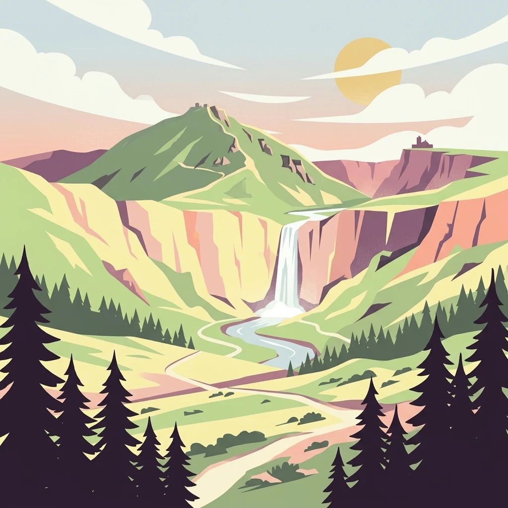
Illustration of a mountain landscape with waterfall, river, forests, and mountains under a sunlit sky

Czech Republic's highest mountain range protecting Alpine ecosystems and glacial relicts

Krkonoše National Park

Krkonoše National Park protects the Giant Mountains, the highest range in the Czech Republic and a prominent mountain system of Central Europe. Established in 1963, it is the oldest national park in the Czech Republic, spanning approximately 363 square kilometers along the border with Poland. The park's signature landmark is Sněžka, rising to 1,603 meters and serving as the country's highest peak. The landscape bears the unmistakable imprint of past glaciations, featuring dramatic cirques, glacial valleys, moraines, and distinctive blockfield formations. Beyond its geological heritage, the park harbors remarkable biodiversity including numerous glacial relict plant species that have survived since the last ice age, making it a living laboratory of alpine ecology. The protected area forms a transboundary conservation unit with Poland's Karkonosze National Park and has been recognized as a UNESCO Biosphere Reserve since 1992.

Location
Czechia
Park type
National park
Established
1963
Area
363.5 km²
Highest point
1,603 m
Krkonoše National Park Protected Area

Browse documented seismic events, depth metrics, and epicentre proximity to the Giant Mountains.

Search Historical Seismic Activity and Earthquake Records Near Krkonoše National Park

The seismic archive logs historical geological events based on calculated epicentre distance relative to the boundaries of Krkonoše National Park. Each archived record contains crucial factual parameters including occurrence dates, magnitude scales, focal depths, original reported locations, and direct access to primary agency sources.

Sort by
Magnitude
Location

This page describes catalogued earthquakes associated with the park by epicentre location and distance. It does not establish causation, assess current danger, or predict future earthquakes.

No earthquake records match the current filters

Park atlas

Continue navigating global park geography through related protected landscapes

Explore Additional National Parks and Reserves Beyond Krkonoše National Park

Travelers can browse a diverse selection of notable protected areas and national parks around the world to compare regional conservation strategies and terrain. Navigating distinct geographic profiles helps build a broader understanding of global wilderness preservation outside of Krkonoše National Park.
Watercolor illustration of a mountain range with green hills, pink and yellow sky, and sparse vegetation
National park
About 2.5 km away#1 closest

Northwest

Karkonosze National Park: A Premier National Park in Poland's Giant Mountains

Discover alpine terrain and unique glacial landscapes.

Karkonosze National Park is a significant protected area in Poland, renowned for its dramatic alpine topography carved by ancient glaciers. As the highest range in the Polish Sudetes, it features striking U-shaped valleys, U-shaped glacial cirques, and diverse subalpine to alpine ecosystems. This national park provides a rich context for understanding Central European mountain geography and exploring its mapped protected boundaries.

IUCN
II
Relief
Mountain
Scope
Terrestrial
Watercolor painting showing a river, grassy banks, scattered trees, and distant hills
Protected landscape
About 24 km away#2 closest

Southwest

Bohemian Paradise Protected Landscape: Discover Czech Republic's Sandstone Geology and Park Boundaries

Mapped sandstone formations and historic regional geography.

Delve into Bohemian Paradise, a protected landscape in the Czech Republic celebrated for its dramatic sandstone rock formations and ancient castles. This detailed entry provides context on its unique geological character, the extent of its protected boundaries, and its significant position within the regional geography. Explore the mapped terrain and understand the atlas value of this historic protected area.

Area
181.17 km²
Established
1955
IUCN
V
Relief
Upland
Watercolor artwork depicting a landscape with green hills, distant mountains, and pastel sky
National parkLower Silesian Voivodeship
30 km away#3 closest

Southeast

Stołowe Mountains National Park: Explore Poland's Sandstone Rock Cities and Protected Terrain

National Park in Lower Silesian Voivodeship: Geological Wonders.

Stołowe Mountains National Park is a protected national park in Poland celebrated for its unparalleled sandstone geological features. Within the Lower Silesian Voivodeship, the park showcases a dramatic landscape dominated by flat-topped rock plateaus, natural labyrinths, and vertical sandstone formations that create a visually stunning and geologically significant environment. Its protected status ensures the preservation of these unique landforms and the rare ecosystems, such as raised peat bogs, offering extensive opportunities for atlas exploration and understanding the region's distinct natural context.

Area
63.39 km²
Established
1993
IUCN
II
Visitors
1.3M annual
Watercolor painting showing a landscape with green hills, trees, and a river winding through the scene
National park
70 km away#4 closest

West

Saxon Switzerland National Park: Protected Area Geography and Map Exploration

Discover its mapped boundaries and regional landscape context.

Saxon Switzerland National Park, a protected national park in Germany, offers a distinct focus for geographic and atlas-based discovery. This page details the park's specific protected landscape, its mapped boundaries, and its contribution to the regional geography. MoriAtlas allows for in-depth exploration of such natural areas, providing essential context for understanding their place within broader natural systems and mapped terrains.

Area
93.5 km²
Established
1990
IUCN
II
Visitors
1.7M annual
Watercolor illustration of rolling green hills, forests, and distant mountains
National park
About 79 km away#5 closest

West

Bohemian Switzerland National Park: Czech Sandstone Protected Landscape and Map Exploration

Discover its unique terrain and protected area geography.

Bohemian Switzerland National Park is a protected area in the Czech Republic known for its exceptional sandstone geology. This national park showcases a dramatic landscape of towering rock formations, deep gorges, and striking canyons, forming a significant part of the Elbe Sandstone Mountains. Through MoriAtlas, users can explore its mapped protected boundaries, understand its regional geographic context, and appreciate its unique natural heritage.

Area
79 km²
Established
2000
IUCN
II
Relief
Mixed relief
Watercolor illustration of a karst landscape featuring hills, a lake, and cave-like rock formations with green vegetation
Protected landscapeSouth Moravian Region
About 159 km away#6 closest

Southeast

Moravian Karst Protected Landscape: Detailed Geographic and Cave System Atlas

Mapped protected boundaries and karst phenomena in the South Moravian Region.

Moravian Karst, designated a Protected Landscape Area, offers a profound look into complex karst geology within the South Moravian Region. This entry within MoriAtlas facilitates a structured discovery of its approximately 92 square kilometers, featuring an intricate network of over 1,100 caves and gorges. Users can explore the mapped extent of this geological treasure, understand its relationship with the surrounding regional geography, and appreciate the unique formations sculpted by underground water systems, including the iconic Macocha Abyss.

Area
92 km²
IUCN
V
Scope
Terrestrial
Water
Minor water
Watercolor painting of a landscape with hills, a lake, and forested areas
National park
About 181 km away#7 closest

North

Wielkopolska National Park: Poland's Glacial Landscape and Lake District Protected Area

Explore the mapped terrain and protected landscape.

Wielkopolska National Park is a vital protected landscape in western Poland, notable for its characteristic post-glacial terrain. Featuring a landscape defined by numerous kettle lakes nestled within mixed forests and gently rolling hills, this national park offers a representative sample of the Greater Poland lake district's natural heritage. Its mapped boundaries delineate an area of ecological importance, providing valuable context for understanding regional geography and protected area distribution through structured atlas exploration.

IUCN
II
Watercolor illustration showing a winding river through rolling hills with trees
National parkSouth Moravian Region
186 km away#8 closest

South

Podyjí National Park: Explore Czech Republic's Intact River Canyon Ecosystem

Mapped Boundaries and Protected Landscape of South Moravia

Podyjí National Park, situated in the South Moravian Region, offers a profound look into one of Central Europe's most ecologically preserved river valleys. This national park is defined by its dramatic 220-meter deep Dyje River canyon, featuring rocky cliffs, stone seas, and a rich mosaic of forest and steppe habitats. MoriAtlas provides structured geographic information to analyze its unique landscape context, biodiversity, and role as a protected natural area within the Czech atlas.

Area
63 km²
Established
1991
IUCN
II
Relief
Upland
MoriAtlas Explorer

Continue Your Atlas Exploration of Krkonoše National Park's Protected Terrain

Deepen your understanding of Krkonoše National Park by exploring its detailed geographic features, mapped boundaries, and the unique alpine environment it preserves. This national park offers critical insights into glacial geomorphology and the conservation of Central European mountain ecosystems. Utilize MoriAtlas to navigate its protected landscape context and discover its significance within the broader regional geography.