
Mori Atlas logo
Nearby park discovery

Map-based regional geography of nearby protected lands and riverine conservation sites

Protected Areas and Natural Landscapes Geographically Near Mariannenaue in Hessen

Identify nature reserves and significant protected landscapes located within the geographic vicinity of the Mariannenaue river island in Hessen. This analysis presents a mapped overview of nearby protected sites to clarify their regional distribution and spatial relationship within the Rhine river conservation network.

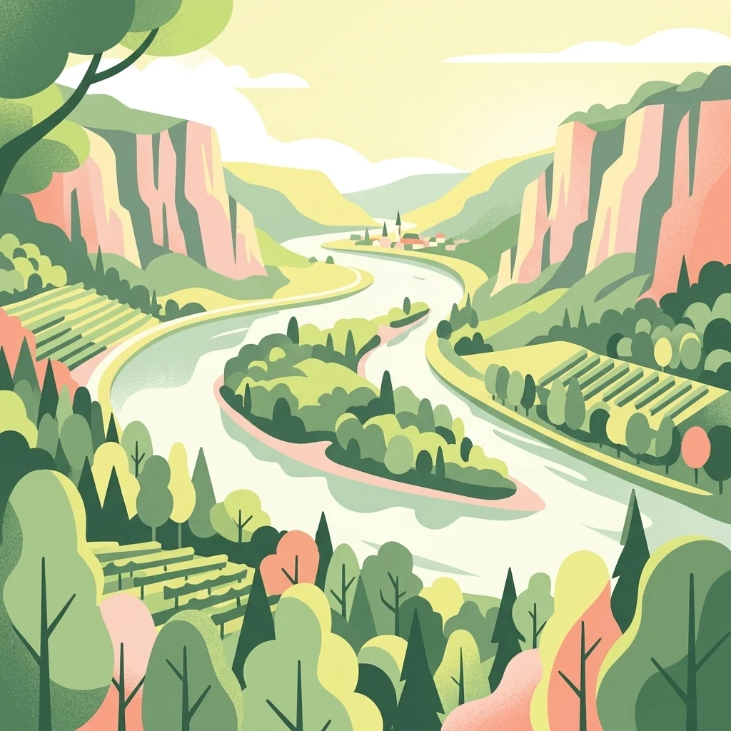
A stylized digital illustration of a river landscape with a central island covered in dense forest. Steep valley slopes on both sides of the river feature terraced vineyards and woodland areas under a soft, warm sky.

About Mariannenaue

Mariannenaue

Mariannenaue is a sizeable inland island in the Upper Rhine, situated in the Rheingau between the localities of Erbach and Hattenheim in the borough of Eltville am Rhein. With roughly 68 hectares of land it is larger than the widely known Mainau in Lake Constance, and including its associated training groynes and still waters it stretches more than five kilometers along the river course. The island is enclosed by the two side channels called the Kleine Gieß and Große Gieß, which together create an extensive area of protected calm water around the central landmass. Ecologically the island is significant for its Auenwald floodplain forest, which includes trees estimated to be up to four hundred years old, and for its function as both a breeding habitat and a staging point for migratory birds. A rare beaver species is also documented on the island. Since 1972 the area has been a German nature reserve, and since 1974 it has additionally held European-level status as a Fauna-Flora-Habitat area, placing it within the broader Rhine conservation network. Beyond its natural value, Mariannenaue is a working wine-growing landscape. Schloss Reinhartshausen cultivates roughly 23 hectares of vineyards on the island, producing notably well Chardonnay thanks to the calcareous soils and the moderating climatic effect of the surrounding river. The island is historically connected to the schloss on the right bank and has also been linked, by local historians, with the death of Emperor Louis the Pious in 840 AD.

Location
Germany
Park type
Nature reserve
Established
1972
Area
2 km²
Mariannenaue Nature Reserve Geography
Regional park map

See the ranked park cluster in its geographic setting

Nearby parks around Mariannenaue

This regional map shows the same 20 nearby parks ranked below around Mariannenaue. Select a ranked marker to highlight that park’s boundary where boundary data is available.
Reference park: MariannenaueRanked nearby parkSelected boundary: Mariannenaue20 nearby parks shown
20 nearby parks

Explore distance-ranked conservation landscapes and regional park geography surrounding Mariannenaue

Ranked Protected Areas and Surrounding Parks Geographically Near Mariannenaue

Geographic proximity measurements establish a structured ranking of protected areas situated near Mariannenaue across the surrounding region. Recorded environmental attributes and boundary positions provide clear signals for comparing adjacent natural landscapes and river habitats.
A watercolor painting showing a soft, atmospheric landscape with a river flowing through green hills and gentle, misty mountains.
Nature reserveRhineland-Palatinate
Park boundaries overlap#1 closest

East

Inselrhein Nature Reserve, Rhineland-Palatinate: A Geographic and Protected-Area Atlas

River islands, floodplain forests, and Upper Rhine wetlands

Inselrhein features a chain of natural river islands and side channels forming a critical wetland habitat. The terrain transition from soft-wood to hardwood forest communities creates a layered landscape. Examine the protected boundaries and geographic significance of this river corridor between Mainz and Bingen, documented within the Rhineland-Palatinate atlas.

Relief
Lowland
Climate
Temperate
Access
Easy access
Scope
Terrestrial
A horizontal watercolor illustration of a natural landscape featuring a small body of water or pond in the foreground, surrounded by grassy banks, low hills in the distance, and soft-colored vegetation.
Nature reserveRhineland-Palatinate
About 2 km away#2 closest

Southeast

Sandgrube am Weilersberg Nature Reserve and Protected Landscape Map

Rhineland-Palatinate, Germany protected area

Sandgrube am Weilersberg is a protected nature reserve in Rhineland-Palatinate, Germany, known for its compact mosaic of calcareous sand slopes and wet meadows. Part of the Natura 2000 network, the site preserves rare steppe flora and wetland ecosystems that emerged following former sand extraction. The terrain supports significant entomological, botanical, and bryological diversity maintained through active grazing.

Area
0.095 km²
Established
1986
Relief
Lowland
Climate
Temperate
Nature reserveRhineland-Palatinate
About 2.7 km away#3 closest

South

Hangflächen um den Heidesheimer Weg: Nature Reserve Geography and Protected Landscape Context

Mainz-Bingen, Rhineland-Palatinate Nature Reserve

Hangflächen um den Heidesheimer Weg contains an unusual ecological convergence of sand dunes, open flats, and calcareous grasslands near Ingelheim am Rhein. This nature reserve provides critical protection for a fragmented yet highly structured landscape where springs and wetland zones intersect with warm, dry slopes. The area preserves a significant biotope complex of national importance within the Upper Rhine Plain.

Area
3.348 km²
Established
2003
A soft watercolor painting of a forest landscape with slender trees, green grass, and distant rolling hills against a pale, warm sky.
Nature reserveRhineland-Palatinate
About 5.3 km away#4 closest

East

Lennebergwald Nature Reserve: Mapped Geography and Protected Forest Landscapes in Germany

Rhineland-Palatinate woodland and dry forest ecosystem analysis

Analyze the Lennebergwald nature reserve through its geological and ecological profile. This protected area in Rhineland-Palatinate showcases a rare inland sand forest structure, linking together pine and oak stands with vital dry grassland habitats that form a critical ecological mosaic in central Germany.

Area
8 km²
Established
1996
Relief
Lowland
Climate
Temperate
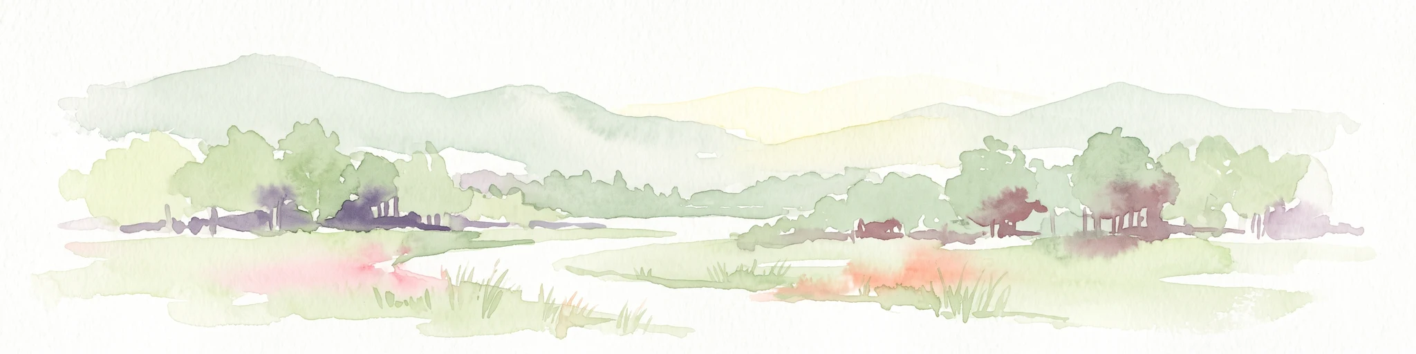
Watercolor painting of a misty river landscape with green trees, reeds, and soft hills in the background.
Nature reserveHesse
About 5.4 km away#5 closest

Northeast

Niederwallufer Bucht Nature Reserve: Rhine Floodplain Landscape and Geographic Context

Protected riparian habitat in the state of Hesse

Niederwallufer Bucht represents a key example of a conserved Rhine riverbank environment. This nature reserve protects a delicate mix of soft-wood forests, sheltered backwater bays, and riparian meadows. By maintaining these wetlands against the backdrop of the heavily settled Rheingau, the site provides a vital node of ecological continuity and a clear look at floodplain terrain within central Germany.

Area
0.13 km²
Established
2000
IUCN
IV
A watercolor illustration of a calm body of water with a single tree in the center; distant rolling hills are visible in the background under a soft, pastel-colored sky.
Nature reserveLower Saxony
About 6.4 km away#6 closest

Southwest

Fulder Aue, Ilmen Aue Nature Reserve: Mapped Protected Landscapes and Floodplain Geography

Alluvial river islands and wetland ecosystems in the Rhine valley.

The Fulder Aue, Ilmen Aue nature reserve serves as an vital example of an active Rhine floodplain. This area preserves a mosaic of islands, connecting channels, and soft-wood forest habitats. Learn about the geographic and hydrological dynamics that shape this protected space near Bingen am Rhein, showcasing its importance within the Rhine lowland system.

Area
3.38 km²
Established
1995
Relief
Lowland
Scope
Terrestrial
Watercolor painting of a river landscape with rolling green hills, distant slopes, and soft vegetation in shades of green and pink against a white background.
Nature reserveRheingau-Taunus-Kreis
7.6 km away#7 closest

West

Rüdesheimer Aue Nature Reserve and Upper Rhine Protected Landscape

Riverine geography and protected floodplain forest

Rüdesheimer Aue represents a rare, uninhabited island refuge along the Upper Rhine. Its geography features shifting sediment bars, mudflats, and softwood floodplain forest cover, offering an essential staging ground for migratory waterbirds within the Rheingau-Taunus district of Hesse.

Area
0.057 km²
Relief
Lowland
Climate
Temperate
Access
Remote access
A horizontal watercolor illustration of a natural valley scene, featuring an open meadow in the foreground, forest edges in the midground, and rolling hills in the background.
Nature reserveHesse
About 7.7 km away#8 closest

Northeast

Rechtebachtal bei Georgenborn Nature Reserve: Geographic Profile and Protected Landscape

A mapped stream valley ecosystem in the Hesse Taunus foothills

The Rechtebachtal bei Georgenborn nature reserve protects a two-part valley corridor along the Rechtebach stream near Georgenborn and Martinsthal. This site preserves rare habitat mosaics of meadows and woodland that characterize the transitional zone between the Taunus highlands and the Rhine valley, offering a distinct study in regional conservation geography.

Area
0.185 km²
Established
1989
IUCN
IV
Relief
Upland
Nature reserveRhineland-Palatinate
About 8.1 km away#9 closest

Southeast

Wiesen am Layenhof, Ober-Olmer Wald Nature Reserve: Mapped Landscapes of Rhineland-Palatinate

Protecting a delicate balance of beech woodland and rare dry grassland ecosystems.

Spanning 533 hectares near Mainz, this nature reserve serves as a critical refuge for biodiversity, characterized by its interlocking habitat types including oak-beech forests and orchid-rich dry swards. The geography is shaped by small seasonal pools and a network of pathways that provide access to the protected terrain, offering a clear view of how woodland and meadow habitats interact within the landscape of Rhineland-Palatinate.

Area
5.33 km²
Established
2017
Relief
Lowland
Scope
Terrestrial
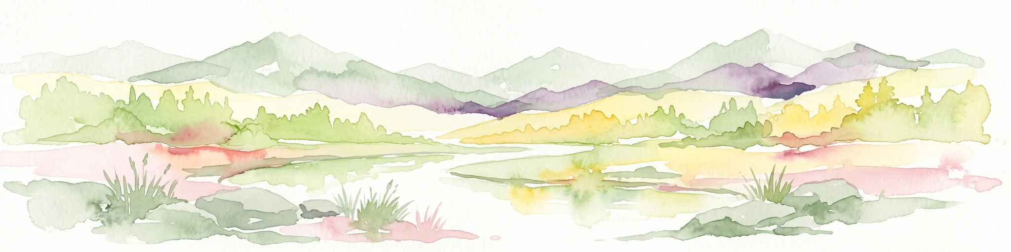
A wide watercolor illustration showing a winding river flowing through a green floodplain with scattered trees and pale pink and purple hills in the distance.
Nature reserveHesse
About 8.8 km away#10 closest

East

Rettbergsaue Nature Reserve: Geography and Protected Landscapes in the Rhine Valley

A vital river island ecosystem and floodplain forest in Hesse.

Rettbergsaue serves as an essential riverine habitat in the Upper Rhine. This nature reserve, characterized by its alluvial woodland and riparian meadows, offers a detailed study of sediment-formed islands and the interplay between main-channel water flow and sheltered side-arm environments within the state of Hesse.

Area
0.68 km²
Established
1978
Relief
Lowland
Climate
Temperate
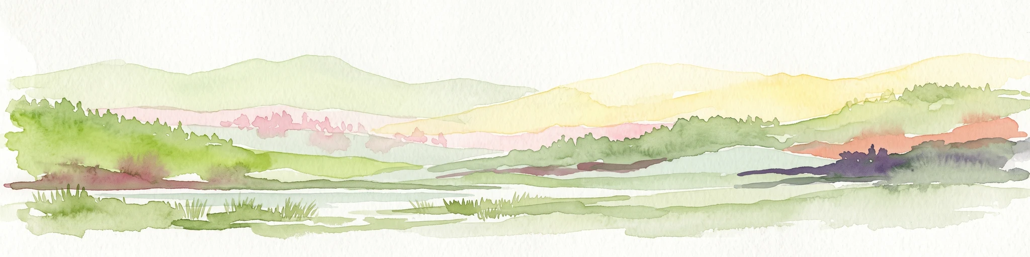
A horizontal watercolor painting depicting a soft-focus landscape with rolling green hills, distant light-yellow mountains, and forested slopes.
Protected landscapeHesse
About 13 km away#11 closest

Northeast

Naturpark Rhein-Taunus: Mapped Protected Landscapes and Geographic Features in Hesse

Discover the forests, river valleys, and cultural sites of this significant German nature park.

Naturpark Rhein-Taunus encompasses 81,000 hectares of forested ridges and valley systems in the Taunus low mountain range. The area is defined by its near-natural woodland, including the extensive Hinterlandswald, and its unique integration with the Roman Limes and the Rhine wine region, offering a distinct study in protected area geography.

Area
810 km²
Established
1968
Relief
Mountain
Climate
Temperate
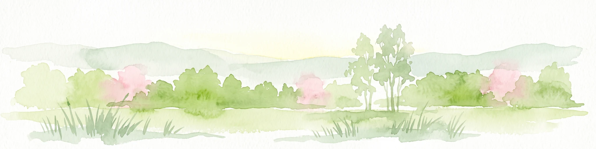
A watercolor illustration of a landscape with green meadows, flowering bushes, and distant rolling hills on a white background.
Nature reserveHesse
14 km away#12 closest

Northeast

Rabengrund von Wiesbaden: Mapping Protected Landscapes and Habitats in Hesse

Nature reserve and FFH site in the Taunus foothills

Rabengrund von Wiesbaden serves as a distinct protected valley system characterized by a compact coexistence of acid grasslands, reedbeds, and orchid-rich meadows. Managed as both a nature reserve and a Natura 2000 site, this area provides a rare window into the historical cultural landscape of the Taunus region. The site offers essential insight into small-scale habitat diversity near the urban core of the Hessian state capital.

Area
0.791 km²
Established
1988
IUCN
IV
Relief
Upland
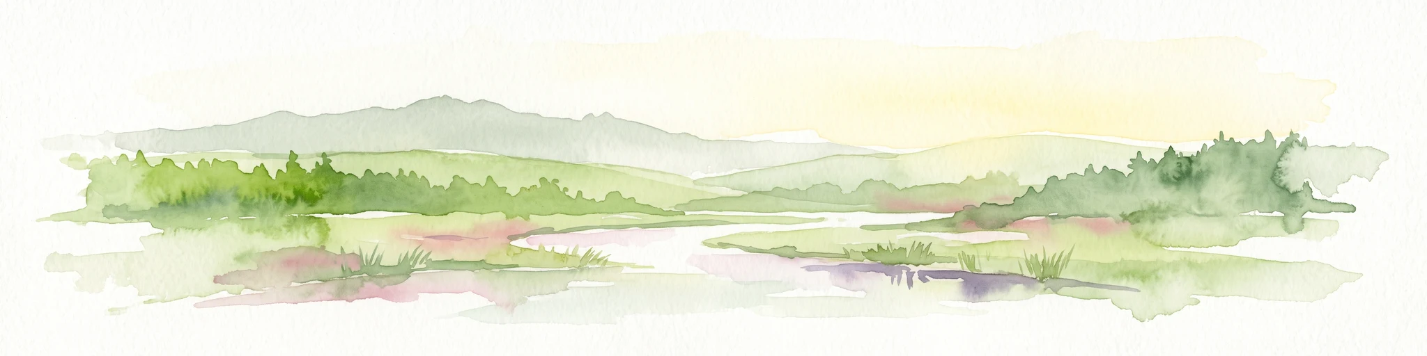
A horizontal watercolor painting showing a serene valley landscape with distant rolling mountains, a central winding river or stream, and grassy banks in soft muted colors.
Nature reserveGermany
About 14 km away#13 closest

West

Morgenbachtal Nature Reserve: A Geographic Atlas of the Middle Rhine Slate Cliffs

Exploration of the Binger Wald protected valley and its geological terrain.

Morgenbachtal presents a unique geographic profile characterized by two distinct ridge lines of crystalline slate cliffs. This protected area in Germany balances strict conservation with a complex landscape of narrow ravines, mixed forests, and historical landmarks like the Steckeschlääferklamm gorge and medieval castle ruins along the Rhine.

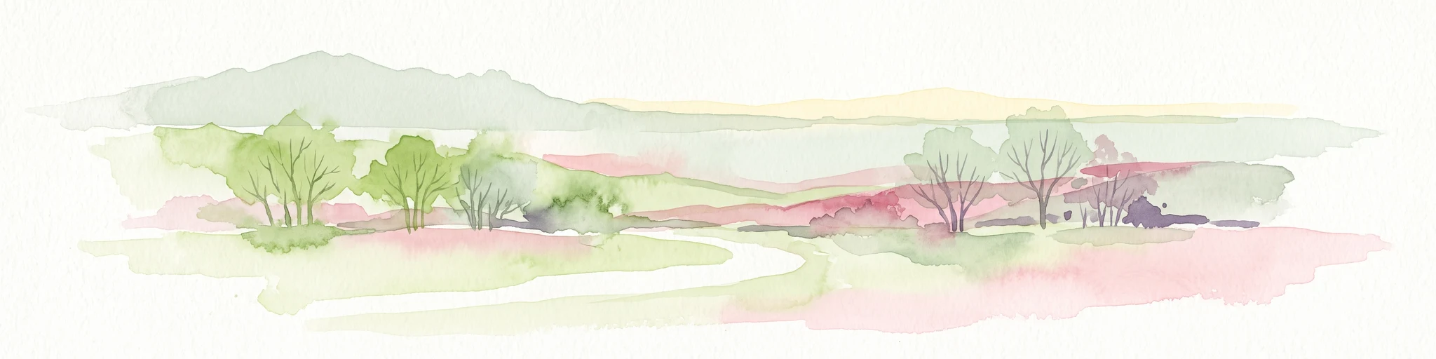
A horizontal watercolor painting showing a river winding through lush green islands and low hills in the background.
Nature reserveHesse
16 km away#14 closest

West

Lorcher Werth Nature Reserve: Protected Rhine Island Geography and Floodplain Forest

An ecologically significant island pair in the Middle Rhine, Hesse.

Lorcher Werth is a unique river island complex in Hesse, Germany, designated as a nature reserve and European Habitats Directive site. These uninhabited islands act as a vital refuge for floodplain habitats, currently undergoing a transformation toward natural Auwald forest. This site provides a rare, flat fluvial counterpoint to the surrounding steep and narrow landscapes of the Middle Rhine corridor.

Area
0.129 km²
Relief
Lowland
Climate
Temperate
Access
Highly restricted
Watercolor painting of a gentle green valley with scattered trees and a winding path, featuring soft pastel tones.
Nature reserveHessen
About 17 km away#15 closest

North

Pohlbachtal bei Adolfseck Nature Reserve: Geography and Protected Area Profile

Western Hintertaunus mosaic landscape in Hessen

Pohlbachtal bei Adolfseck protects a near-natural brook valley and surrounding slopes within the Rhein-Taunus Nature Park. This reserve sustains diverse habitats, from wet meadow floodplains to deciduous forest fringes, while preserving historical layers like the Roman Limes along its valley edges in Hessen.

Area
0.226 km²
Established
1990
IUCN
IV
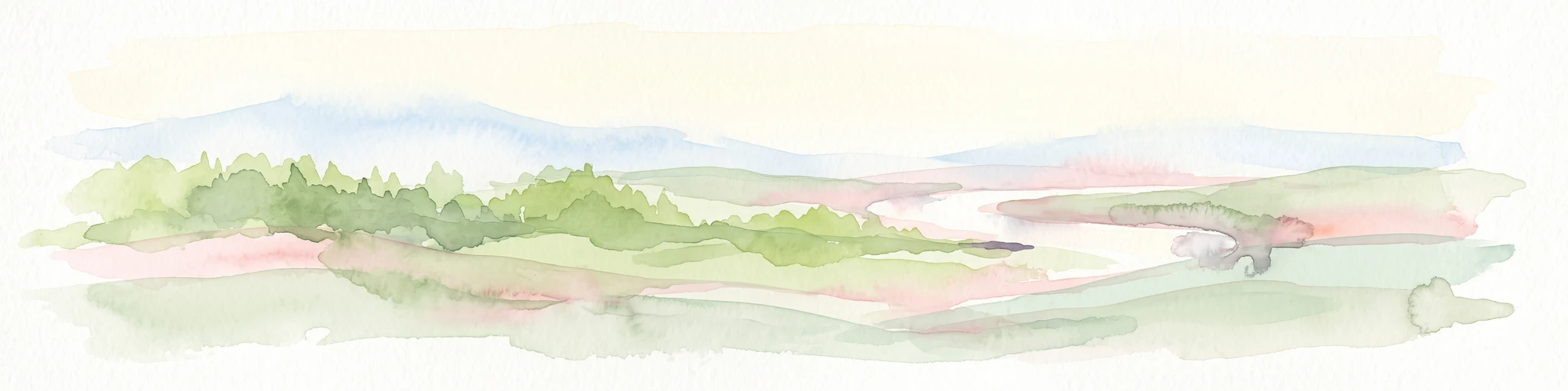
Watercolor painting of a green wetland landscape with a winding river and distant blue hills against a pale sky.
Nature reserveRhineland-Palatinate
About 17 km away#16 closest

East

Laubenheimer-Bodenheimer Ried Nature Reserve in Rhineland-Palatinate: An Atlas of Protected Floodplain Habitats

A vital protected mosaic of reedbeds, wet meadows, and rare dike grasslands in the Upper Rhine region.

The Laubenheimer-Bodenheimer Ried functions as a crucial nature reserve that captures the historical movement of the Rhine through its network of ponds and channels. This area protects a high concentration of botanical diversity and serves as a landmark for regional birding, centered around its prominent stork colony. The reserve offers a clear look at how human-modified landscapes, such as former clay pits, have transitioned into high-value conservation sites.

Area
1.8 km²
Established
1982
Relief
Lowland
Climate
Temperate
Nature reserveHesse
About 21 km away#17 closest

East

Prügelwiesen bei Wiesbaden in Breckenheim: Protected Fen and Meadow Nature Reserve

Mapped landscapes and wetland conservation in Hesse, Germany

Prügelwiesen bei Wiesbaden in Breckenheim preserves a diverse wetland ecosystem featuring calcareous fens, sedge beds, and traditional orchard meadows. Located in the Rhine-Main region, this nature reserve offers a look into rare grassland communities and groundwater-dependent habitats that characterize the transition between the Taunus foothills and the Main lowlands.

Area
0.079 km²
Established
1994
IUCN
IV
Relief
Lowland
A soft, painterly watercolor illustration depicting a winding river flowing through a lush green valley with rolling hills in the background.
Nature reserveRheinland-Pfalz
About 25 km away#18 closest

South

Im Briehl/Schafwiese Nature Reserve: Selz River Floodplain and Wetland Geography

A restored riverine landscape in Rheinland-Pfalz

The Im Briehl/Schafwiese nature reserve is a protected fragment of the Selz river floodplain in Rheinland-Pfalz. This site is defined by its 2020 to 2021 renaturation, which replaced straight channels with a meandering course, creating a mosaic of damp meadows, reed beds, and still-water biotopes within an agricultural landscape.

Area
0.23 km²
Established
1990
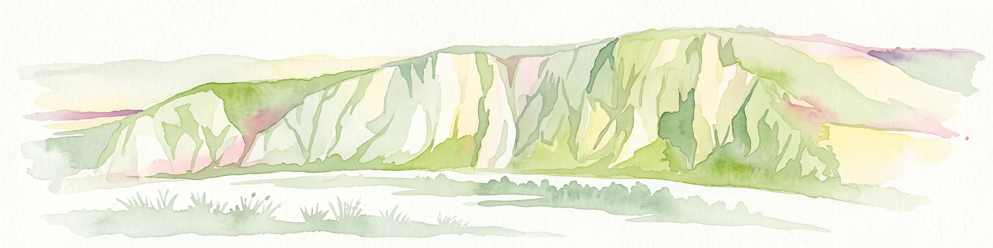
A horizontal watercolor painting depicting a wide, jagged rock cliff face with green hills, set against a plain background.
Nature reserveRheinland-Pfalz
About 26 km away#19 closest

Southwest

Rotenfels Nature Reserve: A Geographical Portrait of the Nahe Valley Rhyolite Cliff

Geological landscape and protected habitat in Rheinland-Pfalz.

The Rotenfels nature reserve is anchored by a massive 200 meter high rock wall formed from red rhyolite. This protected landscape is recognized for its vertical drop into the Nahe River valley, creating a distinct microclimate that supports specialized cliff vegetation and raptor habitats within a traditionally farmed viticultural region.

Area
0.91 km²
Established
1939
Relief
Mountain
Climate
Temperate
A soft watercolor painting depicting rolling green hills and a forested landscape under a pale, sunrise-hued sky.
Nature reserveHessen
26 km away#20 closest

Northeast

Rossert - Hainkopf - Dachsbau Nature Reserve: Geography and Protected Taunus Forest Landscapes

A preserved ridge system in the Hessen region of Germany

The Rossert - Hainkopf - Dachsbau nature reserve represents a compact but ecologically vital ridge system in the Taunus foothills. Spanning over 120 hectares of mixed forest, this protected area preserves the transition between woodland and open meadow while securing the headwaters of the Wellbach stream within its geographic boundaries.

Area
1.19 km²
Established
1977
IUCN
IV
Distance methodology

Geographic measurements, not driving distances

How nearby park distances are calculated

Distances use park boundaries whenever the available geometry allows it. When one or both boundaries are missing, the mapped park locations provide a clearly labelled estimate. Every value represents straight-line geographic separation and does not use roads or routing.

Boundary distance

Calculated between the nearest points of both park boundaries.

Location-to-boundary estimate

Estimated from one mapped park location to the nearest boundary of the other park.

Mapped-location estimate

Estimated between the mapped locations of both parks.

MoriAtlas Explorer

Continue Exploring the Protected Landscape of Mariannenaue in the Upper Rhine

Gain a deeper understanding of the Mariannenaue nature reserve by examining its unique position within the Rhine river system. This MoriAtlas entry provides structured details on the island's floodplain forest composition, its protected water channels, and the surrounding agricultural geography of the Rheingau region.