Mori Atlas logo
Park earthquake history

Explore historical earthquake data indexed by epicentre distance and seismic magnitude metrics.

Recorded Seismic History and Earthquake Activity Near Monterey Bay National Marine Sanctuary

This collection provides a searchable index of historical earthquake activity occurring in the vicinity of Monterey Bay National Marine Sanctuary. Records include essential data such as event dates, magnitude ratings, depth, and calculated distance from the sanctuary boundaries. Each entry draws from authoritative seismic databases to offer a clear, transparent view of past regional activity for researchers and geography enthusiasts.

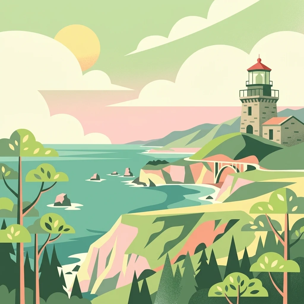
A digital illustration of a coastline featuring a stone lighthouse on a cliff, a bridge spanning a small inlet, and a pine forest in the foreground under a soft sun.

A federally protected stretch of California's central coast supporting one of the world's most diverse marine ecosystems.

Monterey Bay National Marine Sanctuary

Monterey Bay National Marine Sanctuary (MBNMS) is a federally protected marine area off California's central coast, stretching along 276 miles of shoreline from just north of the Golden Gate Bridge at San Francisco to the town of Cambria in San Luis Obispo County. Encompassing over 6,000 square miles of ocean, the sanctuary supports one of the most diverse marine ecosystems on Earth, with habitats ranging from kelp forests and nearshore rocky reefs to the deep waters of the Monterey Submarine Canyon. Designated on September 18, 1992, the sanctuary is managed by NOAA's Office of National Marine Sanctuaries for resource protection, research, education, and compatible public use. It is home to whales, sea otters, seals, hundreds of fish species, sea turtles, and vast underwater kelp forests, while also preserving cultural heritage in the form of shipwrecks and prehistoric coastal sites. The sanctuary is integral to the regional identity of California's central coast, supporting ecotourism, recreational activities such as kayaking and diving, and commercial fisheries including Dungeness crab and market squid. Its protection bans offshore oil drilling and seabed mining, reflecting its role as one of the most important marine protected areas in the United States.

Location
United States of America
Park type
Marine protected area
Established
1992
Area
15,780 km²
Monterey Bay National Marine Sanctuary Map

Review Monterey Bay National Marine Sanctuary events and distances

Earthquakes near Monterey Bay National Marine Sanctuary

Monterey Bay National Marine Sanctuary earthquake observations are associated by epicentre and sanctuary distance, rather than automatic boundary inclusion. Investigate dates, magnitudes, depths, places, distances, and sources as historical evidence without claiming bay, marine, or sanctuary-driven seismicity, assessing present danger, or predicting events.

Sort by
Magnitude
Location

This page describes catalogued earthquakes associated with the park by epicentre location and distance. It does not establish causation, assess current danger, or predict future earthquakes.

No earthquake records match the current filters

Park atlas

Beyond Monterey Bay National Marine Sanctuary earthquake data

More parks after Monterey Bay National Marine Sanctuary

Once earthquake browsing around Monterey Bay National Marine Sanctuary concludes, readers can leave California's Pacific kelp forests and Big Sur coast for wider protected-area discovery. Those destinations do not establish shared sanctuary status, marine habitat, geographic closeness, geology, seismic observations, hazards, risk, coastal context, or matching documentation.
Marine protected areaCalifornia
Park boundaries overlap#1 closest

North

Greater Farallones National Marine Sanctuary: Protected Marine Geography and Atlas Data

Essential marine protected area off the coast of California.

Greater Farallones National Marine Sanctuary protects a vital network of oceanic habitats off California, including sandy beaches, tidal flats, subtidal reefs, and open ocean waters. This marine protected area serves as a critical link in the Pacific coast's network of conservation landscapes, offering a deep look at the geographic connectivity between coastal estuaries and offshore continental shelf environments.

Area
8,530 km²
Established
1981
Relief
Lowland
Climate
Mediterranean
Watercolor painting of a mountain landscape with forested foothills and a valley in the foreground.
Protected landscapeCalifornia
Park boundaries overlap#2 closest

Southeast

Los Padres National Forest: Geography and Protected Landscape Map of Central California

Extensive wilderness corridors and high mountain ridges

Spanning from the Big Sur coastline to the interior ranges of the Santa Lucia and San Rafael mountains, Los Padres National Forest represents a significant protected area in California. The region contains deep gorges, forest-covered canyons, and high-altitude pine ridges that provide essential habitat and support major river headwaters.

Area
7,700 km²
Established
1936
Relief
Mountain
Climate
Mediterranean
Watercolor illustration of a low lying marsh landscape with distant soft pink hills and green vegetation under a white background.
Nature reserveCalifornia
About 1.2 km away#3 closest

East

Elkhorn Slough National Estuarine Research Reserve: Protected Landscapes and Coastal Geography

Mapping the tidal ecosystems of Monterey Bay, California

Located near Watsonville, California, this nature reserve protects a vital estuarine ecosystem marked by tidal channels, mudflats, and oak woodlands. It functions as a key site for coastal research, providing a clear window into the ecology and protected terrain of one of the largest salt marshes remaining on the California coastline.

Area
6.9 km²
Relief
Lowland
Climate
Mediterranean
Access
Easy access
A horizontal watercolor painting showing a rolling landscape with a pond in the foreground, small hills in the background, and soft-colored wildflowers on the banks.
Protected landscapeCalifornia
About 4.9 km away#4 closest

North

Golden Gate National Recreation Area: A Mapped Protected Landscape in California

Coastal geography and historical park terrain overview

An expansive network of protected lands encompassing Pacific shorelines, Marin headlands, and urban forest ecosystems. This recreation area provides a detailed look at the geographic connectivity between coastal redwood groves, military fortifications, and restored wetland corridors within the California Bay Area region.

Area
332.31 km²
Established
1972
IUCN
V
Visitors
15M annual
Watercolor painting of soft, rolling green hills and landscape against a pale background.
Protected landscapeMarin County
7.1 km away#5 closest

North

Point Reyes National Seashore: Exploring the Protected Landscapes of Marin County

Geology, coastal estuaries, and Pacific wilderness boundaries

Point Reyes National Seashore offers a deep look into California coastal geography. The protected area features the dramatic San Andreas Fault, expansive Douglas-fir forests, and rich estuarine habitats, providing an essential study of maritime conservation landscapes and rare breeding grounds for elephant seals and tule elk.

Area
287.44 km²
Established
1962
IUCN
V
Visitors
2.3M annual
Marine protected areaCalifornia
38 km away#6 closest

Northwest

Cordell Bank National Marine Sanctuary: Geographic Atlas and Marine Protected Area Context

Submerged granite seamount and offshore California marine ecosystem

Cordell Bank National Marine Sanctuary is an expansive protected marine zone situated off the California coast. The sanctuary preserves a rare granite underwater mountain that acts as a biodiversity hotspot. Learn about the submerged terrain, continental shelf boundaries, and ecological importance of this significant North American marine conservation area.

Area
3,330 km²
Established
1989
Relief
Lowland
Climate
Mediterranean
A horizontal watercolor painting depicting a wide, winding river flowing through a coastal valley with rolling hills in the background and sparse green vegetation in the foreground.
Marine protected areaCalifornia
48 km away#7 closest

Southeast

Chumash Heritage National Marine Sanctuary: California Marine Protected Area Atlas

Mapping coastal transition zones and submarine seafloor features

Spanning over 4,500 square miles off the Central Coast of California, the Chumash Heritage National Marine Sanctuary represents a critical ecological intersection between northern and southern marine species. The sanctuary includes dramatic underwater terrain like Arguello Canyon, Rodriguez Seamount, and the Santa Lucia Bank, creating a complex habitat that sustains kelp forests and diverse maritime resources.

Area
11,770 km²
Established
2024
IUCN
V
Relief
Mixed relief
National parkCalifornia
51 km away#8 closest

East

Pinnacles National Park: California National Park Geographic Discovery and Map Context

Explore unique protected landscape and regional terrain.

Delve into the protected landscape of Pinnacles National Park, a significant natural area within California. This page offers an atlas-centered view of its unique geological formations and mapped terrain, providing essential context for understanding its geographic identity. Explore the park's specific landscape characteristics and its relation to the broader regional geography and protected areas.

Area
107.67 km²
Established
2013
IUCN
II
Visitors
275K annual
MoriAtlas Explorer

Explore the Geographic Boundaries of Monterey Bay National Marine Sanctuary

Continue discovering the marine landscape of Monterey Bay National Marine Sanctuary. MoriAtlas provides a clear view into the protected boundaries, submarine terrain, and coastal geography of this essential California sanctuary, helping you understand its role within the broader Pacific marine environment.