
Capes
Park geography
Structured data on coastal terrain, land span, and associated natural features in the Pilbara region
Comprehensive Geographic Profile and Mapped Boundaries for Murujuga National Park, Australia
Review the geographic scope of Murujuga National Park located in the Pilbara region of Australia. This structured profile maps the 48.51 square kilometer territory and identifies key landmarks including Mount Burrup, the Burrup Peninsula, and the surrounding Searipple Passage wetlands within the arid landscape.
Related tags
Rock ArtAboriginal HeritageWorld Heritage SiteCoastal LandscapePilbara
Protecting the world's densest concentration of ancient Aboriginal rock art on the Burrup Peninsula
Murujuga National Park
Murujuga National Park is a significant protected area located on the Burrup Peninsula in the Pilbara region of northwestern Western Australia. Established on 17 January 2013 as the 100th national park in Western Australia, the park covers approximately 48.51 square kilometers of dramatic coastline and inland terrain. The park holds exceptional global significance as the location of the world's highest concentration of ancient petroglyphs, with over ten thousand rock engravings created by the region's Aboriginal peoples over thousands of years. These rock art images depict animals, human figures, and geometric patterns that represent one of the oldest continuous artistic traditions on Earth. In July 2025, UNESCO inscribed the Murujuga Cultural Landscape as a World Heritage Site, recognizing its outstanding universal value as a cultural heritage landscape.
- Location
- Australia
- Park type
- National park
- Established
- 2013
- Area
- 48.5 km²
Location overview
Administrative boundaries and coastal status in the Pilbara region
Geographic Location of Murujuga National Park in Western Australia
Murujuga National Park is situated within the Pilbara region of Western Australia. Coastal classification and Australian national oversight anchor the geographic profile of the protected area.
- Countries
- Australia
- Regions
- Pilbara, Western Australia
- Primary location
- Pilbara
- Geographic setting
- Coastal
Boundary and coordinates
Interactive boundary geometry and derived spatial measurements
Murujuga National Park Boundary Map and Spatial Extent
The mapped outline provides spatial context for understanding the protected area configuration. Accompanying facts detail the recorded area, coordinate limits, and geographic spans without claiming legal survey precision.
- Boundary area
- 51.4 km²
- Boundary perimeter
- 96 km
- Northernmost point
- 20.5215° S
- Southernmost point
- 20.6736° S
- Easternmost point
- 116.8674° E
- Westernmost point
- 116.7349° E
- Geographic centre
- 20.5861° S, 116.807° E
- North–south span
- 16.8 km
- East–west span
- 13.8 km
Terrain and natural features
Explore recorded capes, wetlands, peaks, and peninsulas within the park boundary.
Murujuga National Park Terrain and Named Natural Features
Examine stored terrain classifications alongside recorded named natural features located within Murujuga National Park. Linked feature cards supply official names, feature types, measurements, and spatial relationships where documented.
Selected named natural features
Wetlands
Searipple Passage
Peaks
Mount Burrup
129 m
Peninsulas
Burrup Peninsula
Environmental setting
Arid climate profiles and coastal landscape features across the park
Murujuga National Park Environmental Setting and Coastal Classification
Recorded classifications group coastal geography and arid climate parameters into structured interpretive categories for the protected terrain. Linked atlas pathways connect these physical attributes to broader regional protected-area contexts.
- Climate
- Arid
- Forest cover
- No forest cover
Landscape features
Coast
Park atlas
Trace the regional protected landscape spread and compare similar park geography around the Pilbara.
Explore Nearby National Parks and Protected Areas Beyond Murujuga National Park
Discover additional national parks and protected areas situated within Western Australia's Pilbara region and its surrounding coastal geography. Expand your exploration of unique ancient cultural landscapes and diverse protected terrain by comparing similar park entities across the mapped atlas.
Marine protected areaWestern Australia
20 km away#1 closest
Northeast

Dampier Marine Park: Geographic Overview and Marine Protected Area Mapping
Protected shelf ecosystems of the Pilbara coast, Western Australia
Dampier Marine Park spans a mosaic of shallow shelf waters near the Dampier Archipelago. This protected area integrates diverse management zones to support migratory pathways for marine megafauna and preserve benthic habitats across the Northwest Shelf Province. Understanding its boundaries provides insight into the intersection of conservation and marine spatial planning in one of Australia's most significant coastal bioregions.
- Area
- 1,252 km²
- Established
- 2018
- IUCN
- VI
- Relief
- Lowland
National parkWestern Australia
60 km away#2 closest
South
Millstream Chichester National Park: A Mapped Protected Landscape in Western Australia
Explore its geographic spread and natural terrain features.
Millstream Chichester National Park is a designated national park within the vast geographic expanse of Western Australia. This entry provides detailed atlas-level information focused on its protected boundaries and distinct landscape characteristics. Understand the park's role within the regional geography and its significance as a mapped natural area for discovery and exploration.
- Area
- 2,381.67 km²
- Established
- 1970
- IUCN
- II
- Relief
- Mixed relief
Marine protected areaWestern Australia
111 km away#3 closest
West
Montebello Islands Marine Park: Western Australia Marine Protected Area Atlas
Mapping tropical reefs and archipelago terrain
Montebello Islands Marine Park preserves a significant archipelago and its surrounding tropical marine environment off the Pilbara coast. The area features extensive reef flats, mangrove communities, and deep oceanic waters that provide essential habitat for marine life and nesting sea turtles. Its physical profile includes a unique mix of natural reef-building processes and human history, making it a key component of the Western Australian marine conservation landscape.
- Area
- 583.44 km²
- Established
- 2004
- IUCN
- II
- Relief
- Lowland
National parkWestern Australia
212 km away#4 closest
Southeast
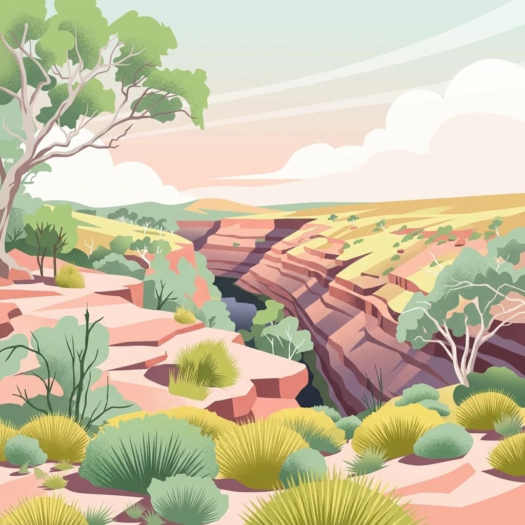
Karijini National Park
Mapped natural terrain and regional geography for this Australian national park.
Karijini National Park, in Western Australia, Australia. Landscapes: mountains, canyons, and cliffs.
- Area
- 6,274.22 km²
- Established
- 1969
- IUCN
- II
- Visitors
- 166K annual
Marine protected areaWestern Australia
283 km away#5 closest
Southwest
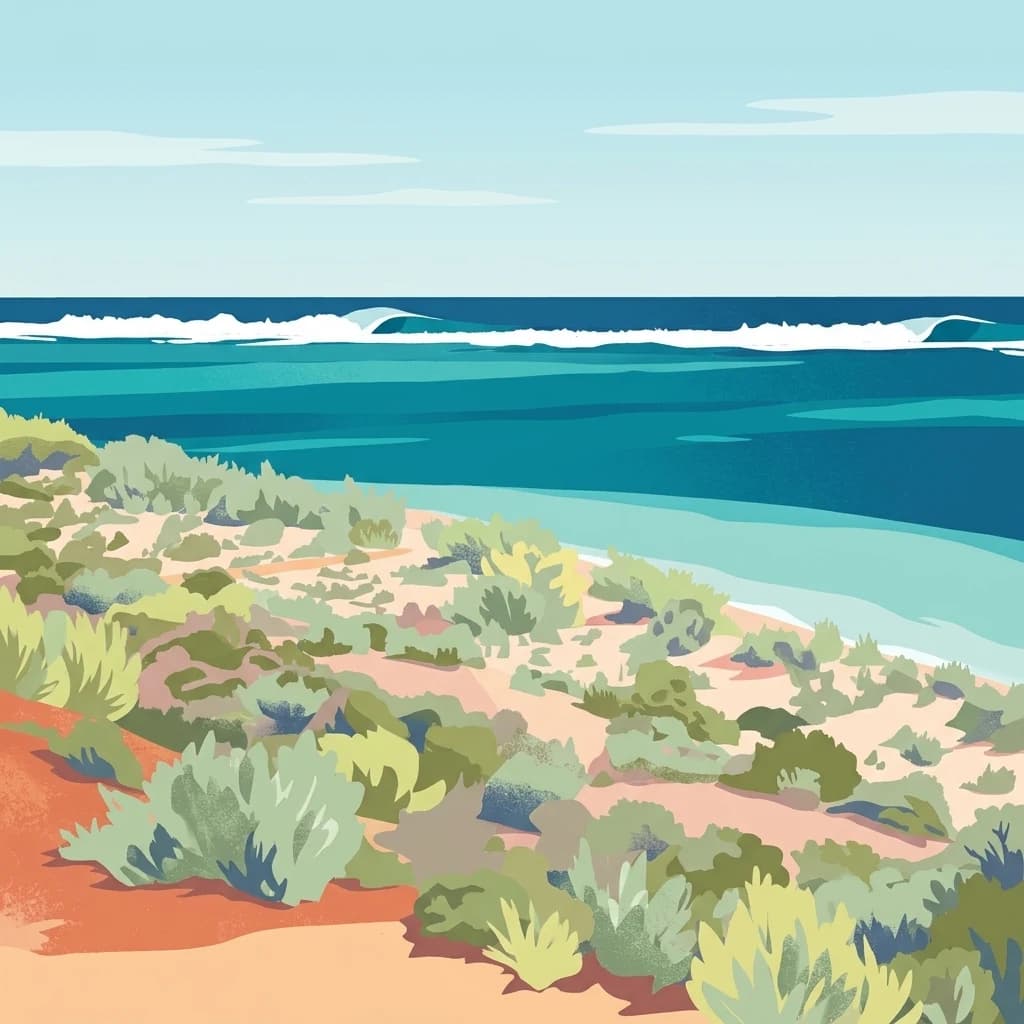
Ningaloo Marine Park: Mapping Western Australia's Protected Marine Geography and Habitats
Examining the oceanic shelf and reef environments of this key marine protected area
Ningaloo Marine Park safeguards a dynamic mosaic of shallow lagoons, reef edges, and deeper slope environments off the coast of Western Australia. This protected expanse is central to the regional conservation of whale shark feeding grounds and humpback whale migratory routes, offering a detailed perspective on the geomorphological character of the Central Western Shelf Transition.
- Area
- 2,435 km²
- Established
- 1987
- IUCN
- IV
- Relief
- Lowland
Marine protected areaWestern Australia
305 km away#6 closest
Southwest
Gascoyne Marine Park: Protected Marine Geography and Seafloor Terrain Map
Marine protected area situated along the Western Australian coast
Gascoyne Marine Park encompasses a significant offshore region defined by its shallow continental shelf and varied seafloor structures. This protected marine area supports vital habitats for migratory species and contributes to the broader ecological network of the North-west Marine Parks system, offering a clear view of specialized aquatic environments through detailed mapping.
- Area
- 81,766 km²
- Established
- 2018
- IUCN
- IV
- Relief
- Lowland
Marine protected areaWestern Australia
307 km away#7 closest
North
Argo-Rowley Terrace Marine Park: Mapped Geography and Marine Protected Area Context
Expansive oceanic territory within the Western Australian region
Argo-Rowley Terrace Marine Park represents a vast offshore environment protecting diverse aquatic life and unique seafloor features. This marine protected area bridges the gap between the isolated Rowley Shoals and deep-water abyssal hills. The region is essential for understanding the structural geology of the ocean floor, encompassing everything from shallow reefs to abyssal plains in the remote north-west of Australia.
- Area
- 146,003 km²
- Established
- 2018
- IUCN
- VI
- Relief
- Lowland
National parkWestern Australia
312 km away#8 closest
Southwest
Cape Range National Park: Exploring Western Australia's Protected Landscape Identity
Mapped boundaries and regional geographic context.
Cape Range National Park is a vital protected area located in Western Australia, offering a distinct geographic profile for atlas exploration. This entry focuses on its identity as a national park, detailing its mapped landscape and regional context. Users can discover the park's place within the state's diverse terrain and understand its significance as a mapped conservation area, contributing to a structured understanding of Australia's protected lands.
- Area
- 476.55 km²
- Established
- 1965
- IUCN
- II
- Relief
- Highland
MoriAtlas Explorer
Continue Exploring Murujuga National Park's Geographic Identity
Delve deeper into the atlas representation of Murujuga National Park. Understanding its specific location, protected land boundaries, and surrounding regional geography provides essential context for geographic discovery. This park's mapped details offer a focused view within the Pilbara's diverse natural landscapes for continued exploration.
Browse next
Global natural geography
Explore related park routes
Explore MoriAtlas Global ParksBrowse All MoriAtlas ParksGlobal Park Map DiscoveryMoriAtlas: Browse All CountriesBrowse All MoriAtlas ContinentsNational Park Environment AtlasGrand Canyon National Park AtlasYellowstone National Park AtlasYosemite National Park Atlas and GeographySerengeti National Park AtlasGalápagos National Park Protected LandscapeBanff National Park Geography and AtlasKruger National Park Atlas EntryExplore Uluru-Kata Tjuta National Park GeographyPlitvice Lakes National Park AtlasFiordland National Park Protected LandscapeGreat Smoky Mountains National Park AtlasZion National Park Protected Landscape AtlasAfghanistan National Parks and Protected AreasAlbania National Parks and Protected AreasAlgeria National Parks and Protected AreasAmerican Samoa National Parks and Protected AreasAndorra National Parks and Protected AreasAngola National Parks and Protected AreasAntarctica National Parks and Protected AreasAntigua and Barbuda Park List