Mori Atlas logo
Nearby park discovery

Map and explore the geographic distribution of protected lands surrounding this nature park.

Regional Protected Areas and Natural Landscapes Near Naturpark Münden in Lower Saxony

Trace the broader network of forested landscapes and conservation areas surrounding Naturpark Münden in southern Lower Saxony. This regional overview highlights the geographic relationships between neighboring protected sites, allowing for the comparison of terrain and topographical boundaries across the central German low mountain range.

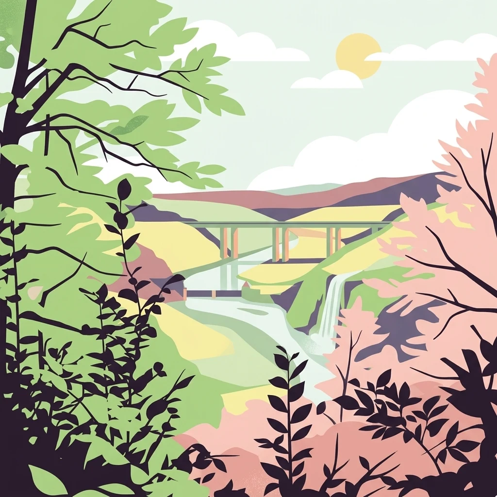
A flat-style digital illustration of a forested valley with a river, a bridge, and a small waterfall, framed by silhouetted tree branches in the foreground.

A forested nature park at the confluence of the Fulda, Werra, and Weser rivers in southern Lower Saxony.

Naturpark Münden

Naturpark Münden is a forested nature park in the Landkreis Göttingen region of southern Lower Saxony, Germany, situated around the historic town of Hann. Münden at the confluence of the Fulda and Werra rivers into the Weser. Established in 1959, the park stretches from the eastern edge of Kassel and the border with Hesse northward through the wooded landscapes of the Kaufunger Wald, the Bramwald, and the Dransfelder Stadtwald. With a heavily forested character and a network of ridges, valleys, and small summits reaching above 500 meters, the park is a representative example of the central German low mountain landscape. Today it functions as both a recreation area for residents of the Kassel and Göttingen region and a protected landscape supporting traditional hiking, nature education, and quiet rural tourism. The park is crossed by major transport corridors, including the A7 motorway, but its deeply forested interior retains a sense of remoteness, with numerous historic castles, medieval villages, ridge trails, and river crossing points anchoring it to the cultural as well as natural history of the Weser region. It borders the Geo-Naturpark Frau-Holle-Land to the south, placing it at the heart of the broader Werra-Weser-Meißner natural park network. Beyond its landscapes, Naturpark Münden serves as a dense web of hiking, walking, and nature discovery routes, including the Frau-Holle-Pfad, the Märchenlandweg, the Kassel-Steig, the Fuldahöhenweg, the Studentenpfad, and the Werraburgensteig. Its combination of gentle ridges, river valleys, historical sites, and woodland paths makes it a defining piece of the southern Lower Saxony outdoor experience.

Location
Germany
Park type
Protected landscape
Established
1959
Area
374 km²
Highest point
580 m
Naturpark Münden Protected Area Map
Regional park map

See the ranked park cluster in its geographic setting

Nearby parks around Naturpark Münden

This regional map shows the same 20 nearby parks ranked below around Naturpark Münden. Select a ranked marker to highlight that park’s boundary where boundary data is available.
Reference park: Naturpark MündenRanked nearby park20 nearby parks shown
20 nearby parks

Distance-ranked regional park geography and surrounding protected landscapes

Parks and Protected Areas Geographically Near Naturpark Münden

Explore a curated collection of protected areas ranked by direct geographic proximity to Naturpark Münden. This comparative index maps surrounding terrain patterns and regional boundaries to contextualize nearby conservation spaces.
A horizontal watercolor illustration depicting a river flowing through a lush green floodplain with trees and distant hills under a soft, light-colored sky.
Nature reserveHessen
About 7.8 km away#1 closest

Southwest

Fuldaschleuse Wolfsanger Nature Reserve: Geography and Protected Riverine Terrain

A restored floodplain ecosystem in the Hessen region.

Fuldaschleuse Wolfsanger stands as a masterfully restored nature reserve along the River Fulda. This compact 14-hectare site features a man-made island, shallow-water zones, and softwater floodplain forests that support over 120 bird species. Its layout provides a rare example of integrated conservation within a modern urban-edge environment, demonstrating the success of deliberate floodplain engineering for biodiversity.

Area
0.14 km²
Established
1985
IUCN
IV
Watercolor painting of a soft landscape featuring green trees and rolling hills in muted tones against a white background.
Nature reserveGermany
About 8.3 km away#2 closest

Northwest

Bruchwald am Gahrenberg Nature Reserve: A Protected Wetland Atlas of the Reinhardswald

Mapped terrain, bog woodland, and hydrological headwaters in Hessen

Located in the Reinhardswald forest massif, Bruchwald am Gahrenberg protects critical marsh and bog woodland habitats. The area serves as a primary source for regional streams, offering a dense, spring-fed landscape that stands out within the broader northern German wilderness.

Area
0.41 km²
Established
1992
Relief
Upland
Climate
Temperate
A horizontal watercolor illustration depicting rolling green hills, patches of forest, and a calm river in the foreground, rendered in soft, pastel tones.
Nature reserveHesse
About 8.7 km away#3 closest

West

Kragenhof bei Fuldatal Nature Reserve: Mapped Floodplain Landscapes in Hesse, Germany

Protected riparian ecosystems and river meander geography

Located in the state of Hesse, Kragenhof bei Fuldatal is a significant nature reserve protecting a complex mosaic of Fulda River floodplain habitats. The area features shifting currents, small wooded islands, and open grassland within a distinctive meander-driven landscape. Explore the geographic boundaries and ecological structure of this important regional waterbird refuge.

Area
0.077 km²
Established
1981
A minimalist watercolor painting featuring soft green trees and rolling hills in the background against a light, airy white backdrop.
Nature reserveWerra-Meißner-Kreis
About 9.9 km away#4 closest

East

Ermschwerder Heegen Nature Reserve: Muschelkalk Ridge and Floodplain Geography

Protected mosaic of forests, marshes, and meadows in northern Hesse

Ermschwerder Heegen preserves a compact but ecologically significant landscape in the Werra-Meißner-Kreis. Its unique topography features a limestone ridge dropping into the Werra valley, supporting a rich mixture of forest, orchard, and wetland habitats that rank among the most important in the region for biodiversity.

Area
0.37 km²
Established
1985
IUCN
IV
Protected areaEllerode
About 9.9 km away#5 closest

East

Kreideberg bei Ellerode Protected Area: Geography, Boundaries, and Landscape Map

A diverse calcareous forest habitat in northern Hesse

The Kreideberg bei Ellerode reserve showcases a unique geological character with its chalk-influenced substrate and rich botanical communities. This protected landscape encompasses old-growth beech stands, semi-dry grasslands, and rare calcareous spring features. The site represents an essential, compact habitat corridor within the broader Werra-Meißner-Kreis regional geography.

Area
0.571 km²
Established
1995
Relief
Upland
Climate
Temperate
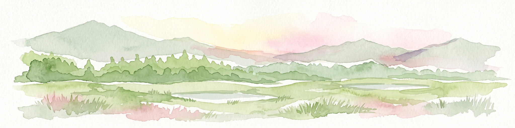
A soft watercolor illustration depicting a green, marshy landscape with small pools of water, a line of forest, and rolling hills in the background under a pale sky.
Nature reserveHesse
About 11 km away#6 closest

Northwest

Bruch an der Eichkanzel im Reinhardswald: Protected Nature Reserve Geography in Hesse

Mapped birch swamp forests and highland bog terrain

Examine the geographic profile of Bruch an der Eichkanzel im Reinhardswald, a nature reserve in Hesse defined by its upland plateau. Learn about the interaction between its birch swamp forests and open moorland habitats, characterized by sphagnum mosses and aquatic features, within the broader context of the Reinhardswald forest region.

Area
0.175 km²
Established
1992
Relief
Upland
Scope
Terrestrial
A horizontal watercolor painting showing a winding river flowing through a lush valley with forested hills in the background.
Protected areaHesse
About 11 km away#7 closest

East

Freudenthal bei Witzenhausen Protected Landscape and Wetland Geography in Hesse

A restored gravel pit wetland system in the northern Hesse Werra valley.

Freudenthal bei Witzenhausen represents a high-value conservation landscape within Hesse, serving as a primary site for breeding and migratory waterbirds. The reserve comprises three interconnected quarry lakes surrounded by alluvial woodland, ruderal vegetation, and meadows. This habitat mosaic is part of the Natura 2000 network, providing essential ecological connectivity within the riverine corridor of the lower Werra valley.

Area
0.76 km²
Established
1980
Relief
Lowland
Climate
Temperate
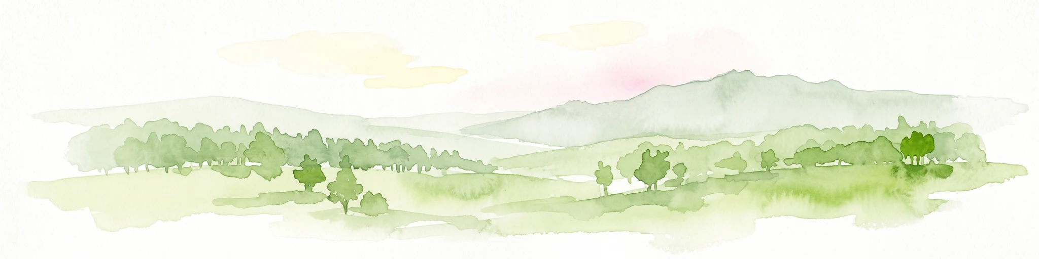
A horizontal watercolor illustration depicting rolling green hills, scattered trees, and soft mountain silhouettes against a pale sky.
Protected areaGermany
About 11 km away#8 closest

Southeast

Kalkmagerrasen bei Roßbach: Protected Calcareous Grassland and Juniper Landscape in Germany

Geographic atlas and protected area overview in Hesse

Kalkmagerrasen bei Roßbach consists of five distinct plots that protect rare Enzian Schillergras Rasen communities on shallow Zechstein limestone soils. This site remains a critical stronghold for diverse orchid populations and protected butterfly species within the Werra Meißner region. The mosaic of juniper, flowering herbs, and historic cherry orchards creates a unique Mediterranean character rarely found in central German hill country.

Area
0.551 km²
Established
1996
Relief
Upland
Climate
Temperate
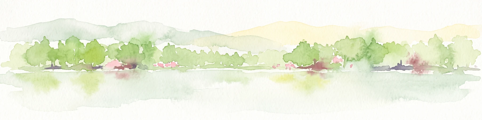
A soft watercolor illustration showing a band of green trees reflecting in calm water, with a light hilly background.
Nature reserveHessen
About 13 km away#9 closest

Northwest

Bennhäuser Teich und Rothbalzer Teich bei Immenhausen: Protected Nature Reserve and Landscape Atlas

Mapped woodland and wetland habitats in Hessen, Germany.

This nature reserve centers on historic impoundment ponds and complex valley hydrology. Its landscape features rare dragonfly habitats and successional carr woodlands that define the ecological identity of this protected area within the northern Hessen countryside.

Area
0.315 km²
Established
1998
Watercolor painting of a calm wetland landscape with soft green trees along the water edge under a light, misty sky.
Nature reserveHessen
About 15 km away#10 closest

Northwest

Rothenberg bei Burguffeln Protected Wetland Landscape and Nature Reserve in Hessen

A specialized pond and meadow mosaic in the Hessian lowlands

Rothenberg bei Burguffeln preserves a vital wetland complex near Immenhausen, structured across three distinct sections, including the Rothenküler Teich and Tonkaule. The area represents a significant example of culturally shaped lowland geography, blending historic aquaculture with contemporary habitat management. Its protected status reflects a commitment to maintaining intricate riparian corridors and meadow ecosystems within the wider Hessian countryside.

Area
0.278 km²
Established
1983
A soft watercolor illustration of a winding stream flowing through a green meadow with rolling hills in the background and a small cluster of pine trees in the foreground.
Nature reserveHessen
About 16 km away#11 closest

West

Jungfernbach und Brandteich bei Calden: Protected Forest and Stream Valley Geography

Regional nature reserve landscape located in northern Hessen

Examine the mapped boundaries and natural terrain of Jungfernbach und Brandteich bei Calden. This nature reserve offers a detailed look at lowland stream corridors, pond ecosystems, and riparian forest patches nestled within the rolling landscape of northern Hessen, reflecting the region's diverse protected land character.

Area
0.343 km²
Established
1985
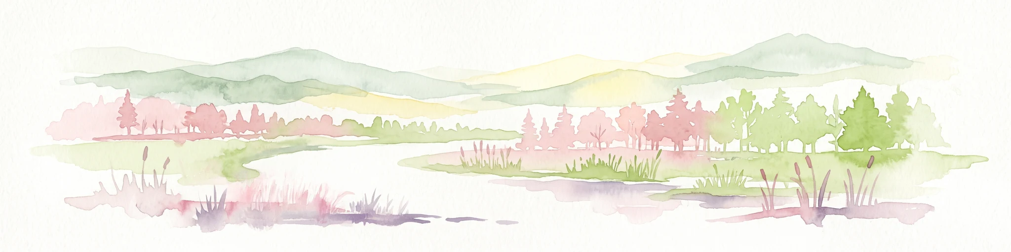
Watercolor painting of a pastoral landscape with light green hills in the distance, a field with flowering pink trees, and a pale green meadow in the foreground.
Nature reserveWerra-Meißner-Kreis
About 17 km away#12 closest

East

Ebenhöhe-Liebenberg Nature Reserve: Geography and Protected Habitat Mapping

Protected calcareous forests and dry grassland mosaic

Explore the mapped boundaries and natural terrain of the Ebenhöhe-Liebenberg nature reserve. This site provides a critical habitat mosaic including orchid-rich beech woodlands, nutrient-poor grasslands, and sandstone outcrops that form a significant conservation area within the Hessian highlands.

Area
142.48 km²
Established
1995
IUCN
IV
Relief
Upland
A watercolor painting in soft pastel tones showing a winding river or path flanked by small clusters of green trees, with gently rolling hills in the background against a white backdrop.
Nature reserveKassel
About 17 km away#13 closest

Southwest

Dönche Nature Reserve: Investigating the Protected Landscapes and Urban Geography of Kassel

Exploring the historic grassland and wetland mosaic in northern Hesse

Dönche serves as a primary example of an inner-city nature reserve in Germany, preserving 170 hectares of open countryside within the Kassel urban fabric. Its landscape is shaped by the Dönchebach and Krebsbach streams, forming a rhythmic structure of ponds, beech wood pastures, and tall herb communities that offer a deep look into regional ecology and historical land use.

Area
1.709 km²
Established
1983
Water
Minor water
Watercolor painting of a mountain landscape with green slopes, coniferous forests, and rocky outcroppings under a soft, light-filled sky.
Nature reserveHesse
About 17 km away#14 closest

Southeast

Meißner Nature Reserve in Northern Hesse: Mapping the Hoher Meißner Basaltic Massif

A comprehensive look at forest wilderness, bogs, and volcanic geology

Covering roughly 930 hectares, the Meißner nature reserve in northern Hesse protects an ecologically distinct upland landscape. The area features a significant basalt plateau, ancient scree slopes, mountain meadows, and hanging spring bogs, offering a prime example of protected central German topography and forest wilderness.

Area
9.322 km²
Established
1989
IUCN
IV
Relief
Mountain
A horizontal watercolor painting showing a soft, hazy landscape with green hills, patches of grass, and purple-tinted distant mountains under a white sky.
Nature reserveLandkreis Kassel
About 18 km away#15 closest

West

Keischel bei Weimar: Nature Reserve Protected Area and Regional Geography

A calcareous grassland mosaic in the Landkreis Kassel district

Keischel bei Weimar preserves a 19.7-hectare landscape defined by Muschelkalk limestone bedrock and traditional agricultural practices. This nature reserve serves as a critical refuge for specialized flora and insect species, showcasing the value of integrated land management within the broader West Hessian Depression and northern Hesse regional geography.

Area
0.197 km²
Established
1992
Relief
Upland
Climate
Temperate
A watercolor painting showing a tranquil river landscape with soft green hills and reflections in calm water.
Nature reserveHessen
About 19 km away#16 closest

North

Ochsenhof Nature Reserve: Wetland Geography and Weser Floodplain Protected Areas

A riparian landscape mosaic in northern Hessen, Germany.

Located at the border of the vast Reinhardswald forest, Ochsenhof protects a valuable riverine corridor featuring reclaimed gravel-pit lakes and diverse wetland vegetation. This nature reserve provides essential habitat for waterfowl along the Weser, functioning as a sheltered landscape pocket within the regional protected-area network of northern Hessen.

Area
0.24 km²
Established
1981
IUCN
IV
A soft, light-colored watercolor painting of a rolling hilly landscape with sparse trees and open grassy meadows.
Nature reserveWerra-Meißner-Kreis
About 20 km away#17 closest

Southeast

Bühlchen bei Weißenbach Nature Reserve: Protected Limestone Grasslands in Werra-Meißner-Kreis

Geographic atlas of a historic juniper heath and limestone hilltop.

Bühlchen bei Weißenbach represents a rare, semi-open cultural landscape shaped by centuries of sheep grazing on shell limestone summits. This nature reserve, integrated into the Natura 2000 network, offers a dense concentration of rare orchids and gentians across its rocky, nutrient-poor slopes, serving as a critical site for regional ecological study and landscape preservation.

Area
0.08 km²
Established
1985
IUCN
IV
Relief
Mountain
A watercolor painting showing a soft, green landscape with gentle rolling hills, small clusters of trees, and a small meandering stream, framed by delicate wild flowers in the foreground.
Nature reserveWerra-Meißner-Kreis
About 20 km away#18 closest

Southeast

Quellgebiet der Weißen Gelster: Nature Reserve Geography and Protected Area Mapping

Calcareous spring mires and wet meadows in Werra-Meißner-Kreis

Located at the foot of the Meinetsberg, Quellgebiet der Weißen Gelster features a series of groundwater-dependent habitats including Davall's sedge fens and golden oat meadows. The reserve represents a key segment of the regional protected-area network, preserving rare vegetation types on Keuper bedrock within a characteristic upland agricultural valley.

Area
0.115 km²
Established
1991
IUCN
IV
Relief
Upland
Protected landscapeHessen
About 21 km away#19 closest

Northwest

Naturpark Reinhardswald: A Comprehensive Protected Landscape Atlas for Northern Hessen

Mapping forest ecosystems and limestone river valleys

Naturpark Reinhardswald protects a diverse mosaic of environments across northern Hessen, characterized by the contrast between extensive sandstone-dominated forests and open limestone grasslands. The terrain features historic woodland pastures, basalt outcrops, and riverine floodplains, providing a significant regional network of nature reserves and protected areas that represent both upland forest and valley ecosystems.

Area
448.51 km²
Established
2017
Relief
Mixed relief
Scope
Terrestrial
Nature reserveHesse
About 21 km away#20 closest

Northwest

Kelzer Teiche Nature Reserve: Mapped Geography and Protected Wetland Boundaries in Hesse

A historic managed fishpond landscape in the Kassel region of northern Germany.

Kelzer Teiche encompasses 18.5 hectares of lowland countryside defined by its twin fishponds and fringe habitats. This nature reserve plays a recognizable role in the regional network of protected sites in Hesse, offering essential shelter for reed dwelling and migratory birds within a broader agricultural setting.

Area
0.185 km²
Established
1977
Water
Major water bodies
Distance methodology

Geographic measurements, not driving distances

How nearby park distances are calculated

Distances use park boundaries whenever the available geometry allows it. When one or both boundaries are missing, the mapped park locations provide a clearly labelled estimate. Every value represents straight-line geographic separation and does not use roads or routing.

Boundary distance

Calculated between the nearest points of both park boundaries.

Location-to-boundary estimate

Estimated from one mapped park location to the nearest boundary of the other park.

Mapped-location estimate

Estimated between the mapped locations of both parks.

MoriAtlas Explorer

Continue Exploring the Geographic Landscape of Naturpark Münden

Delve into the mapped terrain and environmental structure of Naturpark Münden within MoriAtlas. Review the park boundaries, forested ridge systems, and river-cut valleys that define this prominent Lower Saxony protected area, providing a detailed look at the region's natural composition.

Global natural geography