
Why Numrug National Park stands out
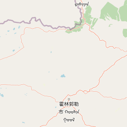
Numrug National Park is best known for occupying Mongolia's easternmost point, where the forested foothills of the Greater Khingan range give way to steppe and river valleys. The park's location along the Chinese border and its convergence zone between mountain woodland and open grassland make it a distinctive ecological outlier within Mongolia's protected areas. Its rivers, including the Degee, Numrug, and Khalkh, define the park's hydrological character and provide corridors of habitat that link forests with meadows and steppe.
Numrug National Park history and protected-area timeline
Numrug National Park was formally declared a protected area in 1992, placing its mountain woodland and river valley landscapes under national conservation jurisdiction. This designation reflected Mongolia's broader effort during the early post-Soviet period to formalize and expand its system of protected areas, particularly in regions that had previously seen limited conservation attention. The park's establishment helped secure protection for the forested edge of the Greater Khingan range within Mongolia, an ecosystem transition zone that differs markedly from the country's central grasslands.
While detailed histories of the park's individual development are limited, its creation marked a recognition that Mongolia's eastern frontier held distinct natural values worthy of preservation. Over time, the park has remained a remote and relatively lightly managed protected area, with its identity tied to its geography and natural character rather than to developments in tourism infrastructure or modern administrative history.
Numrug National Park landscape and geographic character
The landscape of Numrug National Park is defined by the westernmost foothills of the Greater Khingan range, where forested ridges gradually descend toward the open plains of Dornod. Within the park, terrain varies from low mountains and hills to river valleys and gentle steppe flats. The vegetation shifts accordingly, with coniferous and mixed woodland clinging to higher slopes and more open grassy areas occupying lower elevations, giving the park a layered visual character.
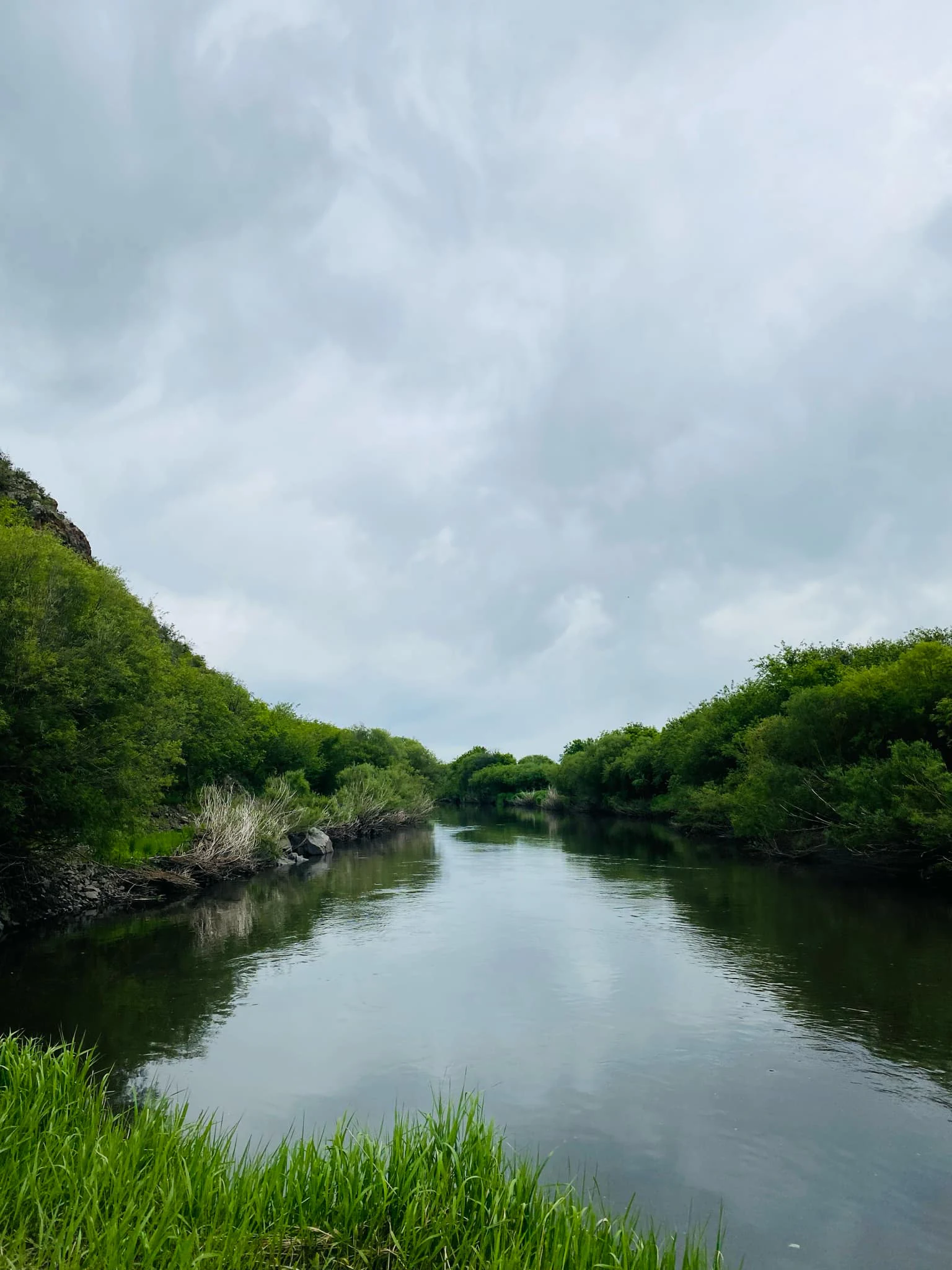
The Degee, Numrug, and Khalkh rivers are central to the park's geography. These rivers and their tributaries carve valleys through the hills, and their confluences create broader flat areas that contrast with the surrounding wooded slopes. The resulting mosaic of rock, forest, watercourse, and meadow is typical of the Khingan margin and provides much of the park's scenic diversity. Because the park lies along Mongolia's border with Inner Mongolia, the landscape continues seamlessly into Chinese territory, with the boundary forming more of a political than a topographic edge.
Numrug National Park ecosystems, habitats, and plant life
Numrug National Park sits at an ecological junction where the Great Khingan forests meet the eastern Mongolian steppe, producing a transitional environment uncommon elsewhere in the country. The higher and northern-facing slopes support tree cover associated with the Khingan system, while lower elevations and broad valleys open into grassland and meadow. The river corridors that thread through the park add riparian vegetation and moist microhabitats that contrast with both forest and steppe.
This ecological mixing gives Numrug a distinctive biodiversity profile. Habitats within the park support both forest-associated and steppe-associated species, and the riparian zones provide particularly rich conditions for flora and fauna. The park's relatively undisturbed character and its position along a major international boundary corridor also make it relevant to broader regional ecological patterns and to the movements of migratory species passing through eastern Mongolia.
Numrug National Park wildlife and species highlights
While specific wildlife records for Numrug National Park are limited in published sources, the park's habitat diversity suggests a varied animal presence typical of transition zones between forest and steppe. Forest-influenced slopes and river valleys in this part of eastern Mongolia are known to support deer and other ungulates, while the open steppe areas provide habitat for smaller mammals and grassland birds. Riparian corridors along the Degee, Numrug, and Khalkh rivers tend to attract both resident birdlife and migratory species, especially given the park's location along a broad north-south flyway corridor in eastern Asia.
The park's position at Mongolia's eastern edge, adjoining the Greater Khingan forests of Inner Mongolia, also gives it a role as a connective landscape between two large national jurisdictions. This connectivity is important for wide-ranging species that move across the borderland and depend on continuous habitat to sustain populations. Numrug's quiet and largely undeveloped conditions have helped preserve the kinds of wildlife behavior patterns that are increasingly rare in more heavily visited parts of Mongolia.
Numrug National Park conservation status and protection priorities
Numrug National Park was established in 1992 to protect a landscape that is geographically and ecologically distinct within Mongolia. Its conservation significance lies primarily in its position at the easternmost point of the country and at the interface between the forested Greater Khingan range and the Mongolian steppe. By placing this transitional zone under protected-area status, Mongolia recognized that the eastern borderland's mix of forest, river valley, and steppe ecosystems represents a national ecological asset that might otherwise be vulnerable to land-use change.
The park's interconnected river systems, including the Degee, Numrug, and Khalkh rivers, are central to its conservation value. These waterways sustain the riparian vegetation and moist microhabitats that give the park much of its biodiversity and that support many of the species that depend on it. Maintaining these rivers and their forested watersheds is therefore a key element of the park's ecological role, both within Mongolia and in the broader context of the cross-border Greater Khingan landscape.
Top sights and standout views in Numrug National Park
Numrug National Park's standout qualities come from where it sits rather than from any single iconic feature. It covers Mongolia's easternmost point, straddling the wooded foothills of the Greater Khingan and the open steppe of Dornod, and it carries a quiet, borderland atmosphere shaped by forested valleys and converging rivers. Its rivers, including the Degee, Numrug, and Khalkh, tie together the park's geography and give it a continuous thread of flowing water through woodland and meadow. Together, these qualities make Numrug a uniquely positioned park within Mongolia's protected-area network.
Best time to visit Numrug National Park
Like much of eastern Mongolia, Numrug experiences strong seasonal contrasts between cold, snowy winters and warm summers. Late spring through early autumn generally offers the most accessible conditions for experiencing the park's mix of forest and steppe, with river valleys and meadows at their most biologically active and the surrounding hills easy to traverse when free of snow. Summer brings the greenest landscapes and the most diverse wildlife activity, while autumn can highlight the contrast between the forested Khingan slopes and the surrounding steppe. Winter brings heavy cold and snow cover, transforming the park into a quiet, icy borderland landscape that is far less accessible for general visitors.