Peaks
Широко Стапало
2,415 m

Detailed analysis of terrain elevations, mountain landscapes, and regional park boundaries
Pelister National Park covers 171.5 square kilometers within the Municipality of Bitola in North Macedonia. This geographic profile details the park topography, including mountain peaks reaching 2601 meters, expansive forest cover, and diverse environmental features across the region.
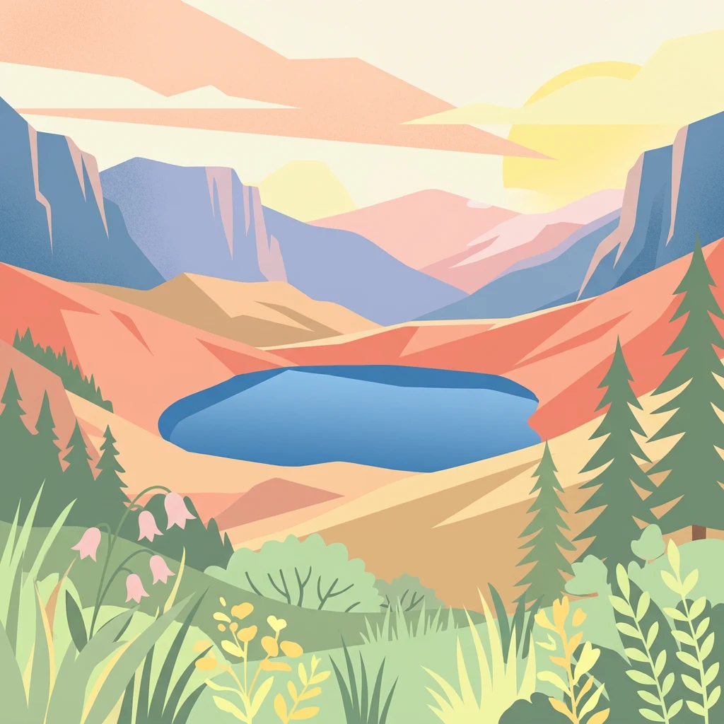
North Macedonia's oldest national park protecting endemic Macedonian pine forests and alpine glacial landscapes
Pelister National Park is North Macedonia's oldest protected area and one of the earliest national parks in the Balkans, established in 1948 as Yugoslavia's first national park. Located in the Baba Mountain massif in the southwestern region of the country within the Municipality of Bitola, the park encompasses dramatic alpine landscapes spanning elevations from 891 to 2,601 meters above sea level. The park covers approximately 17,150 hectares, representing about 43% of the entire Baba Mountain range, which is the third-highest mountain system in North Macedonia. Pelister is distinguished by its remarkable geological heritage, including distinctive Pleistocene-era granite stone rivers, glacial cirques, and moraines that create a unique geomorphological landscape unusual for this latitude. The park also contains two glacial lakes situated at around 2,200 meters, known locally as the Pelister Eyes or Forest Eyes, which add to the site's natural beauty and scientific interest.
Mapping the regional boundaries and territorial context in North Macedonia
Pelister National Park’s mapped boundary spans 171.5 km²
Mountain relief metrics and recorded natural physical features
Peaks
2,415 m
Peaks
2,310 m
Peaks
1,215 m
Natural springs
Streams
Natural springs
Temperate mountain relief, forest cover, and diverse habitat records
Mountains · Forest · Valleys · Cliffs · Lakes · Rivers
Temperate coniferous forest · Montane forest · Alpine meadow · Grassland
Explore the Regional Park Geography and Connected Protected Landscapes Around Pelister National Park
Southwest

A Ramsar wetland reserve and transboundary protected area
Prespa National Park encompasses 32,700 hectares of diverse habitats, from the shallow waters of Small Prespa Lake to the surrounding forested uplands. This protected area acts as a vital sanctuary for migratory bird species and endemic plants, offering a rich look at the ecological interplay between water, floodplains, and mountain terrain in northern Greece.
Southwest

Explore the geography and mapped boundaries of this vital national park.
Prespa National Park, located in Korçë County, Albania, is a protected area characterized by its significant high-altitude tectonic lakes, dramatic mountain landscapes, and vital wetland habitats. This entry provides a structured atlas-style overview of the park's geographic identity, its protected landscape features, and its ecological importance, serving as a key point of reference for understanding this unique Balkan region.
West

A tectonic mountain lake system in North Macedonia
Lake Ohrid represents a monumental protected landscape within the mountainous southwestern Balkans. As one of the oldest and deepest lakes in Europe, it serves as a critical refuge for unique endemic species that exist in its clear, oligotrophic waters. This area showcases the complex interplay between tectonic geological history, high-mountain terrain, and the sustained conservation of a globally significant natural basin.
Southwest
Mapping Albania's protected Silver fir woodland ecosystems
Explore the structured geography of the Fir of Drenovë-Sinicë Protected Landscape, a diverse expanse in Korçë County defined by its ancient Silver fir stands and karst cave systems. This area showcases a varied landscape of rocky monoliths, mountain lakes, and tectonic valleys that serve as a vital ecological record for the southeastern Albanian mountains.
West
Explore Elbasan County's significant mountain wilderness and protected natural features.
Shebenik National Park is a protected national park in Elbasan County, Albania, notable for its dramatic glacial terrain and extensive ancient forests. This park offers a deep dive into Albania's natural landscape, featuring 14 glacial lakes and serving as vital habitat. Its position within the Balkan Peninsula's geography makes it a key point of reference for understanding protected areas and mountain wilderness within a structured atlas.
West
A protected mosaic of Mediterranean woodlands and Pindus foothills
Spanning roughly 22 square kilometers near Pogradec, the Guri i Nikës-Lenie-Valamarë Protected Landscape protects a diverse array of forested slopes and freshwater habitats. This essential Balkan biological corridor provides a detailed look at the transition between dense woodland and scrub communities within the Pindus mountain system, highlighting its role as a key habitat for large carnivore populations.
Northwest
Mapped geography of Alpine peaks, gorges, and unique endemic species.
Mavrovo National Park, North Macedonia's largest protected area, offers a deep dive into a complex Alpine geography. Dominated by the Šar, Korab, and Bistra mountain systems, the park features towering peaks and the dramatic Radika River gorge. This protected landscape is globally significant for its role in conserving the rare Balkan lynx and harbors endemic tertiary relic plant species like Macedonian pine. Explore the mapped boundaries, glacial lakes, and distinct terrain that define this vital conservation area.
West
Explore Albania's dramatic mountain geography and protected areas.
Tomorr Mountain National Park offers a unique exploration of southern Albania's dramatic limestone anticline. Dominated by the sacred Mount Tomorr and featuring the spectacular Osum Canyon, this national park provides insight into karst terrain, old-growth forests, and significant biodiversity. Discover its mapped boundaries and regional geographic context within the Pindus Mountains for structured atlas exploration.
Delve deeper into the structured geographic data and landscape context of Pelister National Park. Understand its role as a protected area within Municipality of Bitola, examine its unique geological features like the stone rivers, and trace the extent of its alpine terrain. This exploration provides essential context for appreciating the park's natural significance and its place in the broader Balkan landscape.