Mori Atlas logo
National parkPetkeljärvi National Park

Explore the distinctive boreal forest, esker ridges, and historical landscape of this North Karelia national park.

Petkeljärvi National Park: Mapped Protected Landscape and Esker Geology in North Karelia

Petkeljärvi National Park is a protected national park located in the Ilomantsi municipality of North Karelia, Finland, near the Russian border. This protected landscape, covering approximately six square kilometers, is renowned for its exceptional esker formations, which shape the terrain into a unique ridge-and-dale topography. The park's open Scots pine forests and preserved historical fortifications offer a multifaceted discovery experience, providing rich context for its geographic and cultural identity within the eastern Finnish region.

Boreal forestEskersWar historyNorth KareliaFinland national parksUNESCO biosphere reserve

Petkeljärvi National Park

National park

Park overview

Structured park overview, official facts, and landscape profile for Petkeljärvi National Park

Petkeljärvi National Park park facts, protected area profile, and essential visitor context
Review the core facts for Petkeljärvi National Park, including designation, size, terrain, visitor scale, habitats, and operating context in one park-focused overview.

About Petkeljärvi National Park

Petkeljärvi National Park occupies a transitional zone between Finland's boreal forest interior and the more varied landscapes of the eastern borderlands. The park's terrain is shaped primarily by glacial meltwater deposits that formed extensive esker systems during the last Ice Age. These long, winding ridges of sand and gravel now traverse the forest, creating microhabitats that support specialized vegetation and distinctive scenery. The park's name itself references Lake Petkeljärvi, around which the protected area is centered.

The park's location in North Karelia places it within one of Finland's most sparsely populated and naturally extensive regions. Ilomantsi municipality, which contains the park, is known for its strong connection to Karelian culture and its proximity to the Russian Federation. This borderland setting has shaped not only the human history of the area but also the ecological character of the landscapes preserved within the park. The park serves as a preserve of the broader Karelian forest landscape, protecting representative examples of the region's natural character.

Recreational use of the park focuses on its network of marked trails, including the popular Kuikan kierros loop route that showcases the park's key landscapes from esker ridges to lakeside scenery. The park provides access for hiking, nature observation, and interpretation of its historical features, with facilities maintained by Metsähallitus to support visitor enjoyment while preserving the protected values.

Quick facts and research context for Petkeljärvi National Park

Petkeljärvi National Park lies in North Karelia, eastern Finland, near the village of Ilomantsi and the Russian border. The park encompasses roughly six square kilometers of boreal forest terrain with notable esker ridges, pine woodlands, and lake basins. Established in 1956, it operates under IUCN category II protection. The area contains restored fortification structures from the 1941-1944 Continuation War, adding historical dimension to its natural values. The park is part of the North-Karelian UNESCO biosphere reserve. Annual visitation reaches approximately 17,300 visitors.

Park context

Deeper park guide and search-rich context for Petkeljärvi National Park

Petkeljärvi National Park history, landscape, wildlife, and travel context
Explore Petkeljärvi National Park through its history, landscape character, ecosystems, wildlife, conservation priorities, cultural context, and seasonal travel timing in a structured park guide built for atlas discovery and search intent.

Why Petkeljärvi National Park stands out

Petkeljärvi National Park is best known for its exceptional esker formations, which create a distinctive ridge-and-dale topography uncommon among Finnish national parks. The park's light Scots pine forests, growing on sandy esker soils, present an open forest character quite different from the denser spruce-dominated forests found elsewhere in eastern Finland. The preserved wartime fortifications from the Continuation War, some of which have been restored, provide a unique cultural-historical dimension rarely found in Finland's protected areas. The combination of geological, ecological, and military heritage makes this park a distinctive destination within Finland's national park system.

Petkeljärvi National Park history and protected-area timeline

Petkeljärvi National Park was established in 1956 as part of Finland's post-war expansion of protected area networks. The establishment reflected growing recognition of the need to preserve representative samples of Finnish wilderness, particularly in border regions where large tracts of relatively intact forest remained. The park's founding came during a period when Finland was establishing its modern conservation framework, with national parks designated to protect both natural values and areas of cultural significance.

The park contains significant remains from the Continuation War, the conflict between Finland and the Soviet Union from 1941 to 1944. Military fortifications constructed during this period dot the landscape, representing a period when this border region saw active military activity. Some of these fortification structures have been preserved and restored, providing visitors with tangible evidence of the region's wartime history. The presence of these historical features adds a layer of cultural heritage to the park's natural values, creating a multidimensional protected area that preserves both ecological and historical landscapes.

The park's inclusion in the North-Karelian biosphere reserve, a UNESCO-recognized network, reflects its broader significance within regional conservation planning. This designation connects Petkeljärvi with Patvinsuo National Park and surrounding protected landscapes as part of a coordinated approach to preserving the ecological character of Finland's eastern borderlands.

Petkeljärvi National Park landscape and geographic character

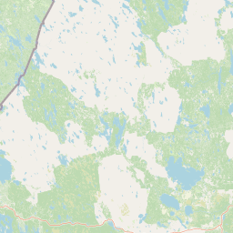
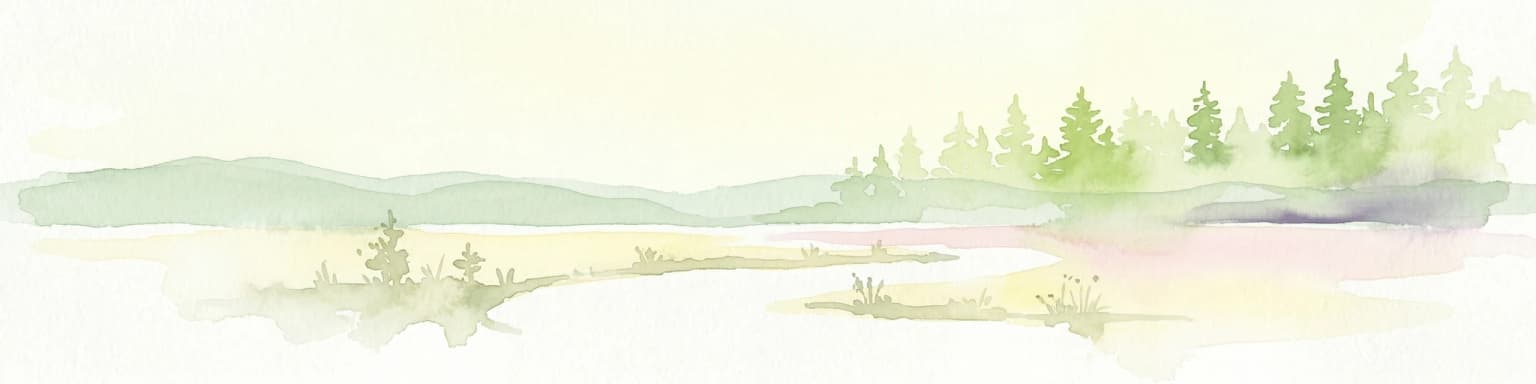
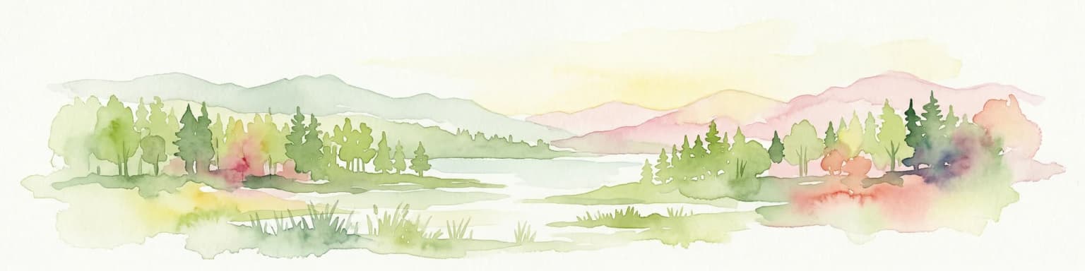
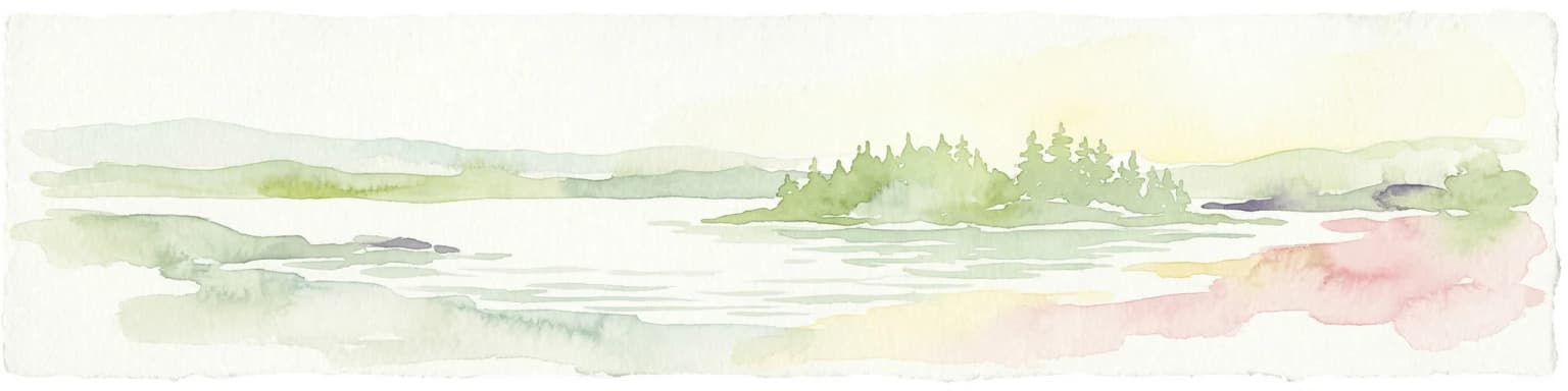
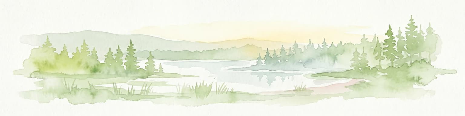
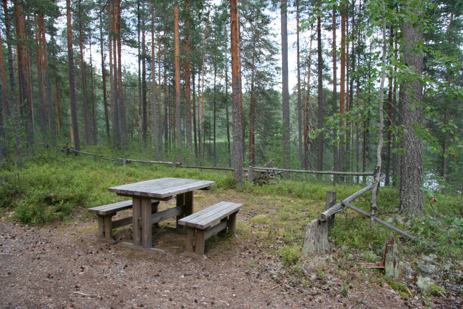
The landscape of Petkeljärvi National Park is defined by its glacial origins and the resulting esker formations that create the park's most distinctive topographic features. Eskers, formed by rivers flowing beneath ancient glacial ice, now appear as long, winding ridges of sand and gravel that traverse the otherwise flat terrain. These ridges, often covered in pine forest, create visual variety and habitat diversity within the relatively small park boundaries. The sandy soils of the eskers support vegetation communities distinct from the surrounding terrain.

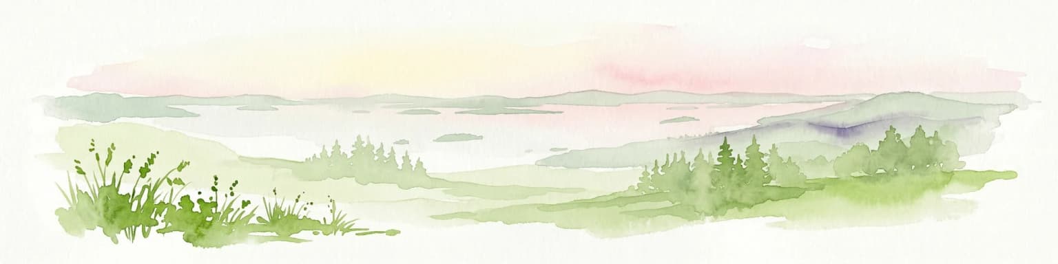
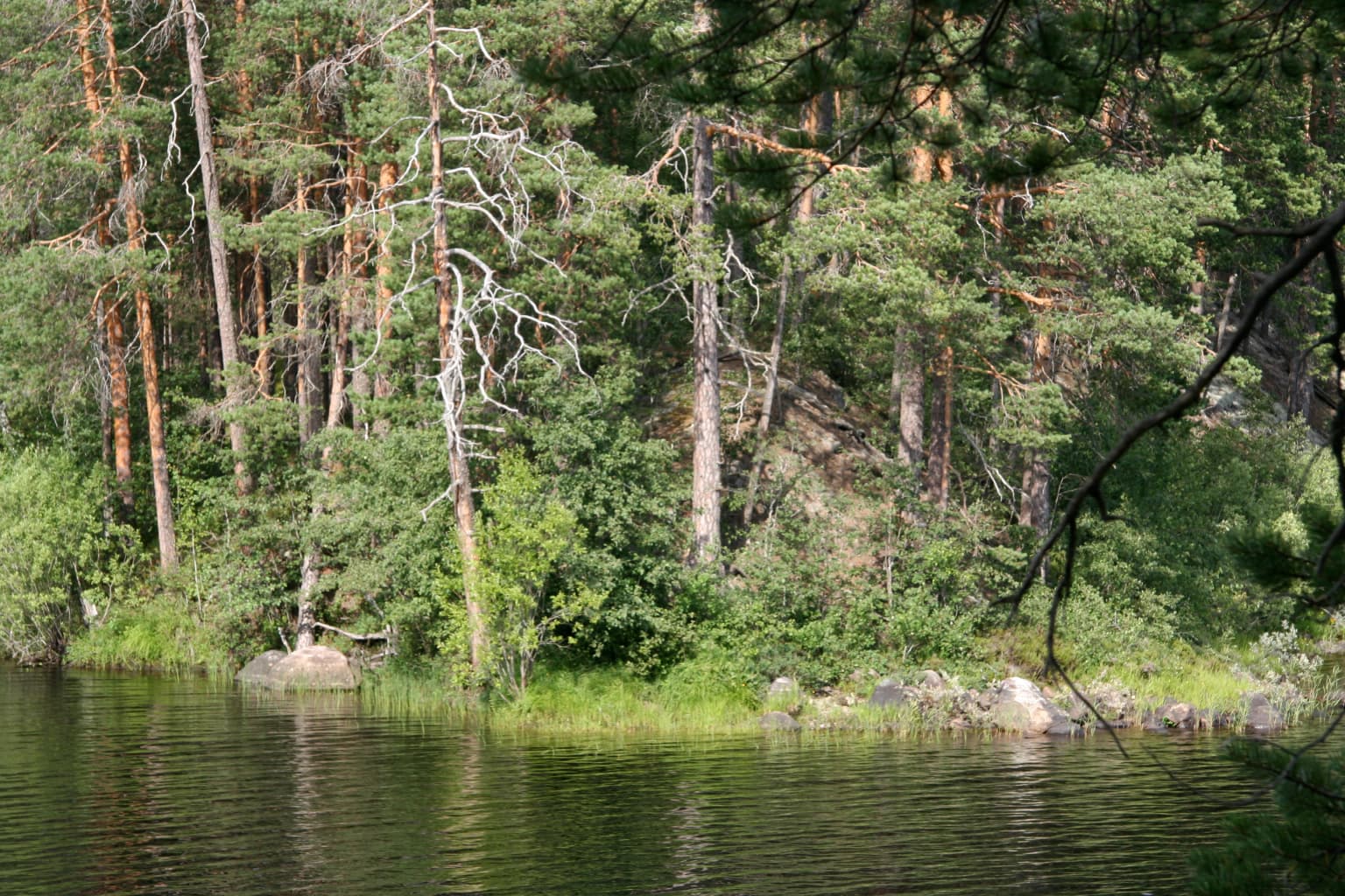
Between the esker ridges, the landscape includes lake basins, wetlands, and flat glacial till areas. Lake Petkeljärvi itself sits at the center of the park, providing open water habitat and lakeside scenery. The overall impression is one of gentle relief rather than dramatic elevation change, consistent with the broader character of Finnish lake district landscapes. The light Scots pine forests that dominate the park grow particularly well on the esker soils, creating the open, park-like character that distinguishes this area from denser forest types.

The park's relatively small size of approximately six square kilometers means that visitors can traverse the full range of landscape types within a single day's hike. The trail network connects esker ridges, lake shores, and forest areas, providing an accessible wilderness experience in a compact format.

Petkeljärvi National Park ecosystems, habitats, and plant life

The nature of Petkeljärvi National Park reflects the boreal forest ecosystem characteristic of eastern Finland. The dominant vegetation consists of light Scots pine forests growing on well-drained esker soils. These forests are relatively open, with a diverse ground layer of lichens and mosses that thrives in the sunny, dry conditions created by the canopy openness. The pine-dominated forests represent a common but important forest type within the broader Finnish landscape.

The esker formations create habitat heterogeneity within the relatively small park area. The ridges support warm, dry conditions favoring certain plant communities, while the intervening wetlands and lake margins provide contrasting habitats. This diversity supports a range of species adapted to different conditions. The lake environments add further ecological variety, providing habitat for waterfowl, fish, and riparian species.

As part of the North-Karelian biosphere reserve, the park contributes to the protection of representative boreal forest ecosystems within the UNESCO network. The biosphere reserve designation recognizes the park's role in preserving ecological character while also supporting compatible human uses of the surrounding landscape.

Petkeljärvi National Park wildlife and species highlights

The wildlife of Petkeljärvi reflects the boreal forest ecosystems of eastern Finland. The pine forests support populations of typical forest-dwelling species including squirrels, hares, and various small mammals. Birdlife is well-represented, with species associated with pine woodland and wetland habitats present in appropriate seasons. The lake and wetland areas attract waterfowl and marsh birds during migration periods and summer breeding seasons.

Larger mammals present in the region include moose, which frequent the forest edges and wetland areas, and roe deer, which have expanded their range in Finland in recent decades. The proximity to the Russian border means that some species with eastern distributions may occur in the area, reflecting the biogeographic position of North Karelia as a transition zone between Finnish and Russian faunal provinces.

The park's relatively small size and popular trail network mean that wildlife viewing opportunities are accessible to visitors who observe quietly in appropriate habitats. The open forest character of the pine-dominated areas makes wildlife somewhat more visible than in denser forest types.

Petkeljärvi National Park conservation status and protection priorities

Petkeljärvi National Park contributes to Finland's conservation network by protecting representative examples of eastern Finnish boreal forest landscape. The park's esker formations represent geological features of particular conservation value, as these ancient river deposits are fragile and vulnerable to disturbance. The park designation ensures protection of these features from development pressures that might otherwise affect them.

The park's inclusion in the North-Karelian biosphere reserve reflects its significance within a broader regional conservation framework. Biosphere reserves, as designated by UNESCO, are areas that combine protected core zones with surrounding zones that support sustainable use. This designation recognizes that Petkeljärvi functions not in isolation but as part of a larger landscape network that includes protected areas, managed forests, and human communities.

The wartime fortifications add a cultural dimension to the park's conservation profile, representing historical heritage that receives protection alongside natural values. This combination of natural and cultural heritage is uncommon among Finnish national parks and reflects the particular character of the borderland landscape.

Petkeljärvi National Park cultural meaning and human context

Petkeljärvi National Park lies within North Karelia, a region with strong Karelian cultural identity and a complex historical relationship with neighboring Russia. The park's setting near the Finnish-Russian border has shaped both the natural landscape and human history of the area. The fortifications preserved within the park are direct evidence of this borderland history, representing military events that shaped the region's twentieth-century development.

The Ilomantsi area has maintained connections to Karelian traditions, including distinctive architectural styles, food traditions, and cultural practices that distinguish the region from other parts of Finland. The park exists within this cultural context, providing natural settings that have been part of regional life for generations. The landscape itself bears the imprint of both natural processes and human activity over centuries.

The Finnish name Petkeljärven kansallispuisto provides the official local designation, reflecting the Finnish-language character of the area. This naming connects the park to local communities and governance structures.

Top sights and standout views in Petkeljärvi National Park

The most distinctive highlights of Petkeljärvi National Park include its well-preserved esker ridges, which create walking terrain quite different from typical flat Finnish forest. The Kuikan kierros trail loop provides an accessible way to experience the park's key landscapes, including views from esker tops across the lake and forest. The restored wartime fortifications offer a unique historical dimension rarely found in Finland's protected areas, providing tangible connection to the Continuation War period.

The park's compact size makes it suitable for half-day visits while still offering a genuine wilderness experience. The combination of natural pine forest, esker geology, lake scenery, and historical features creates a multifaceted destination that rewards visitors interested in diverse experiences. The park's biosphere reserve status connects it to a broader regional conservation story.

Best time to visit Petkeljärvi National Park

The best time to visit Petkeljärvi National Park is during the Finnish summer season from June through August, when warm weather allows full use of the trail network and the forest is at its most verdant. Summer visitors can experience the long northern days and enjoy the open pine forests in pleasant conditions. The lake and wetland areas are most accessible during this period, and wildlife activity is concentrated in the warmer months.

Autumn brings distinctive color to the boreal forest as the pine, birch, and other species display their fall foliage. September and early October offer excellent conditions for hiking and photography, with fewer visitors than midsummer. Winter visitation is possible but limited by snow conditions and shorter days, with the park's设施 suited primarily to summer use.

Park location guide

Geography guide, regional context, and park location map for Petkeljärvi National Park

Petkeljärvi National Park park geography, regions, and map view in Finland
Understand where Petkeljärvi National Park sits in Finland through a broader geographic reading of the surrounding landscape, nearby location context, and its mapped position within the national park landscape.

How Petkeljärvi National Park fits into Finland

Finland, officially the Republic of Finland, is a Nordic country in Northern Europe with a population of 5.6 million. It borders Sweden, Norway, and Russia, with the Gulf of Bothnia to the west and the Gulf of Finland to the south. The country gained independence from Russia in 1917 and is a unitary parliamentary republic. Its landscape is characterized by extensive boreal forests and over 180,000 lakes.

Wider geography shaping Petkeljärvi National Park in Finland

Finland is located in Northern Europe, occupying a peninsula bordered by the Gulf of Bothnia to the west and the Gulf of Finland to the south. It shares land borders with Sweden to the northwest, Norway to the north, and Russia to the east. The terrain is predominantly flat with extensive forest coverage and numerous lakes.

Map view of Petkeljärvi National Park

Use this park location map to pinpoint Petkeljärvi National Park in Finland, understand its exact geographic position, and read its mapped placement within the surrounding landscape more clearly.

Pigeon | © OpenStreetMap contributors

Location context for Petkeljärvi National Park

North Karelia
Park atlas

Map the regional spread of protected areas and conserved landscapes in North Karelia, comparing Petkeljärvi's unique esker terrain.

Explore Related National Parks and Protected Areas Surrounding Petkeljärvi National Park
After exploring Petkeljärvi National Park's distinctive esker ridges and boreal forests, browse other national parks and protected areas across the North Karelia region of Eastern Finland. Compare diverse protected landscapes, trace regional conservation efforts, and understand the broader geographic context of Finland's eastern borderlands through structured park data.
National parkNorth Karelia

Patvinsuo National Park: Protected Landscape Geography and Map Context

National park exploration in North Karelia, Finland.

Patvinsuo National Park stands as a vital protected area within North Karelia, Finland. This page serves as an atlas entry point, detailing the park's geographic scope, mapped boundaries, and its significance as a protected landscape. Users can explore the regional context and understand the natural terrain that characterizes this important Finnish national park, facilitating structured geographic discovery.

Area
105 km²
Established
1982
IUCN
II
Visitors
18.6K annual
Watercolor illustration of a landscape featuring green vegetation, rolling hills, and a body of water under a pastel sky
National parkNorth Karelia

Koli National Park: Protected National Park in North Karelia, Finland

Explore mapped landscape and regional geography.

Koli National Park represents a significant protected area within the eastern Finnish region of North Karelia. This page offers detailed geographic context and insight into the park's mapped landscape, essential for understanding its place within the broader atlas of Finland's natural terrain. Discover the protected boundaries and regional setting of this key national park.

Area
30 km²
Established
1991
IUCN
II
Visitors
249.8K annual
Natural monumentRepublic of Karelia

Mount Vottovaara Natural Monument: Explore Protected Landscape and Geographic Context in Karelia

Mapped protected area boundaries and regional terrain in the Republic of Karelia.

Mount Vottovaara represents a significant natural monument within the Republic of Karelia, offering a focal point for structured geographic exploration. This protected landscape's mapped boundaries and its setting within the region's broader geography are key to understanding its atlas value. MoriAtlas provides the framework to examine the specific identity of Mount Vottovaara as a protected area, encouraging detailed study of its natural features and regional context.

Area
15 km²
Established
2011
Relief
Mixed relief
Climate
Boreal
Watercolor illustration showing a lake with forested shores and mountains in the background
National parkRepublic of Karelia

Ladoga Skerries National Park: National Park Protected Landscape & Geography

Mapped boundaries and regional context in the Republic of Karelia.

Discover Ladoga Skerries National Park, a key protected area recognized as a national park within the Republic of Karelia. This page provides essential context for understanding its mapped boundaries, the natural terrain it encompasses, and its geographical significance within the broader regional landscape. Utilize this information for structured atlas exploration of protected natural environments, focusing on the distinct identity of Ladoga Skerries National Park.

Area
1,220 km²
Established
2017
IUCN
II
Relief
Lowland
National parkEtelä-Savo

Kolovesi National Park: Mapped Protected Landscape in Etelä-Savo, Finland

Explore its geographic identity and mapped park boundaries.

Kolovesi National Park is a significant protected area located in the Etelä-Savo region of Finland, characterized by its presence within the Finnish lake district. This detailed page provides an atlas-centric view, emphasizing the park's mapped geographic features and its status as a protected natural landscape. Users engaging with MoriAtlas can understand Kolovesi National Park's unique landscape context and its precise location within the regional geography of southeastern Finland.

Area
61 km²
Established
1990
IUCN
II
Visitors
17.2K annual
Watercolor illustration showing a lake with islands and forested shores, distant hills, and soft pastel colors
National parkSouth Savo

Linnansaari National Park: South Savo's Protected Landscape and Geography

Explore the mapped boundaries of this Finnish national park.

Discover Linnansaari National Park, a distinct national park located in South Savo, Finland. This page provides detailed information focused on its protected landscape identity, mapped geography, and atlas context. Understand its significance as a conservation area and how its boundaries contribute to the regional natural landscape. Explore the geographic positioning of Linnansaari National Park within South Savo, offering insights for structured map-based discovery.

Area
38 km²
Established
1956
IUCN
II
Visitors
31.6K annual
National parkKainuu

Hiidenportti National Park: Kainuu Protected Area and Geographic Landscape Context

Explore mapped boundaries and regional geography in eastern Finland.

This MoriAtlas entry details Hiidenportti National Park, a designated national park situated in the Kainuu region of Finland. It serves as a vital hub for understanding the protected area's mapped landscape, its specific geographic characteristics, and its position within the regional atlas of eastern Finland's natural terrain. Dive into the structured details that define Hiidenportti National Park's protected identity and its contribution to the geographic understanding of the taiga-forested regions.

Area
45 km²
Established
1982
IUCN
II
Visitors
11.3K annual
Watercolor painting of a lake surrounded by forests with mountains in the background and a sunset sky
National parkFinland

Tiilikkajärvi National Park: Finland's Unique Protected Landscape with Sandy Shores and Eskers

Mapped geography of a distinctive Finnish national park.

Tiilikkajärvi National Park showcases a unique combination of natural features within Finland's protected lands. The park's core is the Tiilikkajärvi lake, almost entirely encircled by expansive sandy beaches and dramatic esker peninsulas. These glacial landforms create a striking visual contrast with the surrounding boreal forests and rare undrained aapa bogs. Explore the mapped landscape context and protected area identity of this significant Finnish natural environment.

Area
72 km²
Established
1982
IUCN
II
Visitors
26.1K annual

Common questions about visiting, size, designation, and location context for Petkeljärvi National Park

Petkeljärvi National Park FAQs for park facts, access, geography, and protected area context
Find quick answers about Petkeljärvi National Park, including protected-area facts, park geography, trail and visitor context, and how the park fits into its surrounding country and regional landscape.
MoriAtlas Explorer

Continue Your Protected Areas Search Across the Global Atlas

Deepen your exploration by continuing the structured search for national parks and protected areas worldwide. Utilize the comprehensive filtering capabilities to compare different conservation landscapes and refine your understanding of global park geography. Discover more about the distribution and characteristics of protected natural areas.

Global natural geography