
Why River Gannel stands out
The Gannel is best known for the tidal estuary that divides Newquay from Crantock and for the protected marine environment that has built up around its mouth. The estuary functions as both a working coastal landscape and a recognised Marine Conservation Zone, supporting migratory birds, the rare giant goby, and a rich intertidal community of anemones, sponges, sea mats, and sea squirts. Equally distinctive is the layered human history associated with the river: prehistoric estuarine settlement, medieval sandrock quarrying, Iron Age and Bronze Age metalwork finds, nineteenth-century shipbuilding at Tregunnel, and the traditional seasonal ferry that still crosses between the Fern Pit and Crantock beach.
River Gannel history and protected-area timeline
Human activity along the Gannel extends back to the Mesolithic period, with archaeological assessment suggesting the estuary was an important and densely occupied area from the Neolithic onwards, around 4000 BC. Bronze Age roundhouses have been recorded near the river, and in 2007 a 'Wraxall' class neck ring was found at Pentire, indicating late Iron Age habitation in the landscape around the Gannel.
During the medieval period, sandrock was quarried from the beach at Crantock, and later stone from the same deposits may have contributed to the collapse of an earlier tower at St Carantoc's Church in the fourteenth century. Iron ore was mined along Perran Beach, and in the 1860s ore was hauled up the cliff by a 'puffer' engine before being moved from Gravel Hill Mine to a quay on the Gannel. Tin mining at Chiverton Wheal Rose in the eighteenth and nineteenth centuries left further industrial traces, accessed through an adit on the beach.
Shipbuilding also shaped the estuary. Between 1858 and 1881, Thomas and John Clemens constructed ten schooners at Tregunnel on the north shore, while Penpol Creek still preserves a ruined lime kiln that once handled limestone and coal shipments. Until late in the twentieth century the mouth of the Gannel remained in active use for shipping, before silting and the rise of Newquay harbour shifted maritime activity elsewhere. In 2014, storms damaged a wall that altered the river's course, redirecting flow across Crantock beach.
River Gannel landscape and geographic character
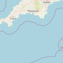
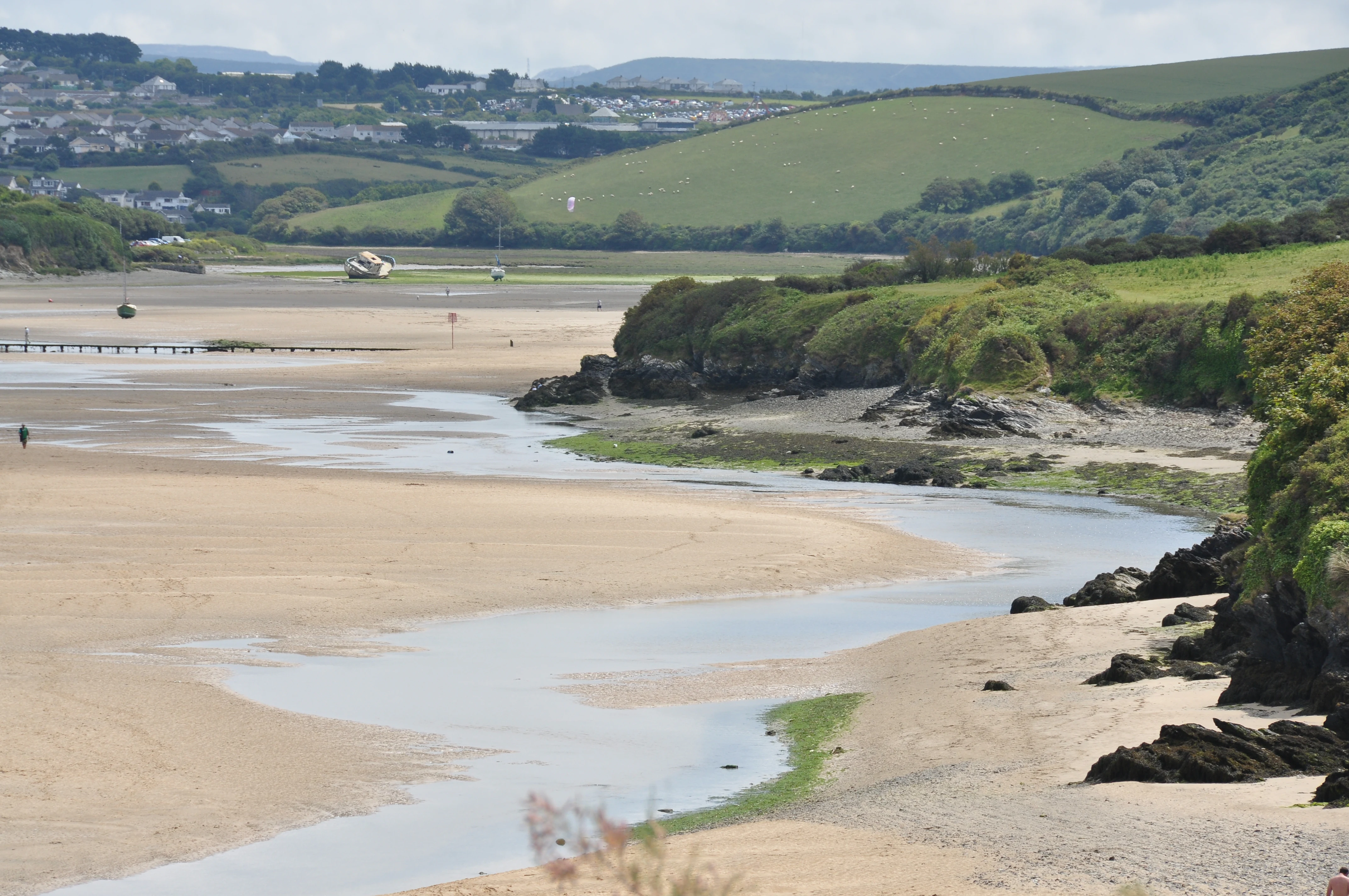
The Gannel's setting spans inland agricultural Cornwall and the ruggedly beautiful north Cornish coast. From its modest inland source near Carland Cross, the river descends through rolling country influenced by the Newlyn Downs before reaching the coast. In its lower reaches, it widens into a tidal channel flanked by sandy beaches, dunes, exposed rock platforms, and the steep cleft of Pipers Hole on the west side of the estuary.
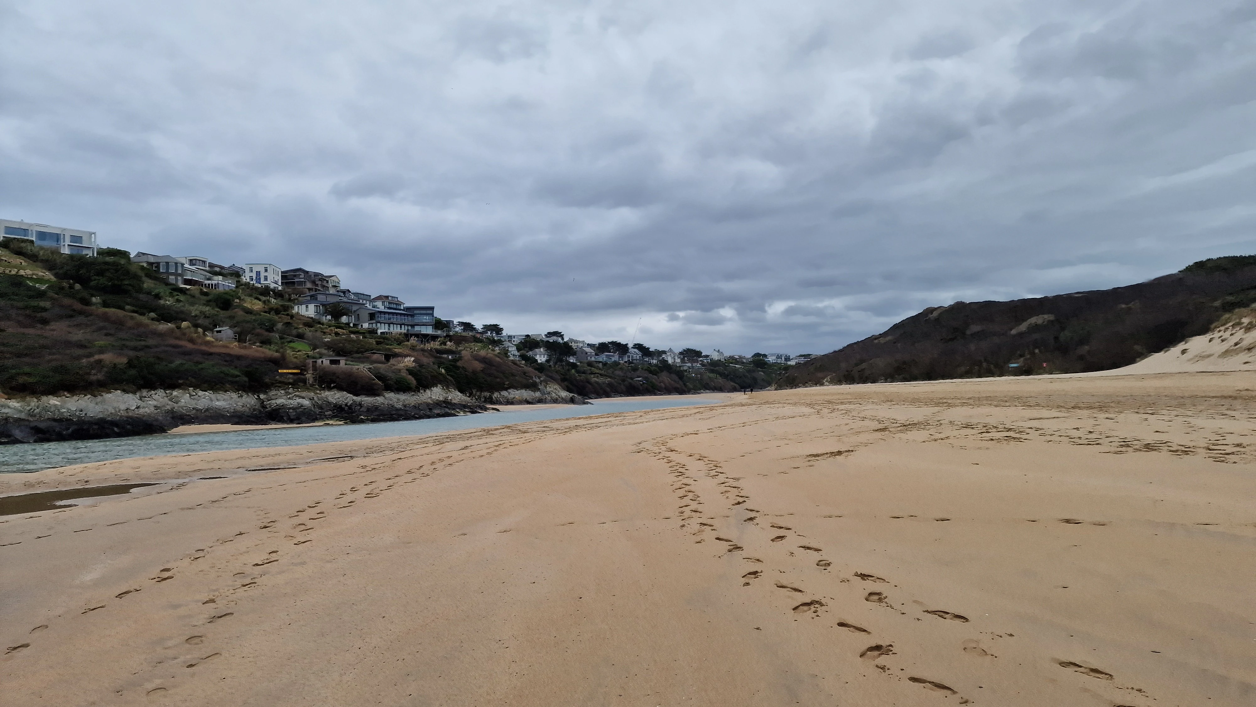
The estuary itself is a narrow, dynamic place where sand and water constantly rearrange the shoreline. Crantock beach on one side and the Fern Pit area on the Newquay side give the waterway an enclosed, almost fjord-like feel, while the Pentire headland and surrounding cliffs mark the wider coastal frame. The river's mouth opens directly onto the Celtic Sea, giving the lower Gannel a characteristic mix of dune-backed sand, saltmarsh patches, tidal flats, and exposed rock that shifts with each tide and storm.
River Gannel ecosystems, habitats, and plant life
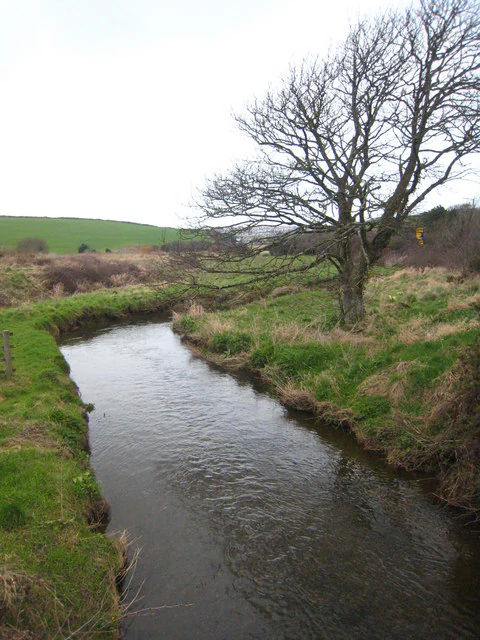
Ecologically, the Gannel is a layered system that shifts from freshwater river to brackish channel and finally to a marine-influenced estuary. The Newlyn Downs and surrounding farmland shape much of the freshwater catchment, creating a relatively sheltered inland stretch that supports species such as trout, lamprey, eel, and bullhead.
Downstream, the estuary's mix of sand, mud, rock, and tidal movement creates productive habitat for both resident and visiting wildlife. Below the low water mark, communities of anemones, sponges, sea mats, and sea squirts thrive, while intertidal flats offer feeding grounds for migratory birds and seabirds. Pipers Hole, a deep cleft on the west side of the beach, is an important nesting site for fulmars, jackdaws, and pigeons, weaving seabird cliff habitat directly into the estuarine environment. Weever fish are commonly encountered in the shallows, particularly at low tide, while the protected status of the estuary adds a layer of conservation significance to a naturally varied coastal ecosystem.
River Gannel wildlife and species highlights
The Gannel estuary is recognised primarily as a haven for migratory and coastal birds, with Pipers Hole serving as a notable nesting location for fulmars, jackdaws, and pigeons. The mix of dunes, cliff, and tidal flat provides a range of feeding and roosting conditions that make the estuary attractive to species moving along the Cornish coast.
Within the Marine Conservation Zone, the rare giant goby finds refuge among the estuary's varied underwater habitats, illustrating the area's importance for less conspicuous but ecologically valuable species. Lower down the food chain, communities of anemones, sponges, sea mats, and sea squirts create a rich subtidal substrate, while weever fish are common visitors to the shallow waters, especially at low tide. In the freshwater stretches above the tidal limit, trout, lamprey, eel, and bullhead have all been recorded, completing a wildlife profile that ranges from upland river species to coastal marine fauna.
River Gannel conservation status and protection priorities
The single most important conservation designation along the Gannel is the Newquay and the Gannel Marine Conservation Zone, formally designated in January 2016. This designation covers the estuary up to the tidal limit, recognising its role as habitat for migratory birds, rare fish such as the giant goby, and a varied subtidal community of anemones, sponges, sea mats, and sea squirts.
Beyond the formal zone, the Gannel's value also lies in how its varied habitats connect: freshwater river species upstream, estuarine transitions in the middle reaches, and marine species downstream. Together these create a continuum of protected and partially protected environments that help buffer coastal biodiversity against broader pressures on the Cornish coastline. The MCC's designation has reinforced the estuary's profile as one of the more ecologically distinctive river mouths in north Cornwall.
River Gannel cultural meaning and human context
The Gannel sits within a Cornish cultural landscape shaped by long human use of the coast and rivers. Archaeological evidence points to Mesolithic, Neolithic, Bronze Age, and Iron Age occupation around the estuary, with named finds such as the Wraxall neck ring giving tangible expression to that deep history. Medieval stone quarrying, Iron Age and later metalwork, and nineteenth-century shipbuilding at Tregunnel all reflect continuing human engagement with the river and its shores.
The Gannel Crake, a mysterious sound heard over the estuary, has been part of local folklore for centuries, traditionally explained as the cry of a troubled spirit haunting the scene. Nineteenth-century accounts described it as resembling a thousand voices combined in a long, fading wail, and the legend remains embedded in local memory. A traditional seasonal ferry still operates between the Fern Pit and Crantock beach, keeping older patterns of movement across the estuary alive, while artists such as William Prater captured the river in paintings like Crossing the Gannel.
Top sights and standout views in River Gannel
The Gannel combines a compact, distinctive tidal estuary with a long record of human use and a recently strengthened conservation profile. Its defining qualities include the channel between Newquay and Crantock, the Marine Conservation Zone, and the estuary's role as habitat for migratory birds and the rare giant goby.
Equally notable are the layered industrial and prehistoric histories visible along its banks, from Bronze Age roundhouse sites to nineteenth-century lime kilns and shipyards. The seasonal ferry, the legend of the Gannel Crake, and the dramatic dune-and-cliff setting at the river's mouth give the Gannel a character that is at once intimate, historic, and distinctly Cornish.
Best time to visit River Gannel
The character of the Gannel changes meaningfully with the seasons, making different periods appealing for different interests. Summer brings warmer weather, calmer sea conditions, and the operation of the seasonal ferry between the Fern Pit and Crantock beach, offering easier access to both sides of the estuary and good conditions for exploring the dunes and sandy shores.
Spring and autumn are often rewarding for wildlife interest, when migratory birds are more active along the estuary and the surrounding beaches are quieter. Winter can be dramatic, when storms reshape channels and dunes; this is when events such as the 2014 breach occurred, redirecting flow across Crantock beach. Tide times are always important to consider: low water exposes rich intertidal life and bird feeding areas, while higher tides narrow the channel and emphasise the estuary's enclosed, river-like character.