
Why Samaria National Park stands out
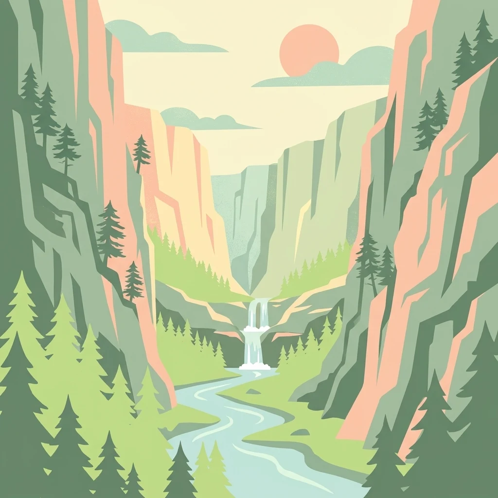
Samaria is most closely associated with the Samaria Gorge itself, a long river-cut canyon flanked by vertical walls that culminate in the narrow Iron Gates passage. The park is equally known for being one of the founding national parks of Greece and for safeguarding the Cretan wild goat, an endemic subspecies that survives here as in few other places. Together, these qualities have made the gorge one of Crete's signature natural landmarks.
Samaria National Park history and protected-area timeline
The name Samaria comes from the abandoned village of Samaria that once lay within the gorge, itself named after the small church of Osia Maria, or Saint Mary, in the area. Long before the national park existed, the gorge had a strategic role in Cretan history. Its remote, mountainous setting in the Sfakia region, traditionally associated with local resistance, made it a natural hideout during uprisings against Ottoman rule in the nineteenth century.
During the Second World War, the gorge gained modern political significance when, in 1941, King George II of Greece, Prime Minister Emmanouil Tsouderos, and accompanying members of the Greek government fled southward through Samaria to escape the advancing German forces during the Battle of Crete. Reaching the coast, they were evacuated by Royal Navy ships, turning the canyon into a brief but symbolic chapter in twentieth-century Greek history.
The protected-area history of Samaria began in 1962, when the gorge was formally designated as a natural reserve by royal decree, becoming one of Greece's first national parks. In 1965 the remaining residents of the small lumber-settlement of Samaria were relocated, leaving the gorge uninhabited and allowing its landscape to return fully to a wild state. By 1980 Greece had received recognition from the Council of Europe for its preservation of the site. In 1981 UNESCO included the broader area in its biosphere reserve network, and in 2014 the gorge was added to Greece's tentative list for World Heritage inscription, underscoring its continued international profile.
Samaria National Park landscape and geographic character
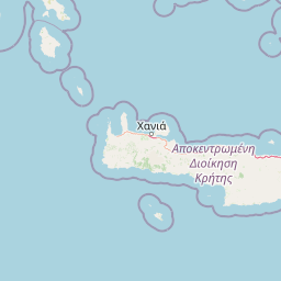
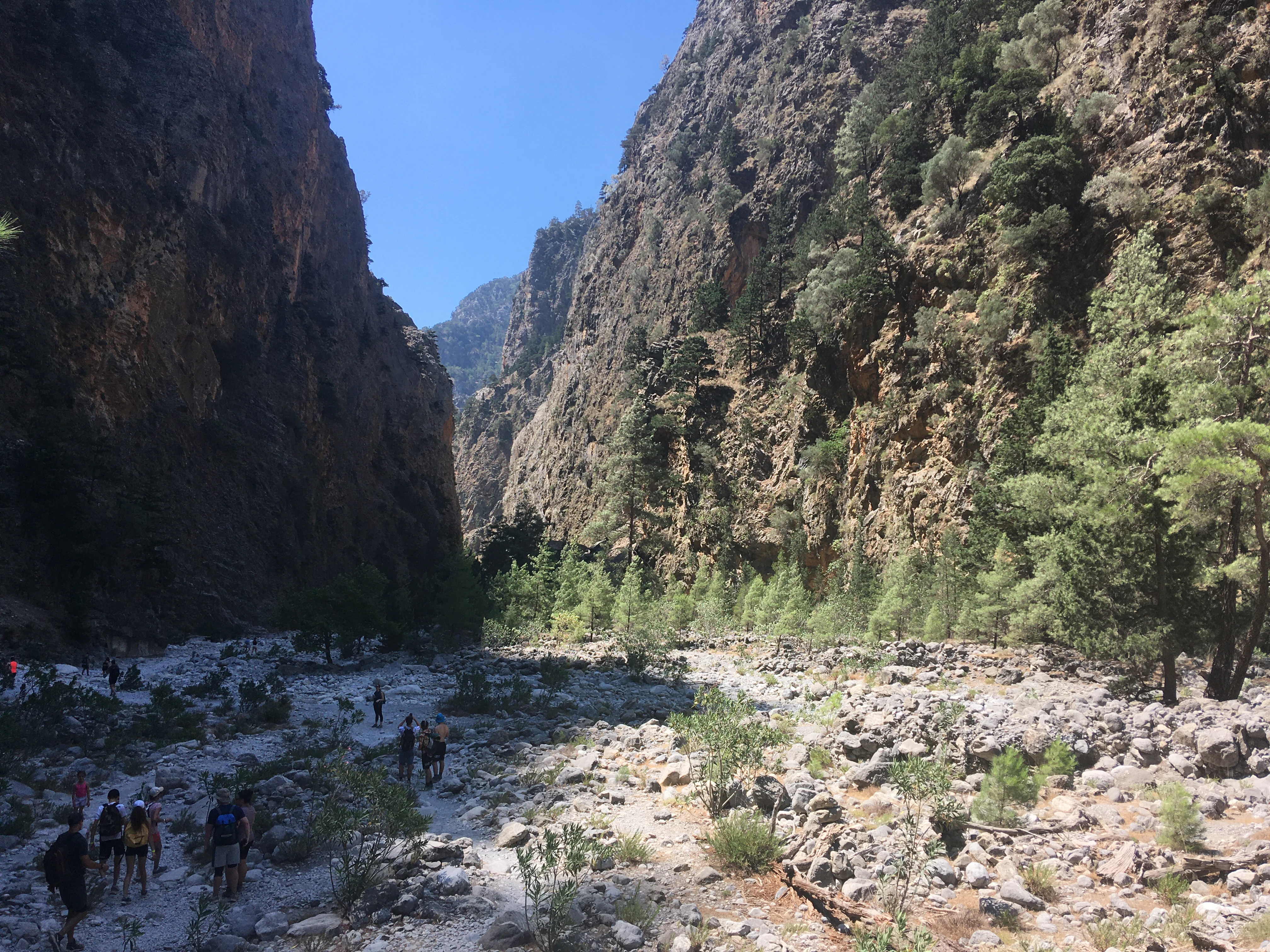
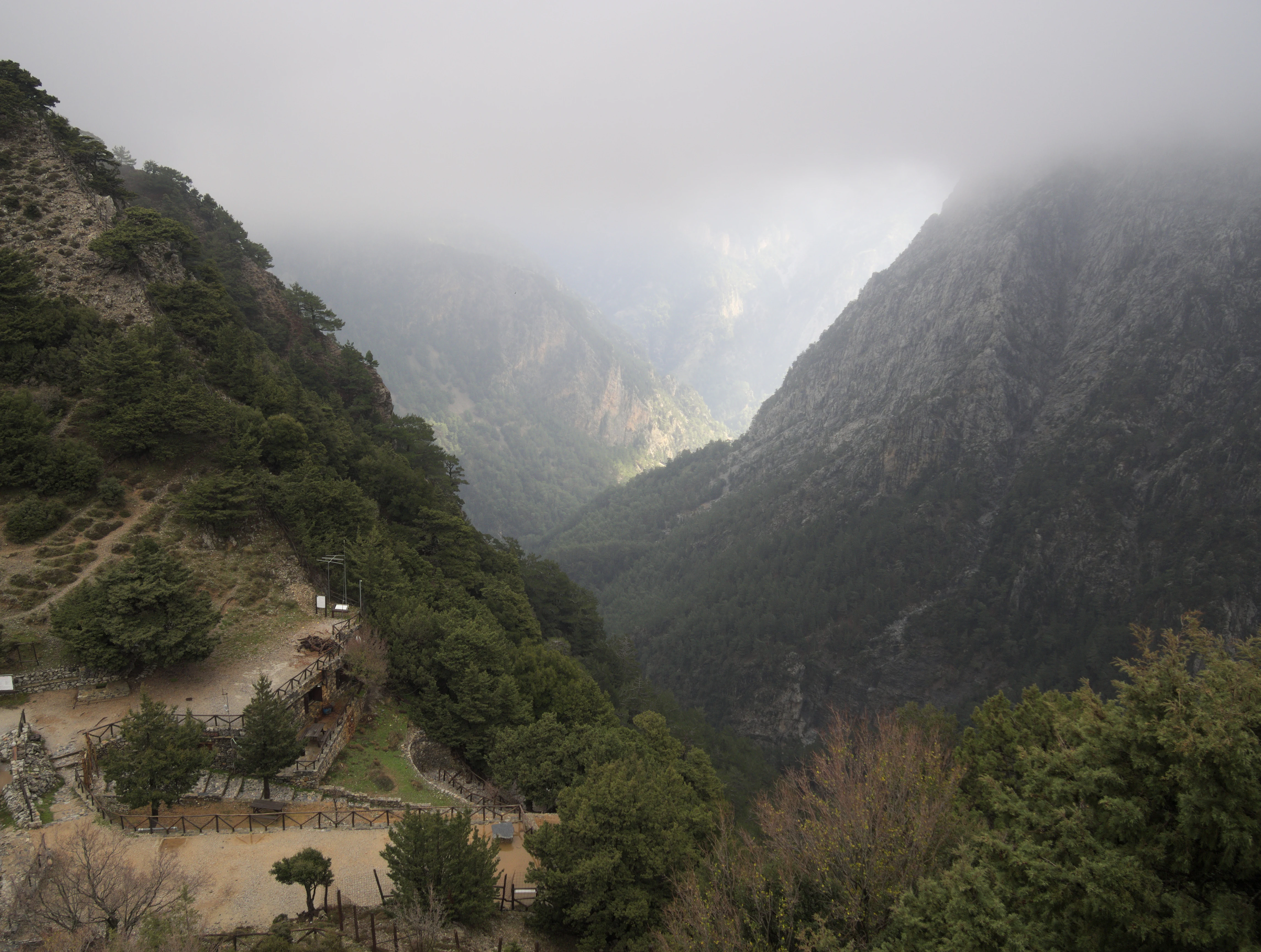
The physical centerpiece of Samaria National Park is a single, deeply carved river gorge that bisects the western part of the White Mountains. The canyon begins abruptly below the Omalos plateau, where the northern entrance, known historically as Xyloskalo, sits at roughly 1,227 meters elevation. From there the trail descends through a succession of narrow valleys and broader basins, finally emerging into a dry, nearly flat valley that leads to the small coastal settlement of Agia Roumeli on the Libyan Sea.
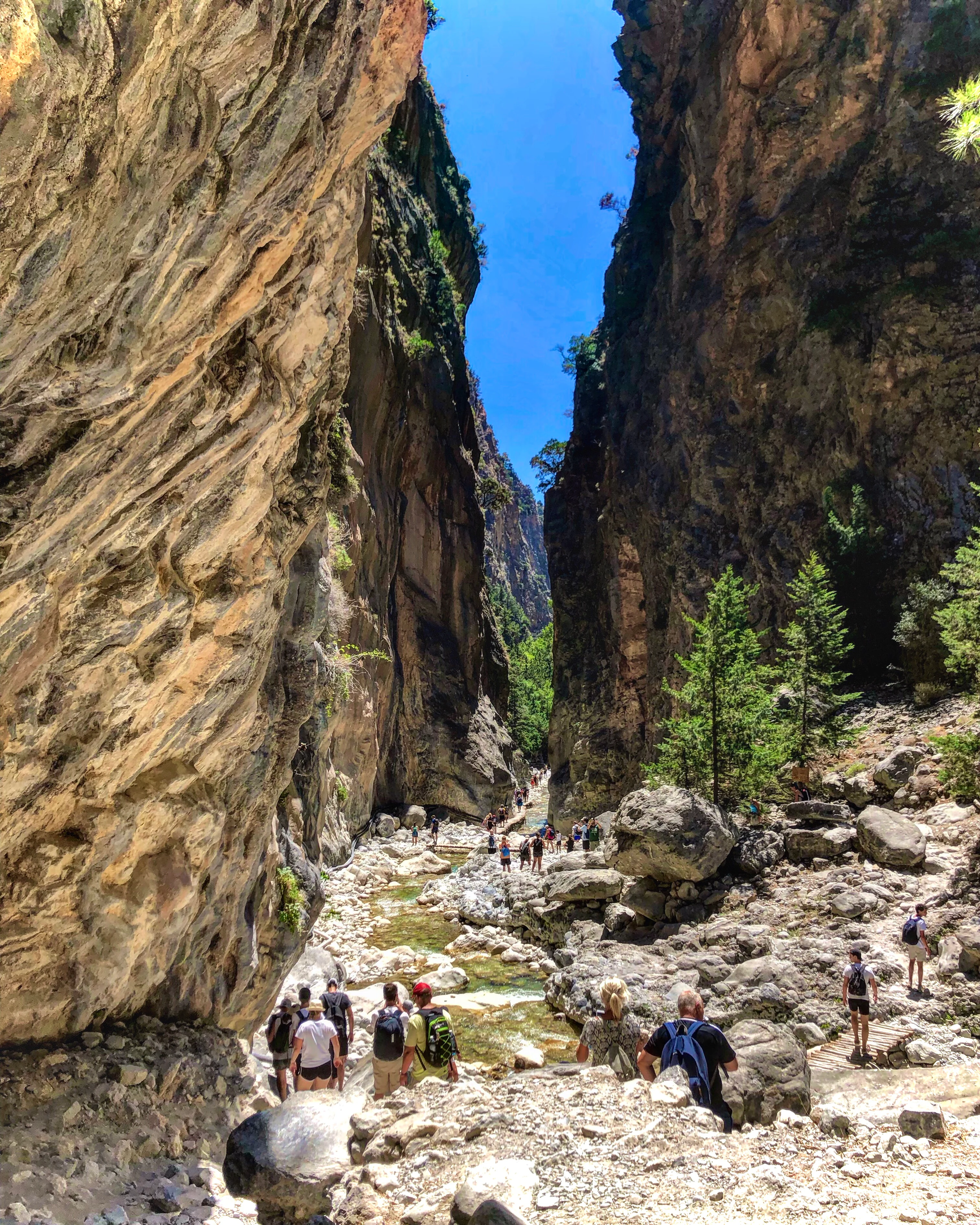
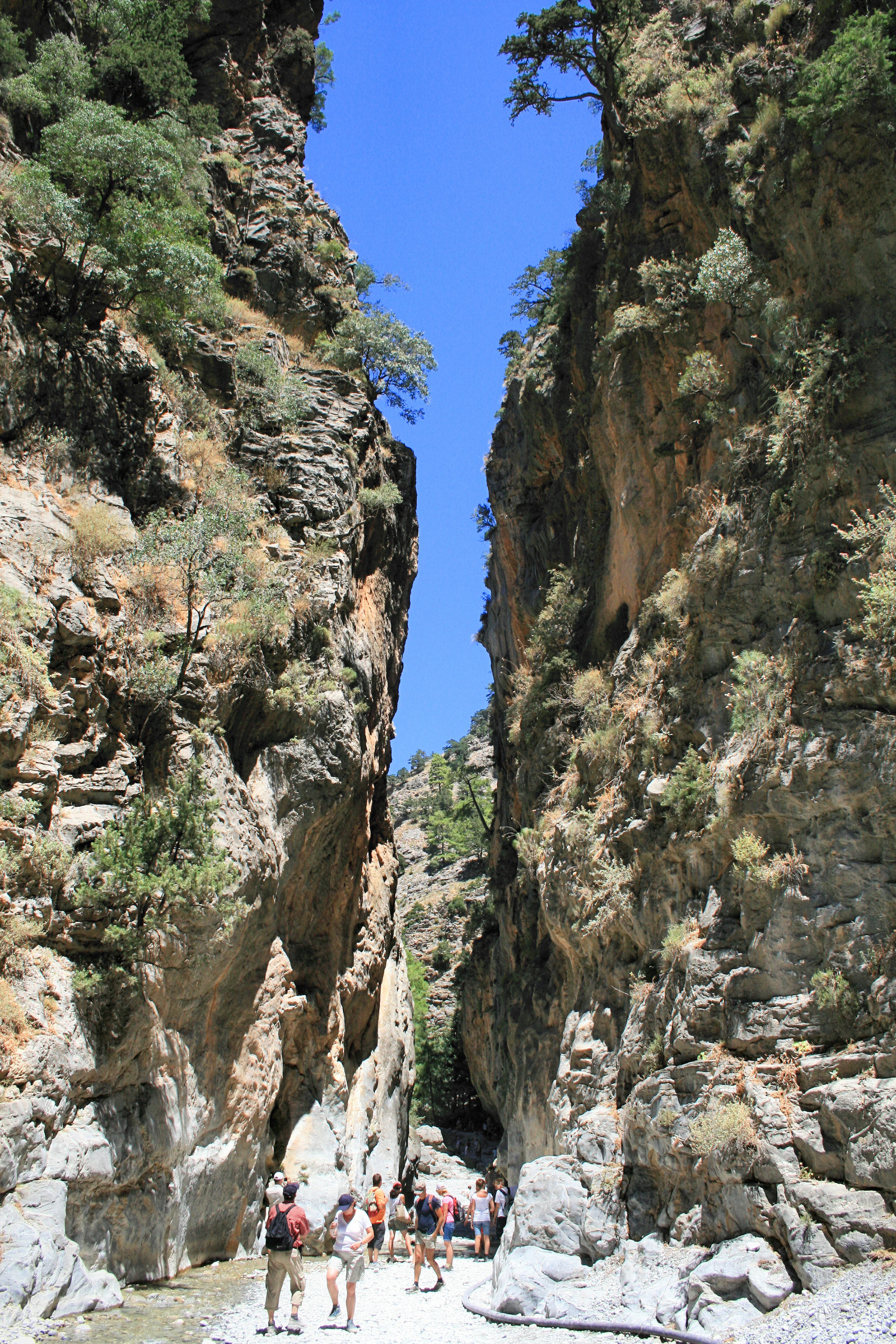
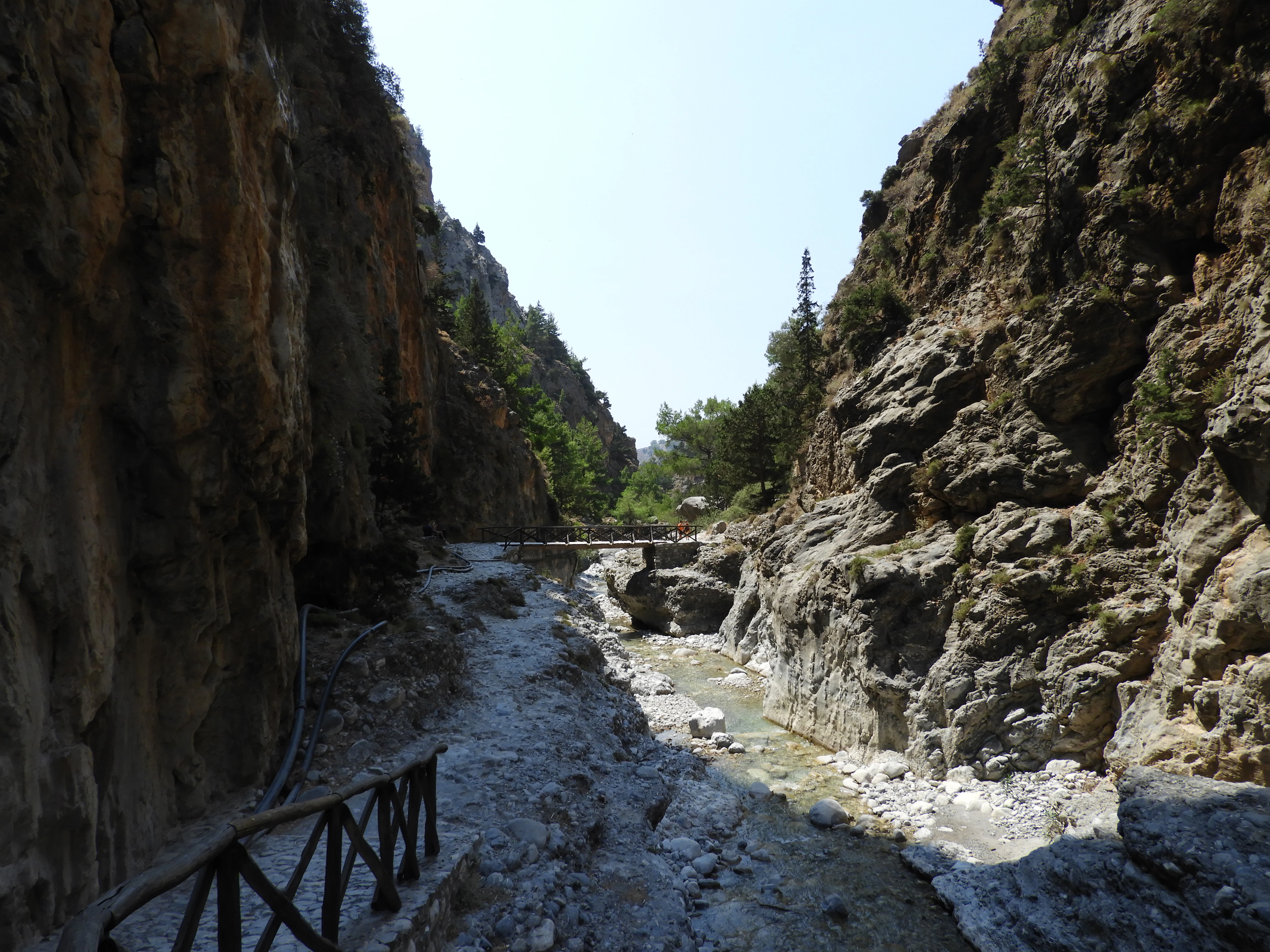
The walls of the gorge are its most striking feature. In many sections they rise as almost vertical cliffs several hundred meters above the streambed, with the most imposing faces exceeding six hundred meters. At the famous Portes, also called the Iron Gates or Sideroportes, the canyon contracts to a passage only about three meters across, framed by towering rock walls. Just above this bottleneck the cliff faces are at their highest; further along they again recede, giving the gorge a rhythm of compression and release along its length.
Geologically, the gorge is the product of long-term tectonic disturbance followed by persistent erosion. Active faulting displaced the original rock structure, and the combined action of rainfall and water from around twenty-two karstic springs has, over centuries, cut downward into the bedrock. The result is a canyon whose floor is more often shaped by water than by the visitor's path, with a small stream running along much of its length and frequently occupying the entire width of the narrowest sections. The surroundings rise into the broader mass of the White Mountains, with the peak of Volakias marking the western flank of the protected area.
Samaria National Park ecosystems, habitats, and plant life
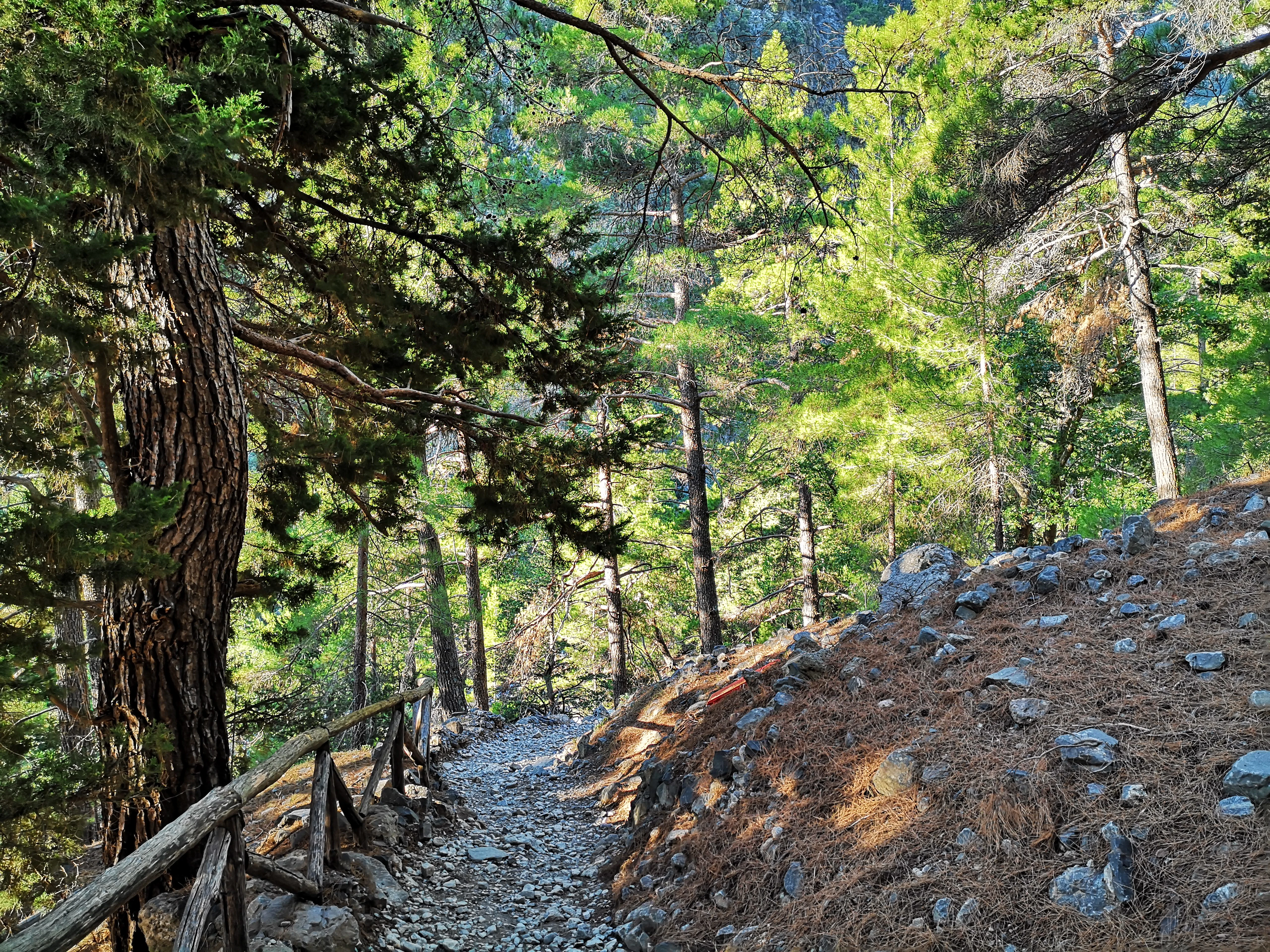
Ecologically, Samaria stands out for the strong influence of deep, narrow topography on its vegetation. The steep walls of the gorge create a mosaic of microclimates: sun-exposed rocky slopes support hardy Mediterranean shrubs and conifers such as stone pines and cypresses, while the cooler, moister conditions along the streambed favor plane trees and other deciduous species. Cretan maple and various oaks appear on the slopes, contributing to a layered woodland pattern unusual within Crete's generally dry landscapes.
The gorge's long-standing isolation, reinforced by the abandonment of the village of Samaria and its subsequent protection, has allowed a distinctive suite of endemic plants to persist. The park is reported to host at least fourteen plant species found only within its territory, a relatively high concentration for such a confined area. This endemism reflects both the geographic isolation of Crete and the role of the gorge itself as a refugium where mountain species can survive while lowland vegetation changes around them.
Beyond plants, the gorge functions as an important wildlife corridor connecting the high White Mountains with the southern coastal zone. The mosaic of woodland, cliff, scrub, and seasonal stream habitats supports a varied fauna that includes endemic birds and mammals adapted to rocky Mediterranean terrain. The overall ecological character of the park is that of a deeply sheltered mountain valley, ecologically richer and more humid than the typical Cretan landscape around it.
Samaria National Park wildlife and species highlights
Samaria's most iconic resident is the Cretan wild goat, known in Greek as the kri-kri or agrimi. This endemic subspecies survives today in only a handful of locations across Crete, and the Samaria Gorge is the central stronghold of the remaining population. The animals are famously sure-footed on the vertical cliffs, where they move along narrow ledges in search of food, and their presence has become closely identified with the identity of the park.
The gorge also hosts a range of other fauna adapted to Mediterranean mountain environments. Endemic and range-restricted bird species are reported from the park, taking advantage of the varied habitats from cliff faces to wooded streambed. Raptors, passerines, and other bird groups associated with Cretan mountains find refuge here, while smaller mammals and reptiles inhabit the rocky slopes and lower scrub.
The combination of restricted human presence, steep topography, and ecological isolation has allowed the park to function as a relatively undisturbed refugium, especially in contrast to more heavily developed parts of Crete. For visitors, wildlife observation is necessarily opportunistic, but the chance of glimpsing a kri-kri on the cliffs remains one of the defining experiences associated with walking the gorge.
Samaria National Park conservation status and protection priorities
Samaria was first declared a nature reserve by royal decree in 1962, making it among the earliest national parks in modern Greece. The protection framework established at that time, combined with the relocation of the gorge's last residents in 1965, created the conditions for the landscape to revert to an essentially wild state. By 1980 the Council of Europe recognized Greece's preservation of the site, signalling international validation of the park's conservation value.
In 1981 the broader area surrounding the national park core was inscribed in UNESCO's Man and the Biosphere network, linking the protected gorge to its wider mountain and coastal context. This biosphere reserve status positioned Samaria as a long-term reference site for balancing conservation, development, and scientific communication. In 2014 the gorge was further added to Greece's tentative list for UNESCO World Heritage inscription, reinforcing its standing as a site of both natural and cultural significance.
From a conservation perspective, the park's importance lies in protecting a confined but ecologically rich Mediterranean mountain landscape, including the principal surviving habitat of the Cretan wild goat and a notable concentration of endemic plants. The management approach, organized through a dedicated body for the Samaria Forest, blends habitat protection with regulated public use, treating the gorge as both a scientific reference area and a defined recreational corridor.
Samaria National Park cultural meaning and human context
The gorge carries a layered cultural identity that has shaped how it is understood even beyond its ecological value. During the long period of Ottoman rule over Crete, the remote canyon became a natural base for rebels and local communities resisting outside authority, embedding the landscape with a tradition of refuge and defiance that remains part of local historical memory. The village of Samaria itself, from which the gorge takes its name, was a small community of woodcutters before its residents were relocated in the 1960s.
The twentieth century added a more recent historical chapter. In 1941, during the Battle of Crete, King George II and the Greek government crossed the gorge while fleeing the German advance, an episode that turned Samaria into a transient stage of national political history. Today, the abandoned village, the memory of wartime evacuation, and the older tradition of Cretan resistance together give the gorge a cultural weight that complements its geological drama.
Top sights and standout views in Samaria National Park
Among the defining features of the national park, the narrow Iron Gates passage stands out as the most visually arresting section of the trail, where vertical cliffs drop to a floor only a few meters wide. The continuous descent from the Omalos plateau to the Libyan Sea at Agia Roumeli gives the park an unusually direct relationship between mountain and coast. The presence of the Cretan wild goat, an endemic subspecies that has become a symbol of Cretan wildlife, anchors the park's ecological identity. Together, these qualities converge with the site's long protection history and its biosphere reserve status to make Samaria one of the most recognizable protected landscapes in Greece.
Best time to visit Samaria National Park
The character of a visit to Samaria varies sharply with season, and most of the trail's activity is concentrated in the warmer months. Late spring and early autumn typically offer a balance of moderate temperatures, relatively stable conditions on the rocky slopes, and active wildlife presence. Summer brings the highest visitor numbers and the warmest, driest conditions in the gorge, but also brings the risk of rockfalls at the narrowest sections, especially during temperature swings between day and night.
Winter transforms the gorge into a much more demanding environment, with cooler temperatures, seasonal water flows, and a higher chance of closure of parts of the trail due to weather. Outside of summer, visitors should expect fewer people on the path, more variable conditions underfoot, and a landscape that feels quieter and more withdrawn. The timing that suits a given visit depends largely on whether the priority is hiking comfort, encountering the gorge at its busiest, or seeing it in a more reflective, less populated state.