
Mori Atlas logo
Biosphere reserveSitia Nature Park

Mapping the geological heritage, mountain ranges, and karst cave systems of this protected region.

Sitia Nature Park: A Comprehensive Geographic Atlas of Eastern Crete Protected Landscapes

Sitia Nature Park spans the rugged eastern extremity of Crete, serving as a landmark UNESCO Global Geopark. The terrain is defined by the high Sitia Mountains and a series of dramatic incised gorges, most notably the Zakros Canyon. Beyond these peaks and canyons, the landscape incorporates extensive limestone karst cave systems and a long, undeveloped coastline along the Libyan Sea, blending significant geological heritage with traditional rural land use.

geoparkUNESCO Global GeoparkMediterranean landscapemountain rangegorgekarst caves
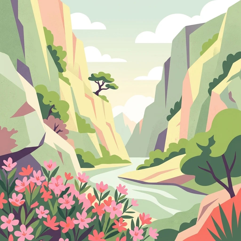
An illustration of a narrow mountain gorge with steep rock walls, a central winding river, sparse trees on the cliffs, and a foreground of blooming pink wildflowers.

Sitia Nature Park

Biosphere reserve

Park overview

Structured park overview, official facts, and landscape profile for Sitia Nature Park

Sitia Nature Park park facts, protected area profile, and essential visitor context

Review the core facts for Sitia Nature Park, including designation, size, terrain, visitor scale, habitats, and operating context in one park-focused overview.

About Sitia Nature Park

Sitia Nature Park occupies a wide swath of the easternmost part of Crete, one of the most geologically and scenically varied regions in the Greek islands. While its boundaries largely mirror those of the Municipality of Sitia, the park adds an explicit international conservation and geological framing. Through its membership in the UNESCO Global Geoparks Network, the area is promoted and managed as a site of outstanding geological value, while still preserving the everyday fabric of Cretan rural life.

Geologically, the park's defining features are the Sitia Mountains and their associated gorges, combined with the lower but ecologically important Coastal Hill Range, East Crete. Together they create a vertical gradient from coastal plains and beaches up to rugged peaks, with deeply cut river canyons like Zakros connecting the two. The exclusion of the Thripti Mountains in the southwest means the park concentrates its identity firmly on East Crete rather than covering the whole of the regional mountain backbone.

The park is also unusual in how its management is structured. Rather than being run by a single environmental agency, the geopark is overseen by DOKAS, a municipal cultural organization, with day-to-day stewardship entrusted to a committee of eleven bodies that range from the Natural History Museum of Crete and the Ephorate of Antiquities to the Sitia Hotel Association, the Forestry Directorate, the Holy Monastery of Toplou, and the local mountaineering club. This reflects the geopark model, which treats heritage protection as a collaborative, place-based effort rather than a narrowly environmental mandate.

Visitors experience the park through guided group hiking across the peaks and gorges and sponsored spelunking in the cave systems, both of which require reasonable fitness and are coordinated by the geopark's two visitor centers. The combination of geological exploration, hiking, monastic heritage, and coastal scenery gives Sitia Nature Park a distinctive profile that is unusual even within Greece's network of protected landscapes.

Quick facts and research context for Sitia Nature Park

Sitia Nature Park is a UNESCO Global Geopark inscribed in 2015 and managed through the Municipal Organization for Socio-Cultural Development of Sitia, known by its Greek acronym DOKAS. Its territory is nearly coterminous with the Municipality of Sitia in eastern Crete, omitting only the Cape Sideros naval base and a handful of offshore islets.

The park encompasses the Sitia Mountains and the Coastal Hill Range of East Crete, though parts of the Thripti massif to the southwest lie outside the boundary. Major attractions include the deep Zakros Canyon, karst cave systems, monastic sites such as Toplou, and a long, varied coastline fronting the Libyan Sea.

Protection and recognition

Explore the terrestrial boundary history and documented designation timeline.

Sitia Nature Park Protection Status and Designation History Overview

Sitia Nature Park maintains a documented terrestrial protection status established in the year 2015. Conservation records track the management scope and designation milestones without international recognition sources.

Protection details

Protection scope
Terrestrial
Designated year
2015
Transboundary protection
No
Park context

Deeper park guide and search-rich context for Sitia Nature Park

Sitia Nature Park history, landscape, wildlife, and travel context

Explore Sitia Nature Park through its history, landscape character, ecosystems, wildlife, conservation priorities, cultural context, and seasonal travel timing in a structured park guide built for atlas discovery and search intent.

Why Sitia Nature Park stands out

Sitia Nature Park is especially known for its deeply incised gorges, including Zakros Canyon, also called the Valley of the Dead, and for its wealth of karst caves. These geological features, together with the Sitia Mountains and the Coastal Hill Range of East Crete, form the backbone of the landscape and the reason for its UNESCO Global Geopark recognition. Equally characteristic is the integration of these natural features with cultural landmarks such as the Moni Toplou monastery, ancient sites around Zakros and Palaikastro, and largely untouched coastal stretches. This makes the park distinctive not only as a geological showcase but also as a geopark where human history and rural life continue alongside the protected landscape.
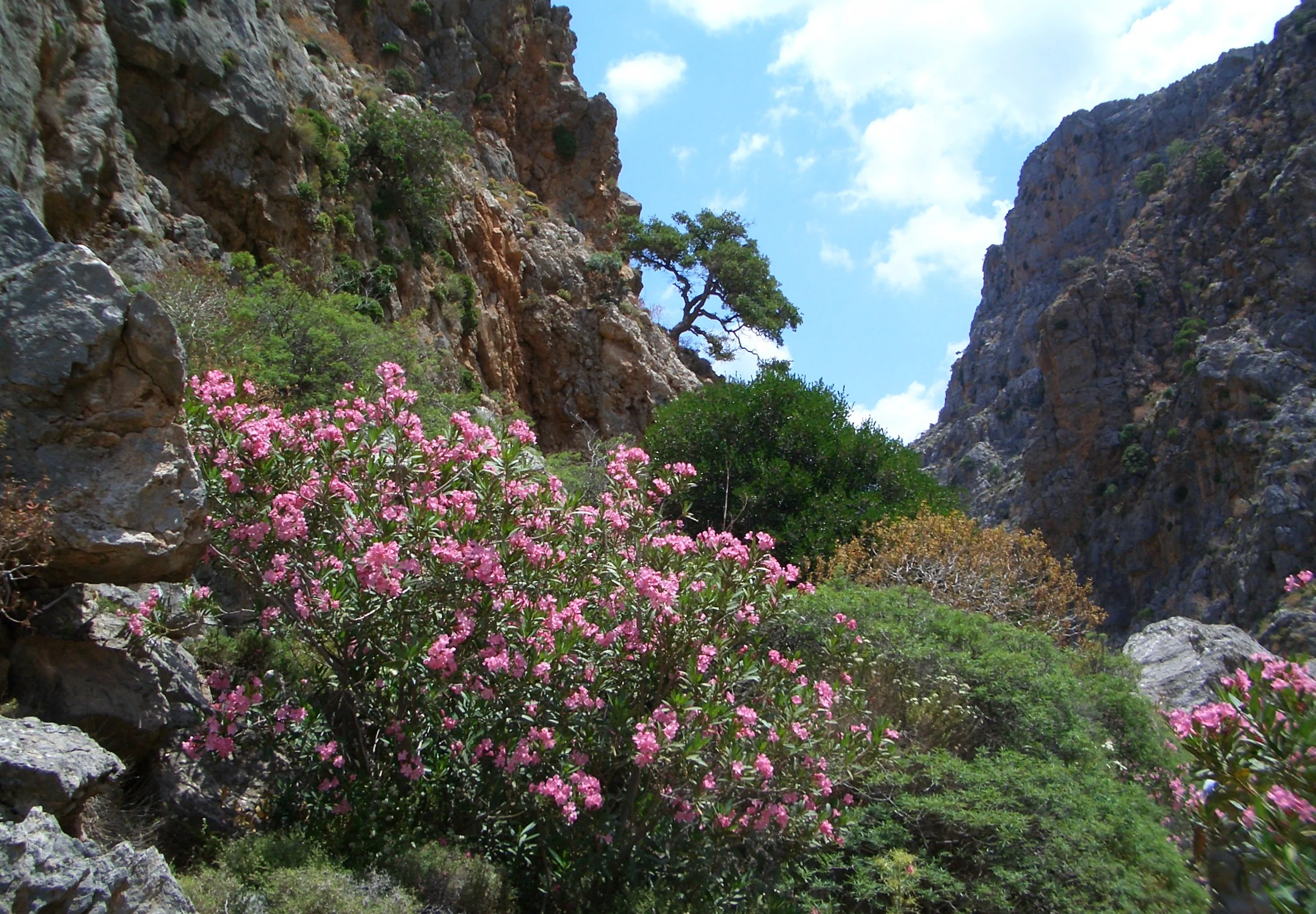
Pink oleander flowers bloom in the foreground against the backdrop of a narrow, steep rocky gorge.
Flowering oleander bushes nestled within the rocky gorge of the Valley of the Dead in Sitia Nature Park.

Sitia Nature Park history and protected-area timeline

Sitia Nature Park was formally created in 2015 and quickly entered the European Geoparks Network, the regional framework of the UNESCO Global Geoparks Network. Its establishment reflected a growing international recognition of the geological significance of eastern Crete, particularly its mountain ranges, gorges, and cave systems.

Management of the geopark was assigned to DOKAS, the Municipal Organization for Socio-Cultural Development of Sitia. DOKAS had itself been assembled in 2011 under Greece's Kallikratis administrative reform, which merged several smaller municipal agencies. Although originally focused on socio-cultural activities such as libraries and philharmonics, DOKAS took on the geopark as an additional responsibility, effectively serving as a board of directors for the park.

Running the geopark on a daily basis is an eleven-member committee, drawn from agencies including the Municipality of Sitia and its opposition, DOKAS itself, the Natural History Museum of Crete, the Ephorate of Antiquities, the Forestry Directorate, the Sitia Development Organization, the Sitia Hotel Association, the Environmental Education Center of Ierapetra, the Moni Toplou monastery, and the Sitia Mountaineering Association. This coalition of cultural, scientific, municipal, monastic, and tourism stakeholders has shaped the park's distinctive collaborative model of governance.

Sitia Nature Park landscape and geographic character

The landscape of Sitia Nature Park is dominated by the Sitia Mountains, a rugged range that rises toward the eastern end of Crete and forms the park's spine. These mountains are deeply dissected by gorges, with Zakros Canyon, sometimes called the Valley of the Dead, being one of the most prominent. The canyon carves a dramatic route from the interior highlands down toward the southeastern coast, creating steep cliffs, isolated rock formations, and one of the more unusual named landscapes in Crete.

Along the coast, the topography gives way to the Coastal Hill Range, East Crete, a chain of lower hills that follows the shoreline and supports a different mosaic of habitats than the higher interior. Together, the mountains and hills frame a long and varied coastline along the Libyan Sea, ranging from cliff-backed shores to small beaches and coastal plains suitable for agriculture. The southwestern portion of the wider regional mass, centered on the Thripti Mountains, lies outside the park, leaving the Sitia Mountains and the coastal hills as the primary landscape focus.

Caves are another defining element of the park's physical character. Extensive karst systems run through the limestone terrain, providing the setting for the region's notable spelunking activities and contributing to the area's UNESCO Geopark recognition. The combination of mountains, gorges, coastal hills, sea cliffs, and underground systems gives the park a layered, three-dimensional landscape that is compact enough to explore but structurally diverse.

Sitia Nature Park ecosystems, habitats, and plant life

Ecologically, Sitia Nature Park transitions sharply from interior mountain terrain to coastal environments. The Sitia Mountains support a mix of Mediterranean mountain vegetation typical of eastern Crete, including phrygana, maquis, and patches of woodland in sheltered valleys, while the gorges create microclimates where moisture-loving species can persist in an otherwise arid setting.

The Coastal Hill Range adds a distinct ecological layer, with low Mediterranean scrub, agricultural terraces, and slopes that link the mountain interior to the sea. The long coastline and offshore waters of the Libyan Sea complete the ecological spectrum, with terrestrial, marine, and interface habitats all present within park boundaries.

Although the Mediterranean climate limits dense forest cover, the park's combination of elevation, aspect, and karst geology produces notable habitat diversity. The exclusion of small islands and the Cape Sideros area from the geopark means the terrestrial focus is on the mainland, while the surrounding sea remains an important ecological context for the park as a whole.

Sitia Nature Park wildlife and species highlights

Wildlife in Sitia Nature Park reflects the broader patterns of eastern Cretan fauna, dominated by species adapted to Mediterranean mountain and coastal habitats. The park's gorges and cliffs are particularly important for raptors, providing nesting sites and shelter, while caves host bat colonies typical of Cretan karst systems.

The mosaic of maquis, phrygana, agricultural land, and semi-natural grassland supports a variety of reptiles and small mammals characteristic of the island, as well as passerine birds associated with scrub and coastal environments. Seasonal migratory birds likely use the coastal stretches as part of broader Mediterranean flyways, although specific counts are not strongly documented in the available sources.

The park's wildlife value lies less in headline species and more in the persistence of relatively undisturbed habitats across a large, contiguous area. By tying extensive natural terrain together under one management framework, the geopark helps anchor populations that depend on large, connected landscapes rather than isolated fragments.

Sitia Nature Park conservation status and protection priorities

As a UNESCO Global Geopark, Sitia Nature Park's conservation significance is rooted primarily in geological heritage. The park's gorges, karst caves, and the Sitia Mountains are recognized internationally as exemplars of eastern Mediterranean geology, providing reference sites for the study of tectonic processes, karst evolution, and landscape formation. This international designation adds a layer of protection and visibility beyond national or local recognition.

Conservation is approached through a collaborative governance model rather than a single environmental agency. The involvement of the Natural History Museum of Crete, the Forestry Directorate, and the Ephorate of Antiquities suggests that natural heritage, forests, and cultural sites are managed within a coordinated framework. Cultural institutions and tourism bodies sit alongside scientific agencies, reflecting the geopark philosophy that conservation of place is inseparable from the communities and traditions that inhabit it.

The exclusion of the naval base at Cape Sideros and the small surrounding islands from the park boundary is a notable feature of the conservation design. While this means these areas are not covered by geopark protections, it also concentrates the park's mandate around the mainland mountain and coastal territory where geological and ecological values are highest.

Sitia Nature Park cultural meaning and human context

Sitia Nature Park is closely woven into the cultural fabric of eastern Crete. The Moni Toplou monastery, one of the most important Orthodox monasteries on the island, sits within or near park territory, and is represented directly in the geopark's management committee. This inclusion reflects the deep historical relationship between monastic communities and the Cretan landscape.

The region around Zakros and Palaikastro is also archaeologically significant, with the Minoan site of Zakros among the major Bronze Age palaces of Crete. The Ephorate of Antiquities, which oversees such sites, is part of the geopark's governance, anchoring the park in the management of cultural heritage alongside natural features.

Rural life remains a defining element of the park's cultural context. The Sitia region is known for its olive groves, vineyards, and traditional villages, and the inclusion of bodies such as the Sitia Hotel Association and the local mountaineering club underscores the importance of everyday economic and recreational activity. Rather than presenting the park as a strictly protected wilderness, the geopark model treats these communities as integral to the landscape's long-term vitality.

Top sights and standout views in Sitia Nature Park

Among the standout features of Sitia Nature Park are Zakros Canyon and its associated Valley of the Dead, the long stretch of karst caves that host the park's signature spelunking experiences, and the contiguous mountain chain of the Sitia range. These geological assets underpin the park's UNESCO status and provide the setting for its main group activities.

Equally notable are the park's cultural anchors, especially Moni Toplou and the archaeological sites around Zakros, and its largely undeveloped coastline along the Libyan Sea. The collective presence of mountains, gorges, caves, monasteries, ancient sites, and traditional villages within a single protected framework gives the park an unusually rich and varied profile for visitors and researchers alike.

Best time to visit Sitia Nature Park

Spring and early autumn are widely considered the most comfortable seasons for visiting Sitia Nature Park. Temperatures are mild, the landscape is green or still warm from summer, and conditions for hiking the Sitia Mountains and gorges such as Zakros Canyon are at their best. These months also make cave explorations more manageable, as summer heat can make strenuous outdoor activity difficult.

Summer brings higher temperatures and very dry conditions, though the coastal stretches of the park remain attractive for sea-focused visits. Winter tends to be quieter and cooler, with some high-mountain paths more challenging. Because much of the park's appeal centers on physically demanding hiking and spelunking, visitors with limited time are likely to benefit most from the milder shoulder seasons, when the park's full range of experiences is accessible without the extremes of summer heat.
Monthly climate preview

Long-term representative point measurements tracking temperature ranges and precipitation flows by month

Sitia Nature Park Climate Normals and Measured Annual Weather Patterns

Sitia Nature Park records long-term monthly climate normals spanning average minimum and maximum temperatures alongside daily precipitation rates from 1991 to 2020. Examining the complete twelve-month meteorological profile reveals the full annual rhythm of temperature fluctuations and moisture distribution at this representative coordinate.
Annual mean20 °C
13 °C27 °C
Jan14°
Feb13°
Mar14°
Apr16°
May20°
Jun24°
Jul26°
Aug27°
Sep25°
Oct22°
Nov18°
Dec15°
Warmest month
August

26.6 °C

Coolest month
February

13.4 °C

Wettest month
December

2.9 mm/day

Driest month
July

0.1 mm/day

Park location guide

Geography guide, regional context, and park location map for Sitia Nature Park

Sitia Nature Park park geography, regions, and map view in Greece

Understand where Sitia Nature Park sits in Greece through a broader geographic reading of the surrounding landscape, nearby location context, and its mapped position within the national park landscape.

How Sitia Nature Park fits into Greece

Greece, officially the Hellenic Republic, is a country in Southeast Europe occupying the southern Balkans. It borders Albania, North Macedonia, Bulgaria, and Turkey, with coastlines on the Aegean, Ionian, and Mediterranean seas. The country has over 10 million people and is renowned for its ancient Greek heritage, philosophy, democracy, and the Olympic Games.

Wider geography shaping Sitia Nature Park in Greece

Greece occupies the southern tip of the Balkan peninsula in Southeast Europe. It shares land borders with Albania to the northwest, North Macedonia and Bulgaria to the north, and Turkey to the east. The Aegean Sea lies to the east of the mainland, the Ionian Sea to the west, and the Sea of Crete and Mediterranean Sea to the south. The country spans thousands of islands across nine traditional geographic regions and has the longest coastline in the Mediterranean basin.

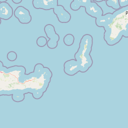
Map view of Sitia Nature Park

Use this park location map to pinpoint Sitia Nature Park in Greece, understand its exact geographic position, and read its mapped placement within the surrounding landscape more clearly.

Pigeon | © OpenStreetMap contributors

Location context for Sitia Nature Park

Crete

Explore photographic records of Sitia Nature Park, featuring rugged mountain ranges, deep gorges, and coastal scenery.

Sitia Nature Park Photos and Landscapes: Visualizing the Protected Terrain

Visual documentation provides essential context for interpreting the topography, habitats, and geological formations defining Sitia Nature Park. Photographic archives reveal the striking contrast between interior highlands, incised limestone canyons, and undeveloped shorelines.

Pink oleander flowers bloom in the foreground against the backdrop of a narrow, steep rocky gorge.

A rocky canyon gorge with steep limestone cliffs on both sides, featuring bright pink flowering bushes in the foreground and a solitary small tree growing from the cliff face.

Park atlas

Compare adjacent mountain landscapes, coastal hills, and regional nature reserves

Explore Protected Areas and Parks Near Sitia Nature Park in Eastern Crete

Browse other parks and protected areas near Sitia Nature Park to examine wider regional geography and connected Mediterranean landscapes. Comparing adjacent terrain helps trace geological patterns across eastern Crete and expands broader nature discovery.
National parkCrete
About 16 km away#1 closest

Northeast

Vai Aesthetic Forest National Park: Geographic and Protected Landscape Overview

Coastal palm woodland and regional Cretan geography

Investigate the landscape composition of Vai Aesthetic Forest, a protected national park in northeastern Crete. This site preserves a rare Mediterranean wetland ecosystem and a significant population of endemic date palms, offering deep insights into the region's geological and ecological heritage within the Sitia UNESCO Global Geopark framework.

Area
0.2 km²
Established
1985
Relief
Lowland
Climate
Mediterranean
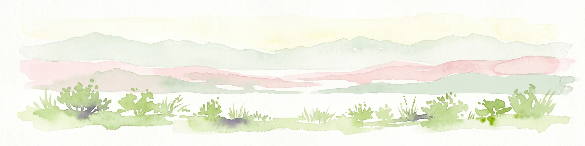
A horizontal watercolor illustration showing soft, stylized green and pink layers representing rolling hills and distant land over a light foreground of scrubby vegetation.
Protected areaLasithi
About 24 km away#2 closest

North

Dionysades Protected Area: An Atlas Guide to the Islands of Northeastern Crete

Geography and protected island landscapes in Lasithi

The Dionysades archipelago comprises four rocky islets isolated in the shallow waters of the northeastern Cretan shelf. This protected area functions as a key seabird stronghold in the Aegean, characterized by its dramatic maritime silhouette, deep-water surroundings, and significant cultural history reaching back to classical antiquity.

Area
5.25 km²
Relief
Upland
Climate
Mediterranean
Access
Remote access
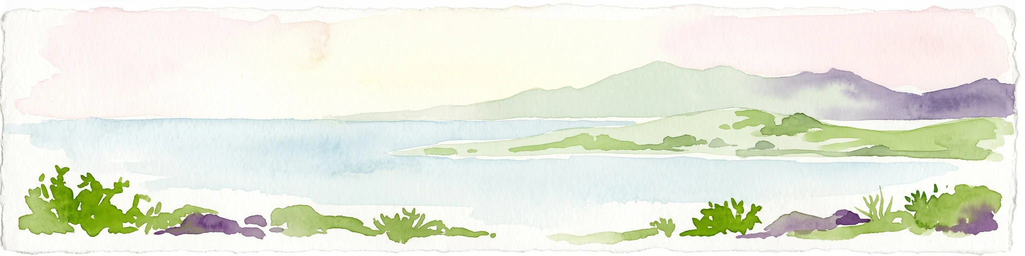
A horizontal watercolor painting depicting a pale blue coastal landscape with low green vegetation in the foreground and soft mountainous ridges in the distance.
Protected areaLasithi
About 51 km away#3 closest

Southwest

Chrysi Protected Area: Mapping the Juniper Forests and Beaches of Lasithi, Greece

A coastal island sanctuary in the Libyan Sea

Chrysi presents a distinct landscape characterized by a mature juniper forest and golden-sand beaches. Situated within the Lasithi regional unit, this island remains a primary example of a protected Mediterranean woodland environment, preserving a unique set of coastal terrain, shallow sea ecosystems, and archaeological history on a small geographic footprint.

Area
4.743 km²
Relief
Lowland
Climate
Mediterranean
Access
Easy access
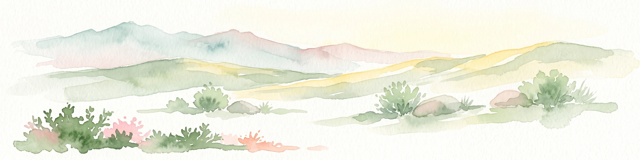
A horizontal watercolor painting showing soft, rolling mountains and sparse desert-like shrubbery in shades of light green, pale pink, and yellow.
Biosphere reserveCrete
About 120 km away#4 closest

West

Psiloritis Natural Park: Protected Karstic Mountains and Cultural Landscapes in Crete

Geological exploration and regional mountain geography

Psiloritis Natural Park encompasses the central massif of Crete, featuring the famous Mount Ida range. Its protected territory serves as an essential site for understanding karstic geology, from deep underground cave systems to high-altitude steppes. The region perfectly highlights the intersection between large-scale tectonic history and the long-standing human traditions that shape the mountainous interior of the island.

Area
1,159 km²
Established
2001
Relief
Mountain
Climate
Mediterranean
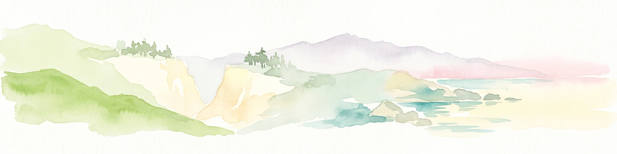
A watercolor painting showing a panoramic landscape with green hills, distant mountains, and water, set against a plain white background.
National parkGreece
About 202 km away#5 closest

West

Samaria National Park: Geological Landscape and Protected Area Atlas in Crete, Greece

Mapping the dramatic White Mountain canyon and coastal descent

Samaria National Park stands as a major protected landmark in Greece, defined by a tectonic gorge that bisects the White Mountains. This atlas entry covers the park boundary, the distinct vertical limestone cliffs of the Iron Gates, and the transition from mountain plateau to the Mediterranean coastline.

Area
4.848 km²
Established
1962
Relief
Mountain
Climate
Mediterranean
A soft watercolor illustration of green rolling hills and flat land against a pale, hazy background, representing a coastal island environment.
Nature reserveCrete
About 209 km away#6 closest

West

Agioi Theodoroi Nature Reserve: Protected Island Landscapes off the Coast of Crete

A vital wildlife sanctuary and historical island terrain

The nature reserve of Agioi Theodoroi comprises two small, rocky islands off the northwestern shore of Crete. Known for a long-established population of the rare kri-kri wild goat and breeding colonies of Eleonora's falcons, these islets maintain strict conservation status. Explore the mapped boundaries of this unique protected area and its significance within the coastal geography of the Chania region.

Area
0.697 km²
Established
1930
Relief
Upland
Climate
Mediterranean
Watercolor painting of a coastal landscape featuring green rolling hills, distant landmasses, and stylized shrubs and trees in the foreground against a white background.
Nature reserveCrete
About 241 km away#7 closest

West

Elafonisi Nature Reserve: Geography and Protected Landscape Analysis in Crete

Coastal dunes and limestone formations in southwestern Crete.

Elafonisi is a protected nature reserve situated in the southwestern reaches of Crete. This site encompasses a complex landscape of sand dunes, juniper-covered scrub, and rugged limestone terrain. By providing a clear look at the area, this atlas entry helps users understand the geographic setting, the ecological significance of the island, and the natural boundaries of this noteworthy Mediterranean conservation area.

Area
1.5 km²
Relief
Lowland
Climate
Mediterranean
Access
Easy access
National parkMuğla Province
About 259 km away#8 closest

Northeast

Marmaris National Park: Mediterranean Forest Protected Landscape and Ancient Heritage

Discover its geography, mapped boundaries, and unique flora.

Marmaris National Park in Muğla Province offers a deep dive into a protected Mediterranean forest ecosystem and Carian history. Explore its rugged terrain, dramatic coastlines where pine forests meet the sea, and discover ancient sites like the Amos amphitheatre. This park is a key area for understanding regional geography, mapped natural landscapes, and the unique botanical diversity of Turkey's southwestern coast, supporting detailed atlas exploration.

Area
333.5 km²
Established
1996
IUCN
II
Visitors
8.5M annual

Common questions about visiting, size, designation, and location context for Sitia Nature Park

Sitia Nature Park FAQs for park facts, access, geography, and protected area context

Find quick answers about Sitia Nature Park, including protected-area facts, park geography, trail and visitor context, and how the park fits into its surrounding country and regional landscape.
MoriAtlas Explorer

Continue Your Protected Areas Search Across the Global Atlas

Deepen your exploration by continuing the structured search for national parks and protected areas worldwide. Utilize the comprehensive filtering capabilities to compare different conservation landscapes and refine your understanding of global park geography. Discover more about the distribution and characteristics of protected natural areas.

Global natural geography