Mori Atlas logo
Protected areaSan Ignacio Lagoon

A remote tidal sanctuary defined by shallow nursery waters and arid coastal desert terrain.

San Ignacio Lagoon: Mapping the Protected Coastal Desert Landscapes of Baja California Sur

(Laguna San Ignacio)

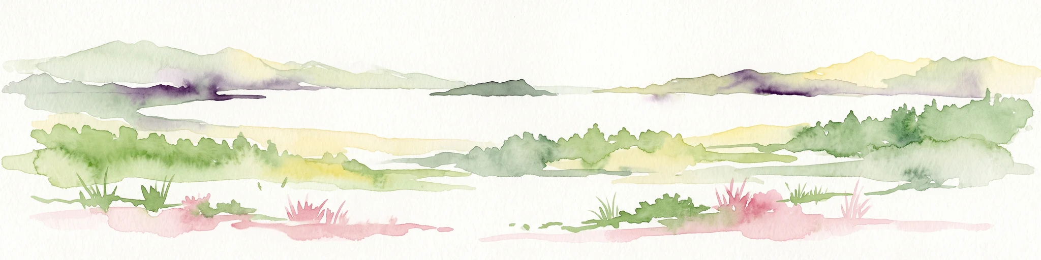
San Ignacio Lagoon stands as one of the most significant undeveloped coastal nurseries for gray whales along the Pacific. This protected area pushes deep into the desert environment of Baja California Sur, creating a unique contrast between quiet tidal channels and harsh arid plains. Through this atlas entry, observe the shifting sandbars, shallow basins, and the surrounding desert geography that define this critical refuge.

coastal lagoonpacific lagoongray whale nurserywhale watchingbaja california surdesert coast

San Ignacio Lagoon

Protected area

Park overview

Structured park overview, official facts, and landscape profile for San Ignacio Lagoon

San Ignacio Lagoon park facts, protected area profile, and essential visitor context

Review the core facts for San Ignacio Lagoon, including designation, size, terrain, visitor scale, habitats, and operating context in one park-focused overview.

About San Ignacio Lagoon

San Ignacio Lagoon is a protected coastal water body on the Pacific Ocean side of the Baja California Peninsula, located in the Mexican state of Baja California Sur. It lies within the Mulegé Municipality, roughly 59 kilometers from the small town of San Ignacio, and is reached via Mexico's Federal Highway 1, which runs the length of the peninsula. The lagoon cuts deep into an otherwise arid coastal desert, creating a striking contrast between dry land and shallow marine habitat. This juxtaposition of desert and ocean is central to the visual and ecological identity of the place.

The lagoon is the centerpiece of internationally recognized conservation efforts that began after the area's whaling history forced governments and scientists to act. It is part of the El Vizcaíno Biosphere Reserve, Latin America's largest wildlife sanctuary, established in 1988. It also lies within the broader El Vizcaíno Whale Sanctuary, which UNESCO designated as a World Heritage Site in 1993, and in 2004 the lagoon itself was added to the Ramsar list of wetlands of international importance.

As a working landscape, the lagoon supports a very small resident community of fewer than 100 people. Local livelihoods are built around traditional fishing and the carefully regulated practice of whale watching, which now plays a central role in the regional economy. Far from being only a wildlife area, San Ignacio Lagoon is also a place where conservation, traditional livelihoods, and a unique form of low-impact tourism intersect.

Quick facts and research context for San Ignacio Lagoon

San Ignacio Lagoon is a coastal lagoon on the Pacific coast of the Baja California Peninsula, in Mulegé Municipality, Baja California Sur, Mexico. It lies within the El Vizcaíno Biosphere Reserve, established in 1988, and forms part of the El Vizcaíno Whaling Sanctuary designated by UNESCO as a World Heritage Site in 1993. The lagoon was additionally recognized as a Ramsar Wetland of international importance in 2004.

The water body itself is a saltwater lagoon that extends roughly sixteen miles into the surrounding desert, reaching a maximum width of about five miles. The local human population is very small, well under one hundred people, and is closely associated with traditional fishing and the modern whale-watching economy. The lagoon is recognized as one of the few remaining undeveloped breeding and calving grounds for the eastern Pacific gray whale.

Protection and recognition

Explore documented protected area designation history and official international listings.

San Ignacio Lagoon Protection Status and International Recognition Records

San Ignacio Lagoon maintains a mixed protection scope backed by official listings including the Whale Sanctuary of El Vizcaino and the Laguna San Ignacio Ramsar site. Documented recognition records highlight the historical designation timeline and international status established in 2004.

International recognition

Protection details

Protection scope
Mixed
Designated year
2004
Transboundary protection
No
Park context

Deeper park guide and search-rich context for San Ignacio Lagoon

San Ignacio Lagoon history, landscape, wildlife, and travel context

Explore San Ignacio Lagoon through its history, landscape character, ecosystems, wildlife, conservation priorities, cultural context, and seasonal travel timing in a structured park guide built for atlas discovery and search intent.

Why San Ignacio Lagoon stands out

San Ignacio Lagoon is best known as one of the last great winter nurseries for the eastern Pacific gray whale. Pregnant females travel thousands of kilometers from northern feeding waters to calve in the warm, sheltered waters of the lagoon, and mothers and calves remain there for weeks before beginning the journey north again. Its shallow upper section is widely regarded as one of the most important birthing areas for the species and is one of only a handful of truly undeveloped gray whale breeding grounds left on Earth. The lagoon is also celebrated for the unusual closeness with which gray whales approach boats and visitors, an experience that has shaped the region's identity and its regulated whale-watching economy.

San Ignacio Lagoon history and protected-area timeline

San Ignacio Lagoon's modern significance is closely tied to a turbulent nineteenth-century history. The area was rediscovered by the American whaling captain Jared Poole, who was the brother-in-law of Charles Melville Scammon, one of the most influential figures in Pacific whaling history. Scammon himself visited the lagoon in 1860 at the head of a six-vessel whaling expedition. Although some skippers were reluctant to risk their ships on the lagoon's treacherous sandbars and shallow channels, those who did enter nearly drove the Pacific gray whale to extinction through sustained hunting.

The lagoon's role shifted dramatically in the twentieth century as the gray whale population recovered and commercial whaling became internationally restricted. Mexico formally established the El Vizcaíno Biosphere Reserve in 1988, providing broad legal protection to the lagoon and the surrounding desert landscape. Five years later, in 1993, the United Nations recognized the El Vizcaíno Whale Sanctuary as a World Heritage Site, elevating San Ignacio Lagoon's status globally. In 2004, the lagoon itself was inscribed as a Ramsar Wetland, reinforcing its identity as a place of international ecological importance.

Where whaling ships once risked the sandbars in pursuit of gray whales, the lagoon is now a destination for migrating whales each winter and a focal point for conservation-centered whale watching. Its evolution from a hunting ground to a protected nursery is one of the defining elements of the area's identity.

San Ignacio Lagoon landscape and geographic character

San Ignacio Lagoon is a coastal lagoon that pushes inland from the Pacific Ocean into one of the driest parts of the Baja California Peninsula. Surrounded by desert on nearly all sides, the lagoon forms a long, narrow inlet that runs roughly sixteen miles into the land, with a maximum width of around five miles. Visual contrasts are striking: barren desert terrain meets quiet tidal water, with shifting sandbars separating shallow upper reaches from the broader lower basin.

The lagoon is divided into three main sections that affect both scenery and wildlife activity. The upper lagoon is the shallowest and most sheltered section, with sandbars and quiet waters. The middle lagoon functions as a transitional corridor, while the lower lagoon is wider and more open to the ocean, providing the principal gathering space for whales and the setting for much of the area's social wildlife behavior.

Sandy shallows, tidal flats, and channel edges define much of the lagoon's shoreline. Because the surrounding land is sparsely inhabited and largely undeveloped, the landscape retains a sense of remoteness and exposure to weather, light, and tide. This combination of desert and sea is central to what makes San Ignacio Lagoon visually memorable and ecologically distinctive.

San Ignacio Lagoon ecosystems, habitats, and plant life

The ecological character of San Ignacio Lagoon is shaped by the meeting of desert, lagoon, and ocean. The sheltered tropical-to-subtropical saltwater lagoon sits within an otherwise arid peninsula, creating a transitional zone between terrestrial and marine ecosystems. Its shallow waters and tidal flats support marine vegetation, coastal invertebrates, and small fish populations that in turn sustain a much wider food web.

Surrounding the lagoon, the low desert landscape of the Vizcaíno Region continues uninterrupted, providing a very different ecological setting from the water itself. The lagoon's ecological value lies precisely in this combination: a relatively protected coastal wetland tucked inside one of the driest and most biologically distinctive deserts in North America. The lagoon was recognized as a Ramsar Wetland in 2004 precisely because of the international importance of its wetland habitat.

Thanks to its layered protection under Mexican and international frameworks, San Ignacio Lagoon has remained one of the least-developed gray whale breeding areas on Earth. Its ecological role extends beyond whales to coastal birds, desert fauna such as the endangered pronghorn, and several species of marine turtles that depend on the lagoon's broader protected waters and beaches.

San Ignacio Lagoon wildlife and species highlights

San Ignacio Lagoon is best known for gray whales. The waters of the lagoon are home to the eastern Pacific gray whale, also known scientifically as Eschrichtius robustus, which migrates thousands of kilometers between Arctic summer feeding grounds and the lagoon's warm winter waters. Pregnant females in particular travel here to give birth, and mothers and calves spend extended periods in the lagoon bonding and learning before the long migration back north.

The lagoon's three sections support different stages of this process. The shallow upper lagoon acts as a birthing area, the middle lagoon serves as a corridor for mothers and calves, and the wider lower lagoon becomes a gathering area where most of the whales congregate and where courtship and other social interactions occur. This division of the lagoon mirrors the seasonal rhythm of whale behavior in a way that few other sites can match.

Beyond gray whales, the broader protected landscape supports other significant species. The area around the lagoon is an important habitat for the berrendo, also known as the pronghorn antelope, which is endangered in Mexico. The lagoon and its coastline also support four of the world's seven species of sea turtles: leatherback, hawksbill, green, and olive ridley turtles, all of which are considered endangered. Migratory and coastal birds use the lagoon and surrounding wetlands as a seasonal refuge as well.

San Ignacio Lagoon conservation status and protection priorities

San Ignacio Lagoon's conservation story is layered and longstanding. The lagoon became part of the El Vizcaíno Biosphere Reserve in 1988, when Mexico established what is now Latin America's largest protected wildlife area. This designation brought the lagoon and the surrounding desert landscape under a coordinated framework for habitat protection, scientific study, and limited human use.

Five years later, in 1993, the United Nations recognized the El Vizcaíno Whale Sanctuary, which includes San Ignacio Lagoon, as a World Heritage Site, emphasizing the lagoon's importance to humanity as a whole rather than only to Mexico. In 2004, the lagoon itself was added to the international Ramsar list of wetlands of significant ecological value, identifying it as a saltwater wetland whose conservation is globally important.

The lagoon sits inside one of only a small number of gray whale breeding and calving grounds that remain undeveloped by industrial human activity. This rarity is a major reason for the strength of its conservation status. Beyond whales, the lagoon's protected waters and surrounding desert support threatened pronghorn antelope and multiple endangered sea turtle species, broadening the conservation case beyond a single iconic animal.

San Ignacio Lagoon cultural meaning and human context

The human history of San Ignacio Lagoon has been shaped by small-scale settlement, traditional fishing, and, in more recent decades, whale watching. The local community is tiny, with fewer than 100 residents, and is closely tied to the rhythms of the surrounding water and desert. For generations, fishing has been a primary way of life, and the lagoon continues to support artisanal fisheries alongside newer forms of nature-based tourism.

The transition from whaling to whale watching is itself an important cultural shift in the region. Where nineteenth-century whaling ships once entered the lagoon at considerable risk to their crews and ships, today's visitors arrive under regulated conditions to see the same waters used as a nursery. The community's adaptation to this conservation economy has become part of the lagoon's identity.

The broader Baja California Sur region also carries deep cultural memory of Jesuit mission history in nearby San Ignacio, where the historic Mission San Ignacio de Loyola stands. While the lagoon itself is a natural area rather than a mission site, it sits within a regional landscape where natural heritage and the human history of the peninsula are closely linked.

Top sights and standout views in San Ignacio Lagoon

A handful of qualities make San Ignacio Lagoon stand out among the world's coastal protected areas. It is one of very few large coastal lagoons in the world that remains essentially undeveloped within a desert setting, surrounded by arid land rather than towns or industry. Its protection stack, including Biosphere Reserve, World Heritage, and Ramsar recognition, places it in an unusually strong position for long-term security.

Its role as a gray whale nursery is unusually well documented and remarkably close to human observation, a feature that has shaped both scientific study and the local economy. Its broader biodiversity value, including endemic pronghorn and endangered sea turtles, makes it more than a single-species site.

Best time to visit San Ignacio Lagoon

San Ignacio Lagoon has distinct seasonal character that visitors should understand. The defining months are the gray whale winter season, when pregnant females and new mothers arrive in the lagoon to give birth, bond with calves, and engage in social and mating behavior before the long migration north. Outside this window, the lagoon becomes a quieter coastal and desert space, with warmer conditions but very little of the wildlife spectacle that defines the area's identity.

Because the lagoon's value is so closely tied to the whales' annual cycle, the visit experience is shaped more by the seasons than by conventional tourist infrastructure. Anyone interested in the lagoon should understand that the wildlife character of a visit is most intense during the cooler winter months of the gray whale migration and more subdued during the hotter months when most of the migrating whales have returned to feeding grounds far to the north.
Monthly climate preview

Long term average temperature and precipitation rhythm for Baja California Sur

San Ignacio Lagoon Climate Normals and Monthly Weather Patterns

Representative coordinate measurements reveal annual shifts in mean temperature and monthly precipitation across San Ignacio Lagoon. Detailed twelve month climate statistics provide a complete record of long term weather patterns.
Annual mean22 °C
16 °C30 °C
Jan16°
Feb17°
Mar19°
Apr20°
May22°
Jun26°
Jul29°
Aug30°
Sep29°
Oct24°
Nov20°
Dec16°
Warmest month
August

30 °C

Coolest month
December

16.4 °C

Wettest month
September

1 mm/day

Driest month
May

0 mm/day

Park location guide

Geography guide, regional context, and park location map for San Ignacio Lagoon

San Ignacio Lagoon park geography, regions, and map view in Mexico

Understand where San Ignacio Lagoon sits in Mexico through a broader geographic reading of the surrounding landscape, nearby location context, and its mapped position within the national park landscape.

How San Ignacio Lagoon fits into Mexico

Mexico, officially the United Mexican States, is a country in North America spanning the Sierra Madre mountain ranges, coastal plains, and tropical regions. It borders the United States to the north, Guatemala and Belize to the southeast, and has coastlines along the Pacific Ocean, Gulf of Mexico, and Caribbean Sea. With a population exceeding 130 million, Mexico is home to one of the world's most significant concentrations of Indigenous languages alongside Spanish.

Wider geography shaping San Ignacio Lagoon in Mexico

Mexico occupies a land area of 1,972,550 km2, making it the thirteenth-largest country in the world. The terrain is highly diverse, featuring the Sierra Madre Occidental and Sierra Madre Oriental mountain ranges, the Mexican Plateau, coastal lowlands along the Pacific and Gulf/Caribbean margins, and the Yucatan Peninsula. The country spans multiple climate zones from desert in the north to tropical rainforest in the south.

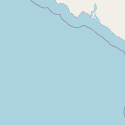
Map view of San Ignacio Lagoon

Use this park location map to pinpoint San Ignacio Lagoon in Mexico, understand its exact geographic position, and read its mapped placement within the surrounding landscape more clearly.

Pigeon | © OpenStreetMap contributors

Location context for San Ignacio Lagoon

Baja California Sur
Park atlas

Compare adjacent desert coasts and connected regional wildlife refuges

Parks Near San Ignacio Lagoon and Surrounding Protected Areas

Browse nearby national parks and protected landscapes sharing the distinct desert coast geography of Baja California Sur. Comparing adjacent wildlife habitats expands regional context and reveals the broader environmental patterns defining the peninsula.
Marine protected areaMexico
About 171 km away#1 closest

Northeast

Gulf of California: Marine Protected Area and Volcanic Geography of the Pacific Basin

Mapping protected islands and deep-sea terrain in Mexico

The Gulf of California represents a critical marine protected area defined by its tectonic youth and biological complexity. From the northern delta zones to the tropical southern waters, this basin offers a rare look at how submarine rifting and arid coastal geography influence marine habitat development. Explore its distribution of volcanic islands, deep canyons, and tidal environments through our detailed geographic records.

Area
177,000 km²
Established
2005
Relief
Mixed relief
Climate
Subtropical
Nature reserveSonora
About 187 km away#2 closest

Northeast

Isla San Pedro Mártir Nature Reserve: Mapping the Geography of the Gulf of California

Isolated rocky terrain and productive marine sanctuary

Isla San Pedro Mártir serves as a distinct protected area marked by its extreme isolation and dramatic vertical cliffs. The reserve acts as a core seabird nesting site supported by nutrient-rich cold-water upwellings in the Gulf of California, providing a vital example of arid island and marine geography.

Area
2.729 km²
Scope
Mixed
National parkBaja California
About 209 km away#3 closest

North

San Lorenzo Marine Archipelago National Park: Protected Area and Mapped Landscape Geography

Explore its national park status and regional context in Baja California.

Delve into San Lorenzo Marine Archipelago National Park, a key protected area contributing to Baja California's diverse geography. As a national park, its mapped boundaries and unique landscape characteristics provide essential data for atlas exploration and understanding regional conservation efforts. This entry focuses on the park's identity as a mapped protected entity, ideal for researchers and explorers seeking structured geographic insights into natural reserves.

Area
504.42 km²
Established
2005
IUCN
II
Relief
Upland
A watercolor painting showing a coastal landscape with pale pink foreground, green vegetation, a light-colored bay, and soft-hued mountains in the background.
Biosphere reserveBaja California
About 230 km away#4 closest

North

Bahía de los Ángeles Biosphere Reserve: Geography and Protected Area Atlas

Coastal desert, volcanic islands, and Sea of Cortez marine channels

Spanning 1,500 square miles, this biosphere reserve preserves the dramatic transition from the arid Baja California desert to the deep, productive waters of the Gulf of California. The protected area encompasses a diverse chain of volcanic islands, including Isla Ángel de la Guarda, and supports high biological productivity driven by deep submarine canyons and marine currents.

Area
3,879.56 km²
Established
2007
Relief
Mixed relief
Climate
Arid
National parkBaja California Sur
About 239 km away#5 closest

Southeast

Bahía de Loreto National Park: National Park Protected Landscape and Geographic Identity

Explore its mapped boundaries and regional context.

Bahía de Loreto National Park offers a distinct focus on its protected natural landscape and geographic features within Baja California Sur. This destination provides detailed mapping and regional context, enabling a focused exploration of its boundaries and natural environment. It is ideal for users seeking to understand the specific protected area identity and its geographical placement as part of a broader atlas of conservation landscapes.

Area
2,065.81 km²
Established
1996
IUCN
II
Relief
Mixed relief
Wildlife reserveBaja California
About 396 km away#6 closest

Northwest

Valle de los Cirios Wildlife Reserve: Mapped Geography and Protected Desert Landscapes

Exploring the diverse arid terrain of the Baja California peninsula

Valle de los Cirios represents a premier protected landscape in Mexico, characterized by its iconic cirio cactus woodlands and deep mountain sierras. The reserve connects vast stretches of desert habitat from the Pacific coast to the Gulf of California, creating a unique geographic corridor for endemic species and wide-ranging desert mammals.

Area
25,217.8 km²
Established
1980
Relief
Mountain
Climate
Arid
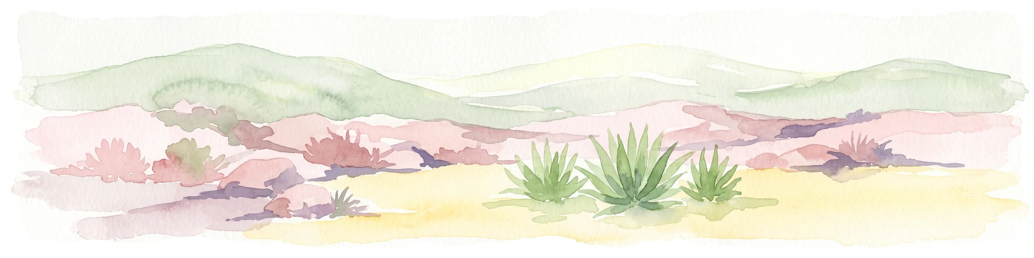
A horizontal watercolor painting showing a desert landscape with rolling hills in the background and agave plants in the foreground.
Wildlife reserveBaja California Sur
About 408 km away#7 closest

Southeast

Área de protección de flora y fauna Balandra: Wildlife Reserve and Gulf Coast Geography

Protected mangrove lagoon landscapes in Baja California Sur

Discover the ecological significance of Área de protección de flora y fauna Balandra, a protected coastal area near La Paz. This site features a unique convergence of mangrove forests, shallow sandy bays, and arid desert coastal scrub that defines its status as a significant wildlife reserve in northwestern Mexico.

Area
25.125 km²
Established
2012
Relief
Lowland
Climate
Arid
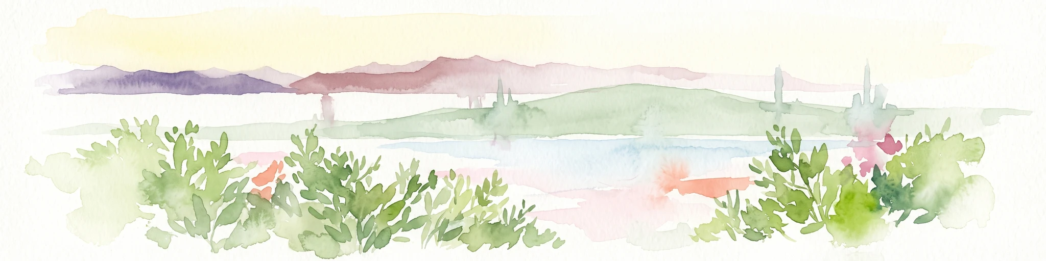
A watercolor painting showing a coastal scene with low-lying green hills in the midground, a strip of water in the foreground, and distant purple-hued mountains under a pale yellow sky.
Protected areaBaja California Sur
About 417 km away#8 closest

Southeast

El Mogote Protected Area: Coastal Geography and Wetland Mapping in Baja California Sur

Sand barriers, mangrove fringes, and arid dune systems.

El Mogote is a defining landform of the Bay of La Paz, showcasing the intersection of extreme arid environments and sheltered estuarine habitats. This protected area provides a distinct study of coastal morphology, where wind-driven dunes meet the quiet, vital channels of a Ramsar-recognized wetland system that sustains regional marine health.

Established
2008
Relief
Lowland
Climate
Arid
Access
Moderate access

Common questions about visiting, size, designation, and location context for San Ignacio Lagoon

San Ignacio Lagoon FAQs for park facts, access, geography, and protected area context

Find quick answers about San Ignacio Lagoon, including protected-area facts, park geography, trail and visitor context, and how the park fits into its surrounding country and regional landscape.
MoriAtlas Explorer

Continue Your Protected Areas Search Across the Global Atlas

Deepen your exploration by continuing the structured search for national parks and protected areas worldwide. Utilize the comprehensive filtering capabilities to compare different conservation landscapes and refine your understanding of global park geography. Discover more about the distribution and characteristics of protected natural areas.

Global natural geography