Mori Atlas logo
Park earthquake history

Review documented seismic events, magnitude readings, and epicentre distances in the Pasco region

Historical Earthquake Records and Seismic Activity near San Matías–San Carlos Protection Forest

This collection presents a catalogue of historical earthquakes recorded in the vicinity of the San Matías–San Carlos Protection Forest. Users can trace seismic records by event date, magnitude, depth, and calculated distance from the protected forest boundaries. The data provides a geographic perspective on local seismic history by mapping recorded epicentres against the rugged transition zone between the Peruvian Andes and the Amazon basin.

A flat-style digital illustration of a mountain landscape; in the foreground are stylized green plants, followed by a dense forest leading to a winding river that flows toward large, colorful mountains under a soft-toned sky.

A Peruvian cloud forest set aside to protect soils, waters, and indigenous heritage in the central Andean foothills.

San Matías, San Carlos Protection Forest

The San Matías–San Carlos Protection Forest is a national forest in the Pasco Region of central Peru, established in 1987 to defend fragile mountain soils, downstream infrastructure, towns, and farmland from the destructive effects of water erosion, huaycos, streams, and floods. The reserve stretches across an altitudinal band that begins in lowland Amazonian rainforest and climbs into mossy cloud forest, occupying the transition between the Peruvian Yungas and the Ucayali moist forests ecoregions. Beyond its hydrological role, the protection forest is recognized for its cultural importance, as it overlaps with traditional territories of the Ashaninka and Yanesha peoples, whose values the reserve was explicitly designed to maintain. Today the area forms part of the Oxapampa-Asháninka-Yánesha Biosphere Reserve, where it serves as a corridor of highland habitats linking the Andes to the broader Amazon lowlands, supporting spectacled bears, Andean cock-of-the-rock, jaguars, and a rich cloud forest flora. The forest's defining identity lies in the combination of protective function, ecological connectivity, and biocultural value, anchoring one of Peru's most important landscape-level conservation mosaics.

Location
Peru
Park type
Protected area
Established
1987
Area
1,458 km²
Highest point
2,250 m
San Matías–San Carlos Protection Forest Geography

Compare San Matías–San Carlos Protection Forest event distances

Explore earthquakes near San Matías–San Carlos Protection Forest

Review earthquake observations around San Matías–San Carlos Protection Forest, officially Bosque de Protección San Matías-San Carlos, a 1,458 km² mountain forest with major water presence; search reported date, magnitude, depth, locality and boundary distance with source access. No landscape labels are invented, and proximity does not prove boundary occurrence, effects, current hazard, causation or future activity.

Sort by
Magnitude
Location

This page describes catalogued earthquakes associated with the park by epicentre location and distance. It does not establish causation, assess current danger, or predict future earthquakes.

No earthquake records match the current filters

Park atlas

Continue beyond San Matías–San Carlos Protection Forest records

Discover more parks after San Matías–San Carlos Protection Forest

San Matías–San Carlos Protection Forest covers 1,458 km² of tropical Peruvian mountains with major water presence. Follow related park earthquake pages for independent source records and spatial relationships, not as evidence of shared terrain, forest consequences, current danger, or future activity.
National parkPasco Region
Park boundaries overlap#1 closest

Northwest

Yanachaga, Chemillén National Park: Protected Area in Pasco Region, Peru

Mapped terrain, Pleistocene refuge, and rich biodiversity.

Yanachaga, Chemillén National Park, a national park situated in Peru's Pasco Region, preserves over 122,000 hectares of mountainous cloud forest and rainforest ecosystems. Its landscape is characterized by dramatic canyons and steep forested slopes, creating significant altitudinal variation from 460 to 3,643 meters. Recognized as a Pleistocene refuge, the park shelters ancient forest remnants and harbors exceptional biodiversity, including hundreds of bird species and iconic mammals, offering rich context for geographic and protected-area exploration.

Area
1,220 km²
Established
1986
IUCN
II
Relief
Mountain
Protected areaOxapampa Province
Park boundaries overlap#2 closest

Northwest

Yanesha Communal Reserve: Geography and Protected Area Context in Oxapampa Province

A vital transition zone between the Andes and the Amazon

Gain insight into the physical character of Yanesha Communal Reserve, where humid tropical forests and river channels converge to form a complex ecosystem. This protected area offers a look at how sustainable land use and conservation intersect within the Palcazu River basin. Browse the geographic boundaries and mapped landscape features that define this essential region in central Peru.

Area
347.45 km²
Established
1988
IUCN
VI
Scope
Terrestrial
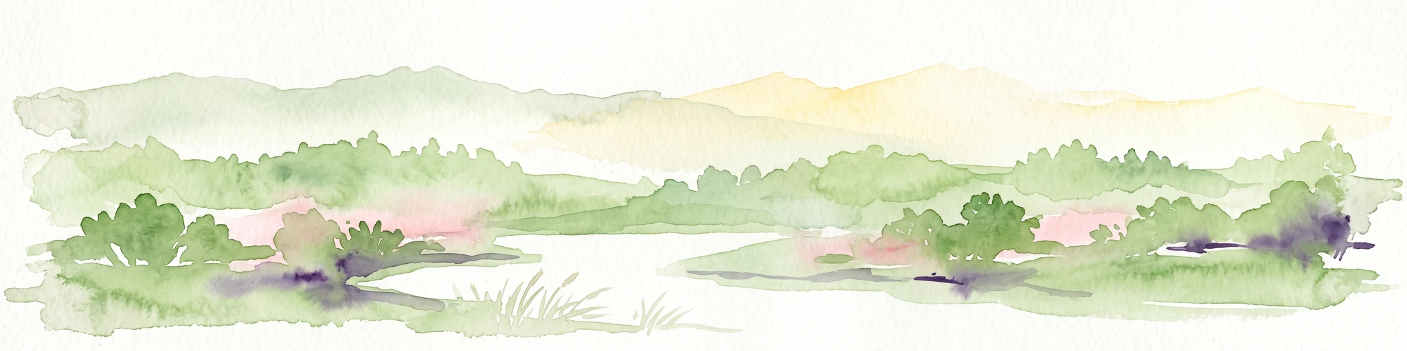
A soft watercolor illustration showing rolling green hills and distant mountain peaks in pale yellow and green tones, with a minimalist white background.
Wildlife reservePeru
14 km away#3 closest

Northeast

El Sira Communal Reserve: Geographic Profile and Protected Landscape Context in Peru

Analyzing the Sira Mountain range and regional watershed boundaries

El Sira Communal Reserve sits at the intersection of the Andes and the Amazon, protecting a vast mosaic of habitats across Huánuco, Pasco, and Ucayali. Its geography is defined by deep river valleys, mountain ridges, and a significant altitudinal range that supports diverse wildlife communities. This resource provides a detailed look at the boundaries, terrain, and ecological importance of this major Peruvian protected area.

Area
6,164.13 km²
Established
2001
IUCN
VI
Relief
Mountain
National parkPeru
79 km away#4 closest

Southeast

Otishi National Park: A Protected National Park Landscape in Peru's Geography

Explore the mapped boundaries and regional landscape of Otishi National Park.

Otishi National Park represents a significant protected area within Peru, offering a unique lens through which to explore regional geography and conservation landscapes. As a designated national park, it highlights the mapped boundaries and the natural terrain that defines this part of South America. Understanding Otishi National Park provides essential context for regional park discovery and the broader atlas of protected lands in Peru.

Area
3,059.73 km²
Established
2003
IUCN
II
Relief
Mountain
National parkHuánuco Region
97 km away#5 closest

Northwest

Tingo María National Park: National Park Protected Landscape in Huánuco Region, Peru

Atlas exploration of park boundaries and regional geography.

Investigate Tingo María National Park, a key protected area situated in the Huánuco Region of Peru. This national park designation signifies its importance for understanding the country's natural landscapes and mapped geography. Explore its protected territory and discover its place within the regional atlas.

Area
47.778 km²
Established
1965
IUCN
II
Relief
Mountain
National parkPeru
132 km away#6 closest

North

Cordillera Azul National Park: A National Park for Geographic Discovery in Peru

Explore Peru's protected landscape and regional map context.

Cordillera Azul National Park serves as a dedicated entry point for understanding Peru's protected natural areas through a geographic lens. This park's identity is tied to its specific mapped boundaries and its contribution to the nation's diverse terrain. Focusing on Cordillera Azul National Park allows for detailed atlas exploration of its unique landscape context within western South America, providing factual data for geographic understanding.

Area
13,531.9 km²
Established
2001
IUCN
II
Relief
Mountain
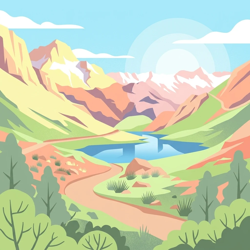
A flat-style vector illustration of a mountain valley with a central blue lake, surrounding peaks, and a winding dirt path.
Protected landscapeLima Region
138 km away#7 closest

Southwest

Nor Yauyos-Cochas Landscape Reserve: Mapped Geography and Protected Andean Terrain

High-altitude glacial landscape and karst geology

Investigate the high-Andean environment of Nor Yauyos-Cochas Landscape Reserve, a protected area in the Lima Region spanning glacial lakes and deep valleys. Focus on the topographic diversity of the Pariacaca massif and the global significance of its subterranean karst features. This atlas provides a detailed spatial look at how these high-elevation ecosystems and traditional cultural landscapes integrate into the broader Peruvian geography.

Area
2,212.68 km²
Established
2001
IUCN
V
Relief
Mountain
Nature reservePeru
166 km away#8 closest

West

Cordillera Huayhuash Reserved Zone: Protected Mountain Geography and Andean Watersheds

High-altitude glacial terrain in central Peru

Cordillera Huayhuash Reserved Zone comprises a dense concentration of glacial peaks and highland basins. As a major source of water for both the Pacific coast and the Amazon, this protected area represents a unique geographic crossroads where ice fields and alpine puna support critical regional ecosystems in the heart of the Andes.

Area
675.9 km²
Established
2002
Relief
Mountain
Climate
Alpine
MoriAtlas Explorer

Examine the Mapped Geography of San Matías–San Carlos Protection Forest

Continue exploring the intricate landscape of San Matías–San Carlos Protection Forest through its watershed boundaries and ecological zones. MoriAtlas provides deep context on how this protected area maintains vital environmental stability between the Andes and the Amazon. Start your investigation into its unique topography and regional significance.