Peaks
Popova Shapka
1,853 m

Detailed analysis of park boundaries, area metrics, and prominent mountain landscapes
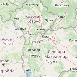
This geographic profile covers the regional extent and physical dimensions of Šar Planina National Park, spanning 627 square kilometers within North Macedonia. Discover the mapped perimeter of 178.94 kilometers and the distribution of internal natural landmarks, including Titov Vrv and various mountain valleys, across this protected mountain region.
Alpine wilderness with glacial lakes and the endangered Balkan lynx
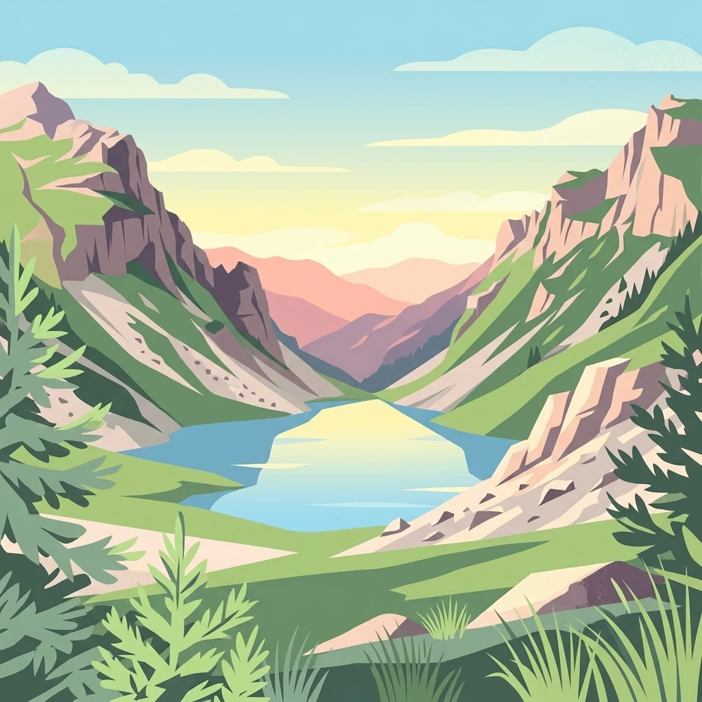
Šar Planina National Park is a protected mountain wilderness in northwestern North Macedonia, established in 2021 as the country's fourth national park and the first created after independence. The park encompasses the greater part of the Šar Mountains massif, a high Balkan range that forms a natural barrier along the border with Kosovo. With an area of approximately 627 square kilometers, the park protects an extraordinary alpine landscape featuring the highest concentration of peaks exceeding 2,000 meters in North Macedonia—around 220 summits, including 41 rising above 2,500 meters and 12 surpassing 2,600 meters. The range contains 29 permanent glacial lakes, the most of any mountain in the country, scattered throughout the high alpine zones and known locally as "Šar's Eyes." The park is ecologically significant as a habitat for the Balkan lynx, a critically endangered subspecies that serves as the park's symbolic species, alongside brown bears, wolves, and diverse alpine fauna.
National park profile, regional context, and country membership records
Interactive boundary geometry and recorded spatial measurements
Explore recorded peaks, lakes, and streams located within the protected mountain classification.
Peaks
1,853 m
Peaks
2,493 m
Lakes
Peaks
1,890 m
Peaks
2,515 m
Peaks
2,524 m
Recorded mountain terrain, major water presence, and alpine lake classifications
Mountains · Lakes
Trace the regional spread of protected landscapes, comparing adjacent national park geography and Balkan mountain ranges.
South

Mapped geography of Alpine peaks, gorges, and unique endemic species.
Mavrovo National Park, North Macedonia's largest protected area, offers a deep dive into a complex Alpine geography. Dominated by the Šar, Korab, and Bistra mountain systems, the park features towering peaks and the dramatic Radika River gorge. This protected landscape is globally significant for its role in conserving the rare Balkan lynx and harbors endemic tertiary relic plant species like Macedonian pine. Explore the mapped boundaries, glacial lakes, and distinct terrain that define this vital conservation area.
North

Explore its dramatic peaks and glacial terrain.
Sharr Mountains National Park in Kosovo is a prime example of dramatic alpine topography, featuring jagged peaks, steep glacial valleys, and clear evidence of ancient glacial shaping. This protected area safeguards critical ecosystems, including extensive old-growth forests and diverse alpine meadows, supporting notable wildlife conservation efforts. Its scenic ridgelines, glacial lakes, and mountain streams define the park's natural landscape, offering rich context for atlas-based geographic discovery within the Balkans.
Southwest

A critical protected landscape featuring Albania's highest mountain peak and glacial basins
Korab-Koritnik Nature Park represents a major expanse of high-altitude wilderness, stretching across the rugged borderlands of Dibër County. The protected landscape is characterized by diverse terrain, including dramatic rock walls, deep glacial valleys, and extensive coniferous forests. As a central component of the European Green Belt, the park serves as a vital geographic anchor for studying mountain ecosystems and protected-area connectivity in the Balkan region.
Southwest
Dibër County's alpine protected area with unique glacial lakes.
Delve into the detailed geographic context and mapped protected area of Lurë-Dejë Mountain National Park, an essential natural landscape in Albania's Dibër County. This park is renowned for its rare chain of twelve glacial lakes, situated at high elevations amidst dramatic alpine terrain. Its protected status ensures the preservation of significant old-growth forest ecosystems, including the critically endangered Balkan pine, contributing to its recognition as an Important Bird and Plant Area. Explore the park's distinctive terrain, from its soaring mountain peaks to its unique alpine meadows, all within a comprehensive geographic atlas framework.

Northwest
Explore dramatic mountains, glacial lakes, and diverse ecosystems.
Delve into the protected geography of Bjeshkët e Nemuna National Park, Kosovo's expansive national park located in the Accursed Mountains. This atlas entry details its significant alpine terrain, from dense forests to high-altitude meadows, and highlights the presence of glacial lakes like Liqenat. Understand its role as a vital conservation corridor and a key component of the Balkan's natural heritage.
South
A tectonic mountain lake system in North Macedonia
Lake Ohrid represents a monumental protected landscape within the mountainous southwestern Balkans. As one of the oldest and deepest lakes in Europe, it serves as a critical refuge for unique endemic species that exist in its clear, oligotrophic waters. This area showcases the complex interplay between tectonic geological history, high-mountain terrain, and the sustained conservation of a globally significant natural basin.
South
Explore Elbasan County's significant mountain wilderness and protected natural features.
Shebenik National Park is a protected national park in Elbasan County, Albania, notable for its dramatic glacial terrain and extensive ancient forests. This park offers a deep dive into Albania's natural landscape, featuring 14 glacial lakes and serving as vital habitat. Its position within the Balkan Peninsula's geography makes it a key point of reference for understanding protected areas and mountain wilderness within a structured atlas.
Northwest
Glacial terrain and protected primeval forests in Kukës County
Gashi Valley represents a vital nature reserve and protected alpine landscape in the Albanian Alps. Characterized by its glacial history, the area contains rugged ridges, morainic lakes, and primeval beech forests that serve as a crucial benchmark for European broadleaf ecosystems. This site offers deep insight into the complex geology and ecological significance of the northeastern mountain regions in Albania.
Delve deeper into the mapped geography and protected landscape identity of Šar Planina National Park. Understanding this key national park involves exploring its unique alpine terrain, the distribution of its glacial lakes, and its role within the broader Balkan mountain systems. Use MoriAtlas to connect this protected area to its surrounding regional context and discover its significance in the atlas of protected lands.