Mori Atlas logo
Protected areaSchwalm-Nette-Platte mit Grenzwald und Meinweg

A diverse habitat mosaic of Lower Rhine heaths, wetlands, and forests along the German border

Schwalm-Nette-Platte mit Grenzwald und Meinweg Protected Area and Regional Geography Atlas

(EU-Vogelschutzgebiet Schwalm-Nette-Platte mit Grenzwald und Meinweg)

Schwalm-Nette-Platte mit Grenzwald und Meinweg comprises an extensive protected landscape in North Rhine-Westphalia, defined by a complex of heath moors, near-natural streams, and mixed forest stands. This atlas entry details the geographic distribution of its five sub-areas, mapping the interplay between sandy ridges and floodplain ecosystems that support critical avian populations. Explore the regional terrain and the structural integrity of this major cross-border bird protection territory.

bird sanctuaryEU Special Protection AreaLower Rhinewetlandsheathlandspine forests

Schwalm-Nette-Platte mit Grenzwald und Meinweg

Protected area

Park overview

Structured park overview, official facts, and landscape profile for Schwalm-Nette-Platte mit Grenzwald und Meinweg

Schwalm-Nette-Platte mit Grenzwald und Meinweg park facts, protected area profile, and essential visitor context

Review the core facts for Schwalm-Nette-Platte mit Grenzwald und Meinweg, including designation, size, terrain, visitor scale, habitats, and operating context in one park-focused overview.

About Schwalm-Nette-Platte mit Grenzwald und Meinweg

Schwalm-Nette-Platte mit Grenzwald und Meinweg is a designated European bird protection area in the western part of the German federal state of North Rhine-Westphalia. Recognized under the European Union Birds Directive, the sanctuary is jointly administered by the regional authorities of Düsseldorf and Cologne. With five distinct sub-areas spread across Mönchengladbach and the rural districts of Heinsberg, Kleve, and Viersen, it forms one of the larger bird sanctuaries in the Lower Rhine region.

The site's defining feature is the exceptional mosaic of natural habitat types it encompasses. Still waters, near-natural flowing streams, light pine and oak mixed forests, dry heaths and heath moors, bog and swamp woodlands, alder-ash floodplain forests, and beech-oak forests all occur in remarkably well-developed forms within the overall territory. This combination of dry and wet, open and forested habitats reflects the typical natural character of the Lower Rhine lowlands while supporting an unusually full spectrum of breeding and migratory birdlife.

Within Germany, the sanctuary is recognized as a state-level wildlife area of high significance. The variety of habitats it protects, combined with its large size and proximity to the Dutch border, gives it particular relevance as a refuge for species that depend on undisturbed wetlands, heathland, and forest mosaics in the densely populated western part of the country. It sits within a broader network of related lower-level nature reserves, including the Schwalmbruch, Elmpter Schwalmbruch, Brachter Wald, and Krickenbecker Seen, which together form a substantial connected area of protected landscape along the German-Dutch frontier.

Quick facts and research context for Schwalm-Nette-Platte mit Grenzwald und Meinweg

Schwalm-Nette-Platte mit Grenzwald und Meinweg is a European bird sanctuary in western North Rhine-Westphalia, Germany, established under the EU Birds Directive in 1983.

The protection area has the official code DE-4603-401 and consists of five separate sub-areas totaling about 77 square kilometers. It lies along the border with the Netherlands, generally between the A40 motorway in the north and Wegberg in the south, and falls within the administrative regions of Düsseldorf and Cologne.

Protection and recognition

Review documented protected area designation facts, WDPA records, and management scope.

Schwalm-Nette-Platte mit Grenzwald und Meinweg Protection Status and Records

Schwalm-Nette-Platte mit Grenzwald und Meinweg gathers documented protection status, official WDPA database records, and management scope metrics. Protected area designation details outline the foundational conservation framework governing this regional landscape.

Protection details

WDPA ID
555537536
Park context

Deeper park guide and search-rich context for Schwalm-Nette-Platte mit Grenzwald und Meinweg

Schwalm-Nette-Platte mit Grenzwald und Meinweg history, landscape, wildlife, and travel context

Explore Schwalm-Nette-Platte mit Grenzwald und Meinweg through its history, landscape character, ecosystems, wildlife, conservation priorities, cultural context, and seasonal travel timing in a structured park guide built for atlas discovery and search intent.

Why Schwalm-Nette-Platte mit Grenzwald und Meinweg stands out

Schwalm-Nette-Platte mit Grenzwald und Meinweg is best known for being one of North Rhine-Westphalia's most important bird protection areas, harboring a remarkable variety of breeding, resting, and migrating bird species within a single, large habitat mosaic. The site's classic Lower Rhine landscape mosaic is the foundation of its ornithological importance: pine and oak forests, dry heaths, heath moors, softwood and hardwood floodplain woodlands, near-natural streams, and still waters create an unusually rich combination of breeding and feeding habitats. It owes its ornithological value especially to outstanding breeding populations of species such as bluethroat, woodlark, common snipe, little grebe, black tern, and common stonechat, which set the area apart from many other regional bird sanctuaries.
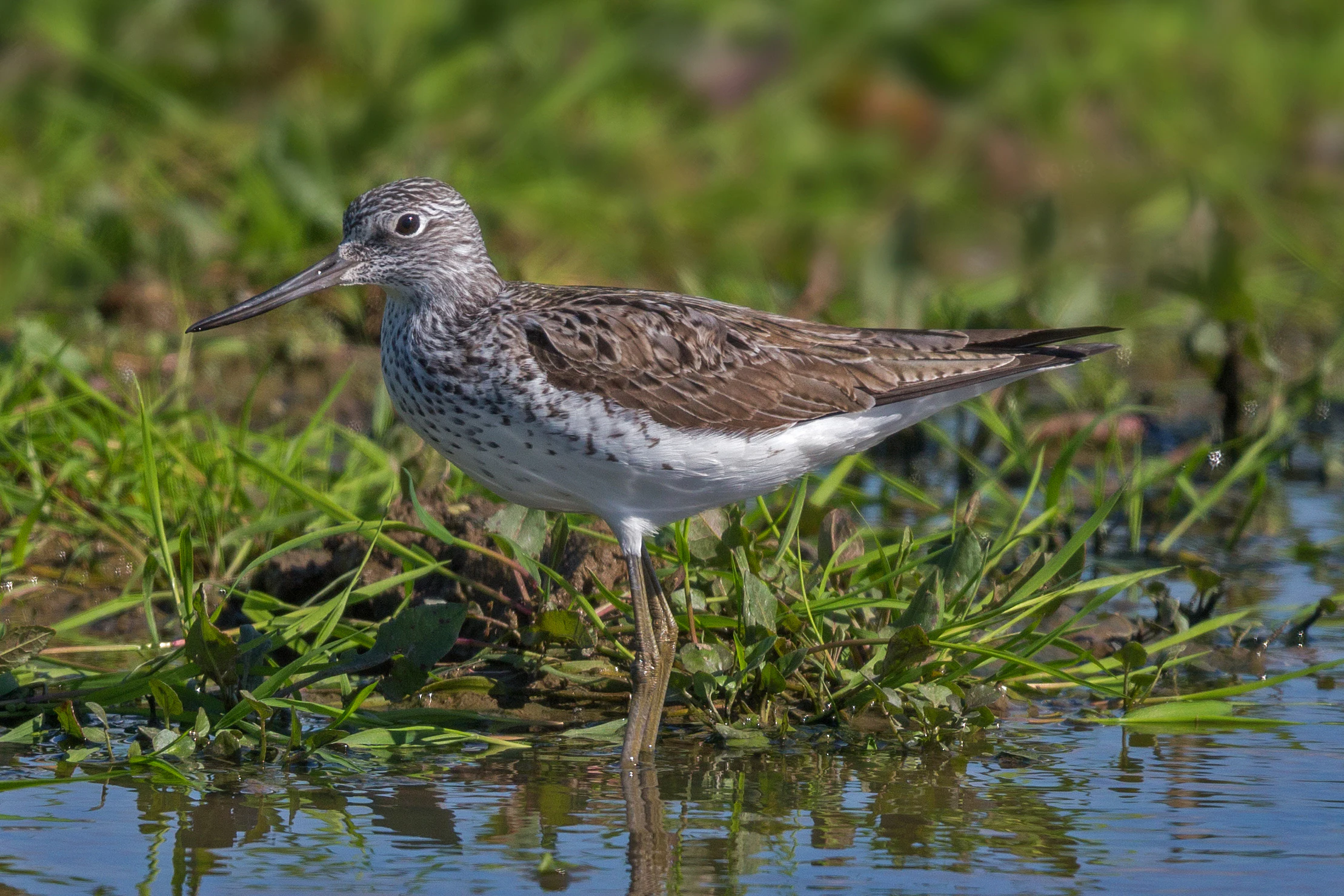
A common greenshank bird standing in shallow water among green marsh grasses.
A common greenshank wading in the wetlands of the Schwalm-Nette-Platte.

Schwalm-Nette-Platte mit Grenzwald und Meinweg history and protected-area timeline

Schwalm-Nette-Platte mit Grenzwald und Meinweg was formally designated as a European bird protection area in 1983, under ordinances issued by the regional authorities of Düsseldorf and Cologne. The designation was made within the framework of the European Birds Directive, whose purpose is to conserve all naturally occurring wild bird species within the European Union and to regulate their protection, management, and control, including the protection of their eggs and habitats.

Within the broader regional system of nature conservation in North Rhine-Westphalia, the bird protection area sits alongside a network of pre-existing landscape protection areas and nature reserves along the Lower Rhine. Many of the individual sub-areas that now form part of the sanctuary, such as the Brachter Wald, the Schwalmbruch, and the Elmpter Schwalmbruch, had already been recognized as protected areas under German nature conservation law before their inclusion in the European network.

Since its 1983 designation, the sanctuary has continued to function within the Natura 2000 framework as both a national and European conservation instrument. Its detailed conservation objectives, particularly those covering breeding birds, migratory visitors, and winter guests, were refined in line with periodic reporting requirements under the Birds Directive, and remain the basis for ongoing habitat management actions in the area.

Schwalm-Nette-Platte mit Grenzwald und Meinweg landscape and geographic character

The landscape of Schwalm-Nette-Platte mit Grenzwald und Meinweg is a classic expression of the Lower Rhine lowlands, in which sandy, gently undulating terrain is interwoven with a multitude of wetland features. Although the area sits at relatively modest elevations typical of the Lower Rhine plain, its visual character is unusually varied because of the closeness of water bodies, forest stands, and heath remnants.

Heath moors and dry heaths form one of the visually most distinctive elements of the site, often adjacent to open pine and oak mixed forests with light, semi-open canopies. Pine-dominated plantation forests, which make up a large share of the woodland cover, are interspersed with these more open, heathy sections, producing the patchwork quality that defines the region's scenery. Streams, small rivers, and still waters occur throughout the territory, and together they create the conditions for softwood and hardwood floodplain woodlands, bog forest, and swamp woodland in wetter pockets.

Streams such as the Schwalm and associated tributaries shape the valley systems within the sanctuary. Steep banks, undercut slopes, and natural river dynamics along these watercourses create nesting sites for birds such as the kingfisher and sand martin, while also supporting rich aquatic vegetation. The contrast between sandy ridges, open heath, dark coniferous stands, and bright floodplain forest gives the area a layered landscape character that is recognizable from many other parts of the Lower Rhine.
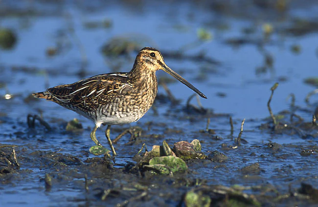
A common snipe bird standing in shallow muddy water, facing right.
A common snipe, Gallinago gallinago, foraging in the wet, muddy terrain of the park.

Schwalm-Nette-Platte mit Grenzwald und Meinweg ecosystems, habitats, and plant life

From an ecological perspective, the sanctuary can be understood as a textbook example of habitat mosaic conservation in a lowland setting. Despite the relatively modest topography of the Lower Rhine, the overlap of sandy soils, peat substrates, and alluvial deposits has produced a striking diversity of ecological communities within a comparatively limited area.

Dry land habitats are dominated by lowland heaths, juniper formations, dry grasslands on sandy substrates, and species-rich mesophile grassland, as well as areas of juniper heath and, locally, montane-type bent-grass meadows. Pine plantations dominate large sections of the territory, but these artificial forests are interspersed with more ecologically valuable deciduous and mixed woodland types, including old acidophilous oak forests on sand, sub-Atlantic pedunculate oak forests, and beech forests on acidic substrate.

Wetland habitats are equally pervasive. Oligo-, meso-, and eutrophic standing waters, dystrophic ponds and lakes, lowland rivers with aquatic vegetation, and transition or quaking bogs are all represented. Bog forests, alder-ash floodplain woodlands, and tall herb fringe communities complete the wetland mosaic. This combination of dry and wet, acidic and base-rich, open and forested habitats gives the sanctuary a degree of ecological complexity unusual within the regional context, and explains why the area supports so many important bird species.
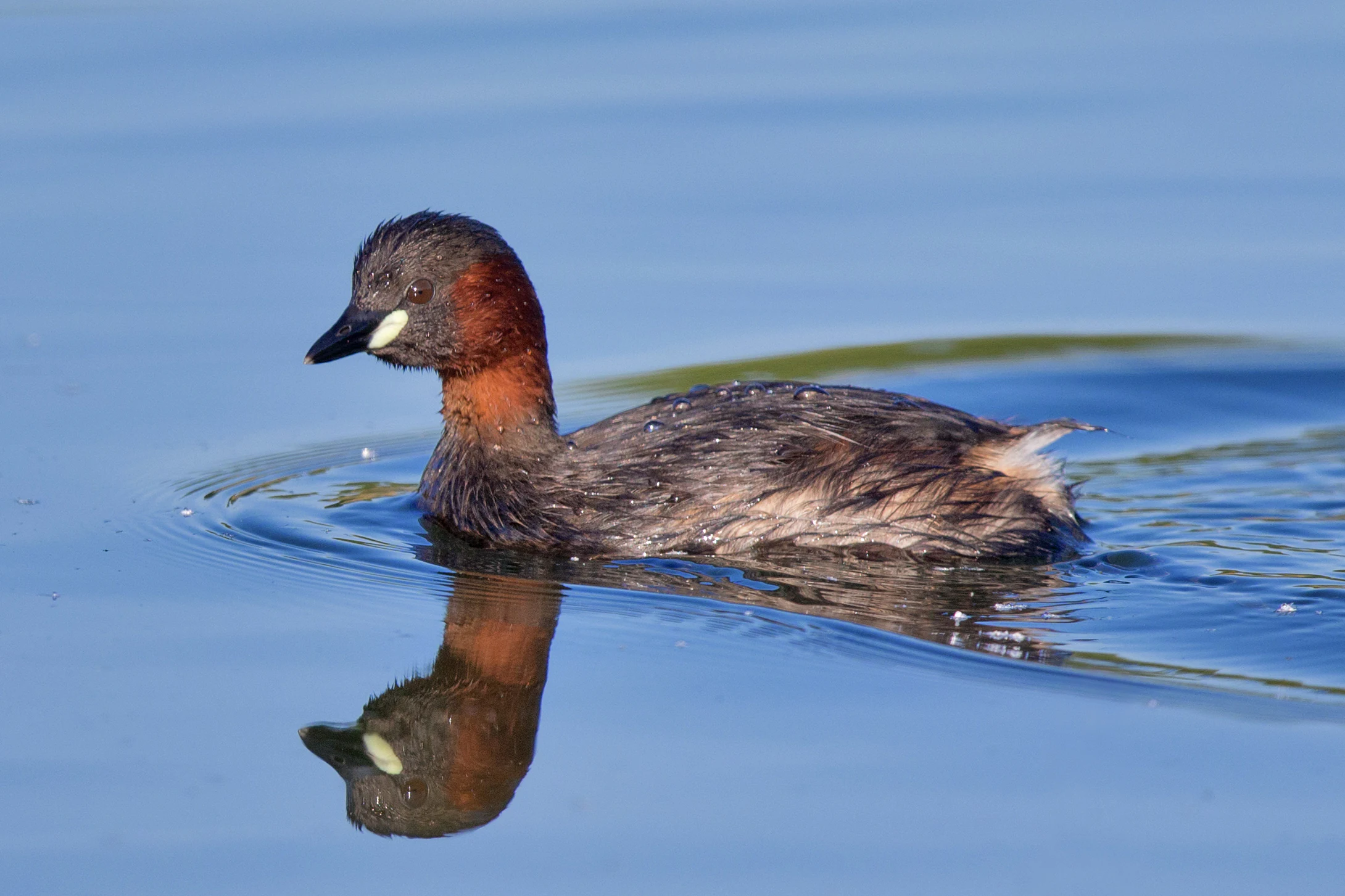
A small little grebe with a dark head and reddish-brown neck swimming on blue water with a clear reflection visible below it.
A little grebe swimming in the calm water of the park.

Schwalm-Nette-Platte mit Grenzwald und Meinweg wildlife and species highlights

The wildlife profile of Schwalm-Nette-Platte mit Grenzwald und Meinweg is dominated by its bird community, which is the central reason for its European protection status. The sanctuary supports outstanding breeding populations of several notable species, including bluethroat, woodlark, common snipe, little grebe, and common stonechat, as well as more widely distributed forest and wetland specialists.

Among the regularly documented breeding birds, the list includes hobby and black kite as raptors of forested and semi-open landscape, goshawk and Eurasian sparrowhawk in woodland, and specialist forest species such as middle spotted woodpecker, black woodpecker, golden oriole, and European honey buzzard. Wetland and riverside breeding birds include kingfisher, sand martin, water rail, common reed warbler, eurasian bittern, marsh warbler, and little bittern, all of which depend on the still waters, streams, and reedbeds of the area. Open-country and farmland-edge species include lapwing, Eurasian curlew, corncrake family relatives such as quail (within the wider lowland mosaic), whinchat, stonechat, meadow pipit, red-backed shrike, and great grey shrike in the more heathy, semi-open sections.

The area is also significant for migratory and wintering birds. Passing and wintering species documented in the sanctuary include greylag goose, bean goose, wigeon, common teal, garganey, northern shoveler, common pochard, tufted duck, goosander, goldeneye, and a variety of waders such as common greenshank, spotted redshank, wood sandpiper, and jack snipe. The combination of wet meadows, still waters, and open freshwater margins makes the sanctuary an attractive staging and wintering site in an otherwise densely populated landscape.
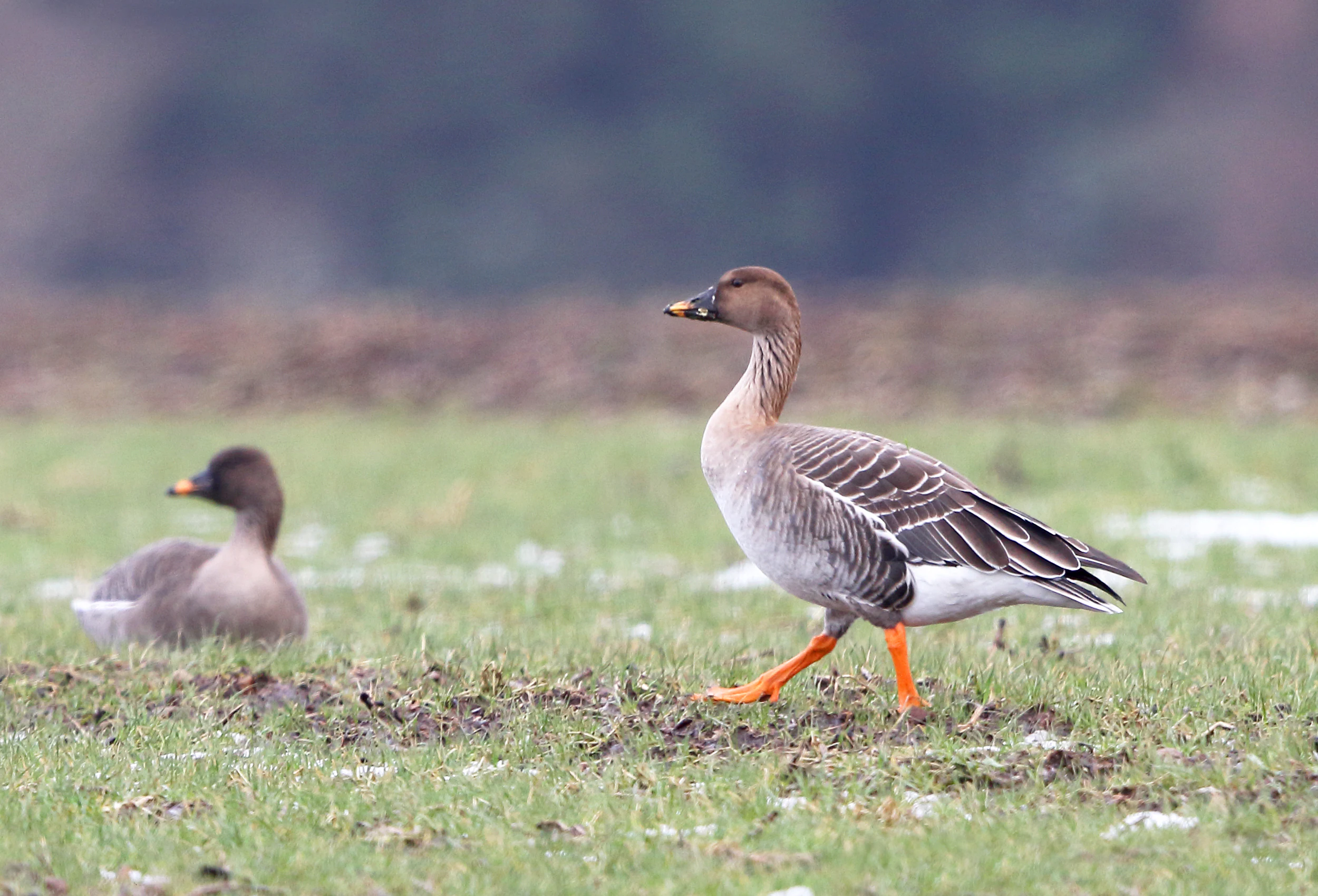
Two bean geese walking through a green field, with one in sharp focus in the foreground.
A pair of bean geese foraging in a grassy field, highlighting the park's importance as a migratory bird sanctuary.

Schwalm-Nette-Platte mit Grenzwald und Meinweg conservation status and protection priorities

From a conservation perspective, the sanctuary's central purpose is the preservation and improvement of breeding, resting, and feeding habitats for the bird species covered by the European Birds Directive. Its recognition as a state-level important bird area reflects both the rarity of some of the species present and the quality of the habitat mosaic that supports them.

The conservation strategy emphasizes two complementary approaches. The first is the protection of the sanctuary against land-take and habitat fragmentation, with measures explicitly aimed at avoiding any new sealing of soils or splitting of habitat areas. The second is active habitat management, including maintenance of high groundwater levels, careful watercourse management, reduction of nutrient and pollutant inputs, retention of deadwood and old trees in woodland, and extensive rather than intensive use of farmland and grassland.

For species associated with specific structures, conservation actions are highly targeted. Wetland species benefit from stable water levels and retention of old reedbeds, while heathland species such as woodlark, nightjar, and great grey shrike depend on continued low-intensity management using grazing or patchy mowing to keep the heath vegetation open. Forest species, in particular black woodpecker, middle spotted woodpecker, and golden oriole, depend on the retention of old, deadwood-rich stands, including old beech trees more than 120 years old for black woodpecker breeding. The sanctuary also plays a role within the wider German-Dutch protected-area network along the Lower Rhine, where it connects to a series of related nature reserves and landscape protection areas.

Schwalm-Nette-Platte mit Grenzwald und Meinweg cultural meaning and human context

The cultural context of the sanctuary is shaped primarily by the long-standing relationship between the Lower Rhine landscape and traditional land use forms such as heath farming, extensive grazing, and small-scale forestry. Forest names such as Brachter Wald and feature names such as Schwalmbruch, Elmpter Schwalmbruch, and Meinweg reflect the broader historical pattern of settlements, woodland estates, and pastoral commons that have shaped this part of North Rhine-Westphalia for centuries.

The Meinweg area in particular carries a regional identity rooted in the borderland character of the German-Dutch frontier. Several of the constituent sub-areas are recognized at the national level as nature reserves, including Schwalmbruch, Lüsekamp and Boschbeek, Tantelbruch, Diergardt'scher Wald, Brachter Wald, Heidemoore, and Krickenbecker Seen, each of which carries its own local heritage. Within this broader context, the bird sanctuary functions as a European-level umbrella over a regional network of protected places that are locally appreciated for their cultural, historical, and natural value.
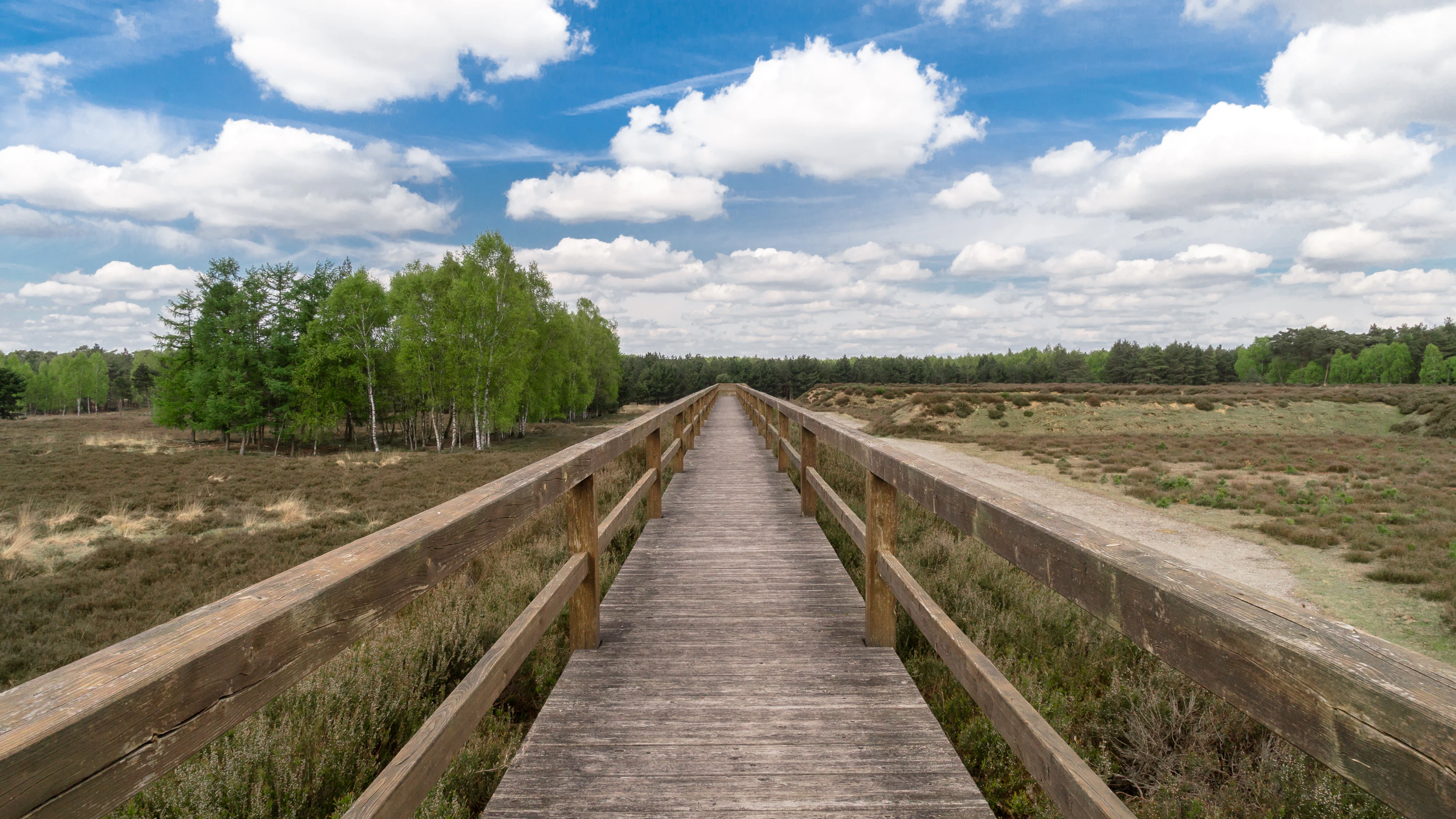
A straight wooden boardwalk with railings stretches into the distance, flanked by low heathland vegetation and small clusters of birch trees under a blue sky with white clouds.
A wooden boardwalk path winds through the open heathland landscape of Brachter Wald.

Top sights and standout views in Schwalm-Nette-Platte mit Grenzwald und Meinweg

Schwalm-Nette-Platte mit Grenzwald und Meinweg stands out for combining a large protected area, a distinctive cross-border location, and one of the richest bird habitats in North Rhine-Westphalia. Its five sub-areas collectively hold dry heaths, heath moors, near-natural streams, still waters, open pine and oak forests, and alder-ash floodplain woodlands, all within a single coordinated European protection framework.

Within Germany, the sanctuary is recognized as outstanding for its breeding populations of bluethroat, woodlark, common snipe, little grebe, and common stonechat, and as an important staging and wintering area for a wide range of migratory and wintering waterbirds. Its combination of high ecological quality, scale, and proximity to the Netherlands makes it a model example of how a working lowland landscape can also function as a major European bird sanctuary.

Best time to visit Schwalm-Nette-Platte mit Grenzwald und Meinweg

Spring and early summer are the most rewarding times to experience the sanctuary, when breeding activity is at its peak and many of the characteristic songbirds, including bluethroat, woodlark, and common nightingale, are most vocal. Late spring and early summer also offer the richest display of waterbird activity on the still waters and slow-flowing streams that run through the area.

For migratory and wintering waterbirds, late autumn through winter tends to bring the highest numbers of geese, ducks, and waders to the wet meadows and open water margins, particularly in years with cold conditions further north. Visiting the open heath sections in late spring or summer provides the best chance to see dry-habitat specialists such as woodlark, European nightjar, and great grey shrike, while low light in early morning or evening typically offers the most rewarding wildlife observation across all seasons.

Monthly climate preview

Examine long-term representative temperature and precipitation averages month by month

Schwalm-Nette-Platte mit Grenzwald und Meinweg Climate Normals and Annual Weather Patterns

Schwalm-Nette-Platte mit Grenzwald und Meinweg exhibits a measured annual thermal rhythm alongside consistent multi-month precipitation patterns recorded at a representative elevation. Reviewing the complete twelve-month statistical baseline provides deeper context regarding long-term climatic norms across the regional coordinate.
Annual mean10 °C
2 °C19 °C
Jan
Feb
Mar
Apr10°
May14°
Jun17°
Jul19°
Aug18°
Sep15°
Oct10°
Nov
Dec
Warmest month
July

18.7 °C

Coolest month
January

1.9 °C

Wettest month
December

2.6 mm/day

Driest month
April

1.5 mm/day

Park location guide

Geography guide, regional context, and park location map for Schwalm-Nette-Platte mit Grenzwald und Meinweg

Schwalm-Nette-Platte mit Grenzwald und Meinweg park geography, regions, and map view in Germany

Understand where Schwalm-Nette-Platte mit Grenzwald und Meinweg sits in Germany through a broader geographic reading of the surrounding landscape, nearby location context, and its mapped position within the national park landscape.

How Schwalm-Nette-Platte mit Grenzwald und Meinweg fits into Germany

Germany is a federal republic in Western and Central Europe with a population of over 83 million across sixteen constituent states. It is Europe's largest economy by nominal GDP and a major global exporter and importer. The capital is Berlin, and the country borders Denmark, Poland, Czech Republic, Austria, Switzerland, France, Luxembourg, Belgium, and the Netherlands.

Wider geography shaping Schwalm-Nette-Platte mit Grenzwald und Meinweg in Germany

Germany is located in Western and Central Europe, spanning 357,022 km². It borders Denmark to the north, Poland and the Czech Republic to the east, Austria and Switzerland to the south, and France, Luxembourg, Belgium, and the Netherlands to the west. The country has coastlines on the Baltic Sea and North Sea to the north, with the Alps located in the southern region.

Map view of Schwalm-Nette-Platte mit Grenzwald und Meinweg

Use this park location map to pinpoint Schwalm-Nette-Platte mit Grenzwald und Meinweg in Germany, understand its exact geographic position, and read its mapped placement within the surrounding landscape more clearly.

Pigeon | © OpenStreetMap contributors

Location context for Schwalm-Nette-Platte mit Grenzwald und Meinweg

North Rhine-Westphalia

Visualizing the terrain, habitats, and scenery of a Lower Rhine bird sanctuary

Schwalm-Nette-Platte mit Grenzwald und Meinweg Photos and Landscapes

Visual documentation reveals the intricate mosaic of dry heaths, open pine forests, and wetland floodplains defining Schwalm-Nette-Platte mit Grenzwald und Meinweg. Examining these protected habitats clarifies the ecological character and terrain variety shaping the regional landscape.

A common greenshank bird standing in shallow water among green marsh grasses.

A great egret with white plumage and a yellow bill standing in tall green grass, looking down while hunting.

A common snipe bird standing in shallow muddy water, facing right.

A small little grebe with a dark head and reddish-brown neck swimming on blue water with a clear reflection visible below it.

Two bean geese walking through a green field, with one in sharp focus in the foreground.

A meadow pipit bird with brown streaked plumage standing on light-colored sand and dark plant debris.

A straight wooden boardwalk with railings stretches into the distance, flanked by low heathland vegetation and small clusters of birch trees under a blue sky with white clouds.

Park atlas

Explore nearby protected areas and connected Lower Rhine lowland landscapes.

Other Parks Near Schwalm-Nette-Platte mit Grenzwald und Meinweg for Regional Comparison

Browse other parks located near Schwalm-Nette-Platte mit Grenzwald und Meinweg to compare adjacent lowland habitats, wetland reserves, and forest ecosystems. Continuing into surrounding regional protected areas reveals broader geographic patterns across the German borderlands.
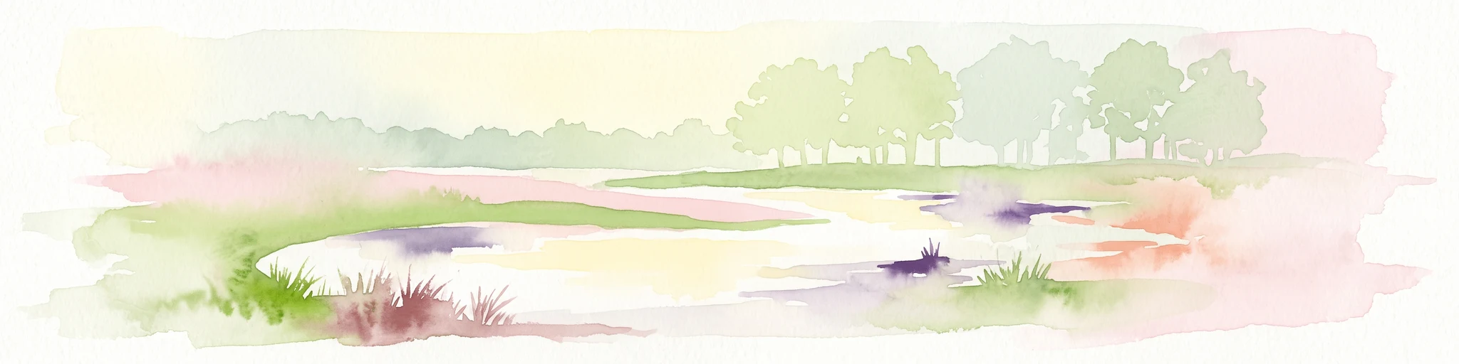
Watercolor illustration of a peaceful lakeside landscape with soft green trees, rolling hills, and a calm body of water.
Protected landscapeGermany
About 4.4 km away#1 closest

Southwest

Naturpark Maas-Schwalm-Nette: Geography, Protected Landscapes, and Regional Map Context

A cross-border protected area spanning Germany and the Netherlands

Naturpark Maas-Schwalm-Nette encompasses a wide cross-border expanse defined by the interaction of three distinct river systems. This protected landscape contains notable natural formations including the Krickenbecker Seen peat lakes and the juniper heath of the Lower Rhine. With terrain ranging from quiet border forests to extensive wetlands, the park serves as a primary geographic link between regional conservation zones in Germany and the Netherlands.

Area
870 km²
Established
2002
Relief
Lowland
Climate
Temperate
Watercolor painting of a soft, hazy forest landscape with a pond in the foreground.
Nature reserveNorth Rhine-Westphalia
About 6.1 km away#2 closest

Southwest

Kaldenkirchener Grenzwald Nature Reserve in North Rhine-Westphalia

Regional border forest with heath moors and rare arboretum stands

Explore the geographic character of the Kaldenkirchener Grenzwald, a significant nature reserve located in the Nettetal region. This area showcases the interplay between native sandy pine forests and protected heath moor remnants, while incorporating the unique Sequoiafarm arboretum. Gain insights into the border landscape of the Lower Rhine and the historical ecological restoration that defines this protected area within Germany.

Established
1949
Relief
Lowland
Climate
Temperate
Access
Easy access
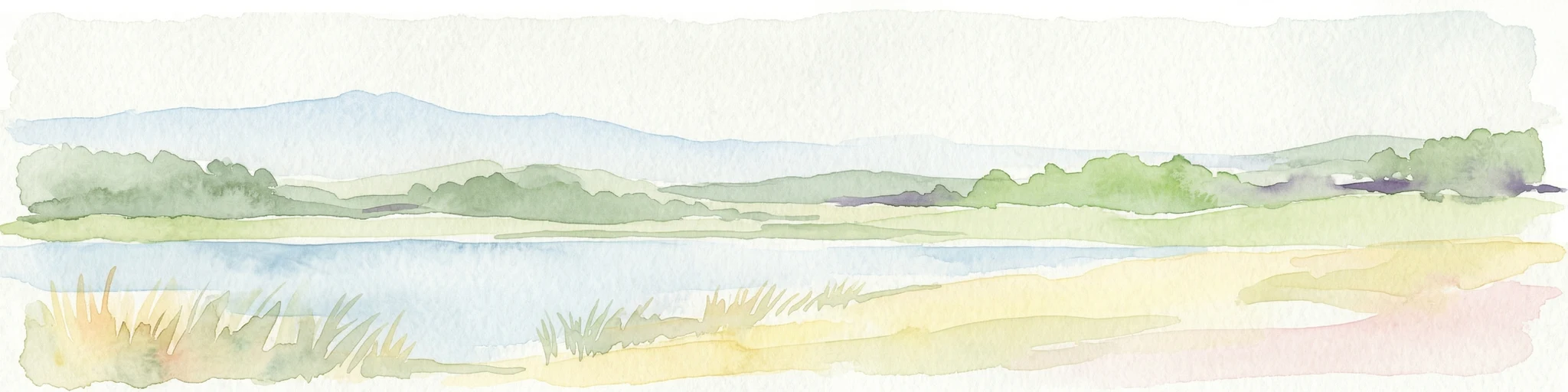
Watercolor painting of a lake, grassy shoreline, distant hills, and trees
National parkLimburg
About 17 km away#3 closest

North

De Maasduinen National Park: Mapping the Longest River Dune System in the Netherlands

Protected Landscape and Dune Terrain in Limburg

Delve into the geographic identity of De Maasduinen National Park, a vital protected area in Limburg. This page offers detailed insights into its remarkable dune landscape, heathlands, and forests, emphasizing its role within the Dutch natural atlas and its connections to surrounding conservation areas.

Area
45 km²
Established
1996
IUCN
II
Relief
Lowland
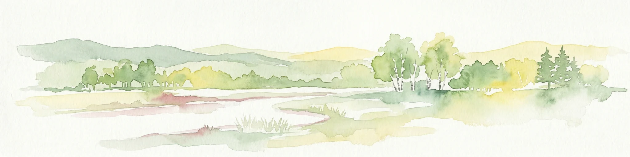
Watercolor painting of a landscape featuring a stream, trees, and rolling hills
National parkLimburg
About 17 km away#4 closest

South

De Meinweg National Park: Unique Terraced Landscape and Protected Area in Limburg

National Park with exceptional reptile and amphibian biodiversity.

De Meinweg National Park is a remarkable protected landscape located in the Dutch province of Limburg, distinguished by its rare terraced topography unlike any other in the Netherlands. This national park, covering 1,800 hectares, is a key component of the transboundary Grenspark Maas-Swalm-Nette, bordering Germany. Its ecological significance is underscored by its status as a Natura 2000 site, with notable biodiversity, particularly among reptiles and amphibians, and regenerating raised bogs. MoriAtlas offers a map-centric view of this unique protected area, detailing its geographic context and landscape features for structured discovery.

Area
18 km²
Established
1995
IUCN
II
Relief
Upland
Nature reserveKrefeld
About 22 km away#5 closest

East

Hülser Bruch Nature Reserve: Geographic Atlas and Protected Landscape Mapping for Krefeld

A historic glacial plain and protected wetland habitat in the Lower Rhine region.

Hülser Bruch represents a vital protected area in Krefeld, characterized by clay rich soils, high groundwater levels, and ancient brook channels. The reserve preserves a distinct mosaic of coppice woodland and earthen embankments that reveal the geomorphological influence of Pleistocene ice sheets on this lowland territory.

Area
4.3 km²
Established
2002
Relief
Lowland
Climate
Temperate
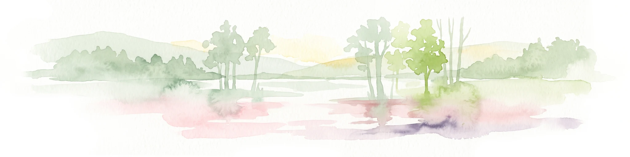
Watercolor painting of a soft-focus landscape featuring gentle green hills, sparse trees, and a calm, watery foreground.
Nature reserveNorth Rhine-Westphalia
About 23 km away#6 closest

South

Helpensteiner Bachtal, oberes Schaagbachtal und Petersholz Nature Reserve Atlas

Protected lowland stream valleys and sandy heathland mosaic

Located in the town of Wegberg, this nature reserve protects a variety of habitats including swamp forests and brook-side meanders. The reserve functions as a critical protected landscape, where dry sandy ridges meet moist lowland valleys, supporting rare flora and fauna near the border. This entity provides a structured look at the terrain, ecological character, and regional importance of one of Germany's key protected land areas.

Area
6.929 km²
Established
1985
Water
Major water bodies
Watercolor painting of a peat bog ecosystem featuring green trees, pink and yellow vegetation, a body of water, and distant mountains
National parkNetherlands
About 24 km away#7 closest

West

De Groote Peel National Park: Mapped Boundaries of a Unique Raised Bog & Wetland

Protected area with exceptional birdlife and peat landscape.

De Groote Peel National Park represents a crucial protected landscape in the Netherlands, renowned as one of the last substantial raised bogs in Western Europe. Its terrain is characterized by a distinct blend of open lakes formed by historical peat extraction, heathland expanses, and sensitive peat swamps. This Ramsar-designated wetland is a vital habitat for numerous bird species, offering unique opportunities for landscape context and atlas exploration of its ecological significance and mapped geographic features.

Area
13.4 km²
Established
1993
IUCN
II
Relief
Lowland
A soft watercolor painting of a winding stream through a grassy meadow with gentle hills in the background.
Nature reserveNordrhein-Westfalen
About 31 km away#8 closest

East

Latumer Bruch Nature Reserve and Protected Wetland Geography in Nordrhein-Westfalen

A mapped overview of floodplain forests and Rhine channel landscapes

Latumer Bruch protects a unique lowland mosaic of alder swamp forest and dry grassland ridges near Krefeld. This nature reserve functions as a vital wetland refuge and floodwater retention basin, offering deep insight into the complex hydrologic character and ecological connectivity of the Lower Rhine region.

Area
1.85 km²
Established
1982
IUCN
IV
Relief
Lowland

Common questions about visiting, size, designation, and location context for Schwalm-Nette-Platte mit Grenzwald und Meinweg

Schwalm-Nette-Platte mit Grenzwald und Meinweg FAQs for park facts, access, geography, and protected area context

Find quick answers about Schwalm-Nette-Platte mit Grenzwald und Meinweg, including protected-area facts, park geography, trail and visitor context, and how the park fits into its surrounding country and regional landscape.
MoriAtlas Explorer

Continue Your Protected Areas Search Across the Global Atlas

Deepen your exploration by continuing the structured search for national parks and protected areas worldwide. Utilize the comprehensive filtering capabilities to compare different conservation landscapes and refine your understanding of global park geography. Discover more about the distribution and characteristics of protected natural areas.

Global natural geography